Greenaleigh
Heritage Site in Somerset Somerset West and Taunton
England
Greenaleigh
Greenaleigh, Somerset, is a small village nestled in the picturesque countryside of southwest England. Known for its rich history and charming architecture, it is considered a significant heritage site in the region. The village is located just a few miles from the larger town of Bridgwater, providing easy access to modern amenities while maintaining a rural ambiance.
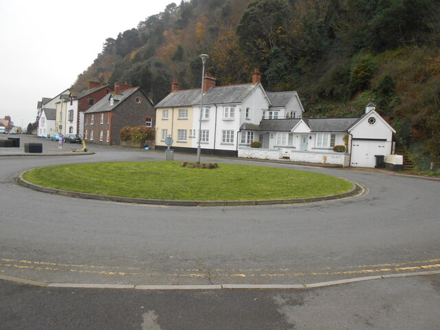
Greenaleigh dates back to the medieval period, and its heritage is evident in the well-preserved buildings and landmarks that dot the area. The village is home to several Grade II listed structures, including a 13th-century church, which showcases stunning Norman architecture and intricate stained glass windows.
Visitors to Greenaleigh can also explore the ruins of an ancient castle, believed to have been built in the 12th century. These ruins provide a glimpse into the village's past and offer an excellent opportunity for history enthusiasts to delve into the area's medieval heritage.
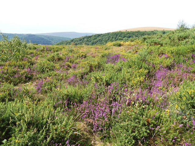
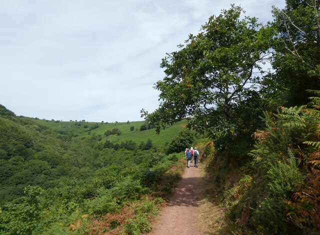
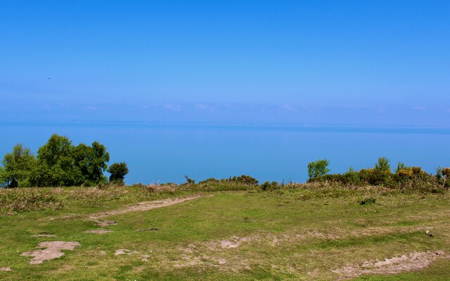
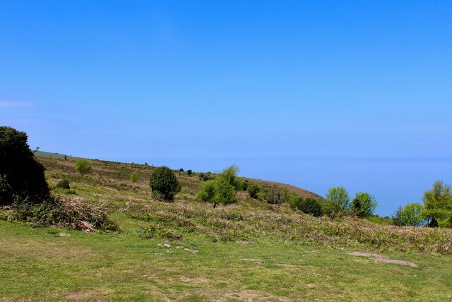
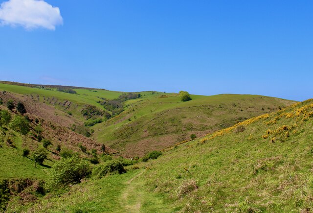
In addition to its historical significance, Greenaleigh boasts breathtaking natural beauty. Surrounded by rolling hills and lush green meadows, it is an ideal destination for outdoor enthusiasts. The village is also located near the Quantock Hills, an Area of Outstanding Natural Beauty, providing ample opportunities for hiking, cycling, and wildlife spotting.
Greenaleigh is home to a close-knit community that takes great pride in preserving its heritage. The village hosts regular events and festivals that celebrate its history, offering visitors a chance to immerse themselves in the local culture.
Overall, Greenaleigh, Somerset, is a captivating heritage site that seamlessly blends history, natural beauty, and community spirit.
If you have any feedback on the listing, please let us know in the comments section below.
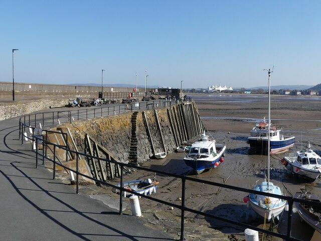
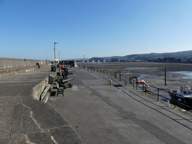
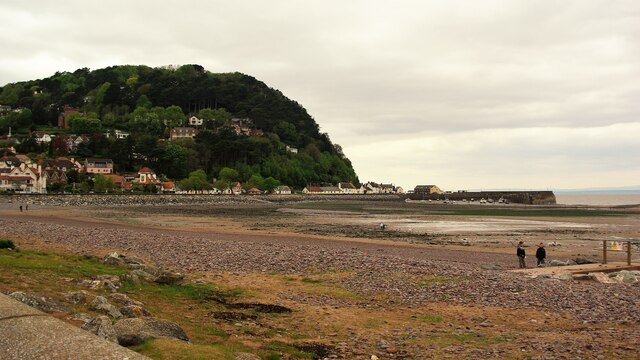
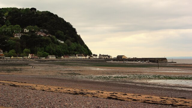
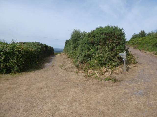
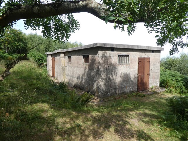
Greenaleigh Images
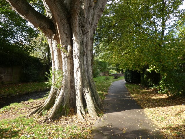
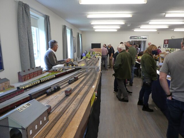
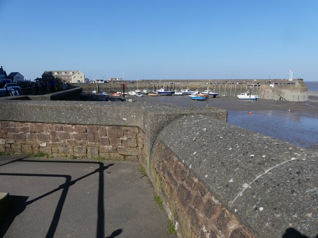
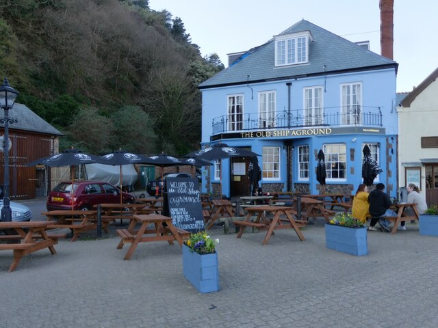
Images are sourced within 2km of 51.222/-3.498 or Grid Reference SS9548. Thanks to Geograph Open Source API. All images are credited.


Greenaleigh is located at Grid Ref: SS9548 (Lat: 51.222, Lng: -3.498)
Administrative County: Somerset
District: Somerset West and Taunton
Police Authority: Avon and Somerset
What 3 Words
///interests.back.list. Near Minehead, Somerset
Nearby Locations
Related Wikis

Church of St Michael, Minehead
The Anglican Church of St Michael in Minehead, Somerset, England was built in the 15th century. It is a Grade II* listed building. == History == The church...
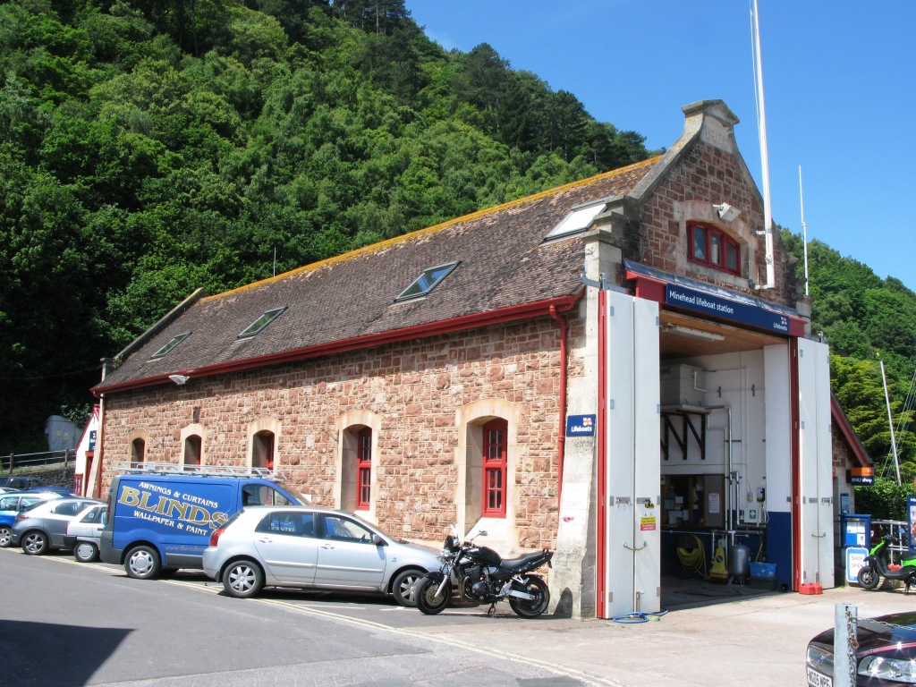
Minehead Lifeboat Station
Minehead Lifeboat Station is the base for Royal National Lifeboat Institution (RNLI) search and rescue operations at Minehead, Somerset in England. The...

Bratton Court
Bratton Court in the hamlet of Bratton within the parish of Minehead Without, Somerset, England was built as a manor house, with a 14th-century open hall...

Minehead Without
Minehead Without is a civil parish in the English county of Somerset, and within the Exmoor National Park. As its name suggests, the parish covers a rural...
Nearby Amenities
Located within 500m of 51.222,-3.498Have you been to Greenaleigh?
Leave your review of Greenaleigh below (or comments, questions and feedback).