Greenbank Garden
Heritage Site in Renfrewshire
Scotland
Greenbank Garden

Greenbank Garden is a renowned heritage site located in Renfrewshire, Scotland. It spans over 16 acres and is owned and managed by the National Trust for Scotland. The garden is celebrated for its stunning collection of plants, trees, and flowers, offering visitors a tranquil and picturesque environment.
Originally developed in the 18th century, Greenbank Garden boasts a rich history. It was initially designed as a private garden for the Historic Greenbank House, a Georgian mansion that still stands on the site. The garden was later extended and enhanced by notable horticulturists, resulting in its current impressive form.
One of the highlights of Greenbank Garden is the Walled Garden, which is divided into various sections, each showcasing different horticultural styles and themes. Visitors can explore the ornamental garden, which features colorful flowerbeds, sculptures, and a tranquil pond. The productive garden is home to a wide range of fruits, vegetables, and herbs, reflecting the garden's historical purpose of providing sustenance to the house. Additionally, there is a delightful woodland walk, where visitors can enjoy the serene beauty of the surrounding nature.
Greenbank Garden also offers educational and recreational activities for visitors of all ages. The venue hosts gardening workshops, guided tours, and seasonal events throughout the year. There is a tearoom on-site, providing refreshments and a chance to relax amidst the scenic surroundings.
With its rich history, diverse plant collections, and tranquil ambiance, Greenbank Garden is a cherished heritage site that attracts visitors from near and far. It offers a delightful experience for nature enthusiasts, history lovers, and those seeking a peaceful escape from the bustling city life.
If you have any feedback on the listing, please let us know in the comments section below.
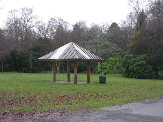
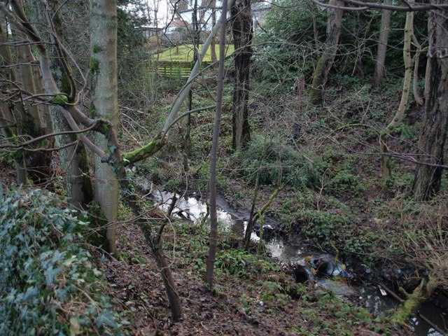
Greenbank Garden Images
Images are sourced within 2km of 55.782/-4.295 or Grid Reference NS5656. Thanks to Geograph Open Source API. All images are credited.


Greenbank Garden is located at Grid Ref: NS5656 (Lat: 55.782, Lng: -4.295)
What 3 Words
///energy.finest.rewarding. Near Busby, East Renfrewshire
Nearby Locations
Related Wikis
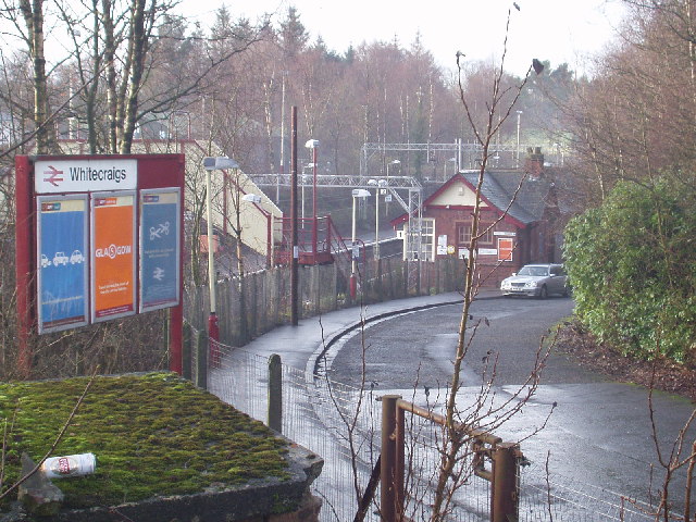
Whitecraigs railway station
Whitecraigs railway station is a railway station serving the Whitecraigs and Davieland areas of the towns of Giffnock and Newton Mearns, East Renfrewshire...

Williamwood High School
Williamwood High School is a non-denominational comprehensive secondary school in Clarkston, East Renfrewshire, Scotland, with a roll of around 1700 pupils...
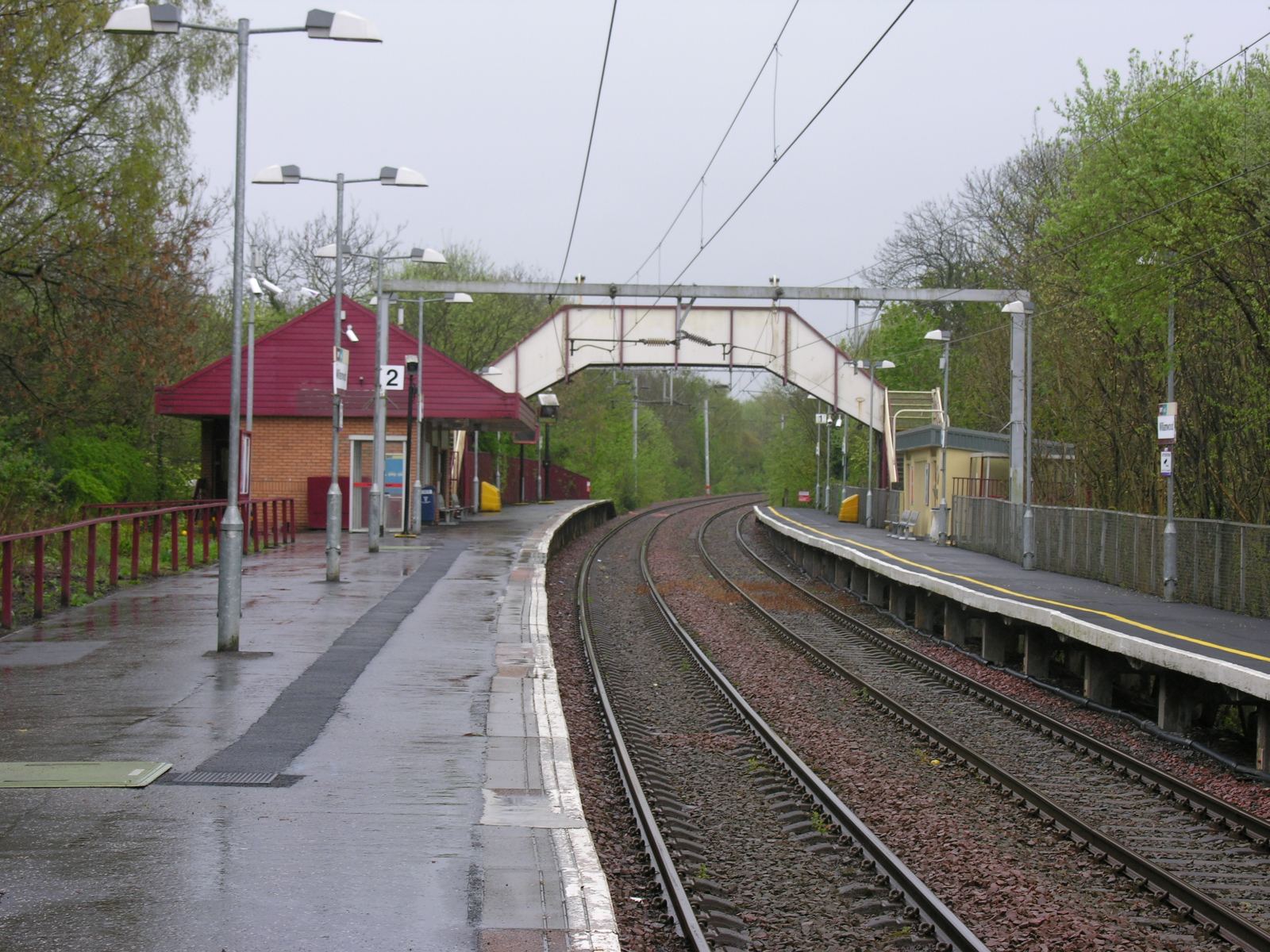
Williamwood railway station
Williamwood railway station is a railway station in the Williamwood area of the town of Clarkston, East Renfrewshire, Greater Glasgow, Scotland. The station...
Clarkston, East Renfrewshire
Clarkston (Scots: Clairkstoun, Scottish Gaelic: Baile Chlarc) is a suburban town in East Renfrewshire, in the Central Lowlands of Scotland. A dormitory...
Nearby Amenities
Located within 500m of 55.782,-4.295Have you been to Greenbank Garden?
Leave your review of Greenbank Garden below (or comments, questions and feedback).