Greenaleigh Point
Coastal Marsh, Saltings in Somerset Somerset West and Taunton
England
Greenaleigh Point
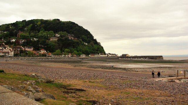
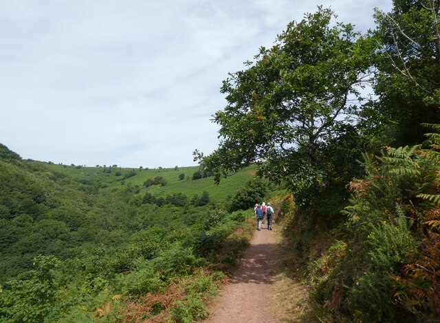
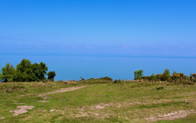
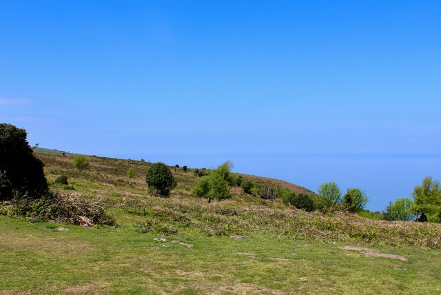
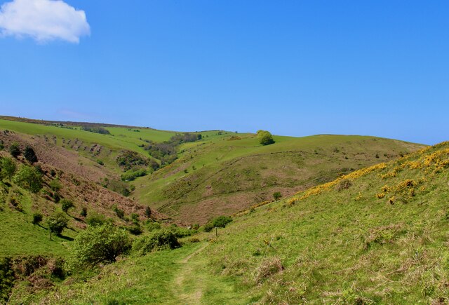
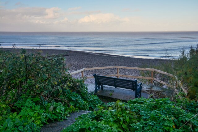
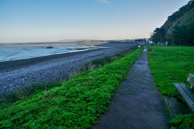
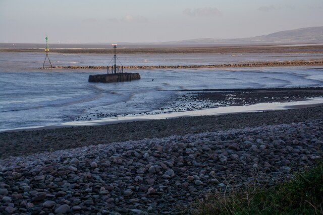
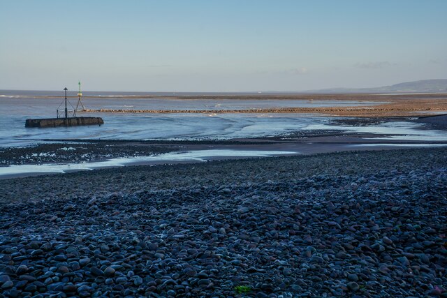
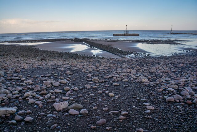
Greenaleigh Point is a picturesque coastal marsh located in Somerset, England. Situated on the edge of the Bristol Channel, it offers stunning views of the surrounding landscape and is renowned for its unique ecosystem and diverse wildlife.
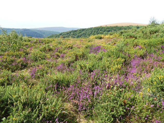
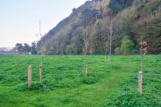
Covering an area of approximately 500 acres, Greenaleigh Point is primarily composed of salt marshes and saltings. These areas are characterized by their high salt content, which creates a distinctive environment for various plant and animal species to thrive. The marshes are periodically flooded by the tides, resulting in a constantly changing landscape that supports a wide range of habitats.
The vegetation found at Greenaleigh Point is adapted to the saline conditions, with salt-tolerant plants such as glasswort, samphire, and sea lavender dominating the area. These plants provide essential food and shelter for a variety of bird species, including curlews, oystercatchers, and redshanks, making it a popular spot for birdwatching enthusiasts.
Aside from its avian inhabitants, Greenaleigh Point also attracts numerous marine species. The shallow waters surrounding the marshes serve as a nursery for young fish and shellfish, while the mudflats provide an abundant food source for wading birds. Visitors may spot crabs, shrimps, and even seals during low tide.
Greenaleigh Point is a designated Site of Special Scientific Interest (SSSI) due to its ecological significance and the importance of its salt marsh ecosystem. It offers a peaceful and tranquil setting for nature lovers and provides a valuable sanctuary for wildlife in the region.
If you have any feedback on the listing, please let us know in the comments section below.
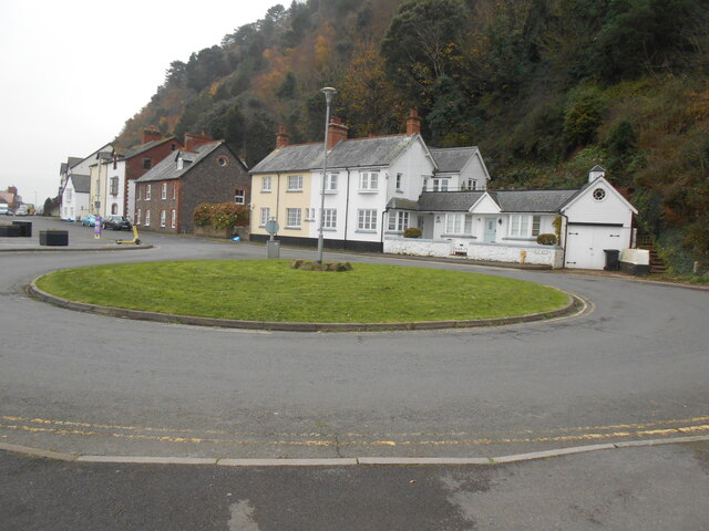
Greenaleigh Point Images
Images are sourced within 2km of 51.224395/-3.4985125 or Grid Reference SS9548. Thanks to Geograph Open Source API. All images are credited.
Greenaleigh Point is located at Grid Ref: SS9548 (Lat: 51.224395, Lng: -3.4985125)
Administrative County: Somerset
District: Somerset West and Taunton
Police Authority: Avon and Somerset
What 3 Words
///ranged.workloads.recruiter. Near Minehead, Somerset
Nearby Locations
Related Wikis

Church of St Michael, Minehead
The Anglican Church of St Michael in Minehead, Somerset, England was built in the 15th century. It is a Grade II* listed building. == History == The church...
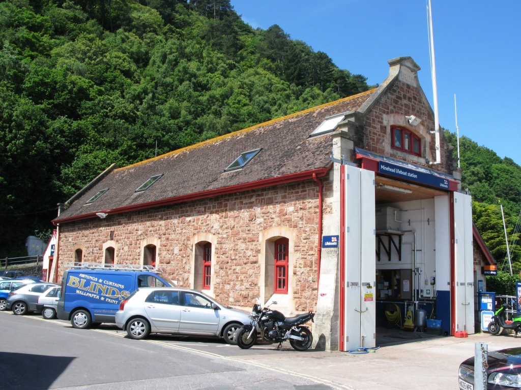
Minehead Lifeboat Station
Minehead Lifeboat Station is the base for Royal National Lifeboat Institution (RNLI) search and rescue operations at Minehead, Somerset in England. The...

Bratton Court
Bratton Court in the hamlet of Bratton within the parish of Minehead Without, Somerset, England was built as a manor house, with a 14th-century open hall...

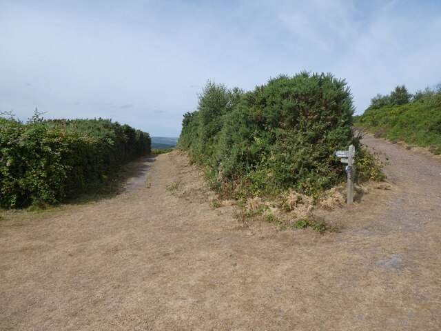
South West Coast Path
The South West Coast Path is England's longest waymarked long-distance footpath and a National Trail. It stretches for 630 miles (1,014 km), running from...

Minehead Without
Minehead Without is a civil parish in the English county of Somerset, and within the Exmoor National Park. As its name suggests, the parish covers a rural...
East Myne
East Myne is a univallate Iron Age hill fort enclosure in the West Somerset district of Somerset, England. The hill fort is situated approximately 1.1...
Minehead Town Hall
Minehead Town Hall is a municipal building in The Parade, Minehead, Somerset, England. The structure, which is the meeting place of Minehead Town Council...

Statue of Queen Anne, Minehead
The Statue of Queen Anne in Minehead, Somerset, England was built in 1719. It is a Grade II* listed building. == History == The statue depicts Queen Anne...
Nearby Amenities
Located within 500m of 51.224395,-3.4985125Have you been to Greenaleigh Point?
Leave your review of Greenaleigh Point below (or comments, questions and feedback).