Greenaleigh Sand
Beach in Somerset Somerset West and Taunton
England
Greenaleigh Sand
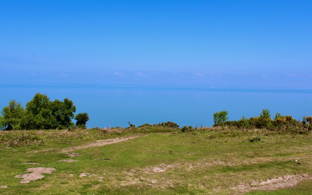
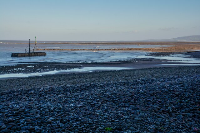
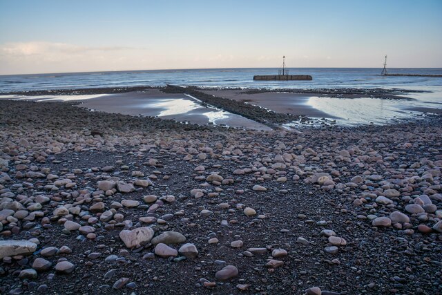
Greenaleigh Sand is a picturesque beach located in Somerset, England. Nestled along the coastline, it offers visitors a peaceful and idyllic setting to enjoy a day by the sea. With its golden sands and clear blue waters, the beach is a popular destination for locals and tourists alike.
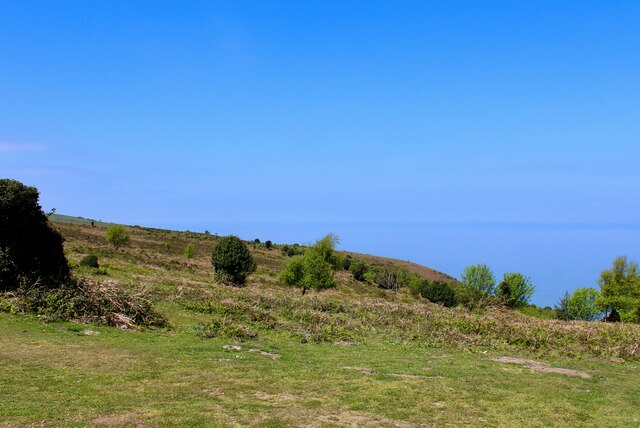
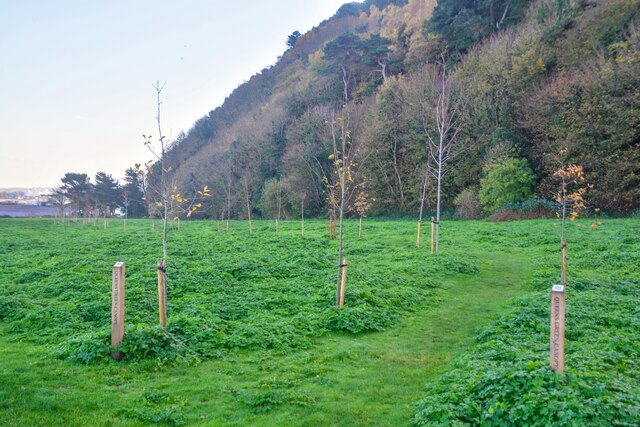
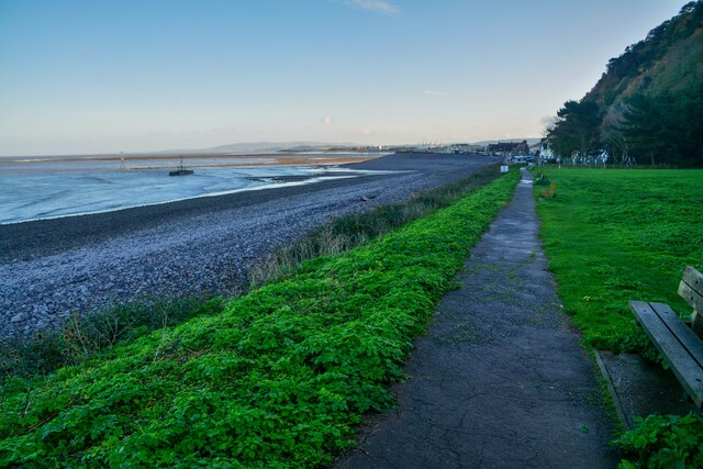
Spanning approximately half a mile in length, Greenaleigh Sand provides ample space for sunbathing, picnicking, and playing beach games. The beach is backed by gentle sand dunes, adding to its natural beauty and providing a sense of tranquility. These dunes also serve as a habitat for various plant species, contributing to the area's biodiversity.
Greenaleigh Sand is known for its clean and well-maintained environment. The beach has been awarded the Blue Flag designation, indicating its excellent water quality, safety measures, and environmental management. Lifeguards are present during peak seasons, ensuring the safety of swimmers and water sports enthusiasts.
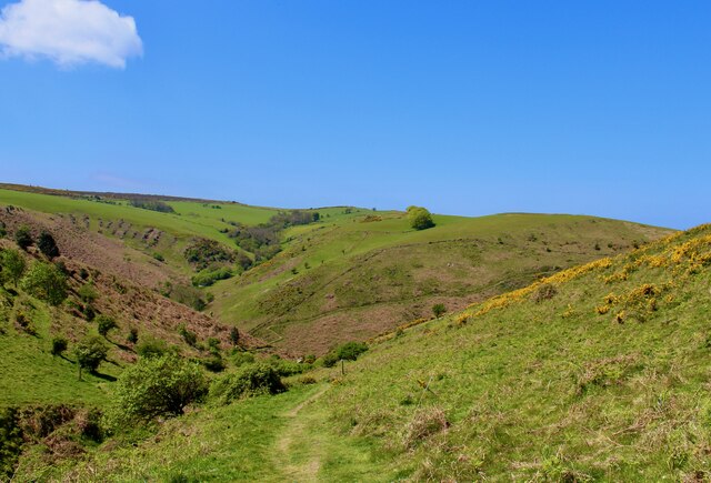
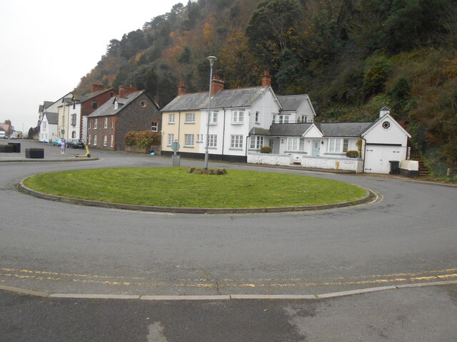
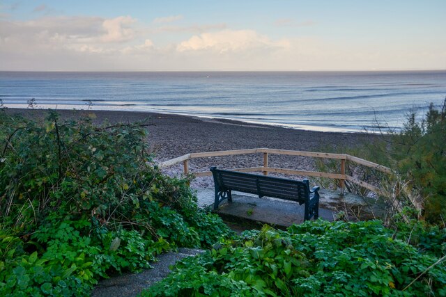
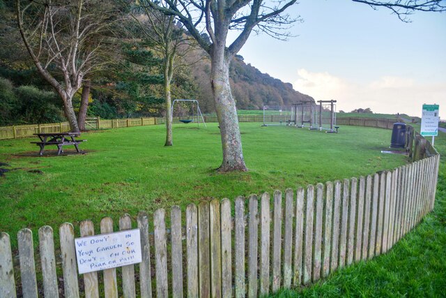
The beach offers a range of facilities to enhance visitors' experiences. There are toilets, ample parking spaces, and a nearby café serving refreshments and snacks. The surrounding area boasts stunning coastal walks, allowing visitors to explore the natural beauty of Somerset.
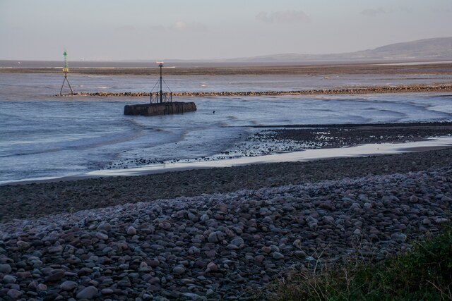
Due to its location, Greenaleigh Sand offers stunning views of the Bristol Channel and the distant Welsh coastline. It is a popular spot for watching the sunset, as the sky turns into a canvas of vibrant colors.
Overall, Greenaleigh Sand in Somerset provides a peaceful and charming seaside escape, with its golden sands, clear waters, and scenic views. It is a must-visit destination for those seeking relaxation and natural beauty.
If you have any feedback on the listing, please let us know in the comments section below.
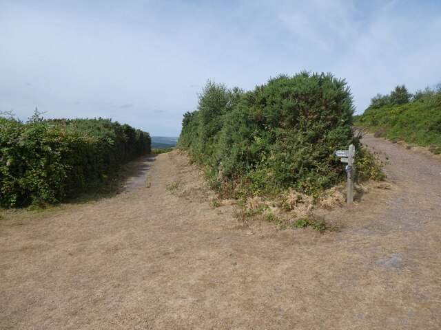
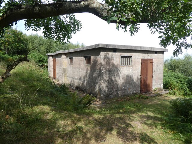
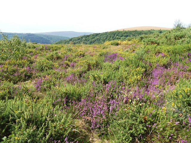
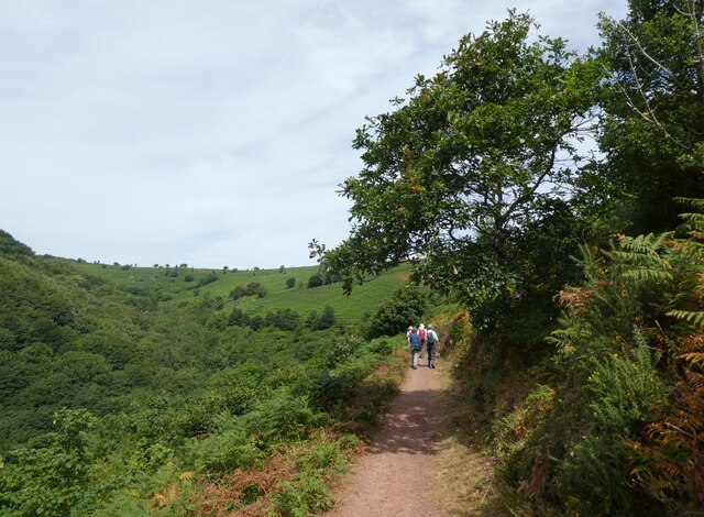
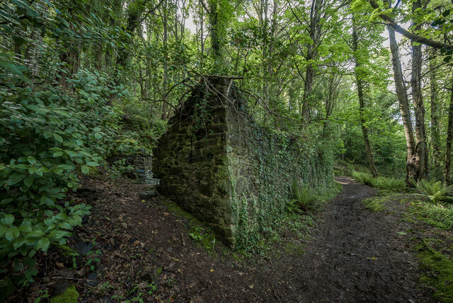
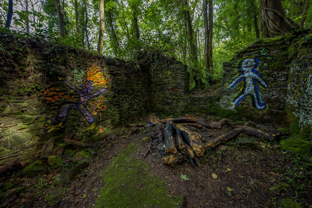
Greenaleigh Sand Images
Images are sourced within 2km of 51.224763/-3.4999995 or Grid Reference SS9548. Thanks to Geograph Open Source API. All images are credited.
Greenaleigh Sand is located at Grid Ref: SS9548 (Lat: 51.224763, Lng: -3.4999995)
Administrative County: Somerset
District: Somerset West and Taunton
Police Authority: Avon and Somerset
What 3 Words
///curl.sports.hoped. Near Minehead, Somerset
Nearby Locations
Related Wikis

Church of St Michael, Minehead
The Anglican Church of St Michael in Minehead, Somerset, England was built in the 15th century. It is a Grade II* listed building. == History == The church...
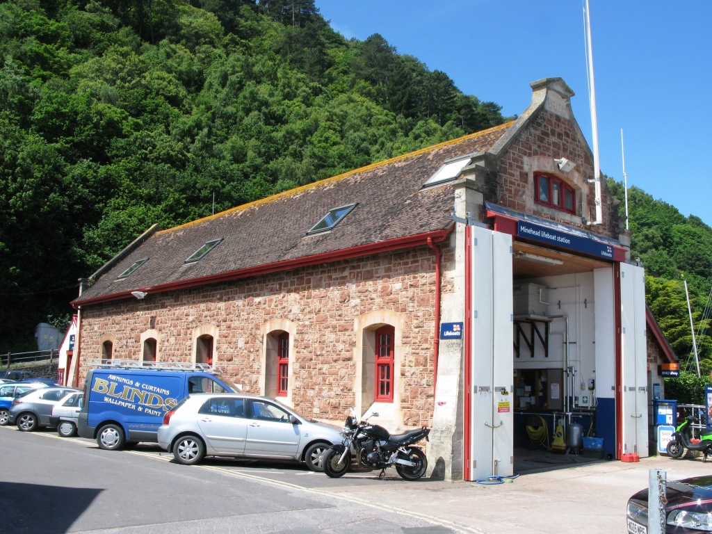
Minehead Lifeboat Station
Minehead Lifeboat Station is the base for Royal National Lifeboat Institution (RNLI) search and rescue operations at Minehead, Somerset in England. The...

Bratton Court
Bratton Court in the hamlet of Bratton within the parish of Minehead Without, Somerset, England was built as a manor house, with a 14th-century open hall...

Minehead Without
Minehead Without is a civil parish in the English county of Somerset, and within the Exmoor National Park. As its name suggests, the parish covers a rural...
Related Videos

A Coastal Hiking Trip, Part XLIII, Day 4, 'A Gentle & Weary Descent Thru Minehead Wood'by Sheila, Ju
The sight of the Wood was good and marked that the end of the hike was almost complete---a gentle reflective walk among the ...
A Coastal Hiking Trip, Part XL, Day 4, 'Singing To The Rain 'by Sheila, July 23rd 2020
No going back now--not a soul in sight just the misty rain and big black clouds encircling around and overhead. No views just the ...


WALK THE SOUTH WEST COAST PATH WITH ME | SILENT VLOG
Hiiii Another weekend, another hike. Walk the south west coast path from county gate to lynmouth with me. Enjoy Grace xo.
Nearby Amenities
Located within 500m of 51.224763,-3.4999995Have you been to Greenaleigh Sand?
Leave your review of Greenaleigh Sand below (or comments, questions and feedback).