Col-huw Point

Coastal Marsh, Saltings in Glamorgan

Wales

Col-huw Point

Llantwit Major beach (Vale of Glamorgan) Llantwit Major beach on this glorious Monday evening
Llantwit Major beach (Vale of Glamorgan) Credit: Ryan Griffiths

Col-huw Point is a coastal marsh and saltings located in Glamorgan, Wales. It is situated on the southern coast of the country, near the town of Barry. This area is known for its unique ecological features and diverse wildlife.

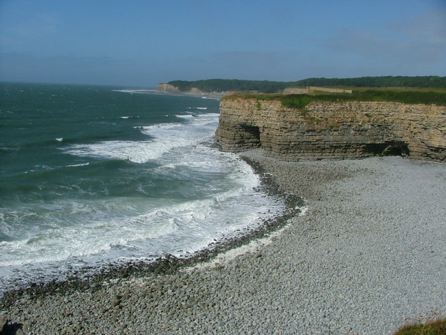
The coastal marsh of Col-huw Point is characterized by its low-lying, marshy terrain, which is often flooded with seawater during high tides. This creates a brackish environment that is rich in nutrients and supports a variety of plant and animal species. The marsh is dominated by salt-tolerant vegetation, such as saltmarsh grasses and samphire.

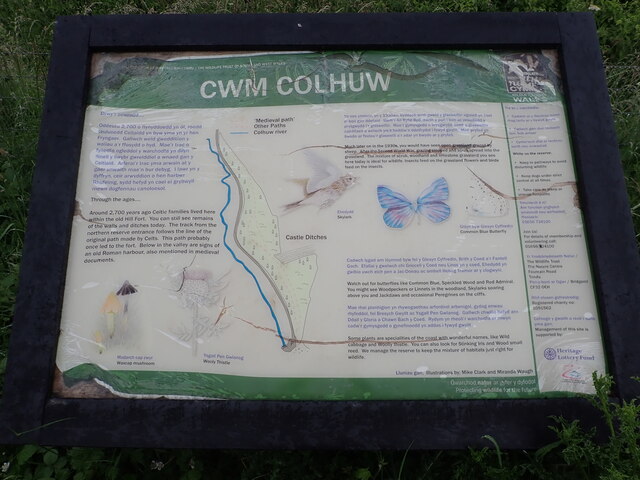
The saltings, or salt marshes, at Col-huw Point are important habitats for numerous bird species. These marshes provide feeding grounds and nesting sites for wading birds, such as redshanks, dunlins, and curlews. The area also attracts migratory birds, including sandpipers and terns, during certain times of the year.

In addition to its ecological importance, Col-huw Point also offers recreational opportunities for visitors. The area is popular among birdwatchers and nature enthusiasts who come to observe the diverse birdlife. There are also walking trails and viewing platforms that provide access to the marsh and saltings, allowing visitors to explore and appreciate the natural beauty of the area.

Overall, Col-huw Point in Glamorgan is a significant coastal marsh and saltings that supports a diverse range of plant and animal species. Its ecological importance and recreational opportunities make it a valuable natural asset in the region.

If you have any feedback on the listing, please let us know in the comments section below.

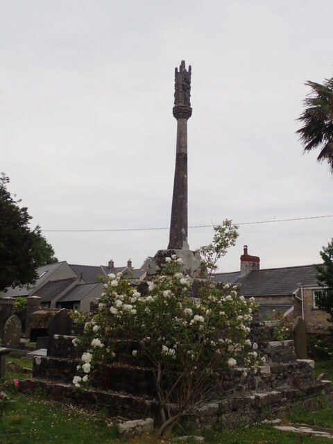
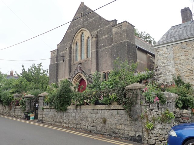
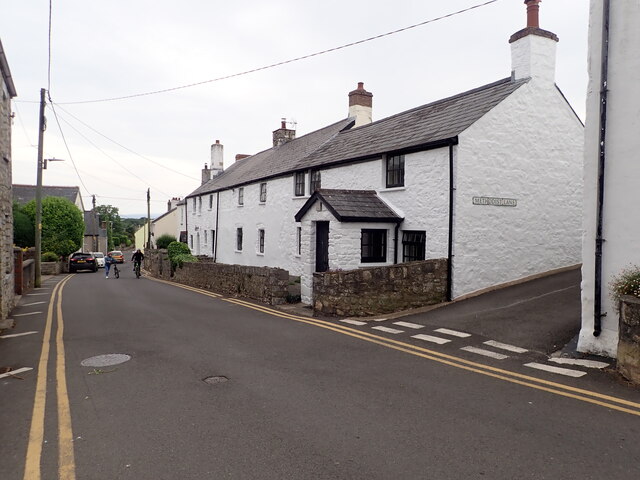
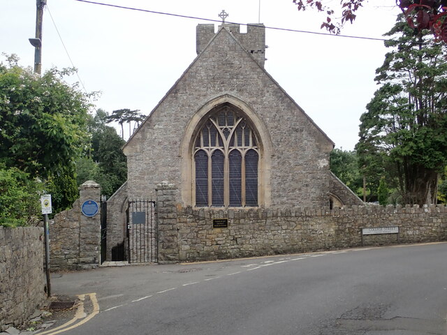
Col-huw Point Images

Images are sourced within 2km of 51.393823/-3.50469 or Grid Reference SS9567. Thanks to Geograph Open Source API. All images are credited.

Llantwit Major beach (Vale of Glamorgan) Llantwit Major beach on this glorious Monday evening
Llantwit Major beach (Vale of Glamorgan)
Llantwit Major beach on this glorious Monday evening
Llantwit Major beach at low tide Llantwit Major tide going out on this Monday evening
Llantwit Major beach at low tide
Llantwit Major tide going out on this Monday evening
Dovecote, Llantwit Major A 13th century dovecote of the monastic grange at Llantwit Major which belonged to Tewkesbury Abbey. The very complete survival of this structure is in sad contrast to the almost wholly demolished tithe barn which stood immediately to the north and was complete until 1836.
The dovecote is listed as Grade II* by Cadw.
Dovecote, Llantwit Major
A 13th century dovecote of the monastic grange at Llantwit Major which belonged to Tewkesbury Abbey. The very complete survival of this structure is in sad contrast to the almost wholly demolished tithe barn which stood immediately to the north and was complete until 1836. The dovecote is listed as Grade II* by Cadw.
Stout Point from the Wales Coast Path
Stout Point A stubby little headland at the western end of Stout Bay.
Stout Point
A stubby little headland at the western end of Stout Bay.
Fishing off Pigeon Point
St Illtud's Church, Llantwit Major The oldest part of St Illtud's Church, known as the 'West Church', dates from the early C12; the 'East Church' and the 'Galilee Chapel' from the C13, with various alterations in the C14 and C15. It was restored in the late C19 and early C20, with mid to later C20 refurnishings by George Pace. The Galilee Chapel was restored in 2013 and now houses the important collection of early medieval stones.
<span class="nowrap"><a title="https://churchheritagecymru.org.uk/church-heritage-record-st-illtud-llantwit-major-4561" rel="nofollow ugc noopener" href="https://churchheritagecymru.org.uk/church-heritage-record-st-illtud-llantwit-major-4561">Link</a><img style="margin-left:2px;" alt="External link" title="External link - shift click to open in new window" src="https://s1.geograph.org.uk/img/external.png" width="10" height="10"/></span>
St Illtud's Church, Llantwit Major
The oldest part of St Illtud's Church, known as the 'West Church', dates from the early C12; the 'East Church' and the 'Galilee Chapel' from the C13, with various alterations in the C14 and C15. It was restored in the late C19 and early C20, with mid to later C20 refurnishings by George Pace. The Galilee Chapel was restored in 2013 and now houses the important collection of early medieval stones. LinkExternal link
Gatehouse to Tewkesbury Abbey Grange The blue plaque on the west wall explains that "this 14th Century house afforded entry into a cluster of farm buildings belonging to the Grange of Tewkesbury Abbey. The Grange was an estate also known as West Llantwit or Abbot's Llantwit. After the dissolution of the monasteries it was sold to Edward Stradling and later descended to the Earl of Plymouth. On the south side the dovecote and remnants of the tithe barn are still visible."
Gatehouse to Tewkesbury Abbey Grange
The blue plaque on the west wall explains that "this 14th Century house afforded entry into a cluster of farm buildings belonging to the Grange of Tewkesbury Abbey. The Grange was an estate also known as West Llantwit or Abbot's Llantwit. After the dissolution of the monasteries it was sold to Edward Stradling and later descended to the Earl of Plymouth. On the south side the dovecote and remnants of the tithe barn are still visible."
Galilee Chapel, St Illtud's Church Early medieval stones in St Illtud's Church
Galilee Chapel, St Illtud's Church
Early medieval stones in St Illtud's Church
Churchyard Cross, Llantwit Major On the south side of the Church of St. Illtud and about 20m from the south porch. Probably dates from the C15th, but also incorporates a WW1 memorial.
Churchyard Cross, Llantwit Major
On the south side of the Church of St. Illtud and about 20m from the south porch. Probably dates from the C15th, but also incorporates a WW1 memorial.
Ebenezer Congregationalist Chapel, Colhugh Street
Quaintways At the corner of Colhugh Street and Methodist Lane. This old stone house is Grade II listed and dates from C17
Quaintways
At the corner of Colhugh Street and Methodist Lane. This old stone house is Grade II listed and dates from C17
St Illtud's Church, Llantwit Major The east end of the church.
St Illtud's Church, Llantwit Major
The east end of the church.
Footpath on the east side of Cwm Col-huw The path is at about 35m above the Col-huw valley, and there is another on the west side which is part of the Valeways Millennium Heritage Trail. This side passes the Col-huw Nature Reserve
Footpath on the east side of Cwm Col-huw
The path is at about 35m above the Col-huw valley, and there is another on the west side which is part of the Valeways Millennium Heritage Trail. This side passes the Col-huw Nature Reserve
Cwm Colhuw Nature Reserve The reserve is situated on the southern slope of the Afon Colhuw. It contains part of the boundary bank and ditches of an Iron Age Promontory Fort. These two fields are on the summit of the slope.
Cwm Colhuw Nature Reserve
The reserve is situated on the southern slope of the Afon Colhuw. It contains part of the boundary bank and ditches of an Iron Age Promontory Fort. These two fields are on the summit of the slope.
Cwm Colhuw Nature Reserve Information Panel At the southern end of the fields
Cwm Colhuw Nature Reserve Information Panel
At the southern end of the fields
Wales Coast Path Heading west, about to descend to the carpark at Llantwit Major beach
Wales Coast Path
Heading west, about to descend to the carpark at Llantwit Major beach
Wales Coast Path The descent to Llantwit Major beach, cafe and car park
Wales Coast Path
The descent to Llantwit Major beach, cafe and car park
Show me another place!

Col-huw Point is located at Grid Ref: SS9567 (Lat: 51.393823, Lng: -3.50469)

Unitary Authority: The Vale of Glamorgan

Police Authority: South Wales

What 3 Words

///performed.recorder.lived. Near Llantwit Major, Vale of Glamorgan

Nearby Locations

Dimhole Col-huw Point

Related Wikis

Afon Col-huw

The Afon Col-huw (Often River Colhuw, sometimes Anglicised Colhugh) is a very short river in Llantwit Major in the Vale of Glamorgan, south Wales. It is...

Tresilian Bay

Tresilian Bay, also Tresillian Bay, is a bay in southeast Wales, west of Llantwit Major's Collugh beach and east of St Donats, on the Bristol Channel....

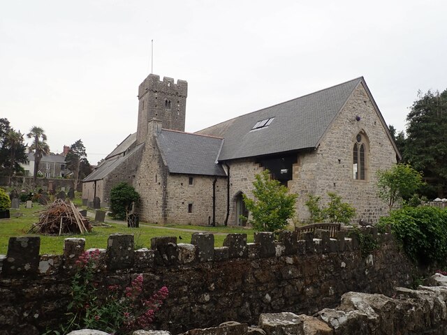
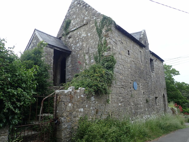
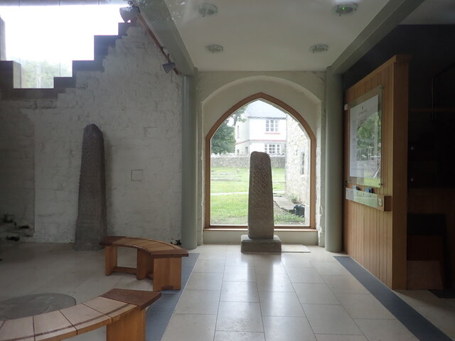
St Illtyd's Church, Llantwit Major

St Illtyd's Church is a church complex in Llantwit Major, Vale of Glamorgan, southeast Wales. It is located at the site of the oldest college in the United...

Llantwit Major Town Hall

Llantwit Major Town Hall (Welsh: Neuadd y Dref Llanilltud Fawr) is a local government administrative building dating back to the late 15th century, in...

Nearby Amenities

Located within 500m of 51.393823,-3.50469
Created By: almien_coastlines
Source: PGS
Lat/Long: 51.397675/-3.507936
Created By: almien_coastlines
Source: PGS
Lat/Long: 51.397425/-3.506498
Created By: almien_coastlines
Source: PGS
Lat/Long: 51.397047/-3.504856
Created By: almien_coastlines
Source: PGS
Lat/Long: 51.396796/-3.503624
Source: PGS
Lat/Long: 51.3963722/-3.5005423
Created By: almien_coastlines
Source: PGS
Lat/Long: 51.396045/-3.499519
Created By: almien_coastlines
Source: PGS
Lat/Long: 51.396047/-3.499109
Toilets
Lat/Long: 51.3968505/-3.5022289
Created By: GPSBabel-1.3.6
Lat/Long: 51.396383/-3.499348
Created By: GPSBabel-1.3.6
Lat/Long: 51.396399/-3.498825
Created By: GPSBabel-1.3.6
Lat/Long: 51.396722/-3.501283
Created By: GPSBabel-1.3.6
Lat/Long: 51.396695/-3.501341
Created By: GPSBabel-1.3.6
Lat/Long: 51.397192/-3.5019
Created By: GPSBabel-1.3.6
Lat/Long: 51.397182/-3.501867
Created By: GPSBabel-1.3.6
Lat/Long: 51.397038/-3.501893
Created By: GPSBabel-1.3.6
Lat/Long: 51.396775/-3.501829
Created By: GPSBabel-1.3.6
Lat/Long: 51.396719/-3.501712
The data included in this document is from www.openstreetmap.org. The data is made available under ODbL.

Have you been to Col-huw Point?

Leave your review of Col-huw Point below (or comments, questions and feedback).