Green Howe
Heritage Site in Yorkshire Hambleton
England
Green Howe

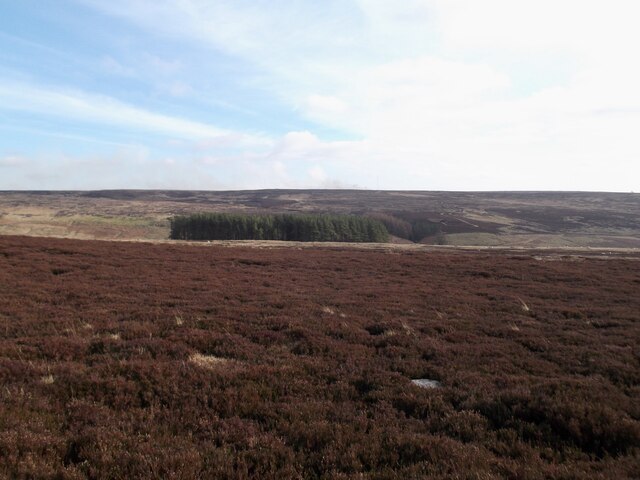
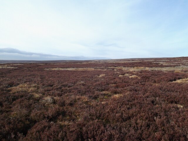
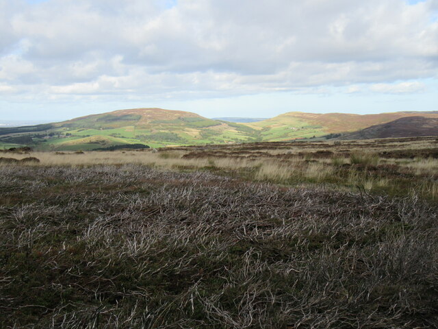
Green Howe is a historic heritage site located in Yorkshire, England. Situated near the village of Grassington, Green Howe is renowned for its picturesque beauty and rich cultural significance. The site encompasses an expansive area of rolling green hills, charming meadows, and ancient woodlands, creating a serene and idyllic setting.
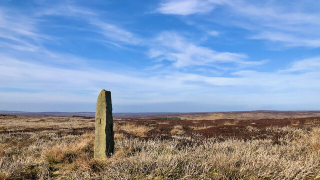
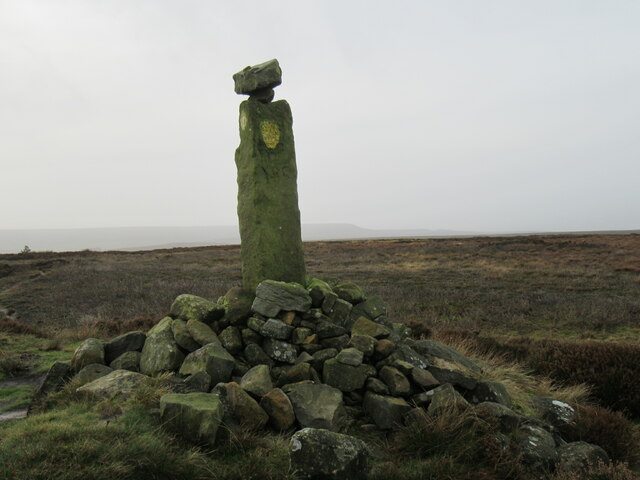
Green Howe holds a prominent place in Yorkshire's history, with evidence of human presence dating back to the Neolithic period. The site has witnessed numerous civilizations and is known to have been inhabited during the Bronze and Iron Ages. The remains of ancient settlements, burial mounds, and stone circles can still be found, providing an insight into the lives and rituals of these early communities.
The area is also notable for its diverse wildlife, hosting a range of species including birds, mammals, and rare plants. The lush grasslands and wildflower meadows provide a thriving habitat for various creatures, making it a popular destination for nature enthusiasts and birdwatchers.
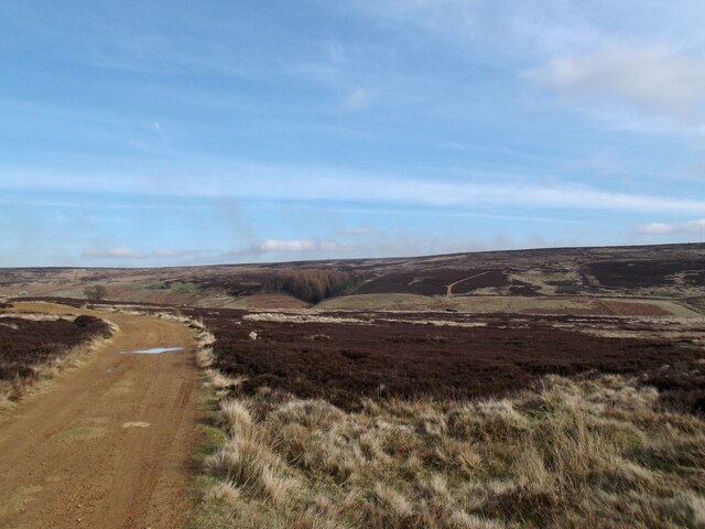
Visitors to Green Howe can explore the site through well-maintained walking trails that offer stunning panoramic views of the surrounding landscape. The area is also home to several walking and cycling routes, allowing visitors to immerse themselves in the natural beauty of Yorkshire.
In addition to its natural splendor, Green Howe offers a range of recreational activities such as picnicking, camping, and wildlife spotting. The site also hosts regular events and workshops that celebrate the region's history and cultural heritage, providing visitors with an opportunity to learn and engage with the site's fascinating past.
Overall, Green Howe in Yorkshire is an enchanting heritage site that combines breathtaking natural beauty with a rich historical and cultural legacy, offering visitors a truly memorable and immersive experience.
If you have any feedback on the listing, please let us know in the comments section below.
Green Howe Images
Images are sourced within 2km of 54.378/-1.177 or Grid Reference SE5398. Thanks to Geograph Open Source API. All images are credited.
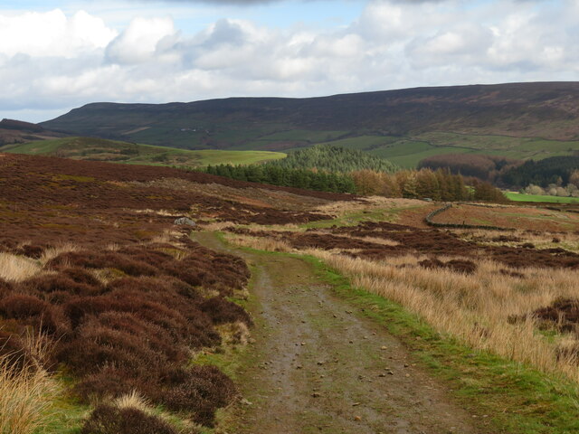
![High Crosslets Farm Hillside farm above Raisdale. From this vantage point it looks as though there's a decent track heading downhill from the farm [FP number 10.177/050] which has to be a more pleasant alternative to the mudbath that is Mill Lane. I will know better next time.](https://s2.geograph.org.uk/geophotos/07/44/40/7444046_747c6fab.jpg)


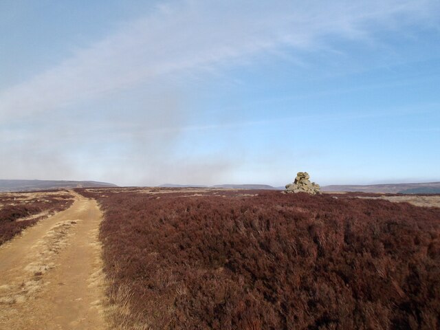
![Moorland track, Barker's Ridge There's not much level ground on the moor top of Barker's Ridge as the land rapidly drops away into either Raisdale [left] or Scugdale [right].](https://s0.geograph.org.uk/geophotos/03/83/55/3835568_eb928f08.jpg)


Green Howe is located at Grid Ref: SE5398 (Lat: 54.378, Lng: -1.177)
Division: North Riding
Administrative County: North Yorkshire
District: Hambleton
Police Authority: North Yorkshire
What 3 Words
///thinnest.broom.hillsides. Near Bilsdale, North Yorkshire
Nearby Locations
Related Wikis
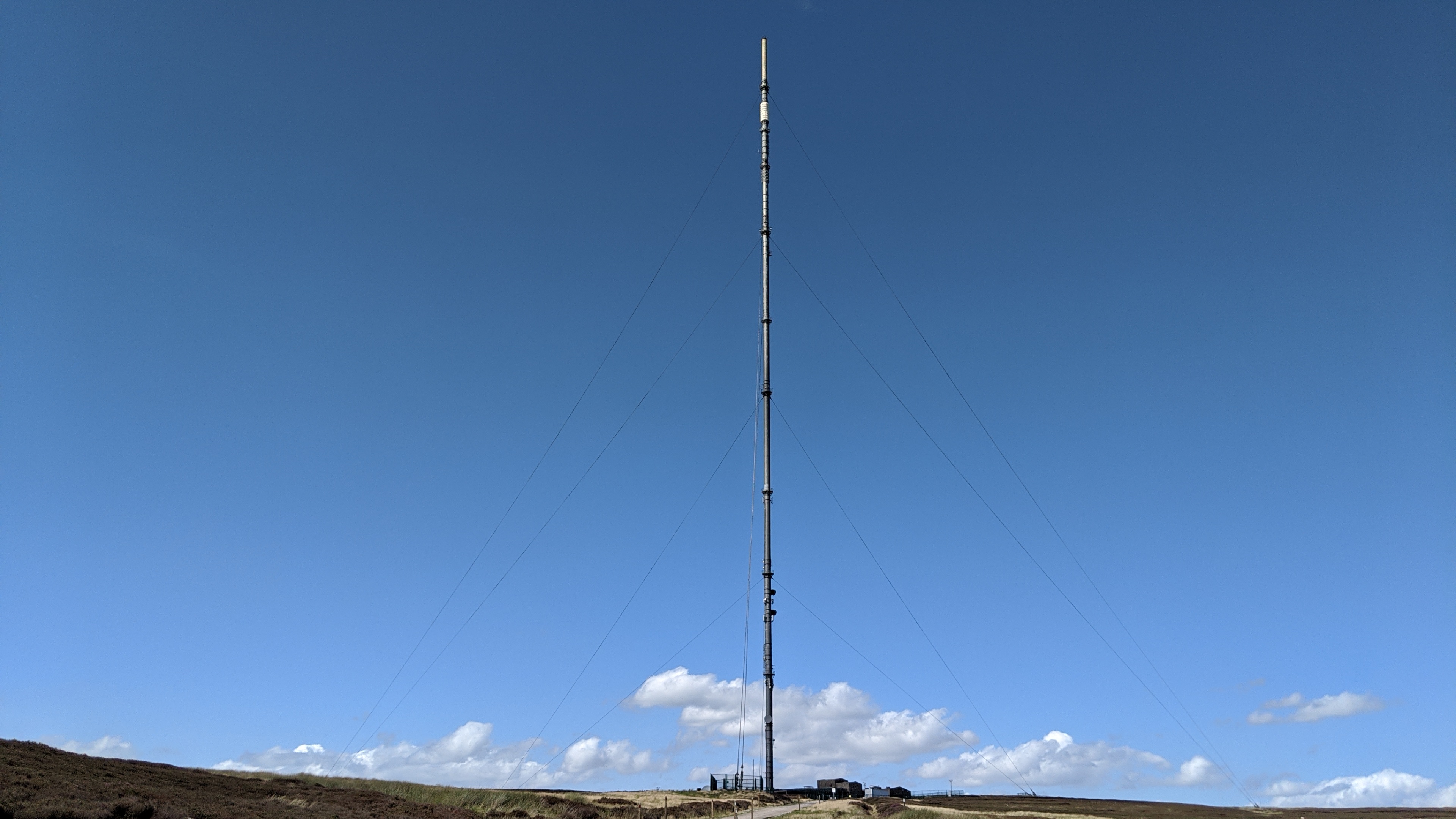
Bilsdale transmitting station
The Bilsdale transmitting station is a broadcasting and telecommunications facility, located at Bilsdale West Moor above Bilsdale, close to Helmsley, North...

Chop Gate
Chop Gate ( CHOP YAT) is a small village in the Hambleton district of North Yorkshire, England. The village lies within the North York Moors National Park...

Bilsdale Midcable
Bilsdale Midcable is a civil parish in North Yorkshire, England, which occupies the northern part of Bilsdale in the North York Moors National Park. According...

Cleveland Hills
The Cleveland Hills are a range of hills on the north-west edge of the North York Moors in North Yorkshire, England, overlooking Cleveland and Teesside...
Nearby Amenities
Located within 500m of 54.378,-1.177Have you been to Green Howe?
Leave your review of Green Howe below (or comments, questions and feedback).