Goodhope
Heritage Site in Pembrokeshire
Wales
Goodhope
Goodhope is a historical heritage site located in the picturesque county of Pembrokeshire, Wales. Situated amidst the rolling hills and lush greenery, this enchanting site has become a popular destination for history enthusiasts and nature lovers alike.
The origins of Goodhope can be traced back to the 12th century when it was originally built as a fortified manor house. Over the centuries, it underwent numerous modifications and expansions, reflecting the changing architectural styles and needs of its inhabitants. Today, the site stands as a testament to its rich past, showcasing a unique blend of medieval and Tudor architectural elements.
Visitors to Goodhope can explore the well-preserved ruins of the manor house, which include a grand hall, a chapel, and various chambers. The intricate stone carvings and ornate decorative features provide a glimpse into the opulence and grandeur of the past.
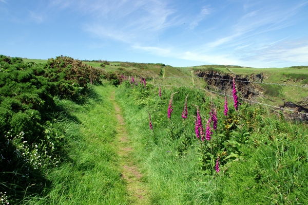
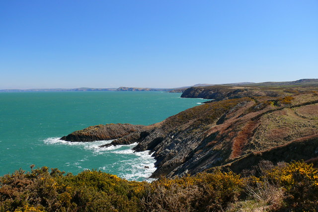
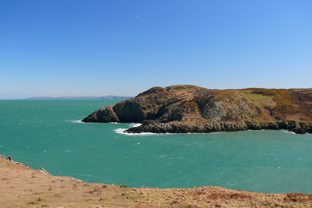
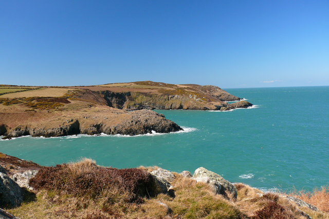
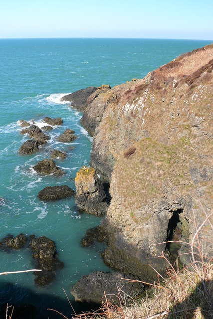
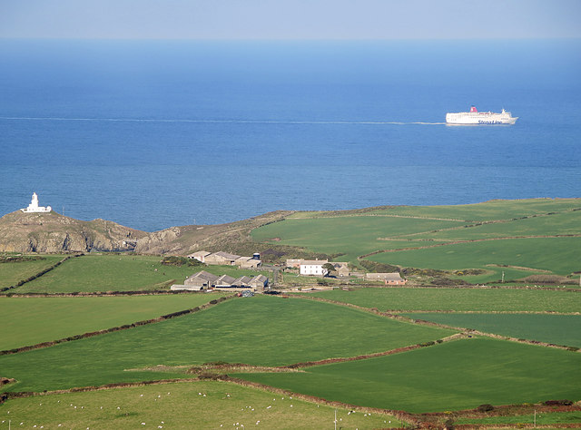
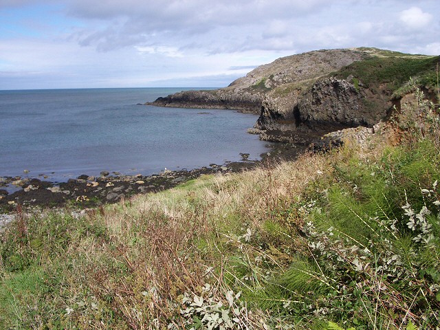
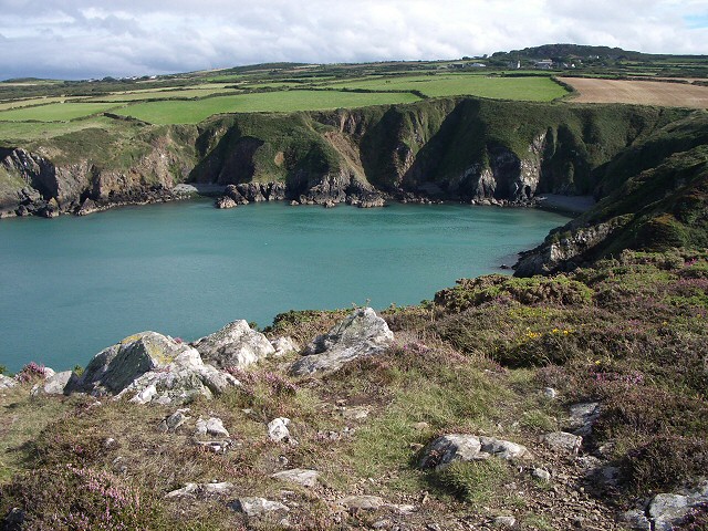
Aside from its historical significance, Goodhope also boasts stunning natural surroundings. The site is nestled within expansive grounds, adorned with beautiful gardens and ancient woodlands. Walking trails lead visitors through the idyllic countryside, offering breathtaking views of the surrounding landscape and glimpses of local wildlife.
Goodhope is open to the public year-round, with guided tours available to help visitors fully appreciate the historical and natural wonders of the site. Whether you are interested in history, architecture, or simply seeking tranquility in a picturesque setting, Goodhope is a must-visit destination in Pembrokeshire.
If you have any feedback on the listing, please let us know in the comments section below.
Goodhope Images
Images are sourced within 2km of 52.024/-5.043 or Grid Reference SM9140. Thanks to Geograph Open Source API. All images are credited.


![Pillow lavas near Strumble Head [Fishguard] This illustrates that at one time there was volcanic activity.](https://s1.geograph.org.uk/photos/00/48/004881_2ae04d08.jpg)
Goodhope is located at Grid Ref: SM9140 (Lat: 52.024, Lng: -5.043)
Unitary Authority: Pembrokeshire
Police Authority: Dyfed Powys
What 3 Words
///slogans.unstated.juicy. Near Goodwick, Pembrokeshire
Nearby Locations
Related Wikis
Pencaer
Pencaer is a community which covers an area of dispersed settlement in Pembrokeshire, Wales, on the peninsula of Pen Caer and comprises the village of...

Strumble Head
Strumble Head (Welsh: Pen Caer,Trwyn-câr, Pen Strwmbl) is a rocky headland in the community of Pencaer in Pembrokeshire, Wales, within the Pembrokeshire...
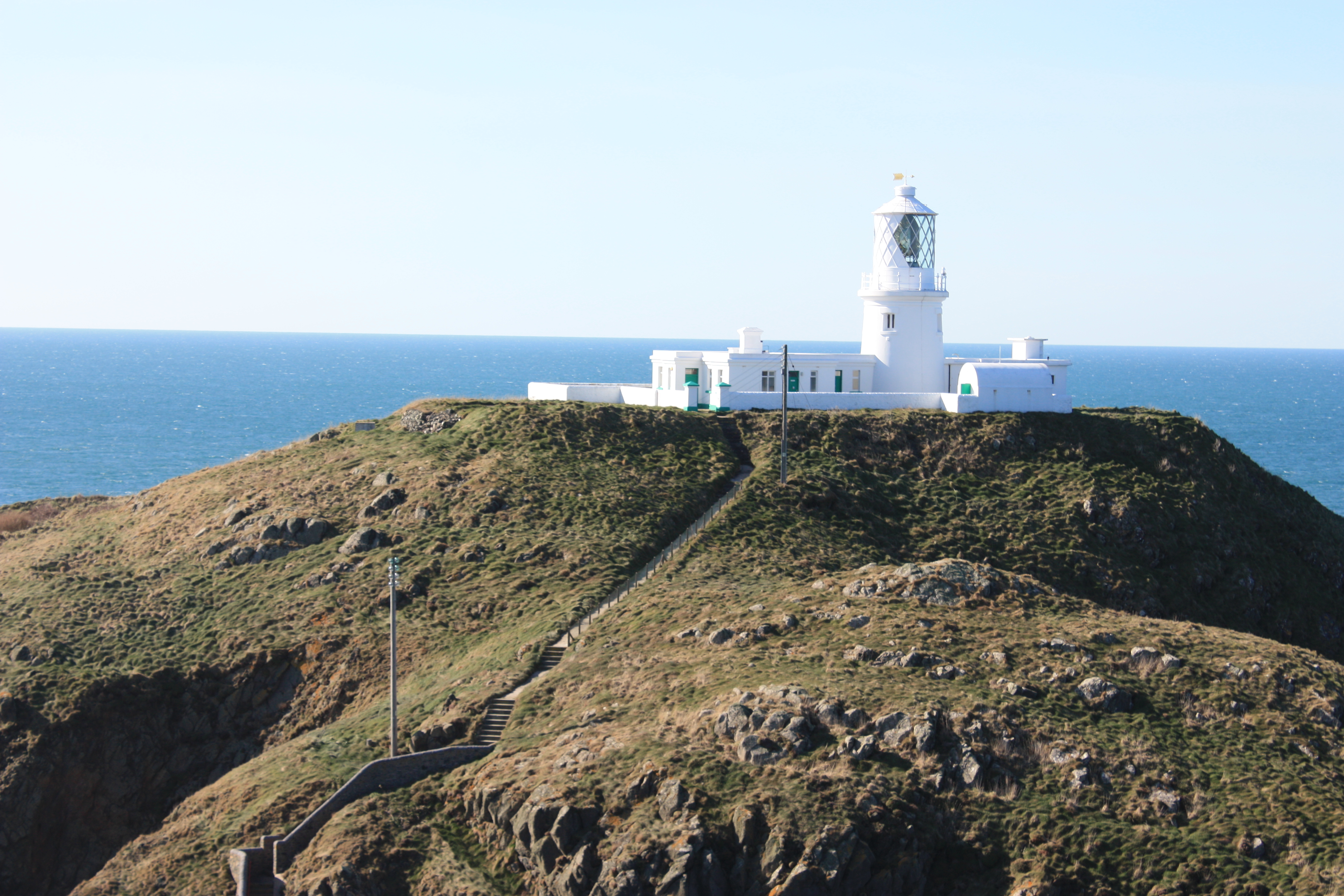
Strumble Head Lighthouse
Strumble Head Lighthouse stands on Ynys Meicel (from Welsh: St. Michael's Island), also known as Strumble Head, a rocky island at the northwest corner...
Llanwnda, Pembrokeshire
Llanwnda is a rural village and parish to the north of the Welsh county of Pembrokeshire and part of the community of Pencaer. It lies some two miles northwest...

Strumble Head - Llechdafad Cliffs
Strumble Head - Llechdafad Cliffs is a Site of Special Scientific Interest (SSSI) in Pembrokeshire, South Wales. It has been designated as a SSSI since...

Trefasser
Trefasser (variations: Tref-Asser, or Trêf Asser, or Asserton; translation: "town" of "Asser") is a hamlet, located to the west of Fishguard in western...
Calburga
Calburga was a Canadian barque, the last Canadian-built square-rigger of large tonnage. She was built in 1890 at South Maitland, Nova Scotia by local shipbuilder...

Fishguard and Goodwick railway station
Fishguard and Goodwick railway station is a railway station sited 1 mile from Fishguard in the neighbouring town of Goodwick, Pembrokeshire, Wales. It...
Nearby Amenities
Located within 500m of 52.024,-5.043Have you been to Goodhope?
Leave your review of Goodhope below (or comments, questions and feedback).