Y Penrhyn
Coastal Feature, Headland, Point in Pembrokeshire
Wales
Y Penrhyn
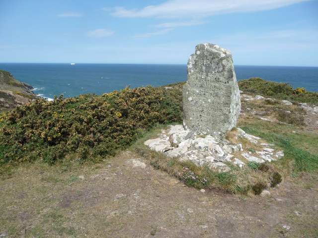
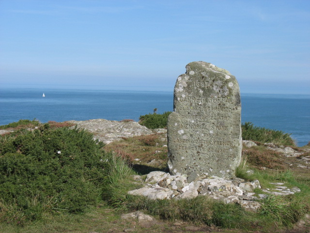
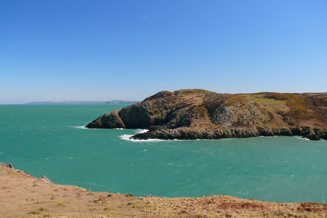
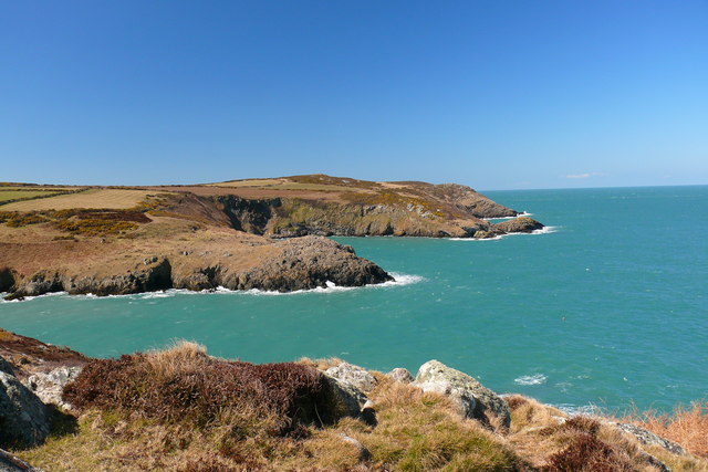
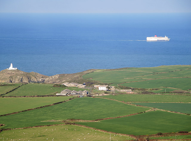
Y Penrhyn is a prominent headland located in Pembrokeshire, Wales. Situated on the southwestern coast of the country, it is a notable coastal feature that offers stunning views of the surrounding landscape. The headland is positioned at the northern entrance of the Milford Haven Waterway, overlooking the vast expanse of the Celtic Sea.
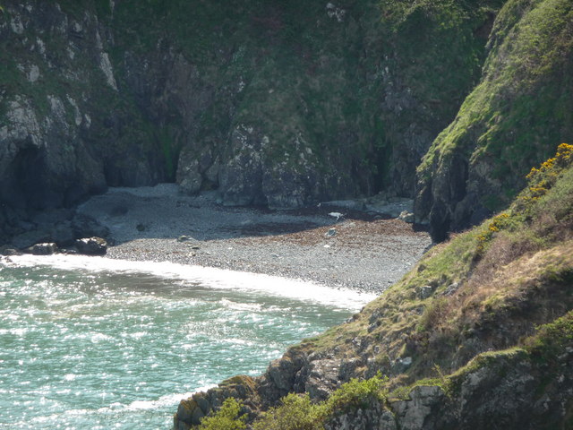
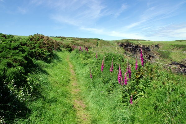
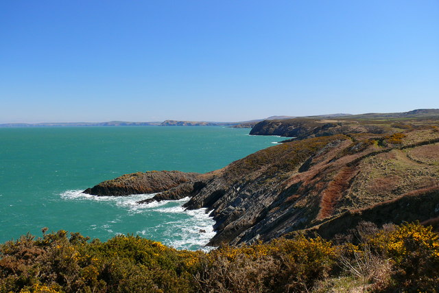
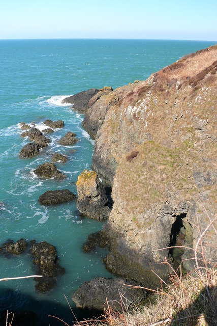
With its rugged cliffs and rocky outcrops, Y Penrhyn is a popular destination for hikers, nature enthusiasts, and photographers. The headland is known for its diverse wildlife and rich biodiversity, offering visitors the chance to spot various seabirds, seals, and even dolphins in the nearby waters.
The area surrounding Y Penrhyn is characterized by its dramatic coastal scenery, with steep cliffs dropping down to the sea below. The headland itself is formed by layers of sedimentary rock, providing a glimpse into the geological history of the region.
Y Penrhyn also holds historical significance, as it was once home to a fortified Iron Age settlement. Archaeological remains and ancient earthworks can still be seen, adding an extra layer of interest for those intrigued by the area's past.
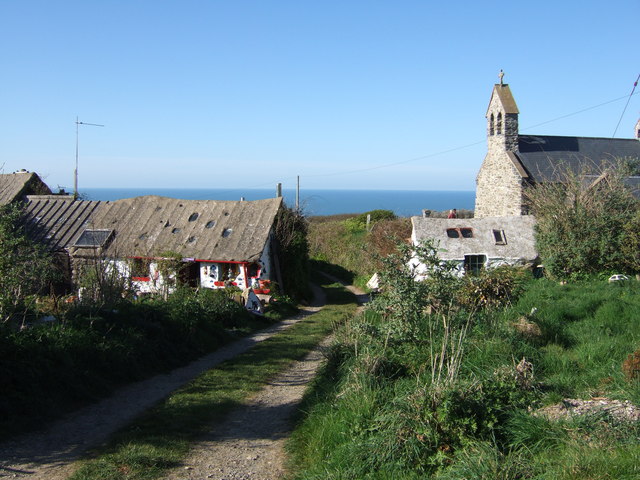
Access to Y Penrhyn is relatively easy, with a network of footpaths and trails leading to the headland. Visitors can enjoy leisurely walks along the coastal path, taking in the breathtaking views and experiencing the raw beauty of this coastal feature.
Overall, Y Penrhyn is a captivating headland that offers a combination of natural beauty, wildlife, and historical significance. Whether it's exploring the rugged cliffs, observing the diverse marine life, or immersing oneself in the area's rich history, Y Penrhyn provides a memorable experience for all who visit.
If you have any feedback on the listing, please let us know in the comments section below.
Y Penrhyn Images
Images are sourced within 2km of 52.026574/-5.0434169 or Grid Reference SM9140. Thanks to Geograph Open Source API. All images are credited.


![Pillow lavas near Strumble Head [Fishguard] This illustrates that at one time there was volcanic activity.](https://s1.geograph.org.uk/photos/00/48/004881_2ae04d08.jpg)
Y Penrhyn is located at Grid Ref: SM9140 (Lat: 52.026574, Lng: -5.0434169)
Unitary Authority: Pembrokeshire
Police Authority: Dyfed Powys
What 3 Words
///renting.hiring.glitter. Near Goodwick, Pembrokeshire
Nearby Locations
Related Wikis
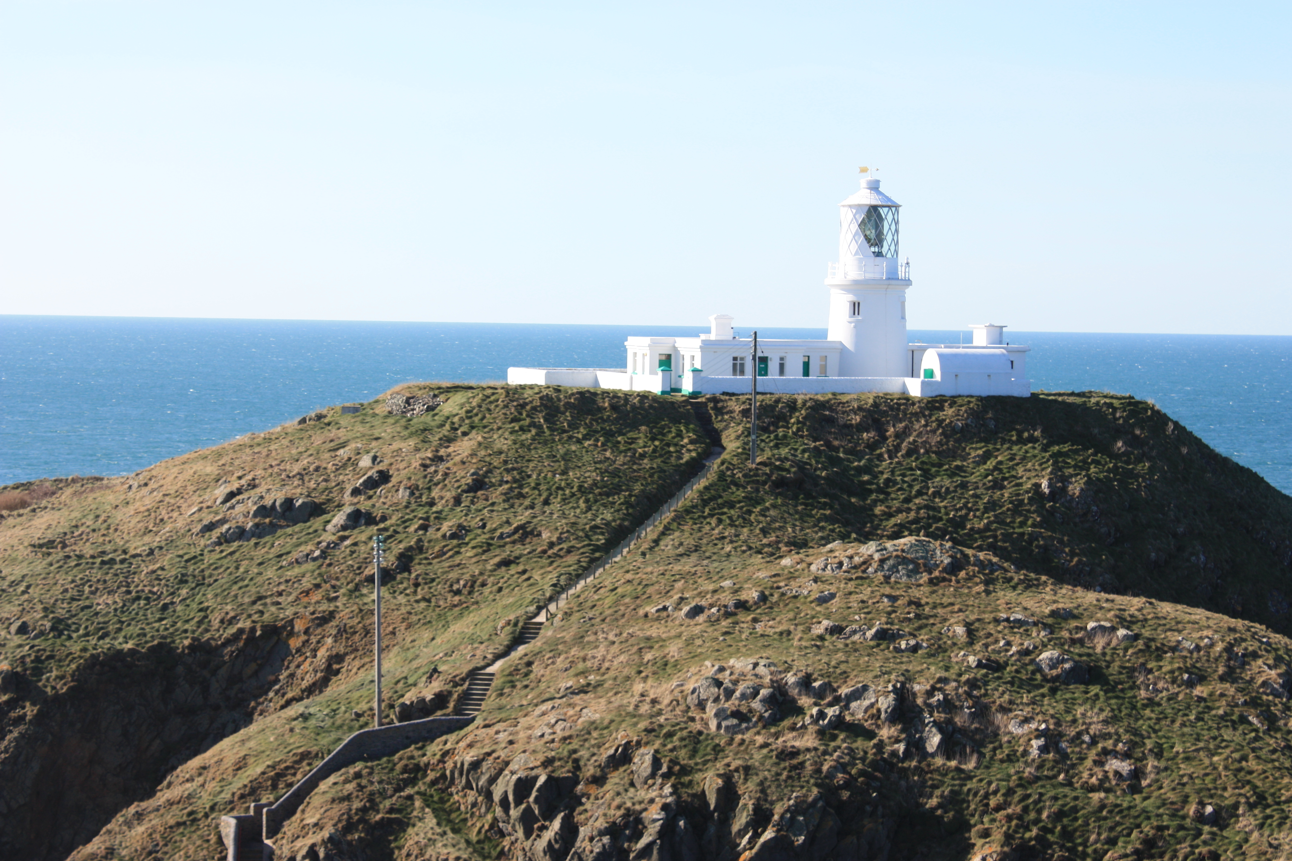
Strumble Head Lighthouse
Strumble Head Lighthouse stands on Ynys Meicel (from Welsh: St. Michael's Island), also known as Strumble Head, a rocky island at the northwest corner...

Strumble Head
Strumble Head (Welsh: Pen Caer,Trwyn-câr, Pen Strwmbl) is a rocky headland in the community of Pencaer in Pembrokeshire, Wales, within the Pembrokeshire...
Pencaer
Pencaer is a community which covers an area of dispersed settlement in Pembrokeshire, Wales, on the peninsula of Pen Caer and comprises the village of...
Llanwnda, Pembrokeshire
Llanwnda is a rural village and parish to the north of the Welsh county of Pembrokeshire and part of the community of Pencaer. It lies some two miles northwest...
Nearby Amenities
Located within 500m of 52.026574,-5.0434169Have you been to Y Penrhyn?
Leave your review of Y Penrhyn below (or comments, questions and feedback).