Pennarin Point
Coastal Feature, Headland, Point in Cornwall
England
Pennarin Point
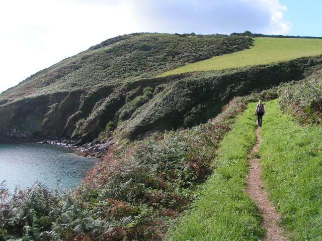
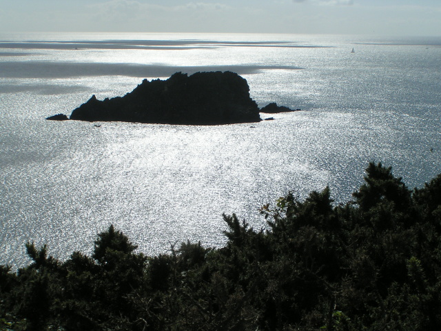
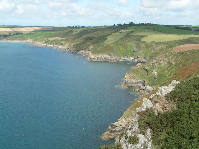
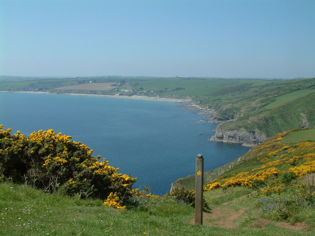
Pennarin Point is a prominent headland located on the rugged coastline of Cornwall, England. Situated in the southern part of the county, it offers breathtaking panoramic views of the Atlantic Ocean and is a popular destination for locals and tourists alike.
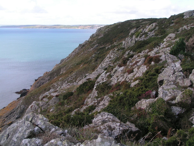
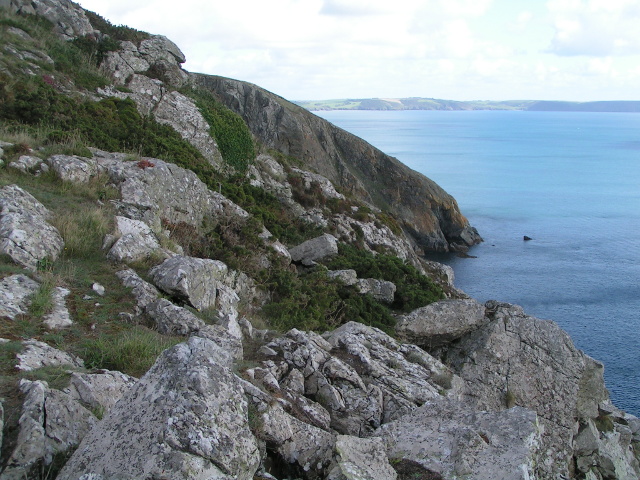
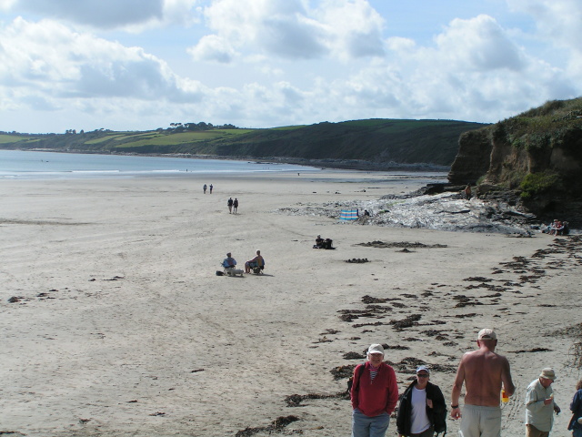
The headland is characterized by its dramatic cliffs, rising to a height of approximately 100 meters above sea level. These cliffs are composed of slate and granite, showcasing the geological diversity of the area. At the base of the cliffs, there are rocky shores interspersed with small sandy coves, providing opportunities for beachcombing and exploring.
Pennarin Point is known for its rich biodiversity, with a variety of plant and animal species thriving in the unique coastal ecosystem. The headland is home to numerous seabird colonies, including razorbills, guillemots, and fulmars, which can be observed nesting and diving into the sea. Visitors may also catch glimpses of dolphins and seals swimming offshore, adding to the natural beauty of the area.
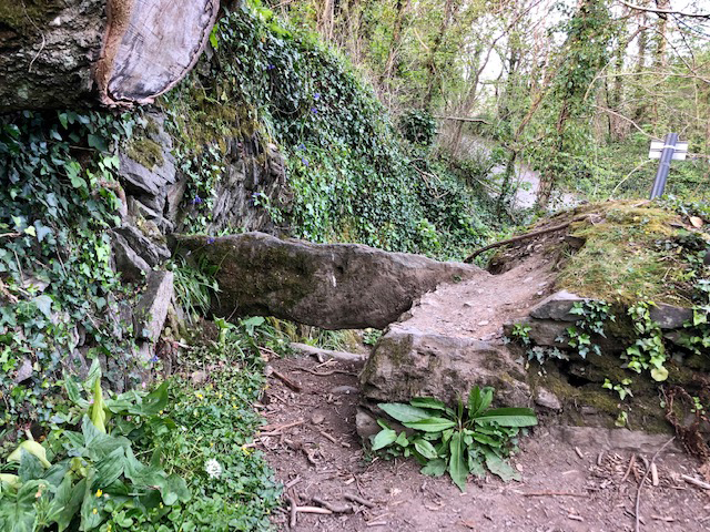
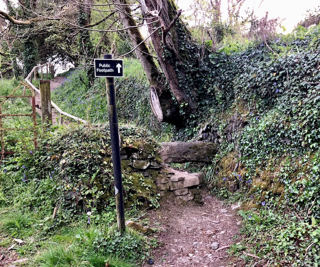
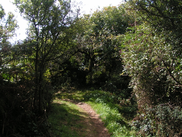
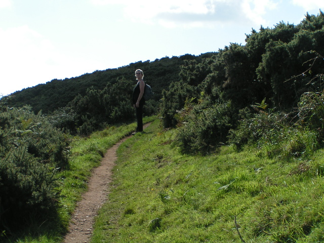
Access to Pennarin Point is primarily via a footpath that winds along the cliffs, offering stunning vistas at every turn. The headland is also a starting point for several hiking trails that lead to other scenic spots along the coast, such as secluded coves and hidden beaches.
In summary, Pennarin Point is a captivating coastal feature in Cornwall, boasting dramatic cliffs, diverse wildlife, and breathtaking views. It is a must-visit destination for nature enthusiasts and those seeking to immerse themselves in the rugged beauty of the Cornish coastline.
If you have any feedback on the listing, please let us know in the comments section below.
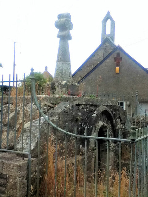
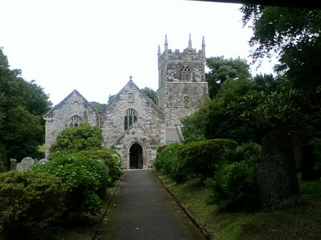
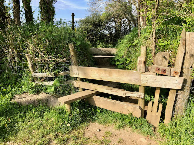
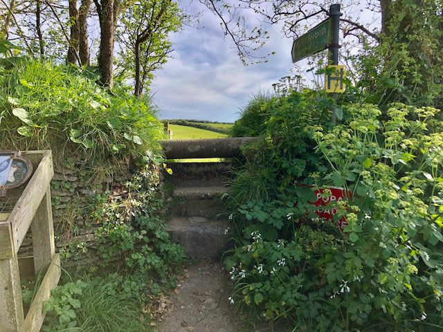
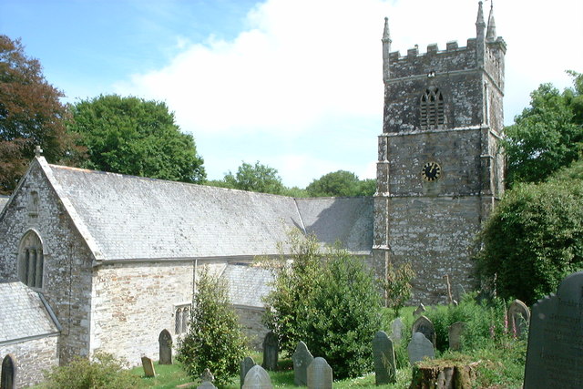
Pennarin Point Images
Images are sourced within 2km of 50.201818/-4.9251681 or Grid Reference SW9137. Thanks to Geograph Open Source API. All images are credited.

Pennarin Point is located at Grid Ref: SW9137 (Lat: 50.201818, Lng: -4.9251681)
Unitary Authority: Cornwall
Police Authority: Devon and Cornwall
What 3 Words
///stop.bookings.hiker. Near Portscatho, Cornwall
Nearby Locations
Related Wikis
Gerrans Bay to Camels Cove
Gerrans Bay to Camels Cove is a coastal Site of Special Scientific Interest (SSSI) in south Cornwall, England, UK, noted for both its biological and geological...

Veryan
Veryan (Cornish: Elerghi) is a coastal civil parish and village on the Roseland Peninsula in Cornwall, England, United Kingdom. The village has been described...

Melinsey
Melinsey is a hamlet south of Ruan High Lanes in Cornwall, England. The name is derived from the Cornish word "melinjy" which means "mill house". Melinsey...

Lower Mill, Cornwall
Lower Mill is a hamlet in the parish of Veryan, Cornwall, England, UK. Lower Mill is approximately 5 miles (8.0 km) south-east of Truro. == References ==
Nearby Amenities
Located within 500m of 50.201818,-4.9251681Have you been to Pennarin Point?
Leave your review of Pennarin Point below (or comments, questions and feedback).