Nare Head
Coastal Feature, Headland, Point in Cornwall
England
Nare Head
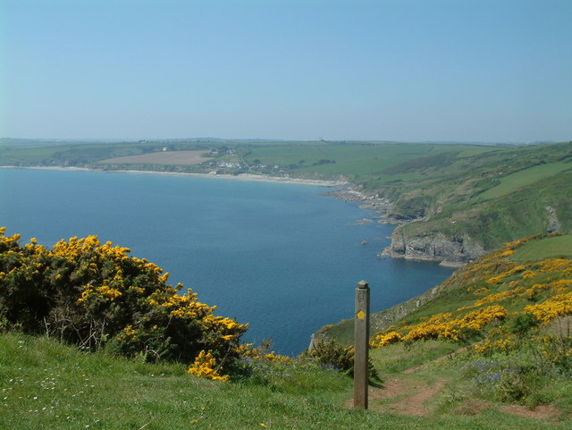
Nare Head is a prominent coastal feature located in Cornwall, England. It is a picturesque headland that juts out into the Atlantic Ocean, offering stunning views and dramatic cliffs. Situated on the Roseland Peninsula, Nare Head is a popular destination for nature lovers, hikers, and photographers.
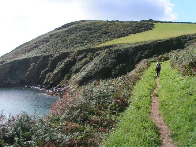
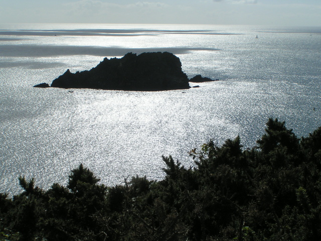
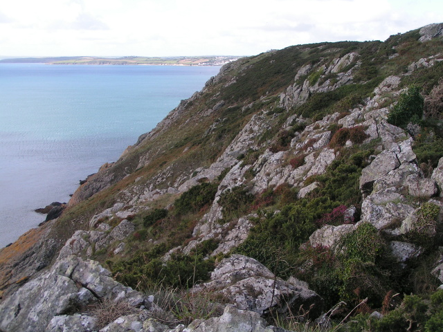
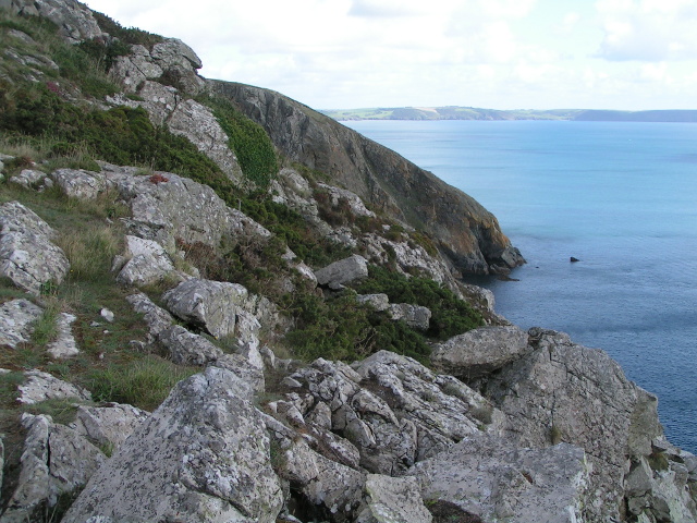
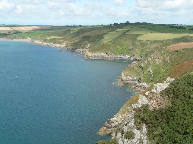
The headland is characterized by its rugged and rocky landscape, with towering cliffs that reach heights of up to 70 meters. These cliffs provide a nesting ground for various seabirds, including fulmars and kittiwakes, making it a haven for birdwatching enthusiasts. The surrounding waters are also rich in marine life, attracting seals and dolphins, which can often be spotted swimming in the surf.
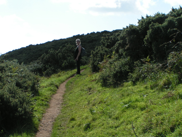
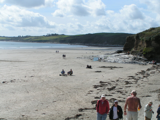
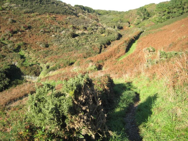
Nare Head is easily accessible by foot, with a network of trails and footpaths that lead to the headland. One of the most popular routes is the South West Coast Path, which offers breathtaking views along the way. The path meanders through wildflower meadows, past ancient ruins, and eventually reaches the headland, where visitors can enjoy panoramic vistas of the Cornish coastline.
In addition to its natural beauty, Nare Head holds historical significance. The headland was once home to a World War II lookout post, which served as a defense against potential enemy attacks. Today, the ruins of the outpost still stand, providing a glimpse into the area's wartime past.
Overall, Nare Head is a captivating coastal feature that showcases the raw beauty of Cornwall's coastline. With its stunning cliffs, diverse wildlife, and rich history, it is a must-visit destination for those seeking an immersive coastal experience.
If you have any feedback on the listing, please let us know in the comments section below.
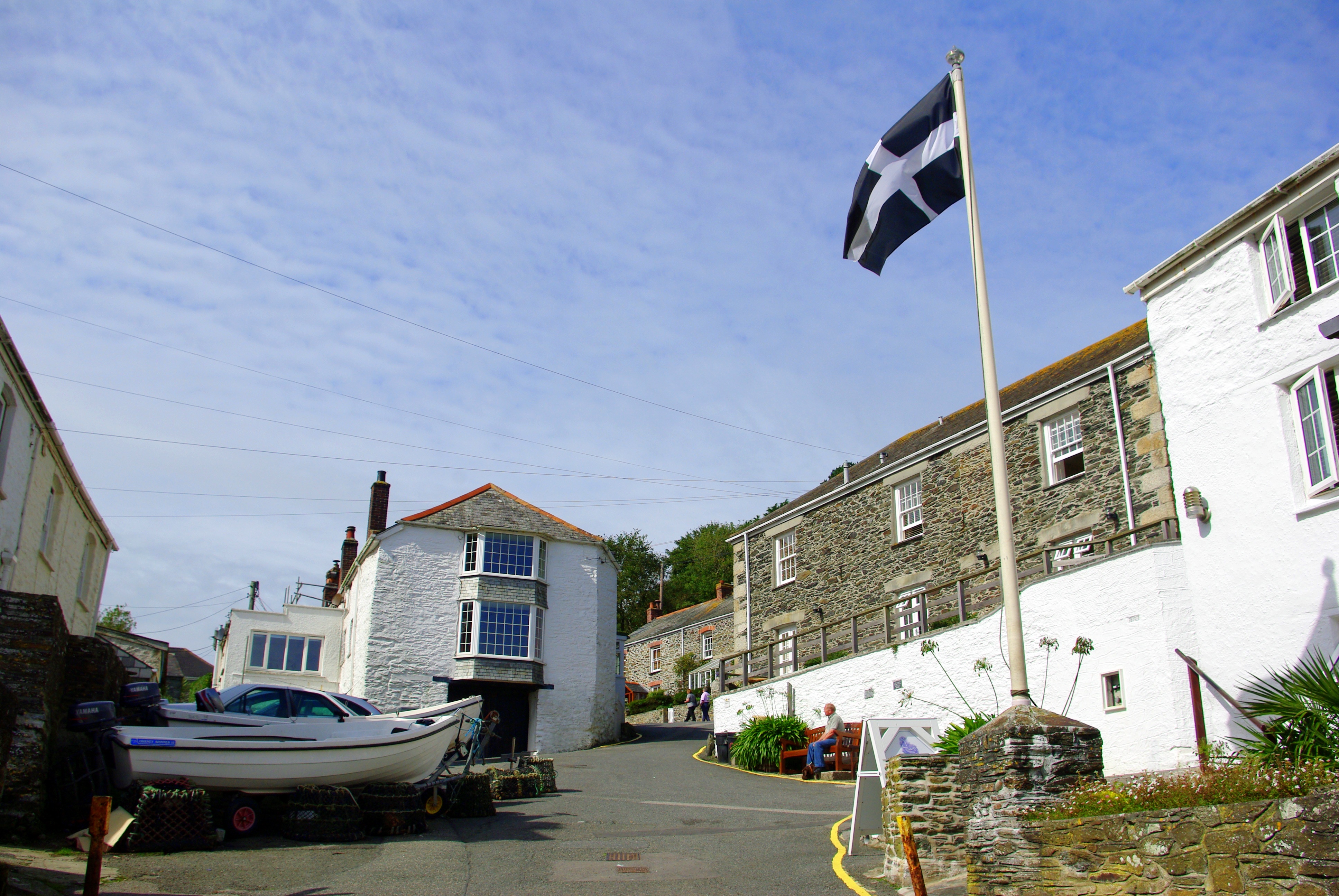
Nare Head Images
Images are sourced within 2km of 50.19645/-4.9211682 or Grid Reference SW9137. Thanks to Geograph Open Source API. All images are credited.


Nare Head is located at Grid Ref: SW9137 (Lat: 50.19645, Lng: -4.9211682)
Unitary Authority: Cornwall
Police Authority: Devon and Cornwall
What 3 Words
///strange.steady.universe. Near Portscatho, Cornwall
Nearby Locations
Related Wikis
Gerrans Bay to Camels Cove
Gerrans Bay to Camels Cove is a coastal Site of Special Scientific Interest (SSSI) in south Cornwall, England, UK, noted for both its biological and geological...

Veryan
Veryan (Cornish: Elerghi) is a coastal civil parish and village on the Roseland Peninsula in Cornwall, England, United Kingdom. The village has been described...

Melinsey
Melinsey is a hamlet south of Ruan High Lanes in Cornwall, England. The name is derived from the Cornish word "melinjy" which means "mill house".Melinsey...

Lower Mill, Cornwall
Lower Mill is a hamlet in the parish of Veryan, Cornwall, England, UK. Lower Mill is approximately 5 miles (8.0 km) south-east of Truro. == References ==
Treworlas
Treworlas is a hamlet west of Veryan, Cornwall, England, United Kingdom, part of the civil parish of Philleigh.Henry Jenner suggested that Treworlas was...
Trewartha, Cornwall
Trewartha is a hamlet in the civil parish of Veryan on the Roseland Peninsula, Cornwall, England, United Kingdom.Trewartha is also the name of places in...
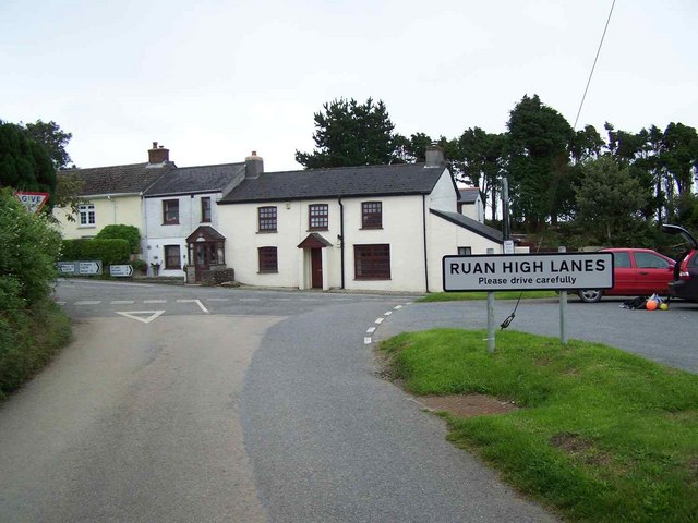
Ruan High Lanes
Ruan High Lanes is a village west of Veryan in south Cornwall, England. The village is on the A3078 main road. == See also == Murder of Lyn Bryant – infamous...
Portloe
Portloe (Cornish: Porthlogh) is a small village in Cornwall, England, on the Roseland Peninsula, in the civil parish of Veryan. Portloe harbours two full...
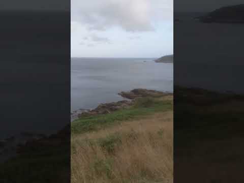
Related Videos

In search of Round Houses, smuggling and the longest grave? Walking from Veryan to Portloe Cornwall.
In our video we start our walk in Veryan on the Roseland Peninsula. This walk is very special to us because it was the first walk we ...


'A golden boat with silver oars' Circular walk from Carne Beach to Nare Head, Roseland Cornwall
In our video today we visit the hidden gem of Carne Beach on the Roseland Peninsula, near Veryan. This beach is a shallow, ...
Nearby Amenities
Located within 500m of 50.19645,-4.9211682Have you been to Nare Head?
Leave your review of Nare Head below (or comments, questions and feedback).