Pen Globa
Coastal Feature, Headland, Point in Pembrokeshire
Wales
Pen Globa
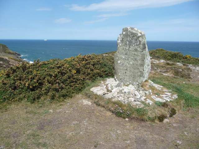
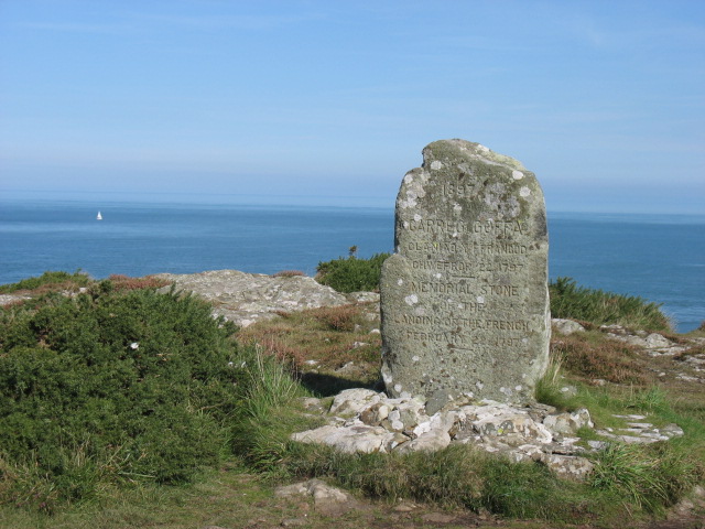
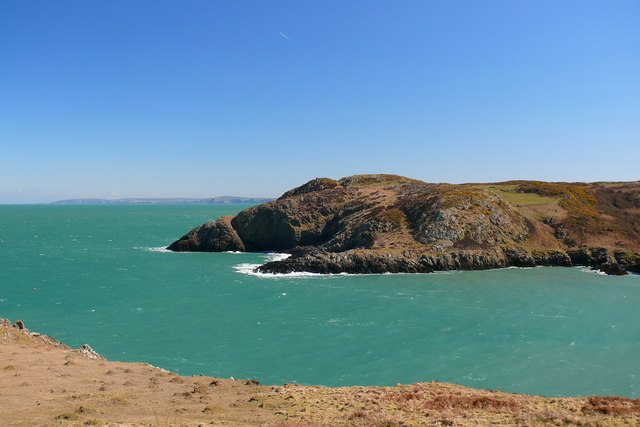
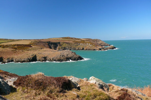
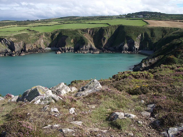
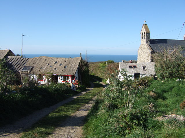
Pen Globa is a prominent coastal feature situated in Pembrokeshire, a county in southwest Wales. This headland, also referred to as a point, is located on the west coast of the county, overlooking the vast expanse of the Atlantic Ocean. With its stunning natural beauty, Pen Globa attracts both locals and tourists alike.
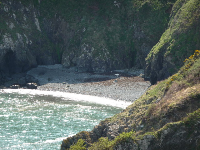
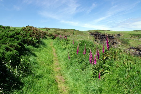
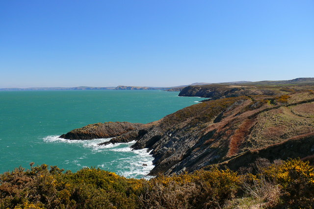
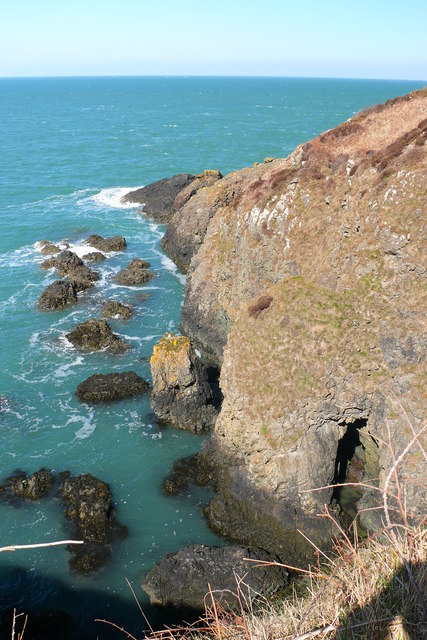
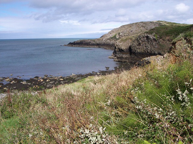
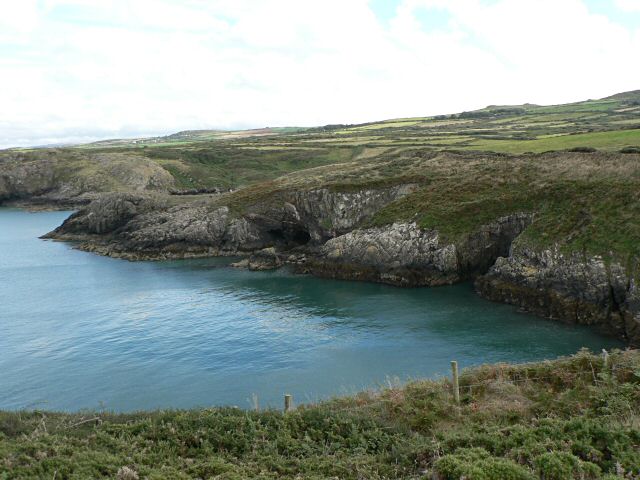
The headland is characterized by its rugged and rocky terrain, which extends out into the sea, forming a distinct peninsula. The jagged cliffs that make up Pen Globa offer breathtaking panoramic views of the surrounding coastline and the ocean beyond. These cliffs are often battered by the strong winds and crashing waves, creating a dramatic and awe-inspiring atmosphere.
The vegetation on Pen Globa is diverse and includes a mixture of grasses, shrubs, and wildflowers, adding a splash of color to the otherwise stark landscape. The headland is also home to numerous seabirds, such as gulls and cormorants, which nest and thrive in the crevices of the cliffs.
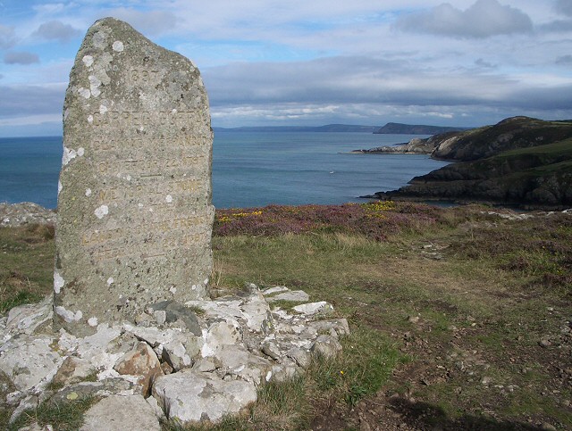
Access to Pen Globa is relatively easy, with a well-maintained footpath leading visitors to the headland. The path meanders through the rolling hills and fields, providing an opportunity to appreciate the picturesque countryside before reaching the rugged coastline. Once on the headland, visitors can explore the various viewpoints and soak in the natural beauty that Pen Globa has to offer.
Overall, Pen Globa is a captivating coastal feature in Pembrokeshire, known for its stunning cliffs, diverse vegetation, and breathtaking views. It is a must-visit destination for nature enthusiasts and those seeking an escape to the rugged beauty of the Welsh coastline.
If you have any feedback on the listing, please let us know in the comments section below.
Pen Globa Images
Images are sourced within 2km of 52.027041/-5.0396141 or Grid Reference SM9140. Thanks to Geograph Open Source API. All images are credited.

![Pillow lavas near Strumble Head [Fishguard] This illustrates that at one time there was volcanic activity.](https://s1.geograph.org.uk/photos/00/48/004881_2ae04d08.jpg)
Pen Globa is located at Grid Ref: SM9140 (Lat: 52.027041, Lng: -5.0396141)
Unitary Authority: Pembrokeshire
Police Authority: Dyfed Powys
What 3 Words
///cornfield.partly.yards. Near Goodwick, Pembrokeshire
Nearby Locations
Related Wikis
Pencaer
Pencaer is a community which covers an area of dispersed settlement in Pembrokeshire, Wales, on the peninsula of Pen Caer and comprises the village of...
Llanwnda, Pembrokeshire
Llanwnda is a rural village and parish to the north of the Welsh county of Pembrokeshire and part of the community of Pencaer. It lies some two miles northwest...
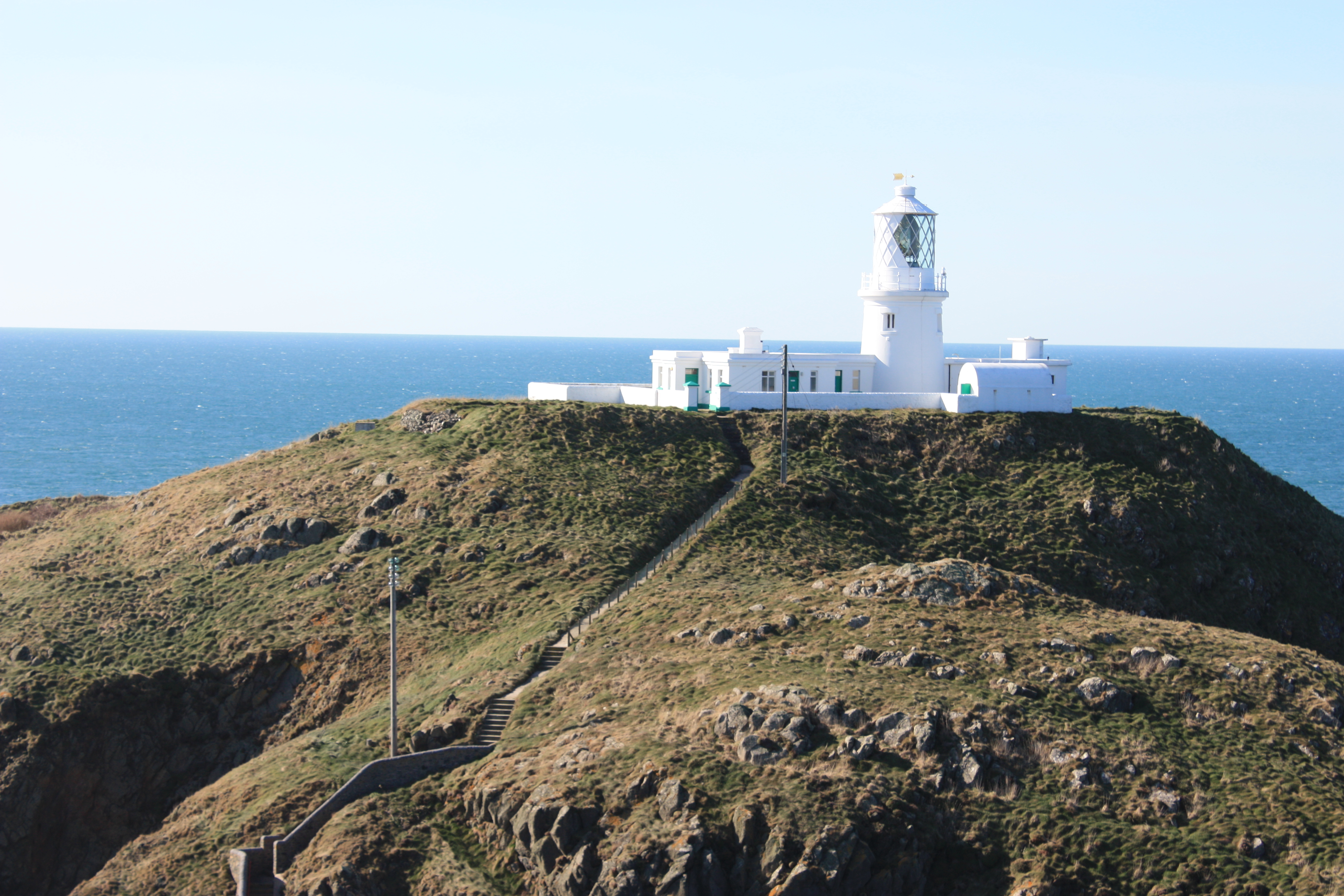
Strumble Head Lighthouse
Strumble Head Lighthouse stands on Ynys Meicel (from Welsh: St. Michael's Island), also known as Strumble Head, a rocky island at the northwest corner...

Strumble Head
Strumble Head (Welsh: Pen Caer,Trwyn-câr, Pen Strwmbl) is a rocky headland in the community of Pencaer in Pembrokeshire, Wales, within the Pembrokeshire...

Strumble Head - Llechdafad Cliffs
Strumble Head - Llechdafad Cliffs is a Site of Special Scientific Interest (SSSI) in Pembrokeshire, South Wales. It has been designated as a SSSI since...

Trefasser
Trefasser (variations: Tref-Asser, or Trêf Asser, or Asserton; translation: "town" of "Asser") is a hamlet, located to the west of Fishguard in western...
Calburga
Calburga was a Canadian barque, the last Canadian-built square-rigger of large tonnage. She was built in 1890 at South Maitland, Nova Scotia by local shipbuilder...

Fishguard Harbour railway station
Fishguard Harbour railway station serves the port of Fishguard Harbour, Wales. It is the terminus of one of the branches of the West Wales Line from Swansea...
Nearby Amenities
Located within 500m of 52.027041,-5.0396141Have you been to Pen Globa?
Leave your review of Pen Globa below (or comments, questions and feedback).