Aber Clawdd Pridd
Bay in Pembrokeshire
Wales
Aber Clawdd Pridd
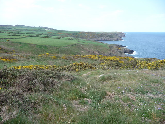
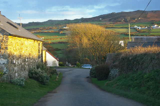
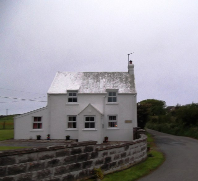
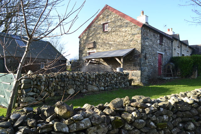
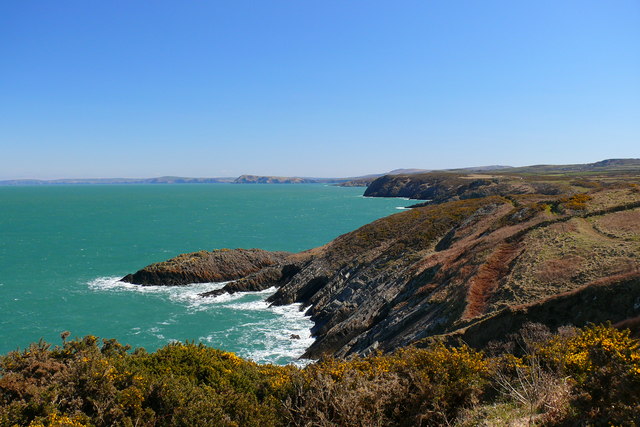
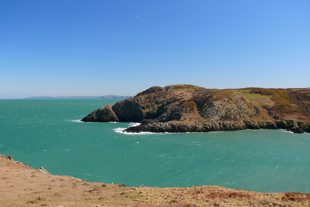
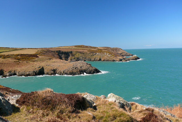
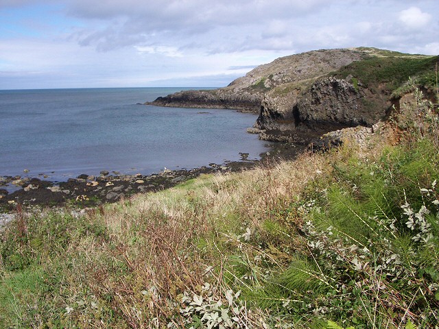
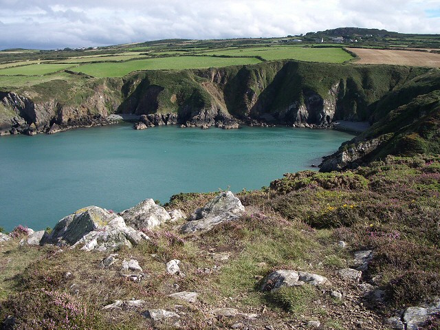
Aber Clawdd Pridd, located in Pembrokeshire, Wales, is a picturesque bay surrounded by stunning natural beauty. With its rugged cliffs, sandy beaches, and crystal-clear waters, it has become a popular destination for both locals and tourists alike.
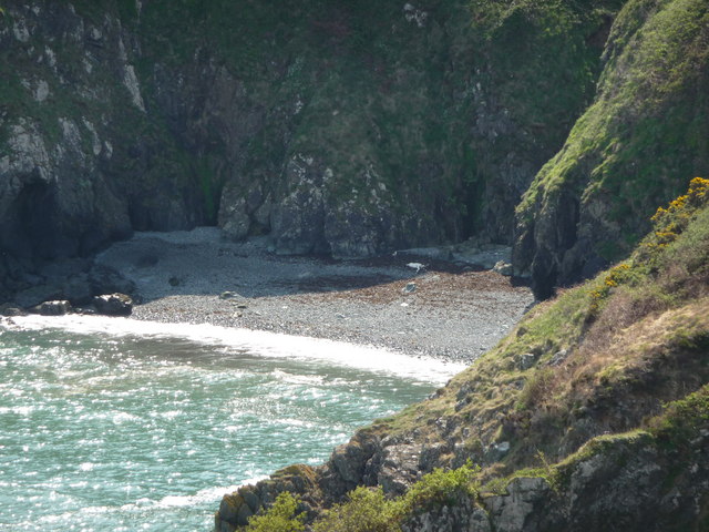
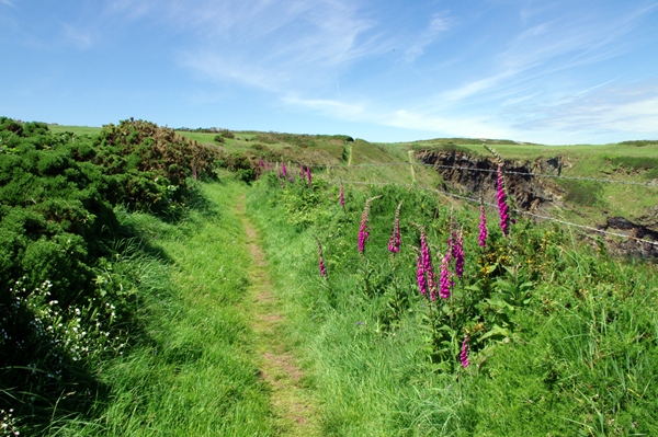
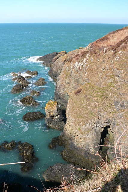
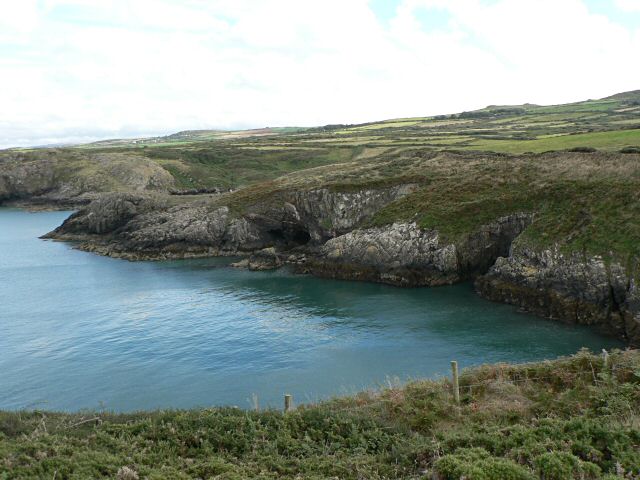
Situated on the west coast of Wales, Aber Clawdd Pridd offers breathtaking views of the Irish Sea. The bay is known for its impressive rock formations, which have been carved over centuries by the relentless waves. These cliffs provide a nesting ground for a variety of seabirds, making it a haven for birdwatchers and nature enthusiasts.
The bay itself boasts a sandy beach that stretches for miles, providing ample space for sunbathing, picnicking, and leisurely walks. The shallow waters make it a safe spot for swimming and paddling, particularly during the summer months when the bay attracts families and water sports enthusiasts.
Aber Clawdd Pridd is also home to a diverse marine ecosystem, making it a popular spot for snorkeling and diving. The clear waters allow for excellent visibility, allowing divers to explore the vibrant underwater world that thrives beneath the surface.
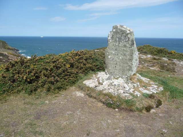
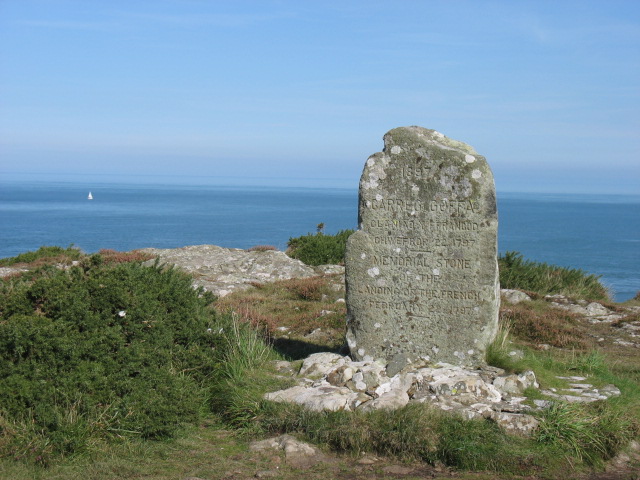
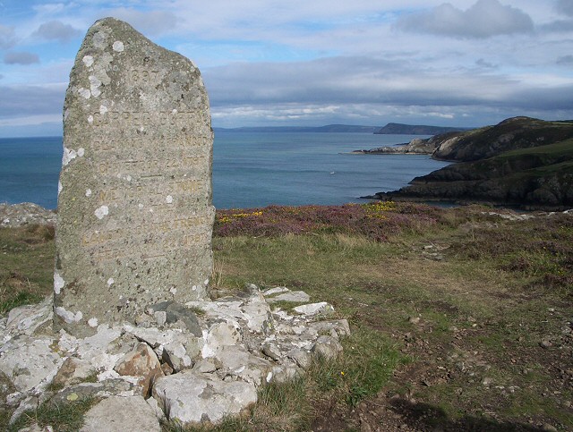
For those who prefer to stay on land, the bay offers opportunities for coastal walks and hikes, with breathtaking views of the surrounding cliffs and sea. The area is rich in flora and fauna, with wildflowers dotting the landscape during the summer months.
Overall, Aber Clawdd Pridd, Pembrokeshire is a true gem of natural beauty, offering a tranquil escape from the hustle and bustle of everyday life.
If you have any feedback on the listing, please let us know in the comments section below.
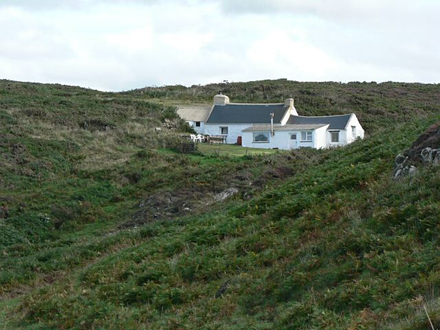
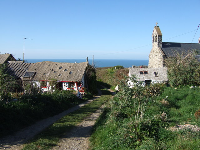
Aber Clawdd Pridd Images
Images are sourced within 2km of 52.026221/-5.0351263 or Grid Reference SM9140. Thanks to Geograph Open Source API. All images are credited.

Aber Clawdd Pridd is located at Grid Ref: SM9140 (Lat: 52.026221, Lng: -5.0351263)
Unitary Authority: Pembrokeshire
Police Authority: Dyfed Powys
What 3 Words
///bungalows.glares.clubs. Near Goodwick, Pembrokeshire
Nearby Locations
Related Wikis
Pencaer
Pencaer is a community which covers an area of dispersed settlement in Pembrokeshire, Wales, on the peninsula of Pen Caer and comprises the village of...
Llanwnda, Pembrokeshire
Llanwnda is a rural village and parish to the north of the Welsh county of Pembrokeshire and part of the community of Pencaer. It lies some two miles northwest...
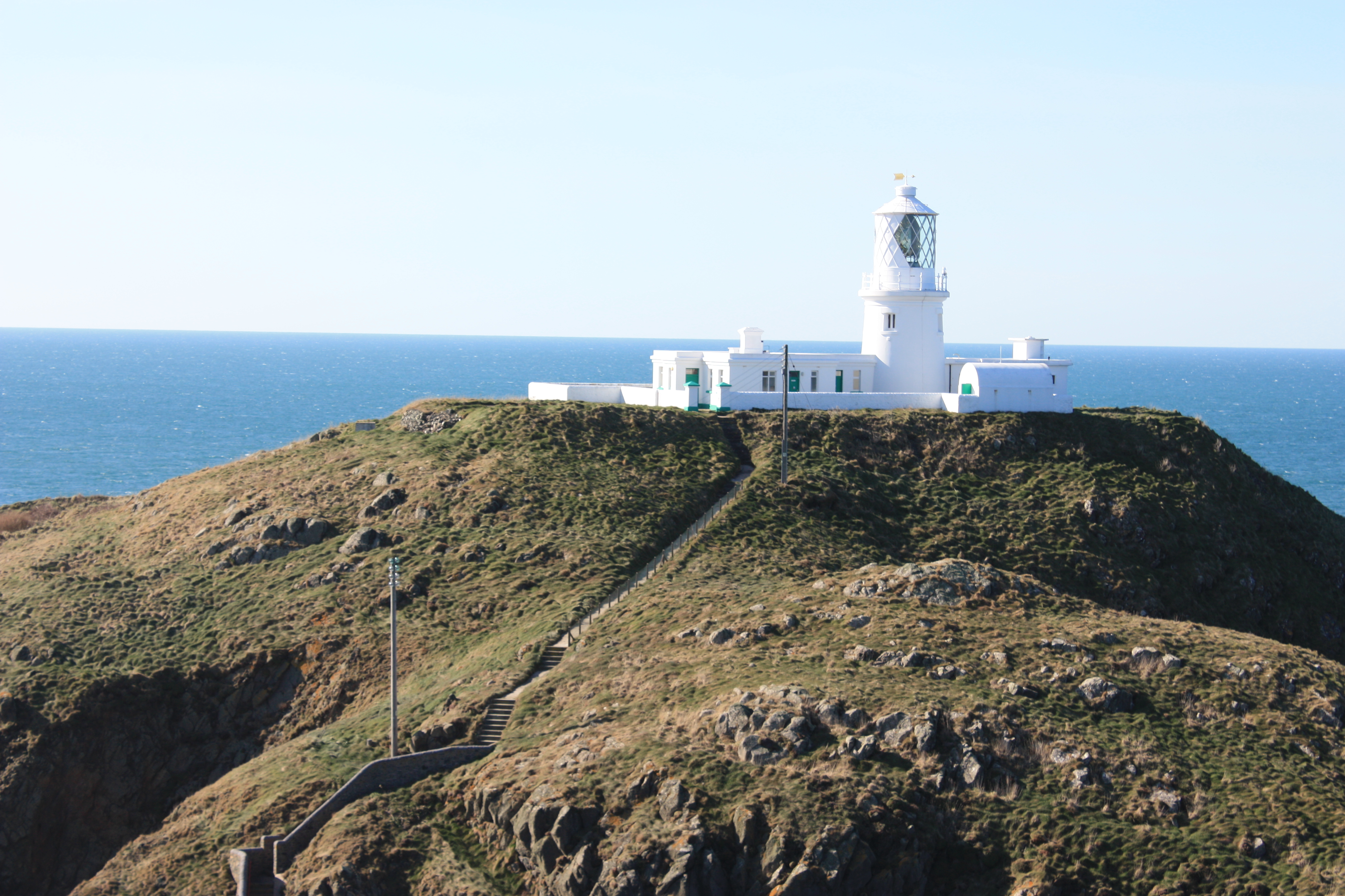
Strumble Head Lighthouse
Strumble Head Lighthouse stands on Ynys Meicel (from Welsh: St. Michael's Island), also known as Strumble Head, a rocky island at the northwest corner...

Strumble Head
Strumble Head (Welsh: Pen Caer,Trwyn-câr, Pen Strwmbl) is a rocky headland in the community of Pencaer in Pembrokeshire, Wales, within the Pembrokeshire...

Strumble Head - Llechdafad Cliffs
Strumble Head - Llechdafad Cliffs is a Site of Special Scientific Interest (SSSI) in Pembrokeshire, South Wales. It has been designated as a SSSI since...

Fishguard Harbour railway station
Fishguard Harbour railway station serves the port of Fishguard Harbour, Wales. It is the terminus of one of the branches of the West Wales Line from Swansea...

Fishguard Lifeboat Station
Fishguard Lifeboat Station (based in Goodwick, Pembrokeshire, Wales) is a Royal National Lifeboat Institution (RNLI) station. Located on the quay between...

Fishguard and Goodwick railway station
Fishguard and Goodwick railway station is a railway station sited 1 mile from Fishguard in the neighbouring town of Goodwick, Pembrokeshire, Wales. It...
Nearby Amenities
Located within 500m of 52.026221,-5.0351263Have you been to Aber Clawdd Pridd?
Leave your review of Aber Clawdd Pridd below (or comments, questions and feedback).