Y Globa Fawr
Island in Pembrokeshire
Wales
Y Globa Fawr
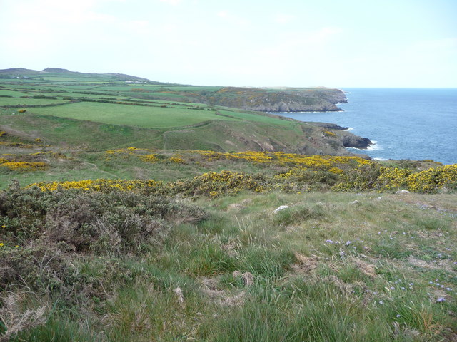
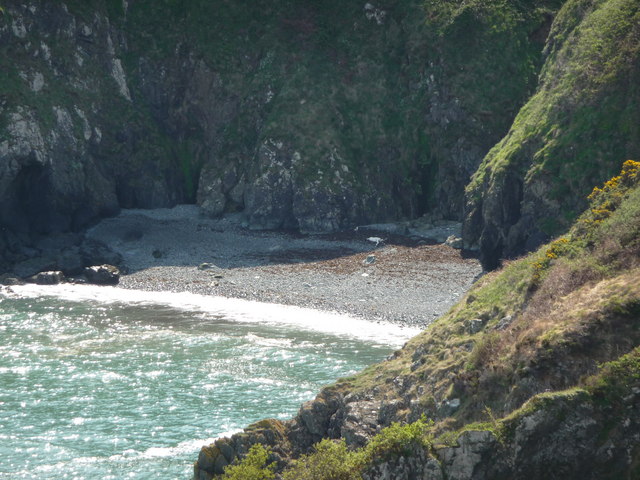
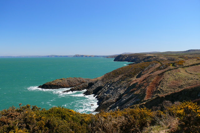
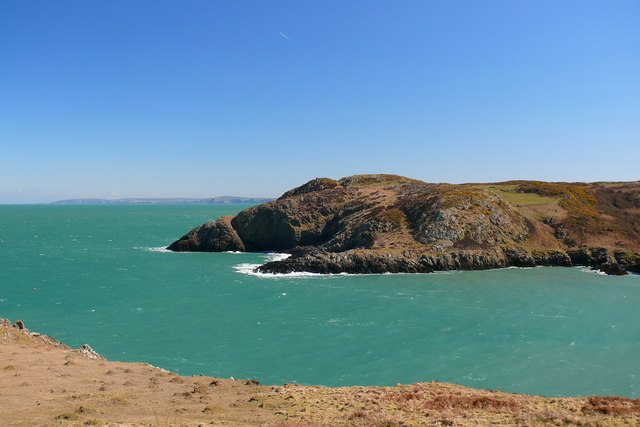
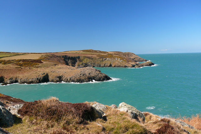
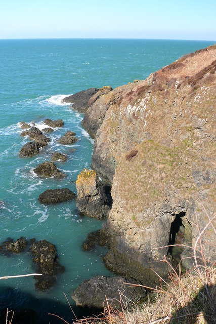
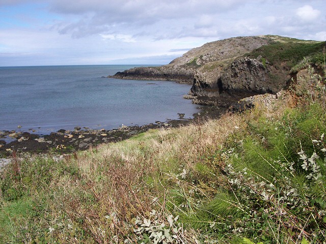
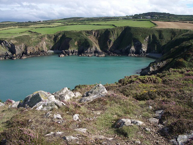
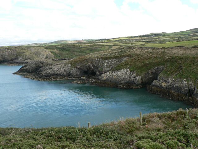
Ynys y Globa Fawr, located off the coast of Pembrokeshire, Wales, is a small island with a rich history and stunning natural beauty. Also known as Seal Island, it is situated in the Irish Sea, approximately 2 miles off the mainland. The island spans an area of about 5 acres, with its highest point reaching around 82 feet above sea level.
Y Globa Fawr is famous for its thriving seal population, making it a popular spot for wildlife enthusiasts. Seals can be observed basking on the exposed rocks, or swimming gracefully in the surrounding waters. The island is also home to various bird species, including guillemots, razorbills, and cormorants, making it a birdwatcher's paradise.
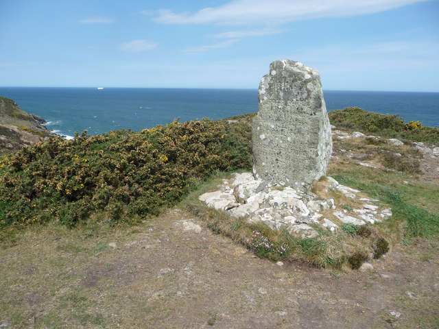
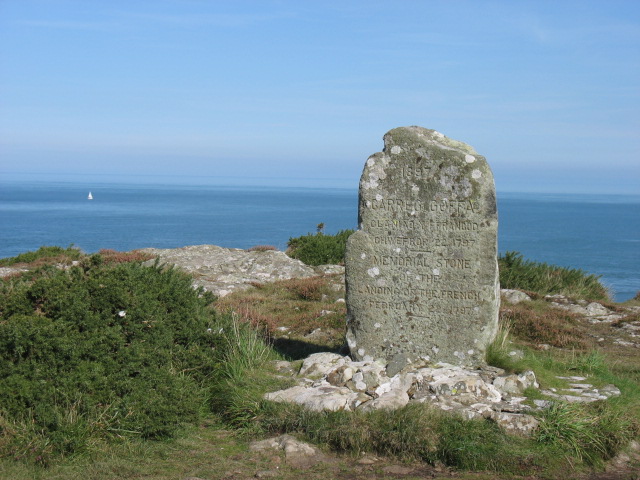
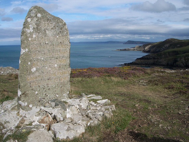
The island's history can be traced back to ancient times, with evidence of prehistoric settlements discovered in the area. In the 6th century, Y Globa Fawr was home to a small monastic community, and the ruins of a medieval chapel still remain on the island today. These ruins serve as a reminder of the island's spiritual past.
Access to Y Globa Fawr is mainly by boat, with visitors often taking guided tours to explore the island's rugged coastline and observe the wildlife. The island offers breathtaking views of the surrounding Pembrokeshire coastline, with its dramatic cliffs and pristine beaches.
Y Globa Fawr is an idyllic destination for those seeking tranquility and natural beauty. With its diverse wildlife, fascinating history, and stunning landscapes, it truly is a hidden gem off the coast of Pembrokeshire.
If you have any feedback on the listing, please let us know in the comments section below.
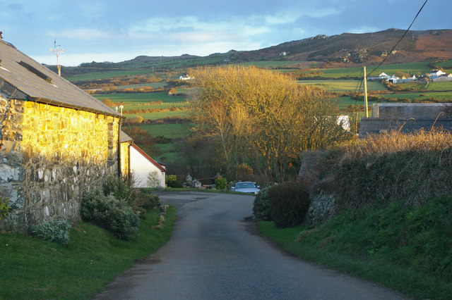
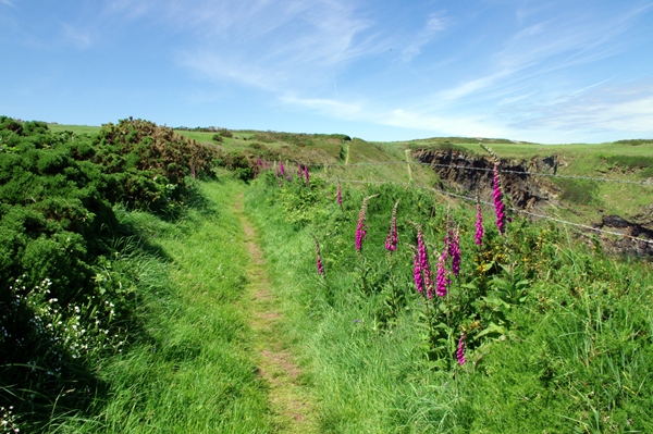
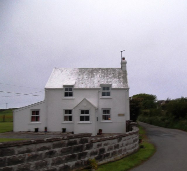
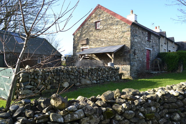
Y Globa Fawr Images
Images are sourced within 2km of 52.027458/-5.0380969 or Grid Reference SM9140. Thanks to Geograph Open Source API. All images are credited.

Y Globa Fawr is located at Grid Ref: SM9140 (Lat: 52.027458, Lng: -5.0380969)
Unitary Authority: Pembrokeshire
Police Authority: Dyfed Powys
What 3 Words
///limitless.backyards.edits. Near Goodwick, Pembrokeshire
Nearby Locations
Related Wikis
Pencaer
Pencaer is a community which covers an area of dispersed settlement in Pembrokeshire, Wales, on the peninsula of Pen Caer and comprises the village of...
Llanwnda, Pembrokeshire
Llanwnda is a rural village and parish to the north of the Welsh county of Pembrokeshire and part of the community of Pencaer. It lies some two miles northwest...
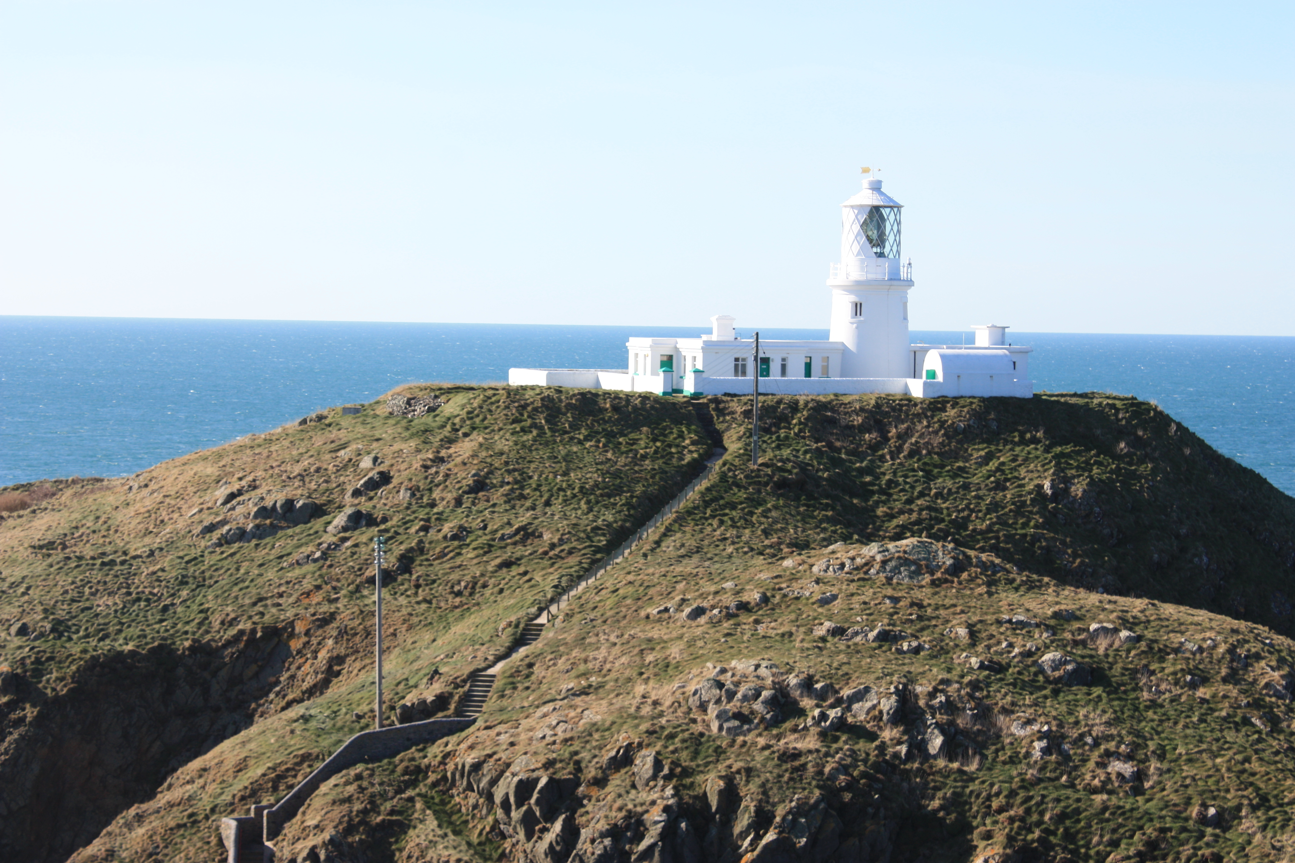
Strumble Head Lighthouse
Strumble Head Lighthouse stands on Ynys Meicel (from Welsh: St. Michael's Island), also known as Strumble Head, a rocky island at the northwest corner...

Strumble Head
Strumble Head (Welsh: Pen Caer,Trwyn-câr, Pen Strwmbl) is a rocky headland in the community of Pencaer in Pembrokeshire, Wales, within the Pembrokeshire...
Nearby Amenities
Located within 500m of 52.027458,-5.0380969Have you been to Y Globa Fawr?
Leave your review of Y Globa Fawr below (or comments, questions and feedback).