Dunstanburgh Castle
Heritage Site in Northumberland
England
Dunstanburgh Castle
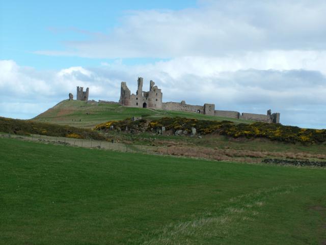
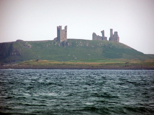
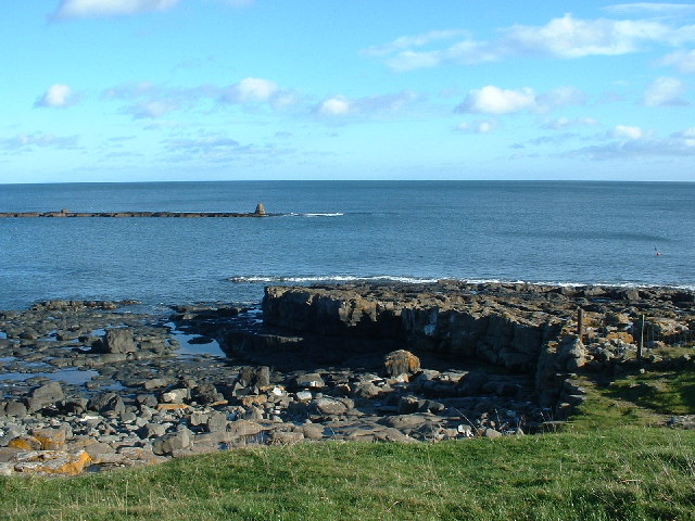
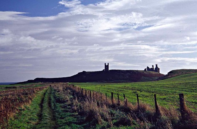
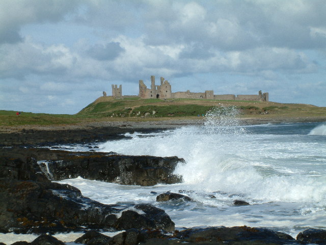
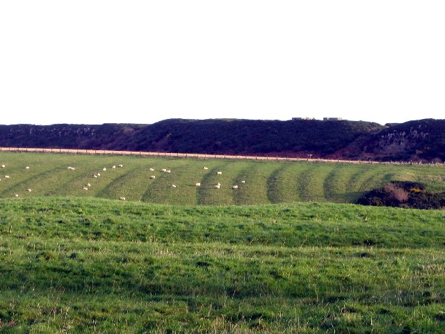
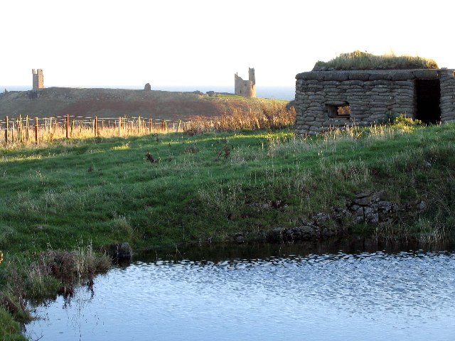
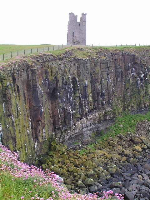
Dunstanburgh Castle is a medieval fortress located on the rugged coast of Northumberland in northern England. Situated between the towns of Craster and Embleton, the castle is perched on a dramatic cliff-top overlooking the North Sea. It is considered one of the most iconic heritage sites in the region.
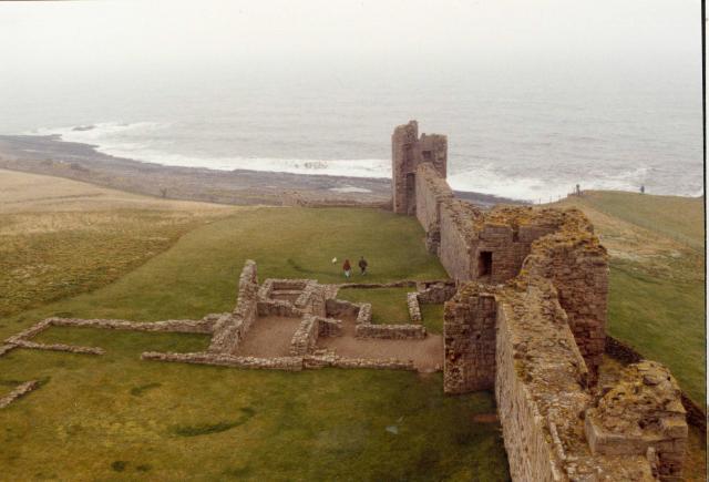
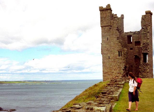
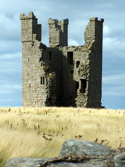
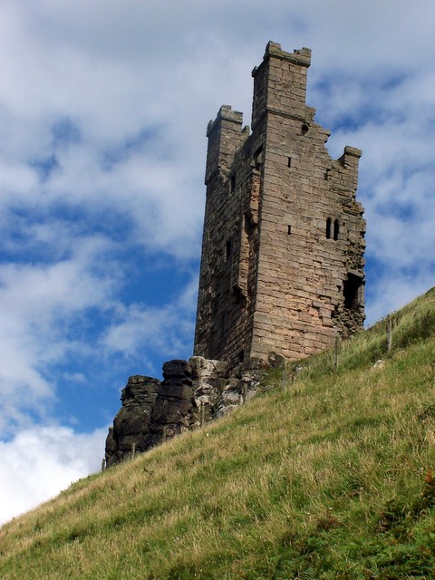
Built in the 14th century by Thomas, Earl of Lancaster, the castle was initially intended as a symbol of his power and authority. The fortress consists of a formidable curtain wall, punctuated by six impressive towers, including the imposing Lilburn Tower and the gatehouse.
Dunstanburgh Castle played a significant role in various historical events. During the Wars of the Roses, it served as a Lancastrian stronghold until it was captured by Yorkist forces in 1462. The castle's strategic location made it a target during conflicts between England and Scotland, leading to several sieges and battles.
Today, Dunstanburgh Castle is managed by English Heritage and is open to the public. Visitors can explore the ruins, which offer breathtaking views of the surrounding coastline and countryside. The remnants of the inner and outer baileys, along with the remains of the great hall, chapel, and kitchen, provide insight into the castle's past splendor.
The castle is also known for its association with romantic legends and folklore, including tales of ghostly apparitions and hidden treasures. It has inspired numerous artists, writers, and poets throughout history, capturing the imagination of visitors and locals alike.
Dunstanburgh Castle stands as a testament to Northumberland's rich medieval heritage and continues to attract tourists from around the world who are drawn to its historical significance and stunning setting.
If you have any feedback on the listing, please let us know in the comments section below.
Dunstanburgh Castle Images
Images are sourced within 2km of 55.487/-1.597 or Grid Reference NU2521. Thanks to Geograph Open Source API. All images are credited.


Dunstanburgh Castle is located at Grid Ref: NU2521 (Lat: 55.487, Lng: -1.597)
Unitary Authority: Northumberland
Police Authority: Northumbria
What 3 Words
///reminds.prance.breakaway. Near Embleton, Northumberland
Nearby Locations
Related Wikis

Dunstanburgh Castle
Dunstanburgh Castle is a 14th-century fortification on the coast of Northumberland in northern England, between the villages of Craster and Embleton. The...
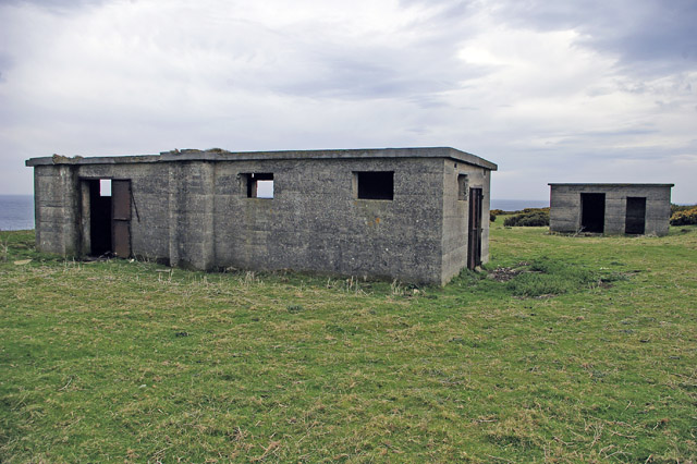
Craster radar station
Craster radar station (also known as RAF Craster), was a Chain Home Low (later a Chain Home Extra Low) Second World War radar site at Craster in Northumberland...
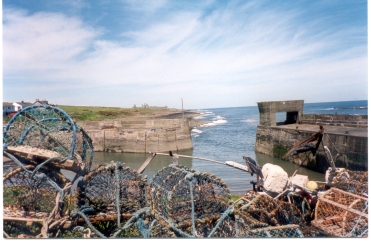
Craster
Craster is a small fishing village on the Northumberland coast of England, eight miles (13 km) from Alnwick. The next village to the north is Embleton...

Craster Tower
Craster Tower is an 18th-century Georgian mansion incorporating a 14th-century pele tower situated near the fishing village of Craster, Northumberland...
Nearby Amenities
Located within 500m of 55.487,-1.597Have you been to Dunstanburgh Castle?
Leave your review of Dunstanburgh Castle below (or comments, questions and feedback).