Cushat Stiel
Coastal Feature, Headland, Point in Northumberland
England
Cushat Stiel
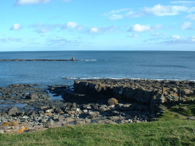
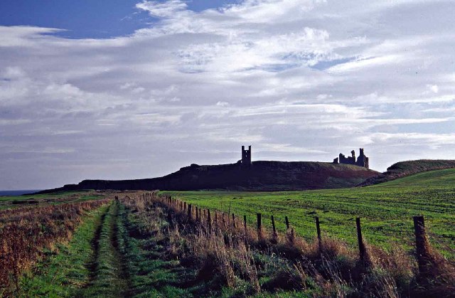
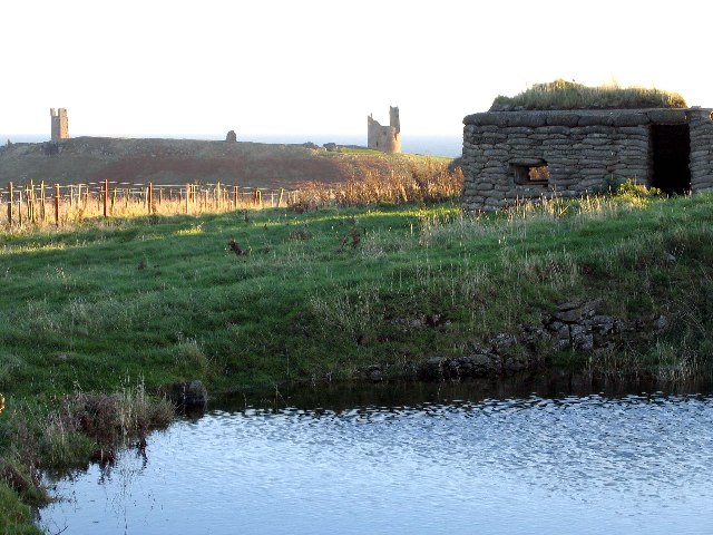
Cushat Stiel is a coastal headland located in Northumberland, England. Situated along the rugged and picturesque Northumberland coastline, this prominent feature offers stunning views of the surrounding landscape and the North Sea. The headland is positioned between the villages of Bamburgh to the south and Seahouses to the north.
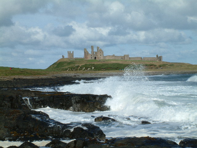
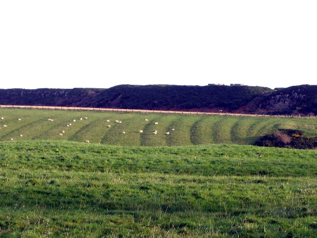
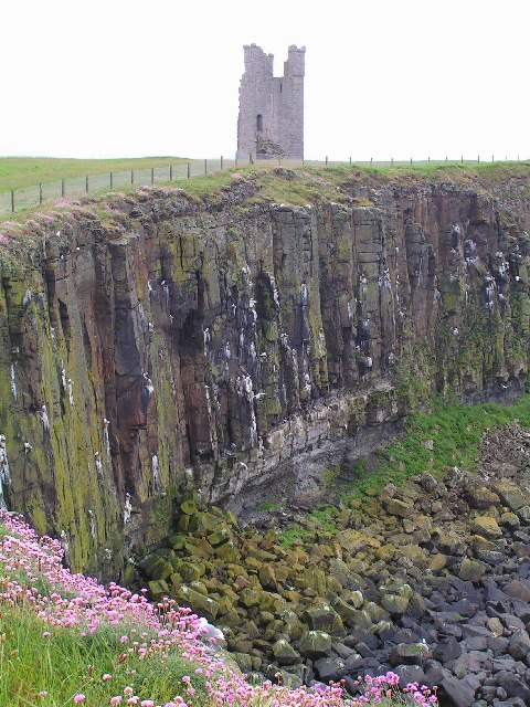
Cushat Stiel is characterized by its rocky terrain, which is typical of the Northumberland coastline. The headland extends out into the sea, forming a point that creates a natural boundary between the nearby beaches and the open waters beyond. The rocky cliffs that line the headland provide a dramatic backdrop and add to the area's natural beauty.
The name "Cushat Stiel" is derived from the local dialect and refers to a wood pigeon's perch. This name is fitting, as the headland serves as a popular resting spot for various bird species, including seabirds like gulls and fulmars. Birdwatchers can often spot these avian residents perched on the cliffs or gliding through the air.
Visitors to Cushat Stiel can enjoy a variety of activities, such as hiking along the coastal paths that traverse the headland. These paths offer breathtaking views of the coastline and provide opportunities to explore the diverse flora and fauna that inhabit the area. Additionally, the headland is a favored spot for photographers, who can capture the stunning landscapes and wildlife found in this region.
Overall, Cushat Stiel is a captivating coastal feature, known for its rocky cliffs, breathtaking views, and plentiful birdlife. It is a must-visit destination for nature enthusiasts and those seeking to immerse themselves in the beauty of the Northumberland coastline.
If you have any feedback on the listing, please let us know in the comments section below.
Cushat Stiel Images
Images are sourced within 2km of 55.485058/-1.5909607 or Grid Reference NU2521. Thanks to Geograph Open Source API. All images are credited.


Cushat Stiel is located at Grid Ref: NU2521 (Lat: 55.485058, Lng: -1.5909607)
Unitary Authority: Northumberland
Police Authority: Northumbria
What 3 Words
///passage.spurted.circle. Near Embleton, Northumberland
Nearby Locations
Related Wikis

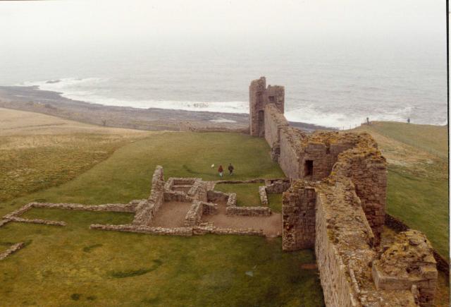
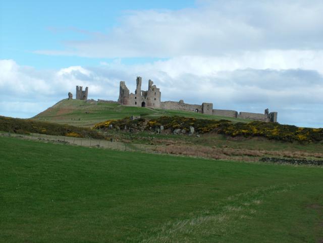
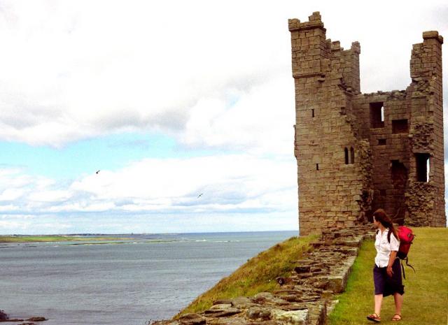
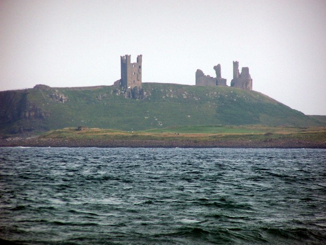
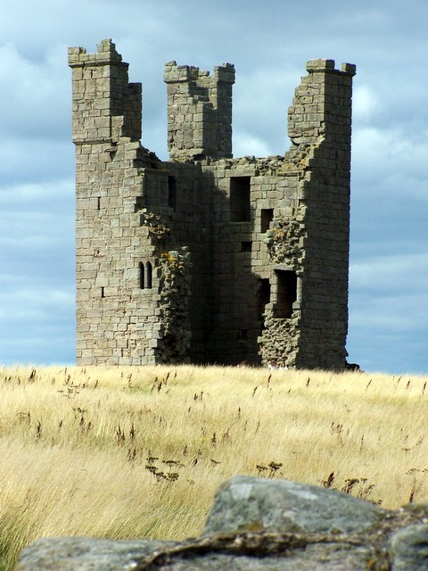
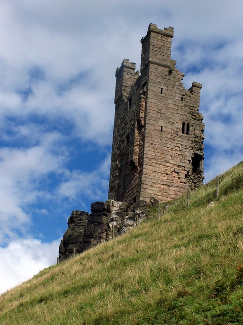
Dunstanburgh Castle
Dunstanburgh Castle is a 14th-century fortification on the coast of Northumberland in northern England, between the villages of Craster and Embleton. The...
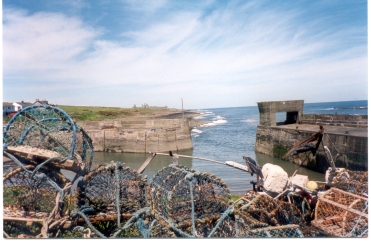
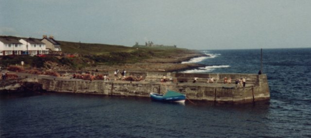
Craster
Craster is a small fishing village on the Northumberland coast of England, eight miles (13 km) from Alnwick. The next village to the north is Embleton...

Craster Tower
Craster Tower is an 18th-century Georgian mansion incorporating a 14th-century pele tower situated near the fishing village of Craster, Northumberland...
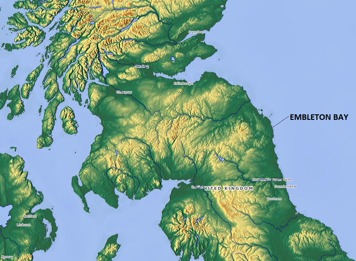
Embleton Bay
Embleton Bay is a bay on the North Sea, located to the east of the village of Embleton, Northumberland, England. It lies just to the south of Newton-by...

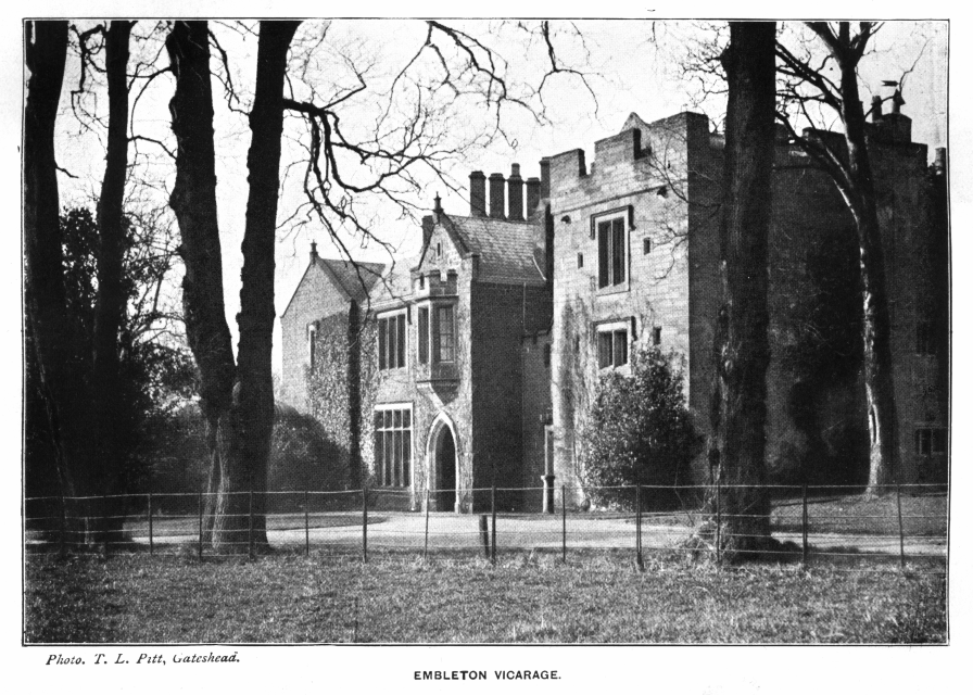
Embleton, Northumberland
Embleton is a village and civil parish in the English county of Northumberland. Besides the village of Embleton itself, the civil parish includes the settlement...
Church of the Holy Trinity, Embleton
The Church of the Holy Trinity is located in Embleton, Northumberland, England. The church, dedicated to the Holy Trinity, is west of the village. Built...
Embleton Tower
Embleton Tower is a peel tower and Grade I listed building in the village of Embleton in Northumberland, England. Tradition states that in 1395, the tower...
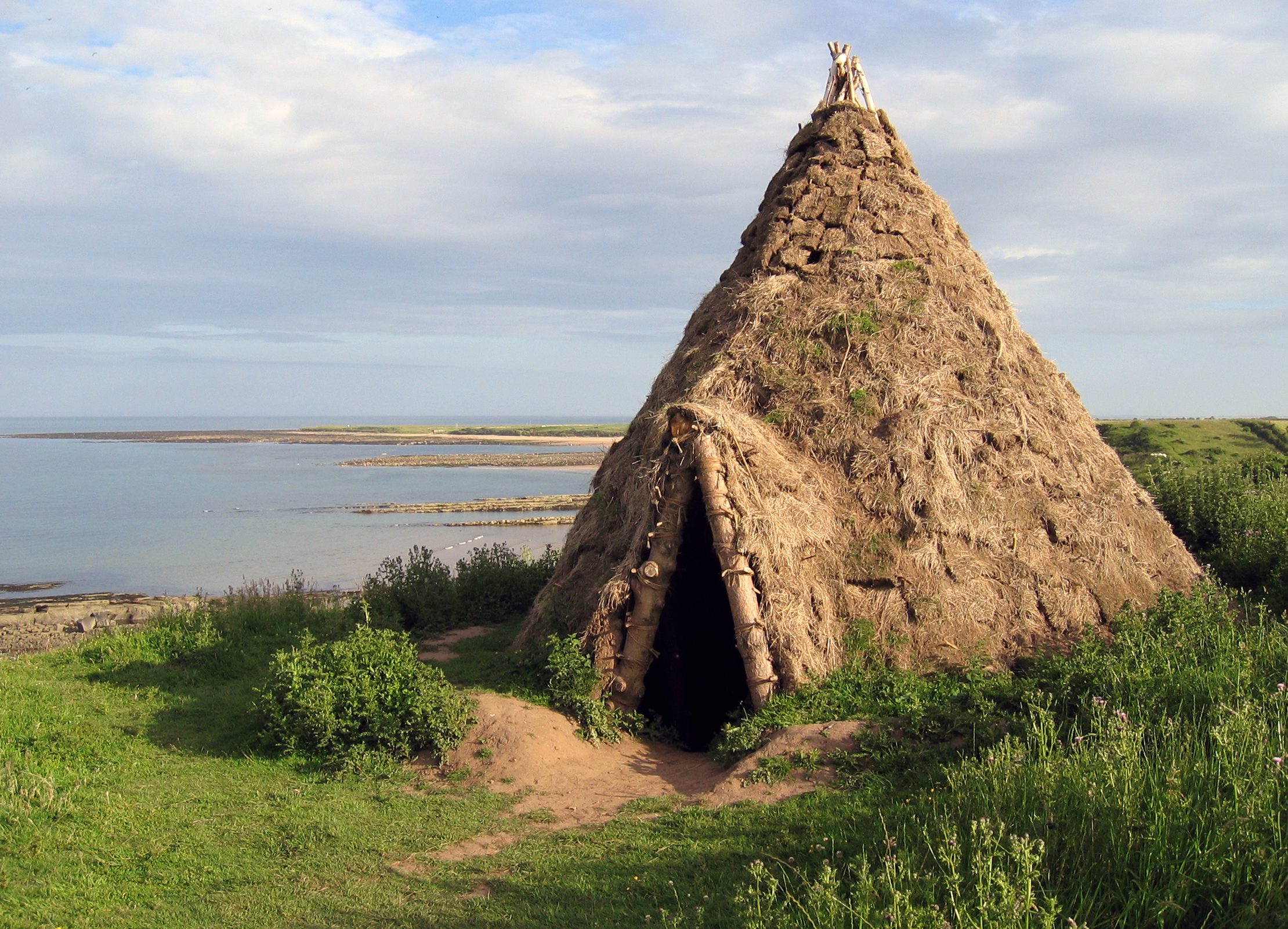
Howick house
The Howick house is a Mesolithic site located in Northumberland, England. It was found when an amateur archaeologist noticed flint tools eroding out of...
Nearby Amenities
Located within 500m of 55.485058,-1.5909607Have you been to Cushat Stiel?
Leave your review of Cushat Stiel below (or comments, questions and feedback).