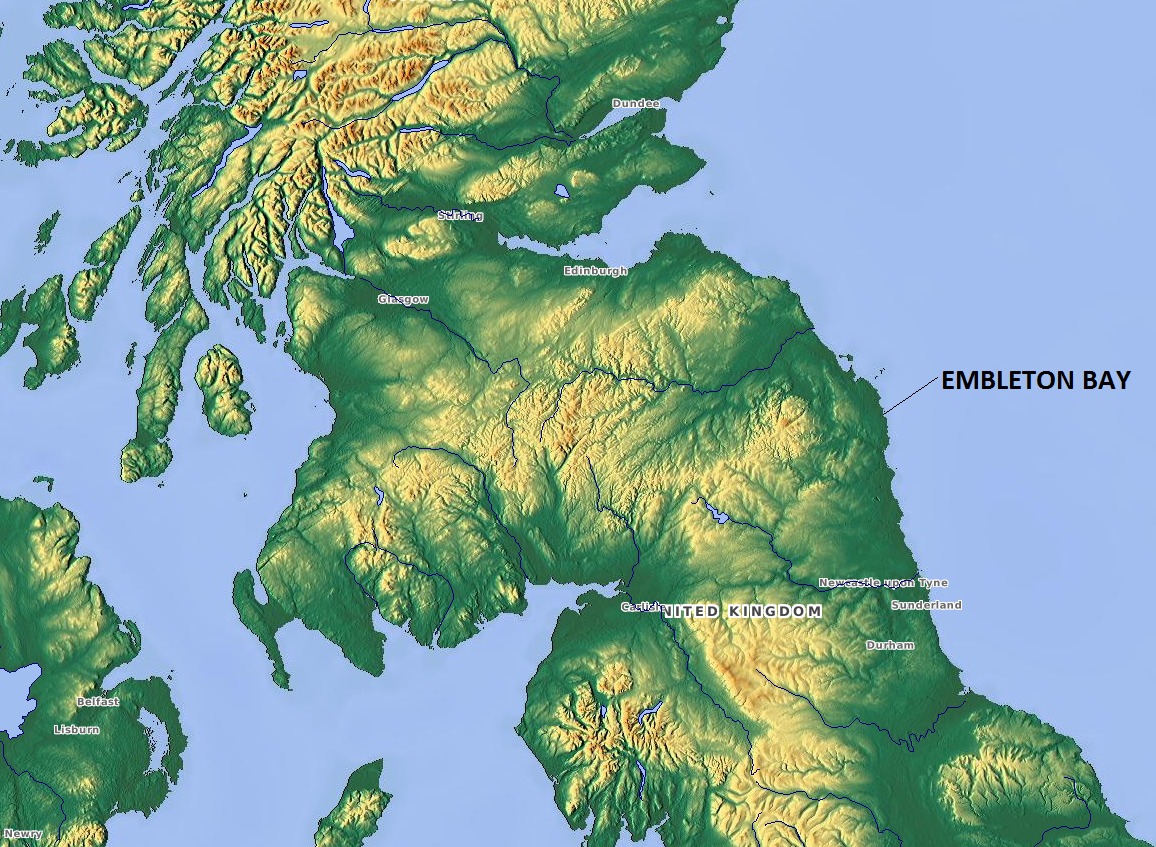
Gull Crag
Cliff, Slope in Northumberland
England
Gull Crag
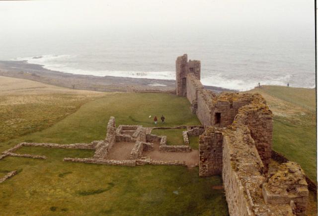
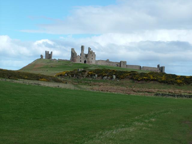
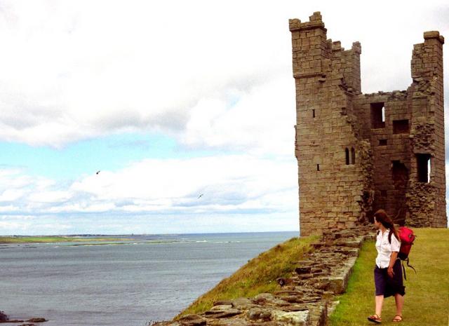
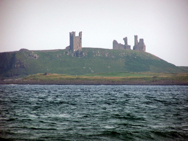
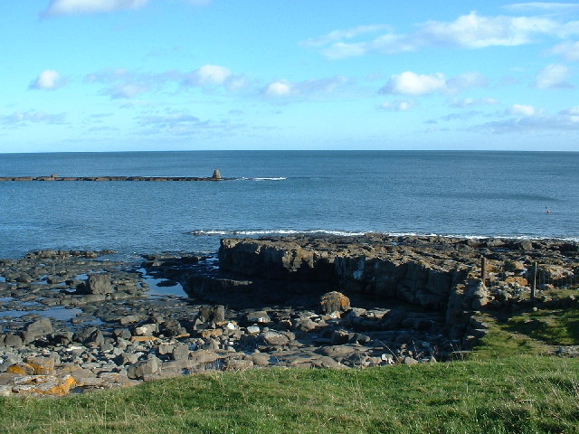
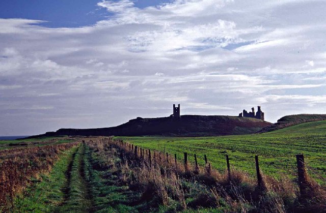
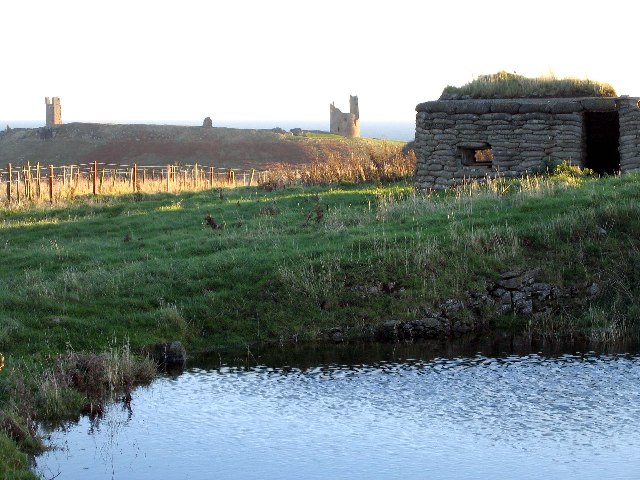
Gull Crag is a prominent cliff and slope located in Northumberland, England. It is situated within the picturesque county of Northumberland, renowned for its stunning natural landscapes and historical landmarks. Gull Crag stands tall and imposing, overlooking the North Sea and offering breathtaking views of the surrounding area.
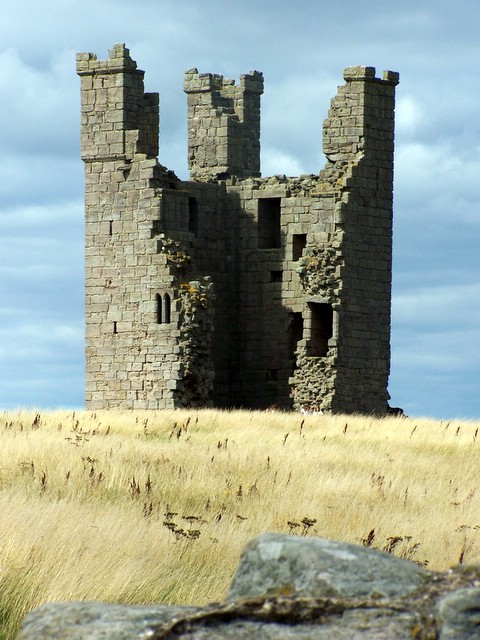
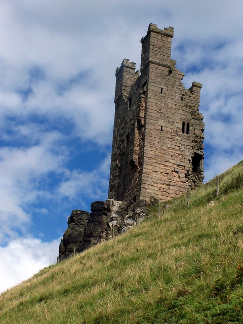
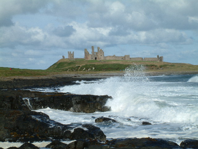
The cliff face of Gull Crag is characterized by its rugged and jagged appearance, formed over centuries by the erosion caused by the powerful waves of the North Sea. The sheer height of the cliff, combined with its steep gradient, makes it a popular destination for adventurous hikers and climbers. However, caution is advised when exploring this area due to the potential hazards posed by the unstable terrain and unpredictable weather conditions.
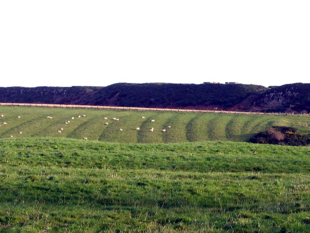
The slope of Gull Crag provides a gentler descent down towards the shoreline, covered in lush vegetation that thrives in the coastal climate. Visitors can enjoy leisurely walks along the slope, taking in the stunning views of the sea and the surrounding coastal landscape. The rich diversity of flora and fauna found in this area adds to the natural beauty and appeal of Gull Crag.
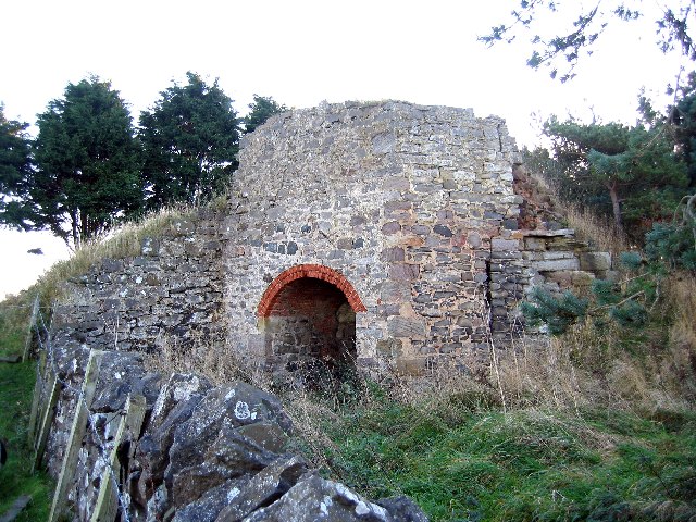
In addition to its natural features, Gull Crag is also known for its historical significance. It is believed to have been a strategic vantage point during ancient times, with remnants of ancient settlements discovered nearby. This adds an element of historical intrigue and a sense of connection to the past for those who visit Gull Crag.
Overall, Gull Crag offers a unique and awe-inspiring experience for nature enthusiasts, history buffs, and adventure seekers alike. Its striking geological features, captivating views, and historical significance make it a must-visit destination in Northumberland.
If you have any feedback on the listing, please let us know in the comments section below.
Gull Crag Images
Images are sourced within 2km of 55.491117/-1.5946804 or Grid Reference NU2521. Thanks to Geograph Open Source API. All images are credited.


Gull Crag is located at Grid Ref: NU2521 (Lat: 55.491117, Lng: -1.5946804)
Unitary Authority: Northumberland
Police Authority: Northumbria
What 3 Words
///extremes.kilowatt.organ. Near Embleton, Northumberland
Nearby Locations
Related Wikis

Dunstanburgh Castle
Dunstanburgh Castle is a 14th-century fortification on the coast of Northumberland in northern England, between the villages of Craster and Embleton. The...
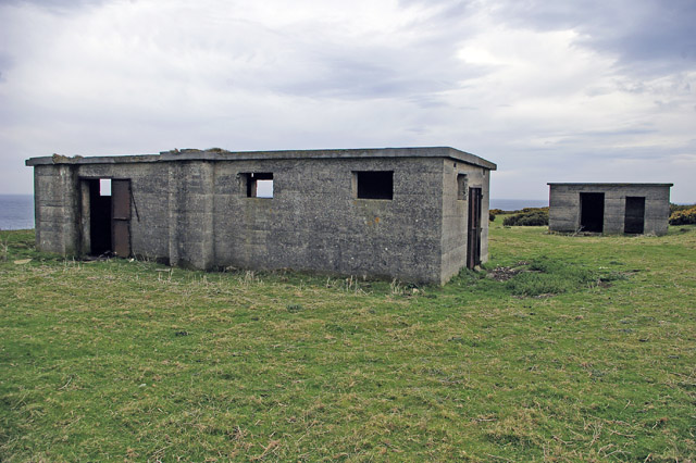
Craster radar station
Craster radar station (also known as RAF Craster), was a Chain Home Low (later a Chain Home Extra Low) Second World War radar site at Craster in Northumberland...
Embleton Bay
Embleton Bay is a bay on the North Sea, located to the east of the village of Embleton, Northumberland, England. It lies just to the south of Newton-by...
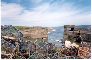
Craster
Craster is a small fishing village on the Northumberland coast of England, eight miles (13 km) from Alnwick. The next village to the north is Embleton...
Nearby Amenities
Located within 500m of 55.491117,-1.5946804Have you been to Gull Crag?
Leave your review of Gull Crag below (or comments, questions and feedback).