Scrog Hill
Hill, Mountain in Northumberland
England
Scrog Hill
Scrog Hill is a prominent hill located in the county of Northumberland, in the northeast of England. Situated within the breathtaking Northumberland National Park, the hill offers visitors stunning panoramic views of the surrounding countryside. With an elevation of approximately 350 meters (1148 feet), it stands as a notable landmark in the area.
Covered in a patchwork of heather, grasses, and shrubs, Scrog Hill is part of the Cheviot Hills range. The hill is made up of a mixture of sedimentary rocks, including sandstone and limestone, which have been shaped over millions of years by the forces of erosion. This geological composition contributes to its distinctive appearance and adds to the charm of the landscape.
Hikers and outdoor enthusiasts flock to Scrog Hill to enjoy its tranquil and unspoiled natural beauty. There are various footpaths and trails that lead to the summit, offering a range of difficulty levels to cater to different abilities. The hill is also home to a diverse array of wildlife, including birds of prey, such as kestrels and buzzards, as well as smaller mammals like rabbits and voles.
Given its accessibility and proximity to nearby towns and villages, Scrog Hill is a popular destination for day trips and weekend getaways. Its location within the Northumberland National Park ensures that the area remains relatively undeveloped and provides a peaceful retreat for those seeking to connect with nature. Scrog Hill truly encapsulates the charm and allure of Northumberland's countryside, making it a must-visit for nature lovers and outdoor enthusiasts.
If you have any feedback on the listing, please let us know in the comments section below.
Scrog Hill Images
Images are sourced within 2km of 55.486323/-1.6013125 or Grid Reference NU2521. Thanks to Geograph Open Source API. All images are credited.


Scrog Hill is located at Grid Ref: NU2521 (Lat: 55.486323, Lng: -1.6013125)
Unitary Authority: Northumberland
Police Authority: Northumbria
What 3 Words
///evidence.stated.actors. Near Embleton, Northumberland
Nearby Locations
Related Wikis

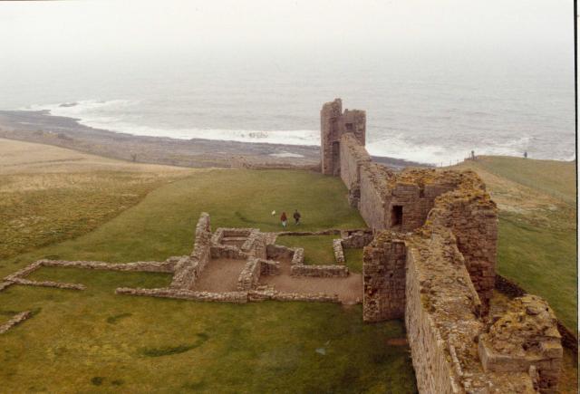
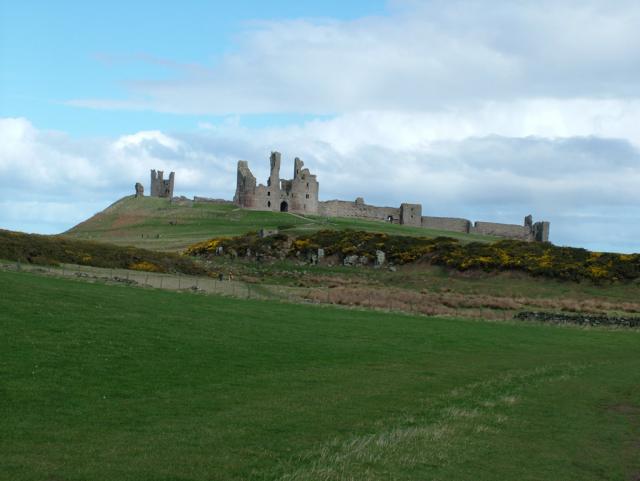
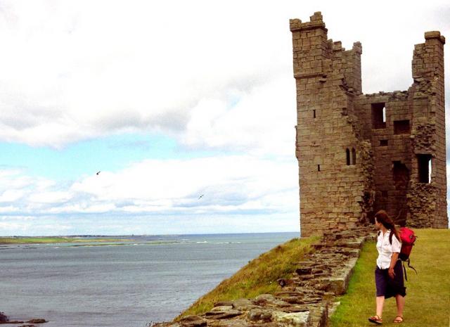
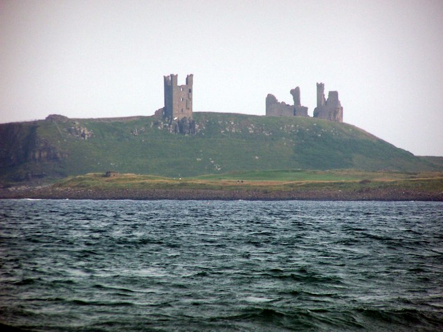
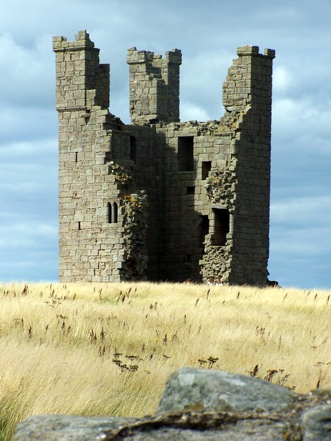
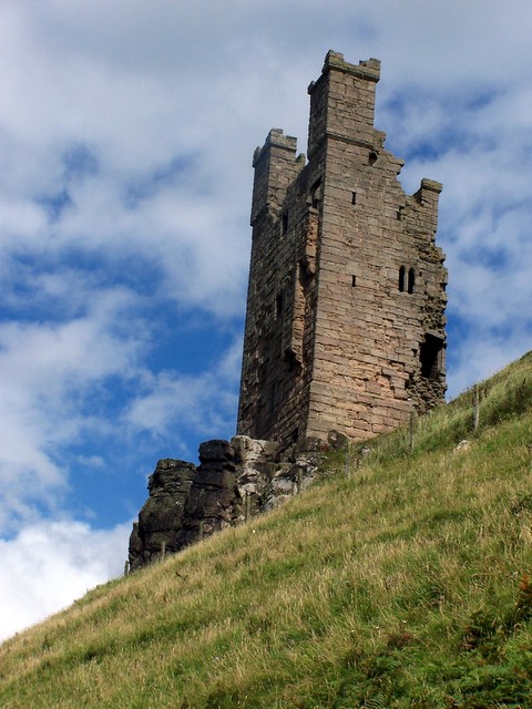
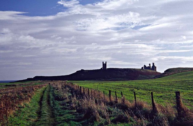
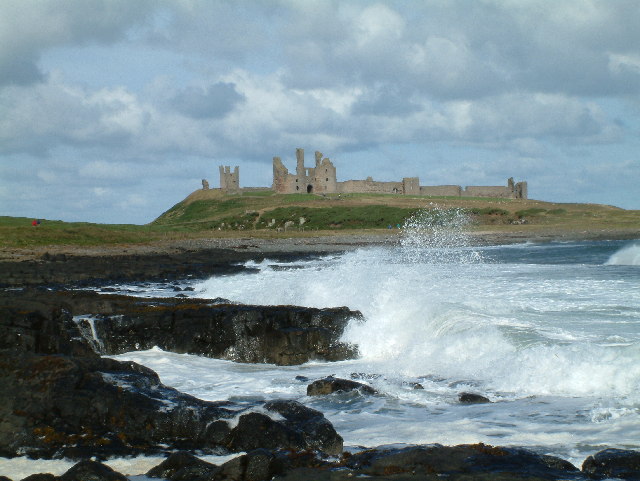
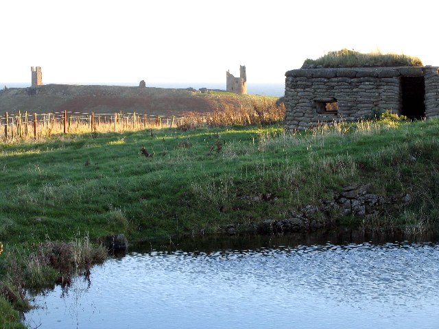
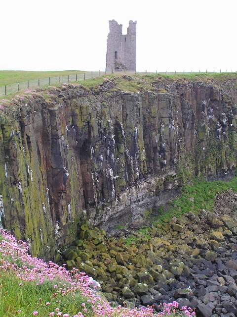
Dunstanburgh Castle
Dunstanburgh Castle is a 14th-century fortification on the coast of Northumberland in northern England, between the villages of Craster and Embleton. The...
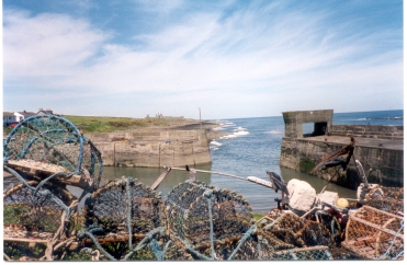
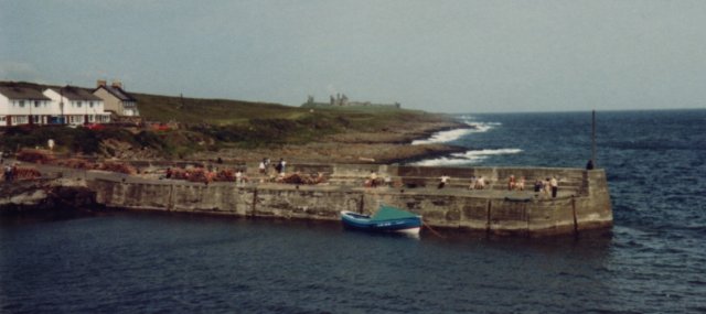
Craster
Craster is a small fishing village on the Northumberland coast of England, eight miles (13 km) from Alnwick. The next village to the north is Embleton...

Craster Tower
Craster Tower is an 18th-century Georgian mansion incorporating a 14th-century pele tower situated near the fishing village of Craster, Northumberland...
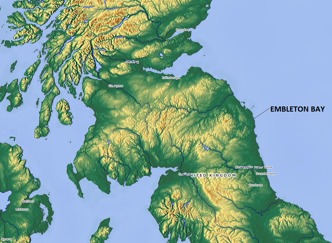
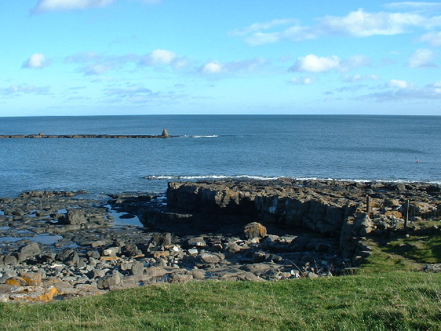
Embleton Bay
Embleton Bay is a bay on the North Sea, located to the east of the village of Embleton, Northumberland, England. It lies just to the south of Newton-by...

Embleton, Northumberland
Embleton is a village and civil parish in the English county of Northumberland. Besides the village of Embleton itself, the civil parish includes the settlement...
Church of the Holy Trinity, Embleton
The Church of the Holy Trinity is located in Embleton, Northumberland, England. The church, dedicated to the Holy Trinity, is west of the village. Built...
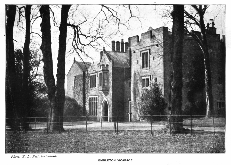
Embleton Tower
Embleton Tower is a peel tower and Grade I listed building in the village of Embleton in Northumberland, England. Tradition states that in 1395, the tower...
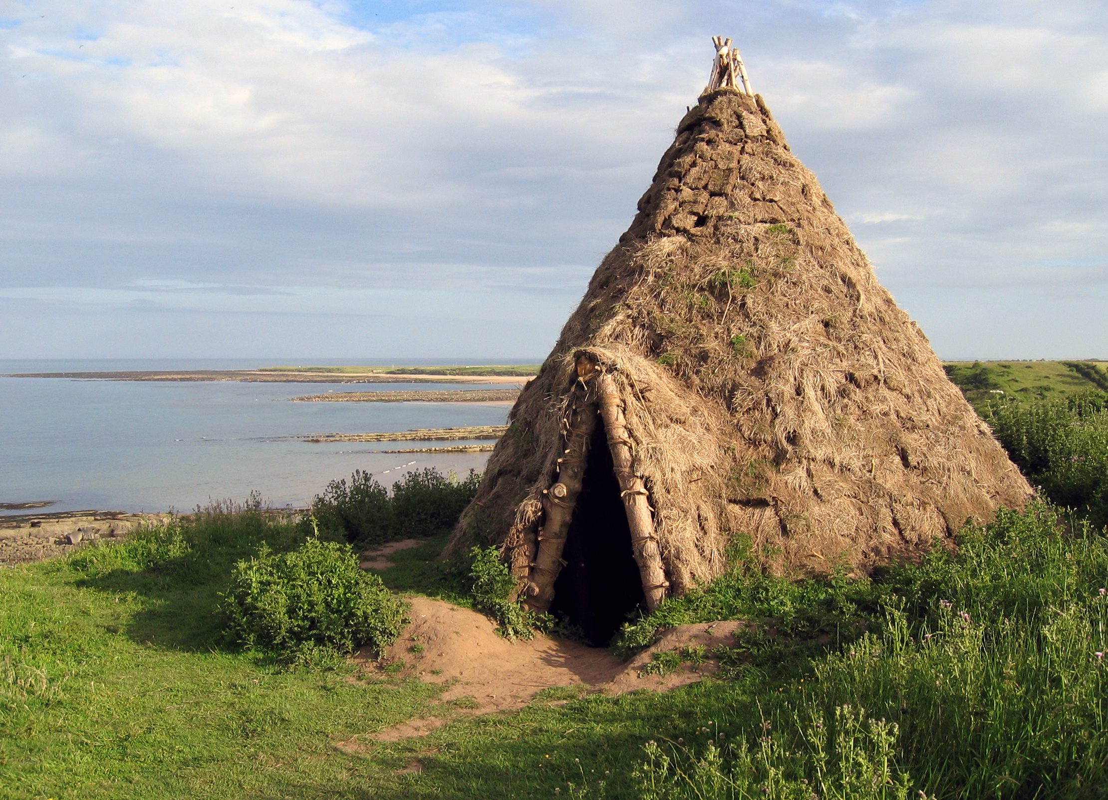
Howick house
The Howick house is a Mesolithic site located in Northumberland, England. It was found when an amateur archaeologist noticed flint tools eroding out of...
Nearby Amenities
Located within 500m of 55.486323,-1.6013125Have you been to Scrog Hill?
Leave your review of Scrog Hill below (or comments, questions and feedback).