Dunster Castle

Heritage Site in Somerset Somerset West and Taunton

England

Dunster Castle

Pillbox at Dunster beach
Pillbox at Dunster beach Credit: Roger Cornfoot

Dunster Castle is a historic fortress located in the picturesque village of Dunster, Somerset, England. Perched on a hill overlooking the Bristol Channel, this magnificent castle has a rich and fascinating history that spans over 1,000 years.

Originally built as a motte and bailey castle in the late 11th century, Dunster Castle was later transformed into a luxurious residence by the Luttrell family in the 17th century. The castle showcases a unique blend of architectural styles, ranging from medieval to Victorian, reflecting its evolution over the centuries.

Visitors to Dunster Castle can explore its well-preserved rooms, each offering a glimpse into different periods of history. The medieval gatehouse, the Great Hall with its impressive timber roof, and the elegant Georgian rooms are among the highlights of the castle's interior. The castle's picturesque gardens, with their vibrant displays of flowers and breathtaking views, add to the charm of the site.

In addition to its architectural and historical significance, Dunster Castle also offers visitors the opportunity to learn about the lives of the people who lived and worked there. The castle hosts various events and exhibitions throughout the year, including reenactments, art displays, and guided tours.

Dunster Castle is managed by the National Trust and is a popular tourist destination, attracting visitors from around the world who come to admire its stunning architecture, explore its beautiful grounds, and immerse themselves in its captivating history.

If you have any feedback on the listing, please let us know in the comments section below.

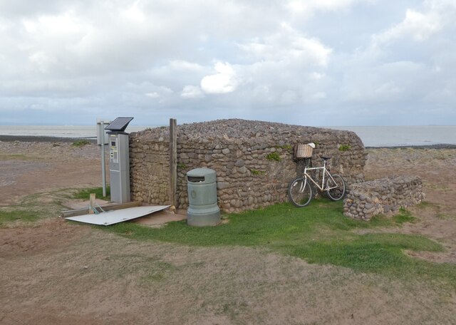
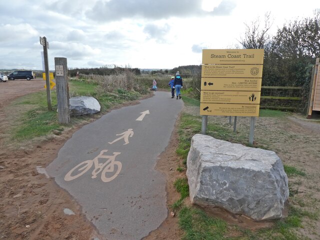
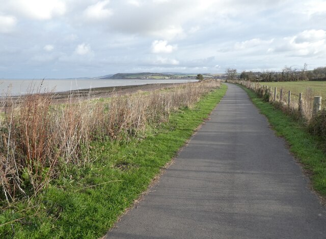
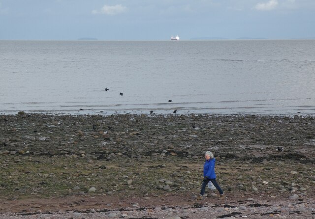
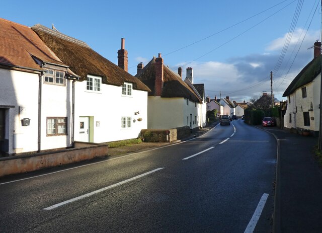
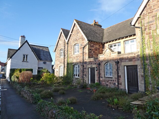
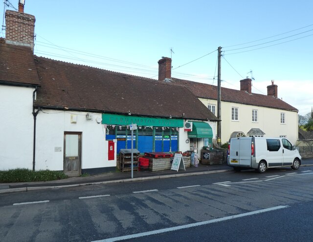
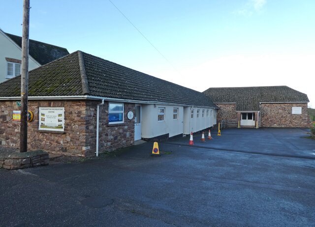
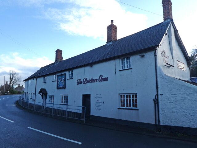
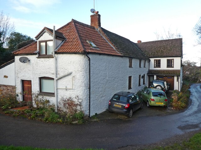
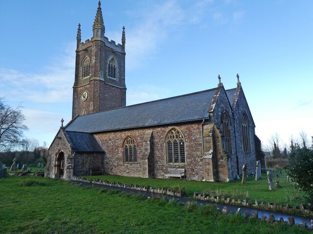
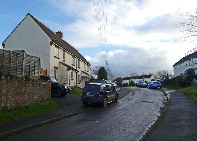
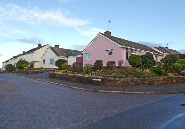
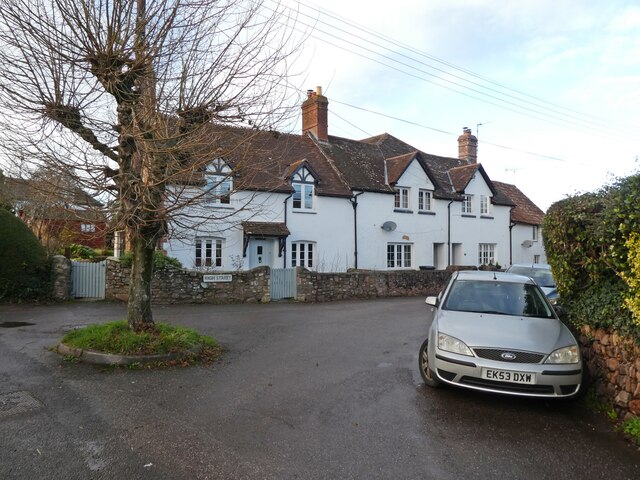
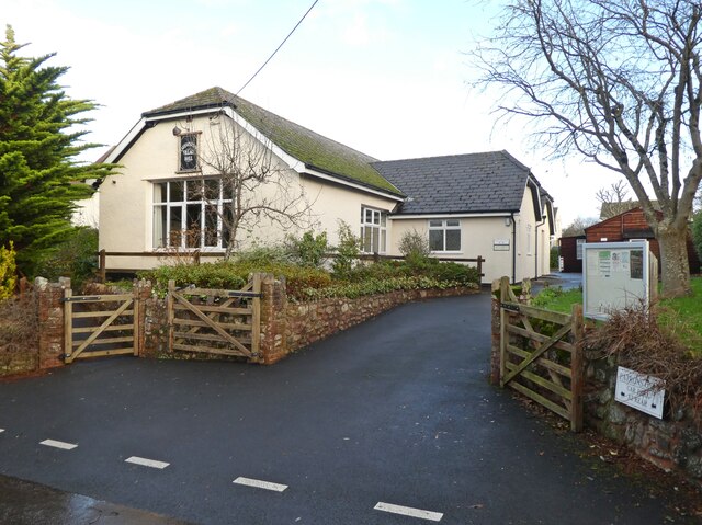
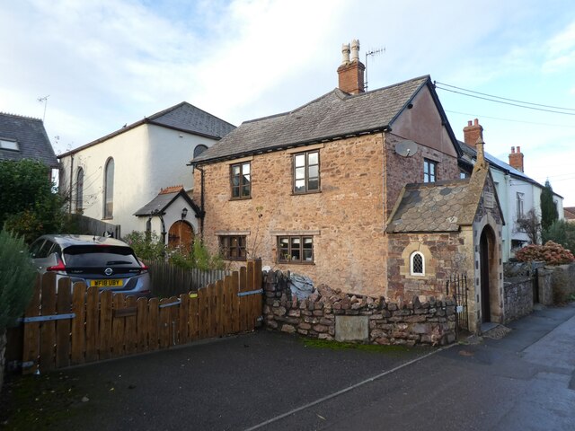
Dunster Castle Images

Images are sourced within 2km of 51.183/-3.442 or Grid Reference SS9943. Thanks to Geograph Open Source API. All images are credited.

Pillbox at Dunster beach
Start of the Steam Coast Trail, at Dunster Beach
Steam Coast Trail, Blue Anchor Bay
Woman and ship, Blue Anchor Bay
Station Road, Carhampton A rather optimistic road name. The nearest railway station is over a mile away in Blue Anchor.
Station Road, Carhampton
A rather optimistic road name. The nearest railway station is over a mile away in Blue Anchor.
The Old School house, Carhampton
Carhampton Stores
Carhampton Stores
Carhampton Recreation Centre
The Butchers Arms, Carhampton
Cottage, Carhampton
Cottage, Carhampton
Church of St John the Baptist, Carhampton
Hill View Road
Hill View Road
The Crescent, Carhampton
Junction with High Street, Carhampton
Carhampton Village Hall
Converted chapel, Carhampton
Laurel Cottage
Laurel Cottage
Thatched cottage on The Court
Show me another place!

Dunster Castle is located at Grid Ref: SS9943 (Lat: 51.183, Lng: -3.442)

Administrative County: Somerset

District: Somerset West and Taunton

Police Authority: Avon and Somerset

What 3 Words

///lingering.charging.that. Near Minehead, Somerset

Related Wikis

Dunster Museum & Doll Collection

The Dunster Museum & Doll Collection in Dunster, Somerset, England houses a collection of more than 800 dolls from around the world, based on the collection...

Yarn Market, Dunster

The Yarn Market in Dunster, Somerset, England was built in the early 17th century. It has been designated as a Grade I listed building and scheduled monument...
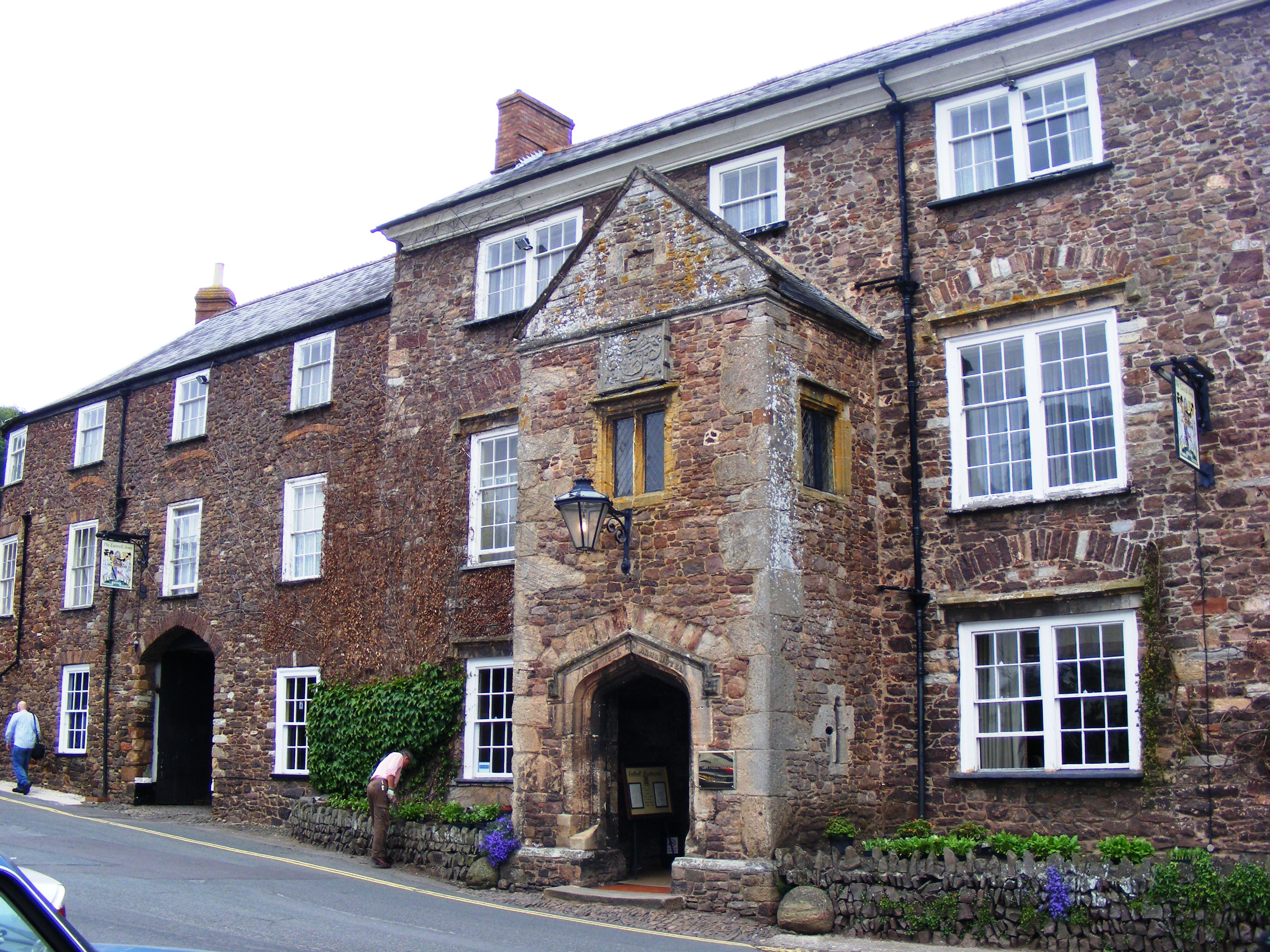
Luttrell Arms

The Luttrell Arms in Dunster, Somerset, England was built in the late 15th century and is located in the centre of the medieval town of Dunster. The building...
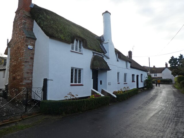
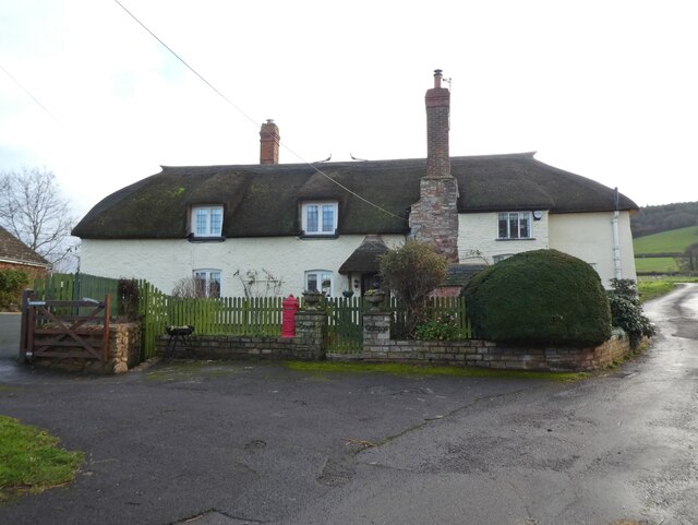
Dunster

Dunster is a village and civil parish in Somerset, England, within the north-eastern boundary of Exmoor National Park. It lies on the Bristol Channel 2...

Nearby Amenities

Located within 500m of 51.183,-3.442
Dunster
Place: village
Wikidata: Q1229166
Wikipedia: en:Dunster
Lat/Long: 51.1834143/-3.4439792
Traffic Signals
Lat/Long: 51.1870173/-3.440252
Traffic Signals
Traffic Signals Direction: backward
Lat/Long: 51.1835822/-3.4440318
Barrier: kissing_gate
Lat/Long: 51.1836367/-3.4425452
Post Box
Brand: Royal Mail
Brand Wikidata: Q638098
Brand Wikipedia: en:Royal Mail
Collection Times: Mo-Fr 11:30; Sa 11:30
Operator: Royal Mail
Operator Wikidata: Q638098
Post Box Type: wall
Ref: TA24 56
Lat/Long: 51.1813696/-3.446777
Post Office
Dunster Post Office
Addr City: Minehead
Addr Country: GB
Addr County: Somerset
Addr Housenumber: 15
Addr Postcode: TA24 6SF
Addr Street: High Street
Addr Village: Dunster
Brand: Post Office
Brand Wikidata: Q1783168
Brand Wikipedia: en:Post Office Ltd
Contact Website: https://www.postoffice.co.uk/branch-finder/2455498/dunster
Opening Hours: Mo-Th 09:00-13:00,14:00-17:00; Fr 09:00-13:00,14:00-16:00; Sa 09:00-17:00
Operator: Post Office
Operator Wikidata: Q1783168
Ref Pol Id: 9628
Wikidata: Q26583898
Lat/Long: 51.1842102/-3.4444128
Pub
The Foresters Arms
Addr City: Minehead
Addr Country: GB
Addr County: Somerset
Addr Housenumber: 33
Addr Postcode: TA24 6SN
Addr Street: West Street
Addr Village: Dunster
Fhrs Authority: West Somerset
Fhrs Id: 160768
Fhrs Local Authority Id: PI/000000588
Lat/Long: 51.1808125/-3.447814
Pub
The Luttrell Arms
Addr City: Minehead
Addr Country: GB
Addr County: Somerset
Addr Housenumber: 32-36
Addr Postcode: TA24 6SG
Addr Street: High Street
Addr Village: Dunster
Fhrs Authority: West Somerset
Fhrs Id: 160514
Fhrs Local Authority Id: PI/000000202
Wikidata: Q6705988
Wikipedia: en:Luttrell Arms
Lat/Long: 51.184953/-3.4441397
Traffic Signals
Traffic Signals Direction: backward
Lat/Long: 51.1828029/-3.4459807
Barrier: cycle_barrier
Foot: yes
Lat/Long: 51.1799416/-3.4467816
Traffic Signals
Traffic Signals Direction: backward
Lat/Long: 51.1830383/-3.4452749
Traffic Signals
Traffic Signals Direction: forward
Lat/Long: 51.1833298/-3.4444102
Barrier: height_restrictor
Maxheight: below_default
Lat/Long: 51.1836045/-3.4466571
Barrier: height_restrictor
Maxheight: below_default
Lat/Long: 51.1839373/-3.4457167
Barrier: cattle_grid
Lat/Long: 51.1840894/-3.4415604
Passing Place
Lat/Long: 51.1847797/-3.4406871
Waterway: weir
Lat/Long: 51.1856103/-3.4382313
Barrier: cattle_grid
Lat/Long: 51.1861086/-3.4388101
Spears Cross Hotel
Tourism: guest_house
Lat/Long: 51.1823197/-3.4459658
Stags Head Inn
Tourism: guest_house
Wikidata: Q111874277
Lat/Long: 51.1821763/-3.4465198
Pub
The Stags Head
Addr City: Minehead
Addr Country: GB
Addr County: Somerset
Addr Housenumber: 10
Addr Postcode: TA24 6SN
Addr Street: West Street
Addr Village: Dunster
Fhrs Authority: West Somerset
Fhrs Id: 160671
Fhrs Local Authority Id: PI/000000446
Wikidata: Q26468281
Lat/Long: 51.1821383/-3.44655
Community Centre
Dunster Tithe Barn Community Hall
Addr City: Minehead
Addr Country: GB
Addr County: Somerset
Addr Postcode: TA24 6RY
Addr Street: Priory Green
Addr Village: Dunster
Building: yes
Fhrs Authority: West Somerset
Fhrs Id: 163642
Fhrs Local Authority Id: PI/000005048
Lat/Long: 51.1838455/-3.4454763
Direction: SE
Tourism: viewpoint
Lat/Long: 51.1811947/-3.443989
Direction: NE
Tourism: viewpoint
Lat/Long: 51.1815239/-3.444386
The Dunster Castle Hotel
Addr City: Minehead
Addr Country: GB
Addr County: Somerset
Addr Housenumber: 5
Addr Postcode: TA24 6SF
Addr Street: High Street
Addr Village: Dunster
Bar: yes
Fhrs Authority: West Somerset
Fhrs Id: 160748
Fhrs Local Authority Id: PI/000000560
Food: yes
Real Ale: yes
Tourism: hotel
Website: http://www.thedunstercastlehotel.co.uk/
Wikidata: Q26309786
Lat/Long: 51.1835961/-3.4442201
Millstream Cottage B&B
Addr City: Minehead
Addr Country: GB
Addr County: Somerset
Addr Housenumber: 2
Addr Postcode: TA24 6SW
Addr Street: Mill Lane
Addr Village: Dunster
Tourism: guest_house
Lat/Long: 51.1812756/-3.44696
Exmoor House
Addr City: Minehead
Addr Country: GB
Addr County: Somerset
Addr Housenumber: 12
Addr Postcode: TA24 6SN
Addr Street: West Street
Addr Village: Dunster
Email: stay@exmoorhousedunster.co.uk
Fhrs Authority: West Somerset
Fhrs Id: 160762
Fhrs Local Authority Id: PI/000000582
Phone: +44 1643 821268
Rooms: 6
Tourism: guest_house
Website: https://exmoorhousedunster.co.uk/
Wikidata: Q26309768
Lat/Long: 51.1820588/-3.4465876
Yarn Market Hotel
Addr City: Minehead
Addr Country: GB
Addr County: Somerset
Addr Housenumber: 25-31
Addr Postcode: TA24 6SF
Addr Street: High Street
Addr Village: Dunster
Fhrs Authority: West Somerset
Fhrs Id: 160752
Fhrs Local Authority Id: PI/000000566
Tourism: hotel
Lat/Long: 51.184677/-3.4445411
Atm
Lat/Long: 51.1842382/-3.4444807
Barrier: cattle_grid
Lat/Long: 51.1829923/-3.4430679
Cafe
Cobblestones
Addr City: Minehead
Addr Country: GB
Addr County: Somerset
Addr Housenumber: 24
Addr Postcode: TA24 6SG
Addr Street: High Street
Addr Village: Dunster
Fhrs Authority: West Somerset
Fhrs Id: 160737
Fhrs Local Authority Id: PI/000000545
Name En: Cobblestones
Wikidata: Q26309785
Lat/Long: 51.1842374/-3.4440403
Exmoor National Park Centre
Tourism: information
Lat/Long: 51.1852321/-3.4431661
Restaurant
Hathaways
Addr City: Minehead
Addr Country: GB
Addr County: Somerset
Addr Housenumber: 6;8
Addr Postcode: TA24 6SN
Addr Street: West Street
Addr Village: Dunster
Fhrs Authority: West Somerset
Fhrs Id: 160462
Fhrs Local Authority Id: PI/000000109
Phone: +44 1643 821725
Wikidata: Q26309767
Lat/Long: 51.1822442/-3.4464549
Cafe
Chapel House Tearoom
Addr City: Minehead
Addr Country: GB
Addr County: Somerset
Addr Housenumber: 2
Addr Postcode: TA24 6SN
Addr Street: West Street
Addr Village: Dunster
Fhrs Authority: West Somerset
Fhrs Id: 160495
Fhrs Local Authority Id: PI/000000184
Lat/Long: 51.1823972/-3.4462497
Cafe
Castle Coffee House
Addr City: Minehead
Addr Country: GB
Addr County: Somerset
Addr Housenumber: 4
Addr Postcode: TA24 6SG
Addr Street: High Street
Addr Village: Dunster
Fhrs Authority: West Somerset
Fhrs Id: 160730
Fhrs Local Authority Id: PI/000000539
Wikidata: Q26309781
Lat/Long: 51.1835329/-3.4438866
Cafe
The Chocolate House
Addr City: Minehead
Addr Country: GB
Addr County: Somerset
Addr Housename: Myrtle Cottage
Addr Housenumber: 12
Addr Postcode: TA24 6SG
Addr Street: High Street
Addr Village: Dunster
Fhrs Authority: West Somerset
Fhrs Id: 160733
Fhrs Local Authority Id: PI/000000541
Lat/Long: 51.1837422/-3.443951
Dunster News and Gifts
Addr City: Minehead
Addr Country: GB
Addr County: Somerset
Addr Housenumber: 16
Addr Postcode: TA24 6SG
Addr Street: High Street
Addr Village: Dunster
Fhrs Authority: West Somerset
Fhrs Id: 160628
Fhrs Local Authority Id: PI/000000367
Shop: newsagent
Lat/Long: 51.1839079/-3.4439912
Cafe
Locks Tea Room
Addr City: Minehead
Addr Country: GB
Addr County: Somerset
Addr Housenumber: 18C
Addr Postcode: TA24 6SG
Addr Street: High Street
Addr Village: Dunster
Fhrs Authority: West Somerset
Fhrs Id: 160709
Fhrs Local Authority Id: PI/000000500
Lat/Long: 51.1840558/-3.4437297
Restaurant
Reeves Restaurant
Addr City: Minehead
Addr Country: GB
Addr County: Somerset
Addr Housenumber: 20-22
Addr Postcode: TA24 6SG
Addr Street: High Street
Addr Village: Dunster
Fhrs Authority: West Somerset
Fhrs Id: 160735
Fhrs Local Authority Id: PI/000000544
Lat/Long: 51.1841508/-3.4440207
Cafe
Tessa's Teashop
Addr City: Minehead
Addr Country: GB
Addr County: Somerset
Addr Housenumber: 13
Addr Postcode: TA24 6SF
Addr Street: High Street
Addr Village: Dunster
Fhrs Authority: West Somerset
Fhrs Id: 164092
Fhrs Local Authority Id: PI/000005820
Lat/Long: 51.1840355/-3.4443453
The Deli
Addr City: Minehead
Addr Country: GB
Addr County: Somerset
Addr Housenumber: 11
Addr Postcode: TA24 6SF
Addr Street: High Street
Addr Village: Dunster
Fhrs Authority: West Somerset
Fhrs Id: 160741
Fhrs Local Authority Id: PI/000000554
Shop: deli
Lat/Long: 51.1839642/-3.4443466
Higher Orchard
Addr City: Minehead
Addr Country: GB
Addr County: Somerset
Addr Housenumber: 30
Addr Postcode: TA24 6RS
Addr Street: St Georges Street
Addr Village: Dunster
Fhrs Authority: West Somerset
Fhrs Id: 160427
Fhrs Local Authority Id: PI/000000042
Tourism: guest_house
Lat/Long: 51.1844509/-3.4477544
Telephone
Booth: K6
Covered: booth
Listed Status: Grade II
Operator: BT
Operator Wikidata: Q593786
Lat/Long: 51.1851817/-3.4442661
Waste Basket
Waste: trash
Lat/Long: 51.1851688/-3.4442985
Chatelaine
Addr City: Minehead
Addr Country: GB
Addr County: Somerset
Addr Housenumber: 14
Addr Postcode: TA24 6SN
Addr Street: West Street
Addr Village: Dunster
Phone: +44 1643 821651
Shop: antiques
Lat/Long: 51.1819876/-3.4466534
Camera Mount: pole
Camera Type: dome
Man Made: surveillance
Surveillance: public
Surveillance Type: camera
Surveillance Zone: town
Lat/Long: 51.1828071/-3.4460093
The Olde House
Tourism: guest_house
Wikidata: Q26309787
Lat/Long: 51.1840809/-3.4443546
Saint George's cottage
Addr City: Minehead
Addr Country: GB
Addr County: Somerset
Addr Housenumber: 20
Addr Postcode: TA24 6SH
Addr Street: Church Road
Addr Village: Dunster
Tourism: chalet
Lat/Long: 51.1830104/-3.4462161
Fountain
Lat/Long: 51.18127/-3.4441019
Access: permissive
Entrance: yes
Wheelchair: no
Lat/Long: 51.1811492/-3.4450568
Direction: SW
Tourism: viewpoint
Lat/Long: 51.1811059/-3.4447825
Toilets
Access: customers
Unisex: yes
Lat/Long: 51.1820567/-3.4440556
Cafe
Camellia House
Delivery: no
Operator: NT
Takeaway: no
Lat/Long: 51.1813855/-3.4440402
Hummingbird
Shop: gift
Lat/Long: 51.1833278/-3.4446484
Jacobs
Shop: clothes
Lat/Long: 51.1840171/-3.4439993
Maurice Bishop
Shop: art
Lat/Long: 51.1832227/-3.4440663
Cemetery: grave
Lat/Long: 51.1821904/-3.4422116
Hiking: yes
Information: guidepost
Source: GPS survey
Tourism: information
Lat/Long: 51.1816776/-3.4422693
Hiking: yes
Information: guidepost
Source: GPS survey
Tourism: information
Lat/Long: 51.186043/-3.4384015
Hiking: yes
Information: guidepost
Source: GPS survey
Tourism: information
Lat/Long: 51.186001/-3.438018
Bench
Lat/Long: 51.1836935/-3.4487388
Hiking: yes
Information: guidepost
Source: GPS survey
Tourism: information
Lat/Long: 51.1844618/-3.4486744
Hiking: yes
Information: guidepost
Source: GPS survey
Tourism: information
Lat/Long: 51.1853201/-3.4450936
Grit Bin
Lat/Long: 51.1852201/-3.4443694
Bench
Lat/Long: 51.1851503/-3.4443775
Rohan
Brand: Rohan
Brand Wikidata: Q17025822
Shop: outdoor
Lat/Long: 51.1852865/-3.4426823
Cafe
Lat/Long: 51.1854563/-3.4424946
Toilets
Lat/Long: 51.1855218/-3.4423645
Barrier: bollard
Lat/Long: 51.1805382/-3.4463185
Bus Stop
High Street Courtyards
Bus: yes
Naptan AtcoCode: 3600SOB20113
Naptan Bearing: N
Naptan CommonName: High Street Courtyards
Naptan Indicator: N-bound
Naptan NaptanCode: sotadmaj
Naptan Street: High Street
Naptan Verified: no
Public Transport: platform
Lat/Long: 51.1838394/-3.4441594
Post Box
Brand: Royal Mail
Brand Wikidata: Q638098
Brand Wikipedia: en:Royal Mail
Collection Times: Mo-Fr 16:30; Sa 12:00
Operator: Royal Mail
Operator Wikidata: Q638098
Post Box Type: wall
Ref: TA24 77
Royal Cypher: GVIR
Royal Cypher Wikidata: Q33102169
Lat/Long: 51.1841657/-3.4443416
Telephone
Booth: K6
Covered: booth
Listed Status: Grade II
Lat/Long: 51.1807503/-3.4480053
Defibrillator
Emergency: defibrillator
Indoor: no
Lat/Long: 51.1850484/-3.4439426
National Trust
Addr City: Dunster
Addr Street: Castle Hill
Operator: National Trust
Shop: gift
Lat/Long: 51.1824712/-3.4446013
The data included in this document is from www.openstreetmap.org. The data is made available under ODbL.

Have you been to Dunster Castle?

Leave your review of Dunster Castle below (or comments, questions and feedback).