May Hill
Hill, Mountain in Somerset Somerset West and Taunton
England
May Hill
May Hill is a prominent landmark located in the county of Somerset, England. Standing at an elevation of 296 meters (971 feet), it is considered one of the highest points in the region. The hill is situated near the village of Long Ashton, approximately 6 kilometers (3.7 miles) southwest of the city of Bristol.
May Hill offers breathtaking panoramic views of the surrounding landscape, including the picturesque countryside and the nearby cityscape of Bristol. The hill is covered in lush greenery, with a mix of grasslands, woodlands, and hedgerows. It is home to a diverse range of flora and fauna, making it a popular spot for nature enthusiasts and hikers.
At the summit of May Hill, a distinctive landmark known as the "May Hill Tower" can be found. This tower was constructed in 1766 and stands at a height of 15 meters (49 feet). It was originally built as a navigational aid for ships sailing along the River Severn and the Bristol Channel. Today, the tower serves as a symbol of the area's rich history and offers visitors a unique vantage point to enjoy the surrounding scenery.
May Hill is also associated with various folklore and legends. It is said to be the site of ancient rituals and ceremonies, and there are tales of ghostly apparitions that have been reported by locals and visitors alike.
Overall, May Hill is a stunning natural landmark that offers visitors the opportunity to immerse themselves in the beauty of the Somerset countryside while enjoying its rich historical and cultural significance.
If you have any feedback on the listing, please let us know in the comments section below.
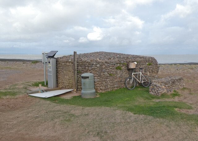
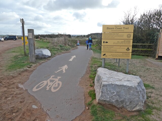
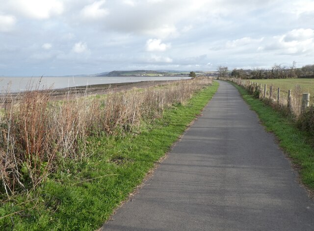
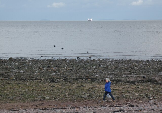
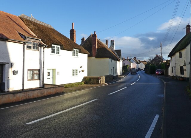
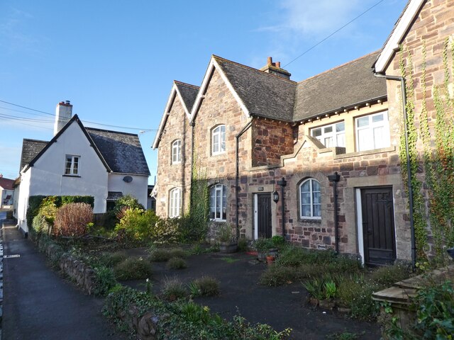
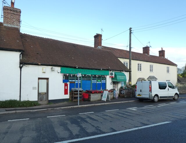
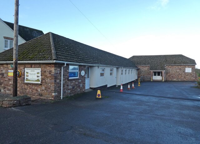
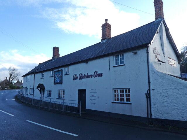
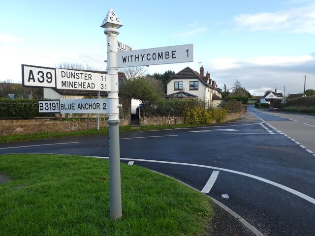
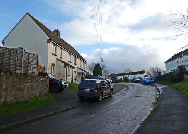
May Hill Images
Images are sourced within 2km of 51.179026/-3.4384682 or Grid Reference SS9943. Thanks to Geograph Open Source API. All images are credited.
May Hill is located at Grid Ref: SS9943 (Lat: 51.179026, Lng: -3.4384682)
Administrative County: Somerset
District: Somerset West and Taunton
Police Authority: Avon and Somerset
What 3 Words
///round.merge.compiler. Near Minehead, Somerset
Nearby Locations
Related Wikis

Dunster Working Watermill
Dunster Working Watermill (also known as Castle Mill) is a restored 18th century watermill, situated on the River Avill, close to Gallox Bridge, in the...

Dunster Castle
Dunster Castle is a former motte and bailey castle, now a country house, in the village of Dunster, Somerset, England. The castle lies on the top of a...

Gallox Bridge, Dunster
The Gallox Bridge in Dunster, Somerset, England dates from the 15th century. It has been designated as a Grade I listed building and scheduled monument...

Dunster
Dunster is a village and civil parish in Somerset, England, within the north-eastern boundary of Exmoor National Park. It lies on the Bristol Channel 2...

Dunster Museum & Doll Collection
The Dunster Museum & Doll Collection in Dunster, Somerset, England houses a collection of more than 800 dolls from around the world, based on the collection...

Yarn Market, Dunster
The Yarn Market in Dunster, Somerset, England was built in the early 17th century. It has been designated as a Grade I listed building and scheduled monument...
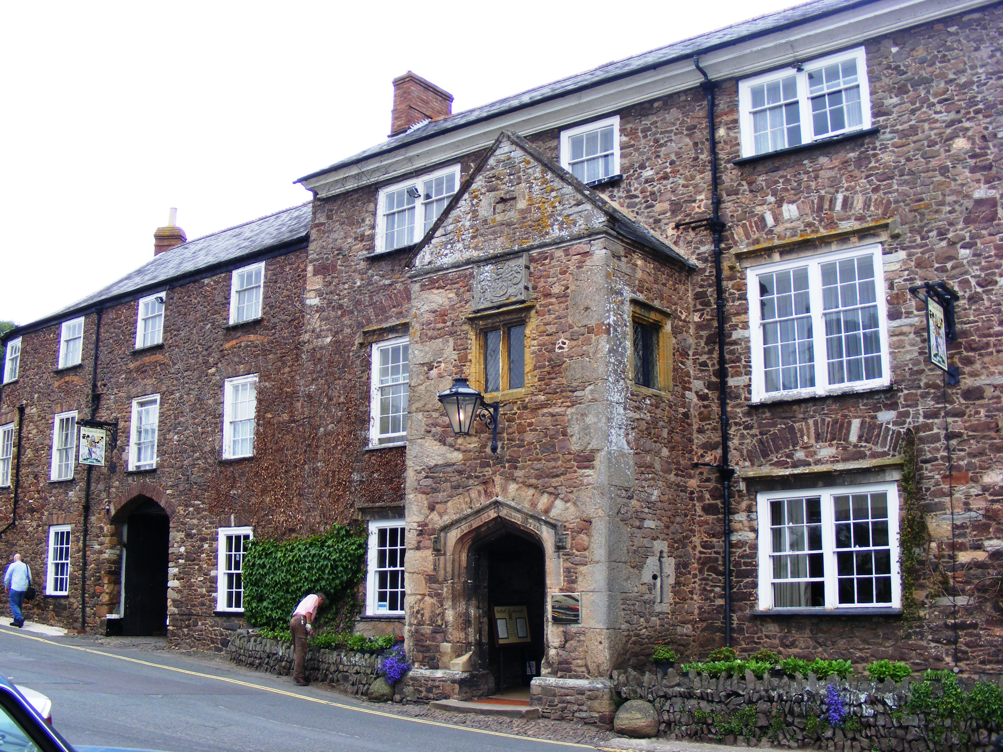
Luttrell Arms
The Luttrell Arms in Dunster, Somerset, England was built in the late 15th century and is located in the centre of the medieval town of Dunster. The building...

Dunster Dovecote
The Dovecote in Dunster, Somerset, England was probably built in the late 16th century. It has been designated as a Grade II* listed building and Scheduled...
Nearby Amenities
Located within 500m of 51.179026,-3.4384682Have you been to May Hill?
Leave your review of May Hill below (or comments, questions and feedback).