Moelfre
Hill, Mountain in Montgomeryshire
Wales
Moelfre

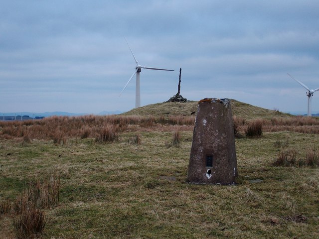
Moelfre is a small hill located in Montgomeryshire, Wales. It is situated in the western part of the county, near the village of Llanfair Caereinion. Moelfre stands at an elevation of approximately 400 meters (1,312 feet) above sea level, making it a prominent feature in the surrounding landscape.
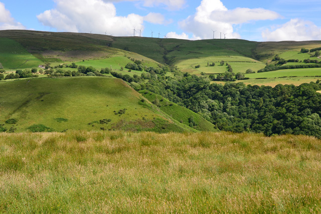
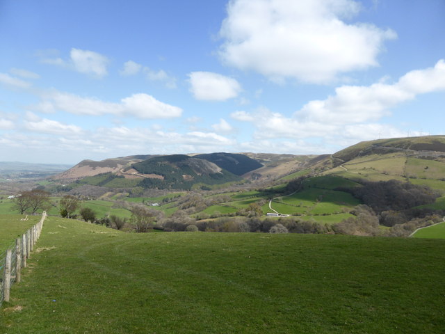
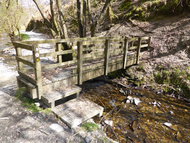
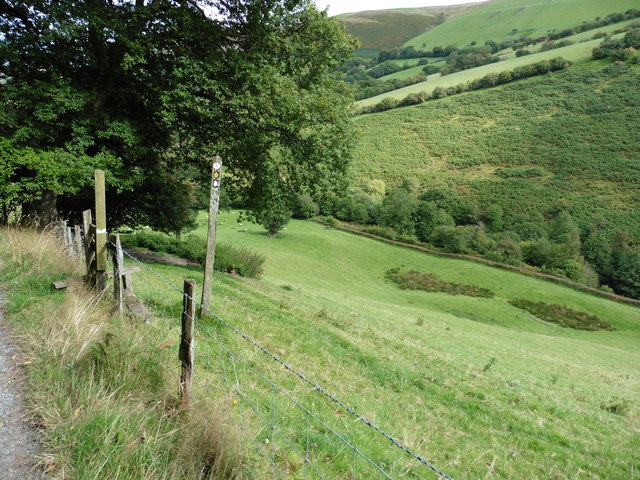
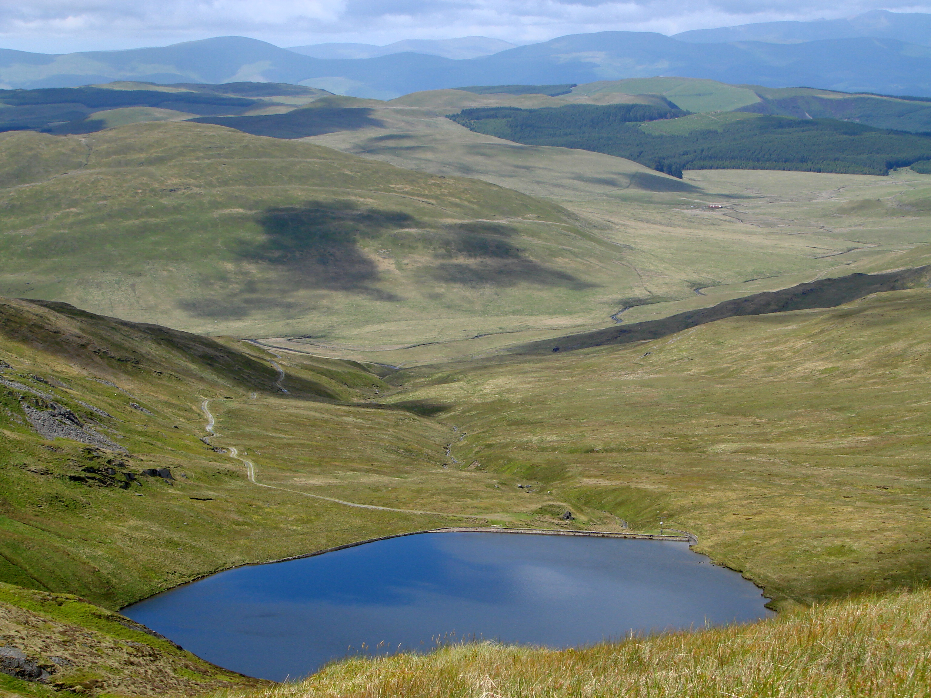
The hill offers breathtaking panoramic views of the surrounding countryside, with its slopes covered in green pastures and scattered patches of woodland. The terrain of Moelfre is relatively gentle, making it accessible for hikers and nature enthusiasts of all skill levels. There are several well-marked trails that lead visitors to the summit, providing an opportunity to explore the diverse flora and fauna that call the hillside home.
Moelfre is also known for its historical significance. The area is rich in archaeological remains, with ancient artifacts and structures dating back to the Iron Age and Roman times. These remnants offer a glimpse into the region's past and attract history enthusiasts from all over.
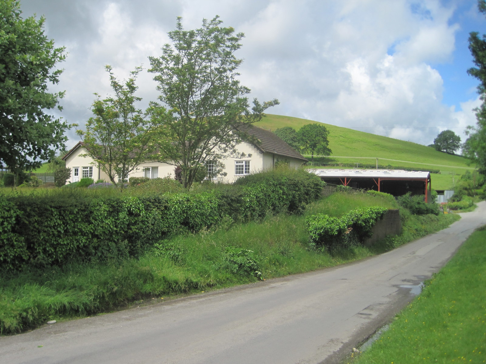
The hill is a popular destination for outdoor activities such as walking, hiking, and birdwatching. The surrounding area is home to a variety of bird species, including red kites, buzzards, and kestrels, making it a haven for bird lovers. Additionally, the hillside is dotted with sheep farms, adding to the picturesque rural charm of the landscape.
Overall, Moelfre in Montgomeryshire offers visitors a chance to immerse themselves in the natural beauty and history of the region. With its stunning views, diverse wildlife, and cultural heritage, it is a must-visit destination for those seeking tranquility and exploration in the heart of Wales.
If you have any feedback on the listing, please let us know in the comments section below.
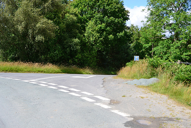
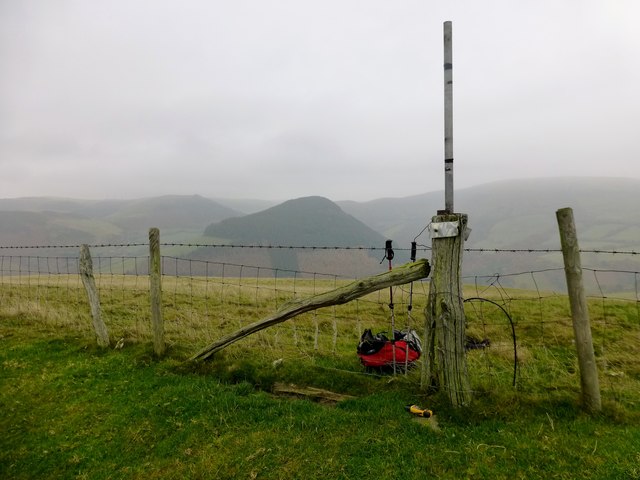
Moelfre Images
Images are sourced within 2km of 52.434938/-3.4790691 or Grid Reference SN9982. Thanks to Geograph Open Source API. All images are credited.


Moelfre is located at Grid Ref: SN9982 (Lat: 52.434938, Lng: -3.4790691)
Unitary Authority: Powys
Police Authority: Dyfed Powys
What 3 Words
///desiring.huddled.topmost. Near Llanidloes, Powys
Nearby Locations
Related Wikis
Dolwen railway station
Dolwen railway station was a station to the southwest of Llandinam, Powys, Wales. The station was opened in 1859 and closed in 1963. The station building...
Cambrian Mountains
The Cambrian Mountains (Welsh: Mynyddoedd Cambria, in a narrower sense: Elenydd) are a series of mountain ranges in Wales. The term Cambrian Mountains...
Pegwn Mawr
Pegwn Mawr is a mountain in Powys, Mid Wales, east of Llanidloes. It is 586 m (1,922 ft) high. It is surrounded by a wind farm. There is a trig point...
Tylwch
Tylwch is a small village in Powys, Wales. Tylwch lies south of the principal town of Llanidloes on the border of Montgomeryshire and Radnorshire. It lies...
Nearby Amenities
Located within 500m of 52.434938,-3.4790691Have you been to Moelfre?
Leave your review of Moelfre below (or comments, questions and feedback).