Allt Cae-du

Hill, Mountain in Montgomeryshire

Wales

Allt Cae-du

A458 approaching Foel from the west
A458 approaching Foel from the west Credit: Steven Brown

Allt Cae-du is a stunning hill/mountain located in Montgomeryshire, Wales. With an elevation of 600 meters (1,969 feet), it offers breathtaking panoramic views of the surrounding countryside. It is situated in the southern part of the county, near the town of Llanfair Caereinion.

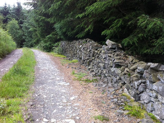
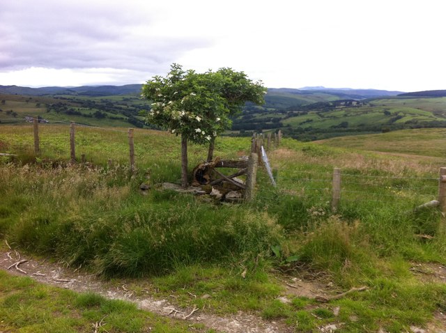
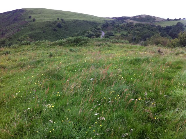
The hill/mountain is characterized by its rugged terrain, with steep slopes and rocky outcrops. It is covered in lush green vegetation, including heather, grasses, and various wildflowers, creating a picturesque landscape. On a clear day, it is possible to see for miles, with views extending over the rolling hills and valleys of Montgomeryshire.

Allt Cae-du is a popular destination for hikers and nature enthusiasts, offering a range of walking trails to suit different abilities. The ascent to the summit can be challenging, but the effort is rewarded with spectacular views at the top. Along the way, visitors may encounter native wildlife such as red kites, buzzards, and mountain sheep.

The hill/mountain is also steeped in history, with evidence of ancient settlements and archaeological sites. It is believed to have been inhabited since the Bronze Age, and there are remnants of hillforts and stone circles in the vicinity.

Allt Cae-du is a true gem of Montgomeryshire, offering a unique blend of natural beauty, outdoor recreation, and historical significance. Whether you are looking for a challenging hike or simply a place to admire the breathtaking scenery, this hill/mountain is sure to captivate and inspire all who visit.

If you have any feedback on the listing, please let us know in the comments section below.
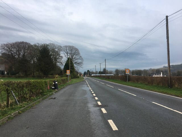
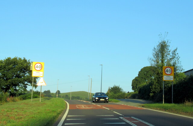
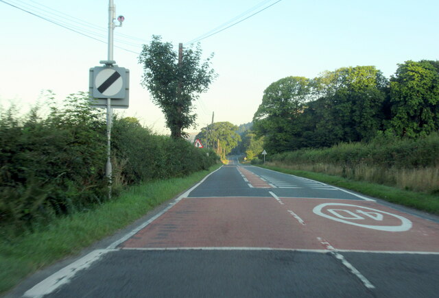
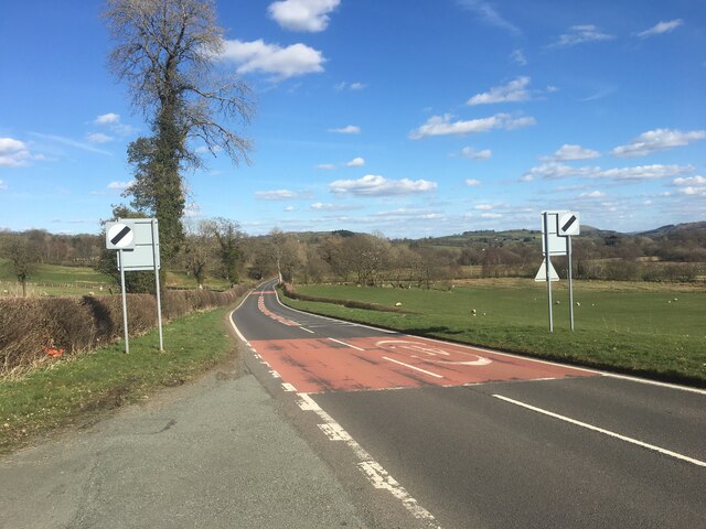
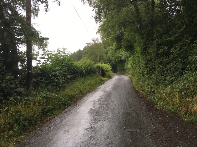
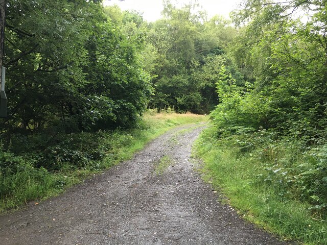
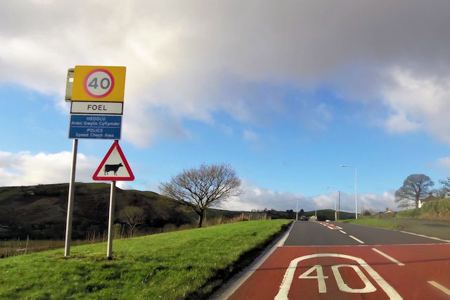
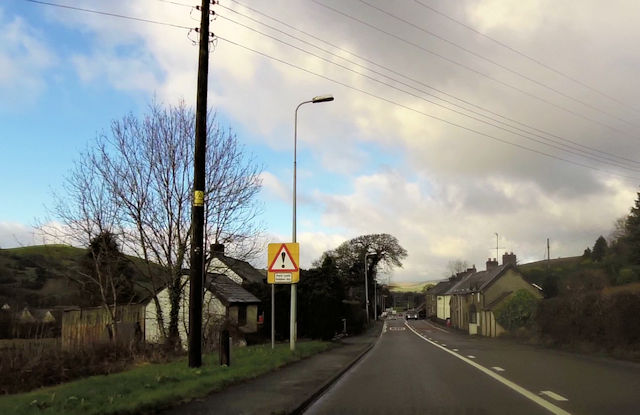
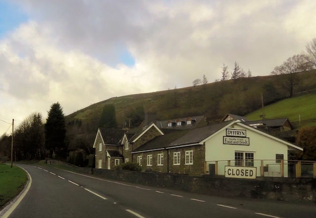
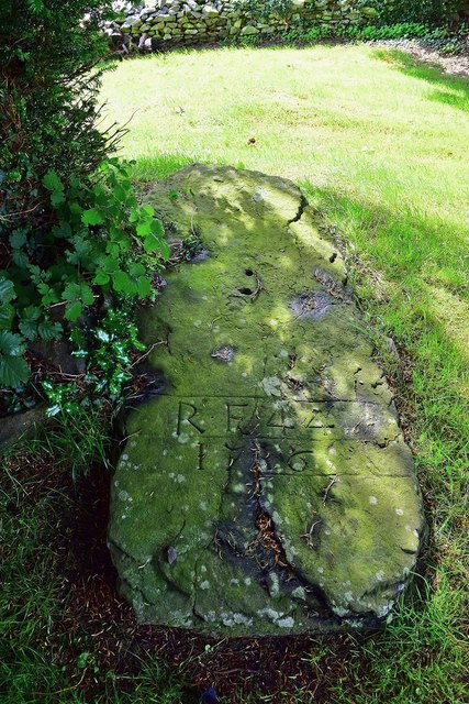
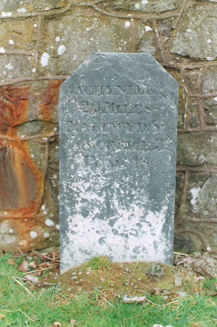
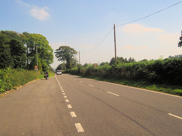
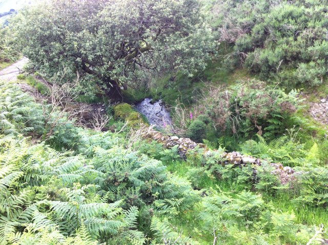
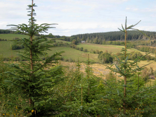
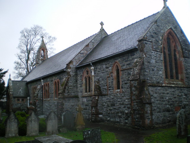
Allt Cae-du Images

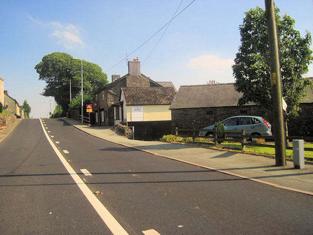
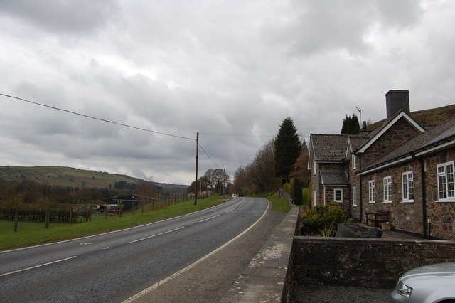
Images are sourced within 2km of 52.702584/-3.4880452 or Grid Reference SH9912. Thanks to Geograph Open Source API. All images are credited.

A458 approaching Foel from the west
The A458 at the Foel village sign
The A458 west leaving Foel village
A458 near Foel
A458 near Foel
Minor road near Foel
Gravel road towards Dyfnant Forest
A458 entering Foel
A458 entering Foel
Foel village on A458
Dyffryn Cafe on the A485 west of Foel Exact location taken from Where's the path
Dyffryn Cafe on the A485 west of Foel
Exact location taken from Where's the path
Grave Under the Yew An unusual grave under one of the Yews South of the Church at St Tydecho's Church Garthbeibio, Powys.
Grave Under the Yew
An unusual grave under one of the Yews South of the Church at St Tydecho's Church Garthbeibio, Powys.
Old Milestone by the A458 near Foel Machynlleth Chamfer by the A458, in parish of Banwy (Powys District), Pant Gals, Pont Twrch; Foel, near Dyffryn Restaurant, on verge, North side of road.
N.B. Re-located from South to North side of road

Inscription reads:-
MACHYNLLETH
20 MILES
MALLWYD 8½
CANOFFICE 3½
POOL
18 MILES 

Grade II listed by Cadw.
Reference Number: 80791 <span class="nowrap"><a title="https://cadwpublic-api.azurewebsites.net/reports/listedbuilding/FullReport?lang=&id=80791" rel="nofollow ugc noopener" href="https://cadwpublic-api.azurewebsites.net/reports/listedbuilding/FullReport?lang=&id=80791">Link</a><img style="margin-left:2px;" alt="External link" title="External link - shift click to open in new window" src="https://s1.geograph.org.uk/img/external.png" width="10" height="10"/></span>

Surveyed

Milestone Society National ID: MOT_MCWP20
Old Milestone by the A458 near Foel
Machynlleth Chamfer by the A458, in parish of Banwy (Powys District), Pant Gals, Pont Twrch; Foel, near Dyffryn Restaurant, on verge, North side of road. N.B. Re-located from South to North side of road Inscription reads:- MACHYNLLETH 20 MILES MALLWYD 8½ CANOFFICE 3½ POOL 18 MILES Grade II listed by Cadw. Reference Number: 80791 LinkExternal link Surveyed Milestone Society National ID: MOT_MCWP20
Foel looking from layby on A458 to the west
A458 past Foel post office Looking east
A458 past Foel post office
Looking east
The Dyffryn Restaurant On the A458 west of Foel.
The Dyffryn Restaurant
On the A458 west of Foel.
Stone wall near Belan Fâch It's not often you find an old stone wall as intact as this section in a Forestry Commission forest.  It was only a short stretch though.
Stone wall near Belan Fâch
It's not often you find an old stone wall as intact as this section in a Forestry Commission forest. It was only a short stretch though.
Elder bush with backdrop We liked this Elder bush growing from a log.  Life will always find a way.  The backdrop is spectacular, with Aran Fawddwy in the far distance.
Elder bush with backdrop
We liked this Elder bush growing from a log. Life will always find a way. The backdrop is spectacular, with Aran Fawddwy in the far distance.
Nant flowing off the hills above Foel This stream accompanies the path down the hillside before shortly turning right to flow into the Afon Twrch, which itself shortly meets the Afon Banwy at Foel. The Banwy then flows on to meet the Vyrnwy just before Meifod.
Nant flowing off the hills above Foel
This stream accompanies the path down the hillside before shortly turning right to flow into the Afon Twrch, which itself shortly meets the Afon Banwy at Foel. The Banwy then flows on to meet the Vyrnwy just before Meifod.
Fort antiquity above Foel It took me a while to realise that this is where I was.  Nothing to mark it at all save a load of cattle footprints. Allt Cae Du in the background.
Fort antiquity above Foel
It took me a while to realise that this is where I was. Nothing to mark it at all save a load of cattle footprints. Allt Cae Du in the background.
Show me another place!

Allt Cae-du is located at Grid Ref: SH9912 (Lat: 52.702584, Lng: -3.4880452)

Unitary Authority: Powys

Police Authority: Dyfed Powys

What 3 Words

///material.hobbyists.gazed. Near Llangadfan, Powys

Related Wikis

Dyfnant Forest

Dyfnant Forest is a remote forest in northeastern-central Powys, Wales. == Location == Dyfnant Forest lies to the west of the B4395 road, a road which...

Llangadfan

Llangadfan is a small village in Powys, Wales, based in the community of Banwy. The village lies on the A458 between Foel and Llanerfyl, 12 kilometres...

Llwydiarth

Llwydiarth is a small village in Powys, Wales. It is located near Lake Vyrnwy. The village is mostly made up of a caravan park and holiday centre. It does...

Llanerfyl

Llanerfyl is a village and community in Montgomeryshire, Powys, Wales. Located near the River Banwy, the community includes the village of Llanerfyl, several...

Nearby Amenities

Located within 500m of 52.702584,-3.4880452
Building: yes
Lat/Long: 52.7000621/-3.4916634
The data included in this document is from www.openstreetmap.org. The data is made available under ODbL.

Have you been to Allt Cae-du?

Leave your review of Allt Cae-du below (or comments, questions and feedback).