Dùn Mhic Raonuill
Heritage Site in Argyllshire
Scotland
Dùn Mhic Raonuill
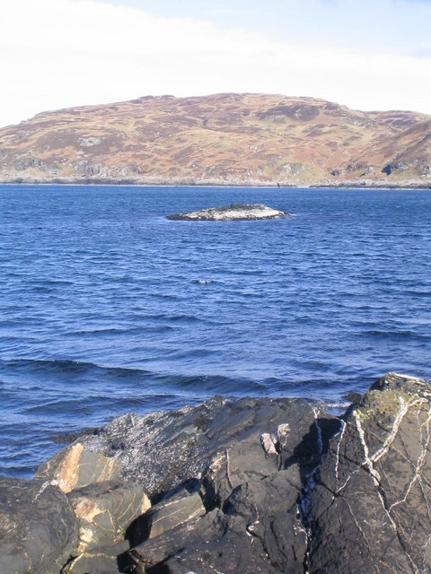
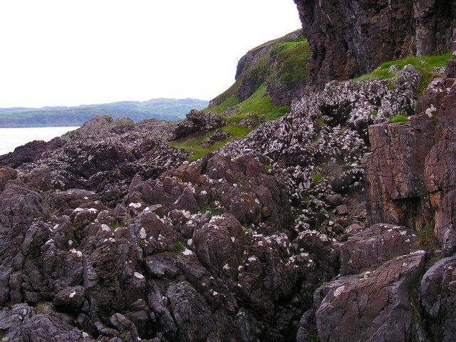
Dùn Mhic Raonuill, located in Argyllshire, Scotland, is a significant heritage site with a rich historical and cultural background. The site is an ancient fort situated on a rocky outcrop overlooking Loch Awe, near the village of Kilchrenan. The name Dùn Mhic Raonuill translates to "Fort of MacRaonuill," referencing the clan that once occupied the area.
Dating back to the Iron Age, Dùn Mhic Raonuill is believed to have been constructed around 500 BC. The fort consists of a series of stone walls, forming a circular enclosure that would have housed the inhabitants and provided protection against potential invaders. The walls, constructed using dry stone techniques, have stood the test of time, although some sections have eroded over the centuries.
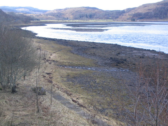
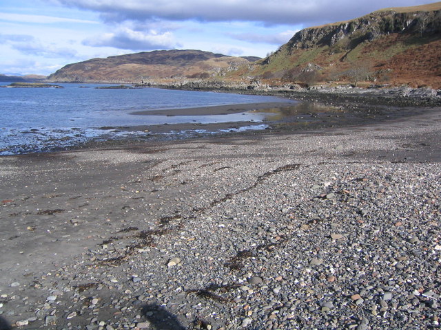
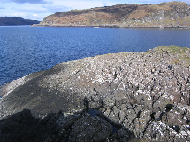
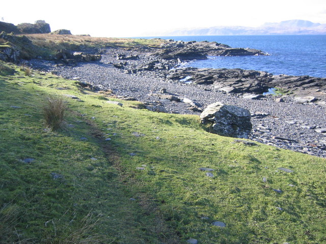
The site offers breathtaking views of the surrounding landscape, including the picturesque Loch Awe and the nearby mountains. It serves as a reminder of the ancient inhabitants' reliance on natural defenses and their strategic selection of locations for their settlements.
Dùn Mhic Raonuill is a popular destination for history enthusiasts and tourists alike, offering a glimpse into Scotland's ancient past. Visitors can explore the remains of the fort, walk along the stone walls, and imagine what life would have been like for the inhabitants during that era.
Preservation efforts are ongoing, with periodic maintenance and conservation work being carried out to protect this important heritage site for future generations to appreciate and learn from.
If you have any feedback on the listing, please let us know in the comments section below.
Dùn Mhic Raonuill Images
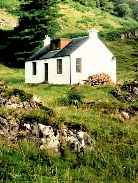
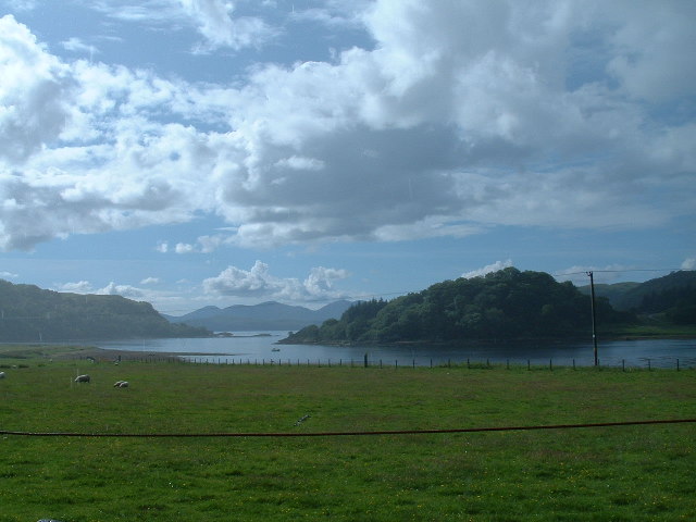
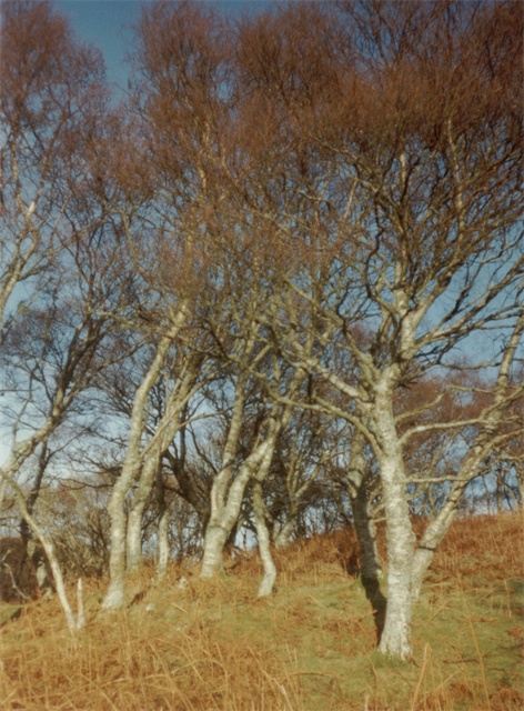
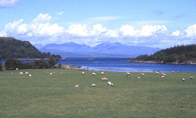
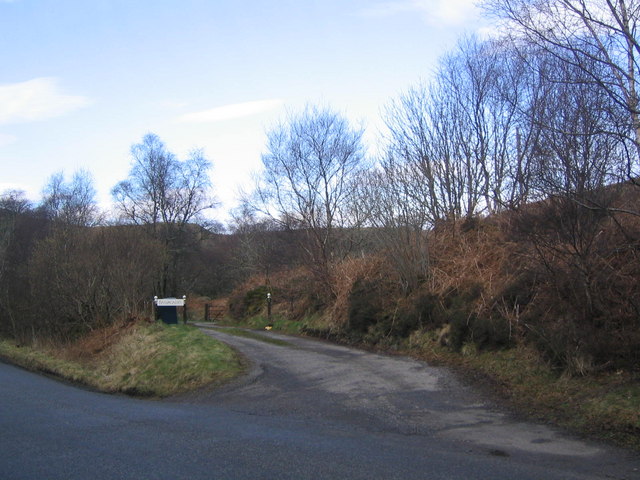
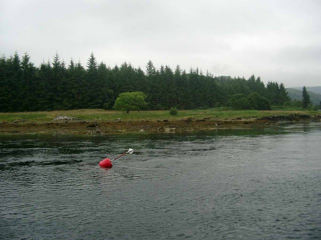
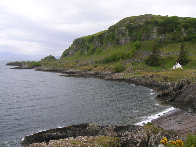
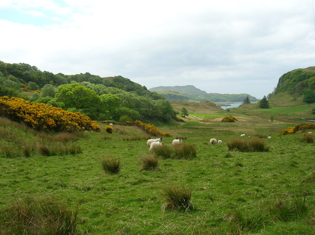
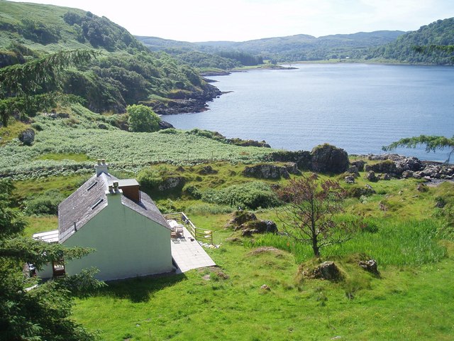
Images are sourced within 2km of 56.353/-5.537 or Grid Reference NM8123. Thanks to Geograph Open Source API. All images are credited.

Dùn Mhic Raonuill is located at Grid Ref: NM8123 (Lat: 56.353, Lng: -5.537)
Unitary Authority: Argyll and Bute
Police Authority: Argyll and West Dunbartonshire
What 3 Words
///squabbles.taxed.talent. Near Oban, Argyll & Bute
Related Wikis
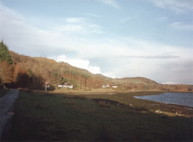
Ardentallen
Ardentallen (Scottish Gaelic: Àird an t-Sàilein) is a village in Argyll and Bute, Scotland. == References ==
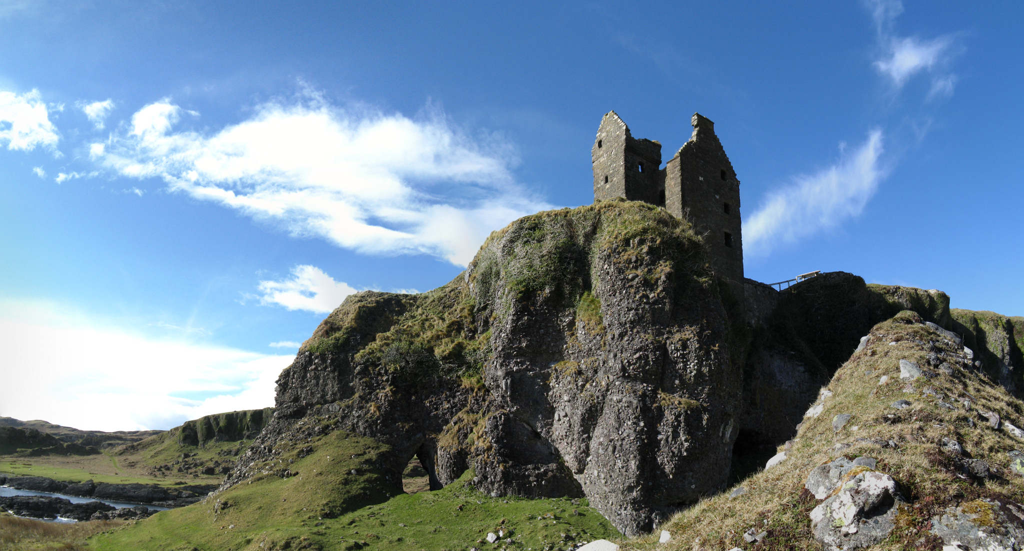
Gylen Castle
Gylen Castle is a ruined castle, or tower house, at the south end of the island of Kerrera in Argyll and Bute, Scotland, on a promontory overlooking the...

Battle of Lagganmore
The Battle of Lagganmore took place in 1646 at Lagganmore in Glen Euchar, west of Loch Scammadale. It was part of the Wars of the Three Kingdoms, though...
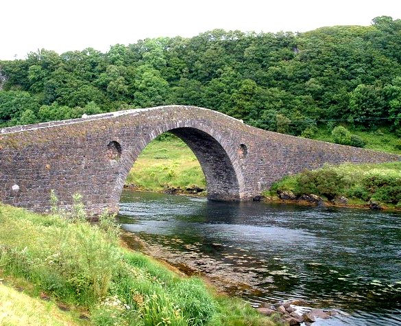
Clachan Bridge
The Clachan Bridge is a simple, single-arched, hump-backed, masonry bridge spanning the Clachan Sound, 13 kilometres (8 mi) southwest of Oban in Argyll...

Kerrera
Kerrera (; Scottish Gaelic: Cearara or Cearrara) is an island in the Scottish Inner Hebrides, close to the town of Oban. In 2016 it had a population of...

Lorn and Islands Hospital
Lorn & Islands Hospital is a rural general hospital on the southern outskirts of Oban in Argyll, Scotland. It is managed by NHS Highland. == History... ==

Oban High School
Oban High School (Scottish Gaelic: Àrd-sgoil an Òbain) is a secondary school in Oban, Argyll, Scotland. The head teacher is currently Peter Bain, having...

Oban railway station
Oban railway station is a railway station serving Oban in Scotland. It is the terminus of one branch of the highly scenic West Highland Line, sited 71...
Nearby Amenities
Located within 500m of 56.353,-5.537Have you been to Dùn Mhic Raonuill?
Leave your review of Dùn Mhic Raonuill below (or comments, questions and feedback).