Minard Point
Coastal Feature, Headland, Point in Argyllshire
Scotland
Minard Point

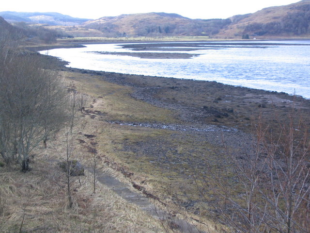
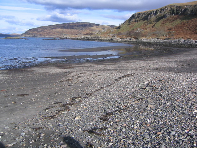
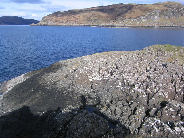
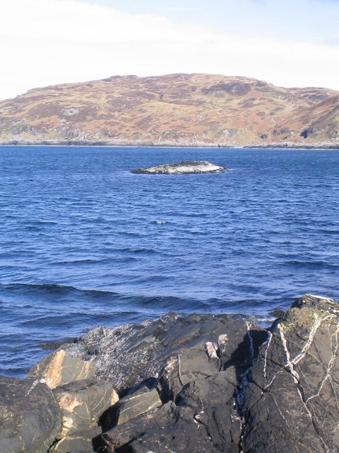
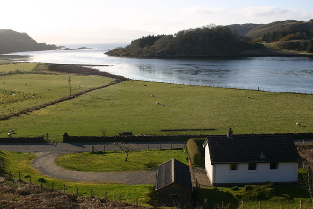
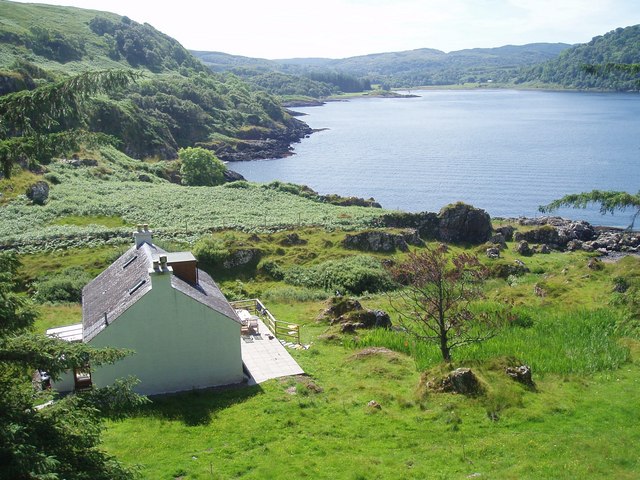
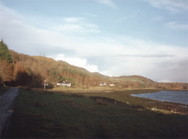
Minard Point is a prominent coastal feature located in Argyllshire, Scotland. Situated on the western coast of the Loch Fyne, it is a headland that extends out into the North Atlantic Ocean. This picturesque point is renowned for its stunning natural beauty and rich historical significance.
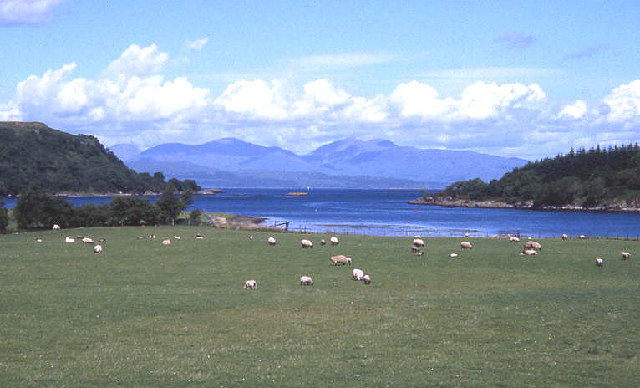
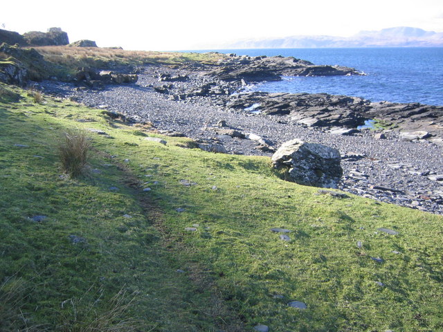
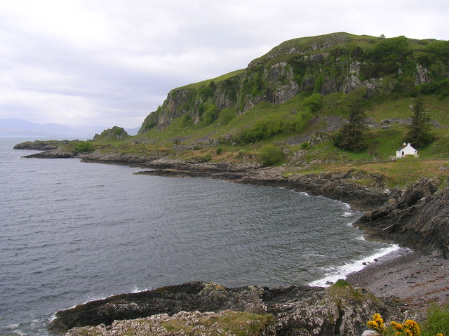
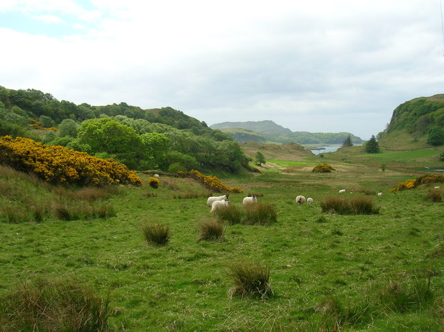
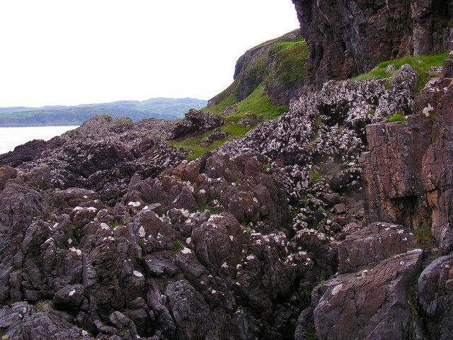
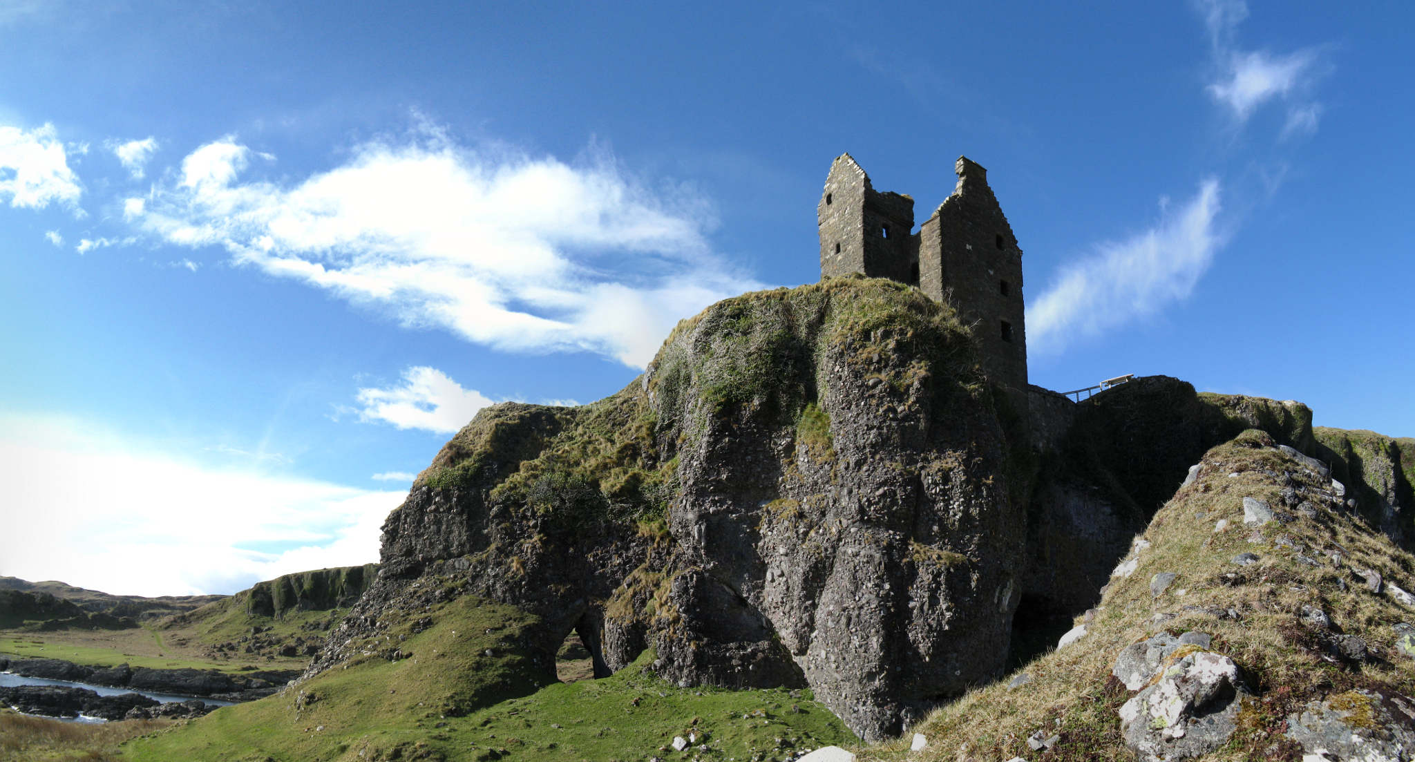
The headland of Minard Point is characterized by steep cliffs that reach up to 100 feet in height, providing a breathtaking panoramic view of the surrounding area. These cliffs are composed of ancient rocks, including sandstone and slate, dating back millions of years. The rugged terrain and crashing waves create a dramatic and awe-inspiring landscape.
The point is home to a diverse array of wildlife, including various seabirds like guillemots and puffins. Otters and seals can also be spotted basking in the sun along the rocky shoreline. The surrounding waters of Minard Point are known for their abundance of marine life, making it a popular spot for fishing and diving enthusiasts.
In addition to its natural beauty, Minard Point holds historical significance. The area is dotted with ancient ruins, including the remains of a medieval castle, which was once a stronghold of the Campbell clan. The castle's ruins stand as a reminder of the region's turbulent past and offer a glimpse into the area's rich heritage.
Minard Point is a must-visit destination for nature enthusiasts, history buffs, and anyone seeking an escape into the wild beauty of the Scottish coastline. Its stunning cliffs, diverse wildlife, and historical landmarks make it a truly remarkable and captivating place to explore.
If you have any feedback on the listing, please let us know in the comments section below.
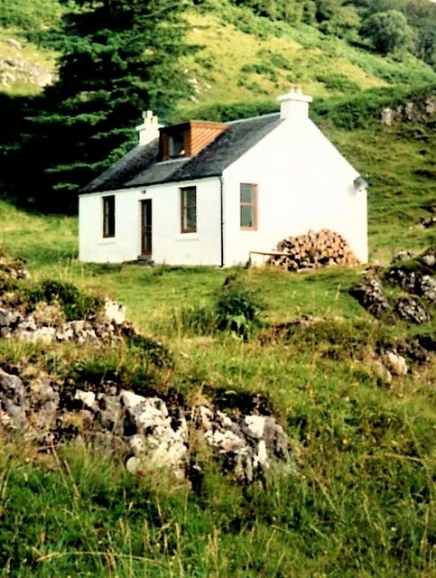
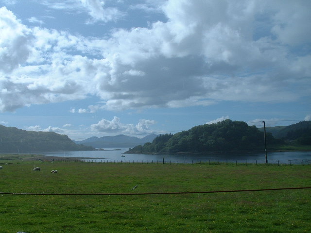
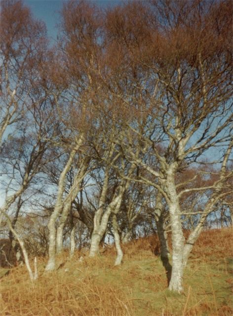
Minard Point Images
Images are sourced within 2km of 56.354699/-5.5344316 or Grid Reference NM8123. Thanks to Geograph Open Source API. All images are credited.


Minard Point is located at Grid Ref: NM8123 (Lat: 56.354699, Lng: -5.5344316)
Unitary Authority: Argyll and Bute
Police Authority: Argyll and West Dunbartonshire
What 3 Words
///courage.twitching.dabbing. Near Oban, Argyll & Bute
Related Wikis
Ardentallen
Ardentallen (Scottish Gaelic: Àird an t-Sàilein) is a village in Argyll and Bute, Scotland. == References ==
Gylen Castle
Gylen Castle is a ruined castle, or tower house, at the south end of the island of Kerrera in Argyll and Bute, Scotland, on a promontory overlooking the...

Battle of Lagganmore
The Battle of Lagganmore took place in 1646 at Lagganmore in Glen Euchar, west of Loch Scammadale. It was part of the Wars of the Three Kingdoms, though...

Kerrera
Kerrera (; Scottish Gaelic: Cearara or Cearrara) is an island in the Scottish Inner Hebrides, close to the town of Oban. In 2016 it had a population of...
Nearby Amenities
Located within 500m of 56.354699,-5.5344316Have you been to Minard Point?
Leave your review of Minard Point below (or comments, questions and feedback).