Port Nighean an Righ
Sea, Estuary, Creek in Argyllshire
Scotland
Port Nighean an Righ

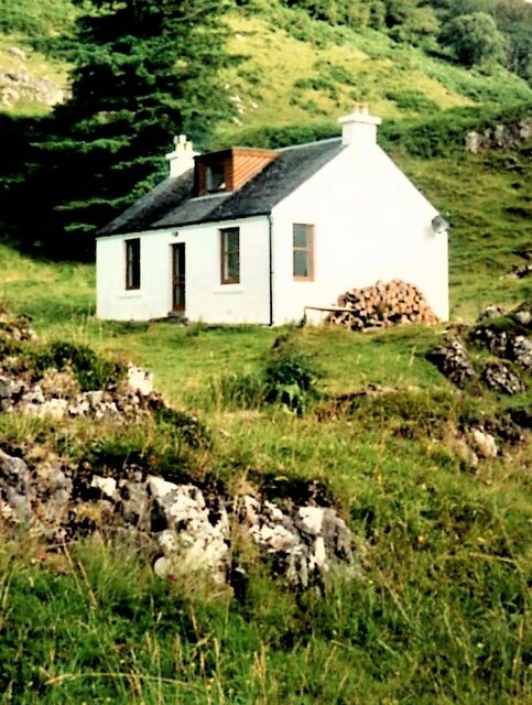
Port Nighean an Righ is a picturesque coastal area located in Argyllshire, Scotland. Situated on the west coast of the country, it is renowned for its stunning scenery and tranquil atmosphere. The name "Port Nighean an Righ" translates to "The King's Daughter's Port" in English.
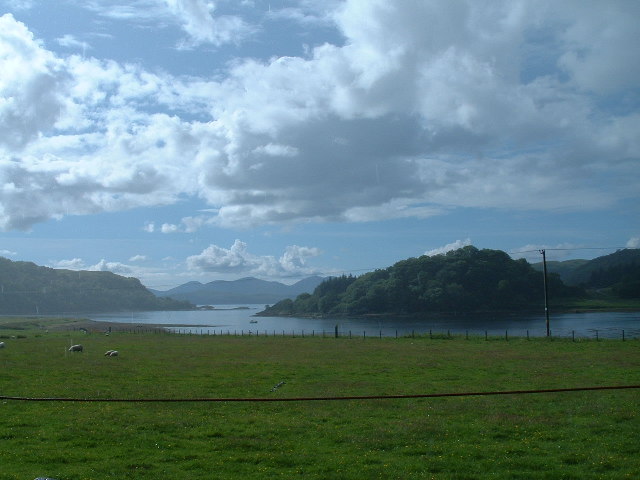
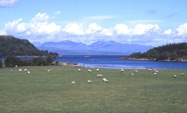
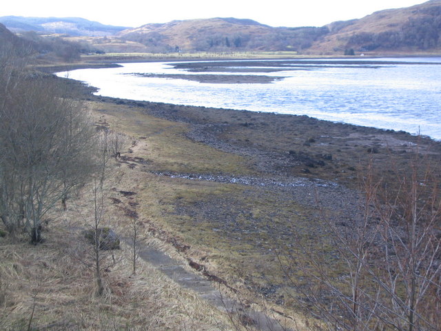
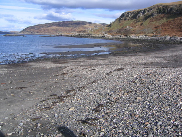
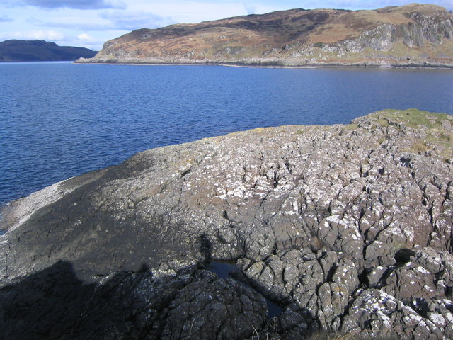
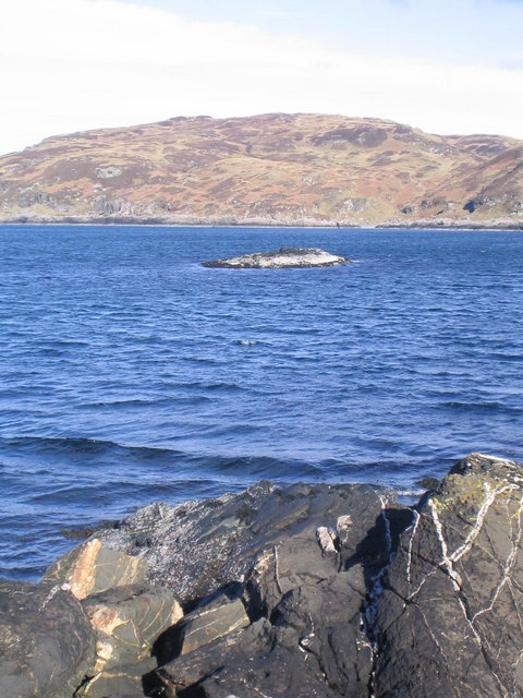
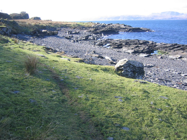
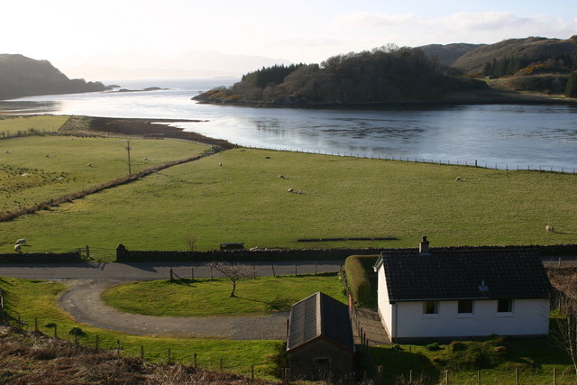
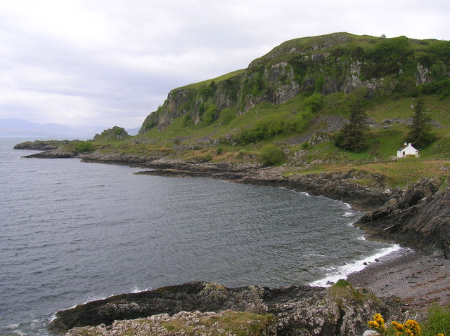
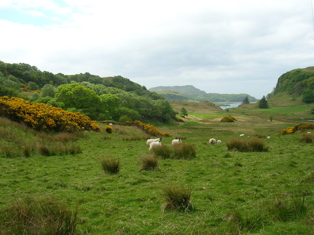
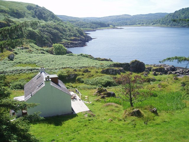
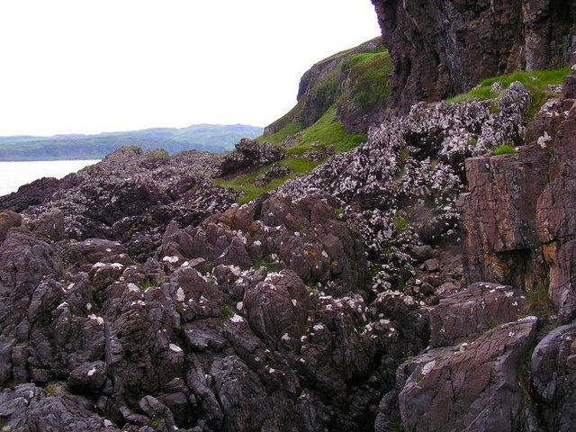
This area is primarily characterized by its beautiful sea, estuary, and creek. The sea surrounding Port Nighean an Righ is part of the Atlantic Ocean, offering breathtaking views and a diverse marine ecosystem. The crystal-clear waters are home to an array of marine life, including seals, dolphins, and various fish species.
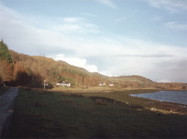
The estuary at Port Nighean an Righ is formed where the river meets the sea. This creates a unique habitat for both marine and freshwater species, making it a popular spot for fishing enthusiasts and nature lovers. The estuary is also an important breeding ground for various bird species, adding to the area's natural beauty.
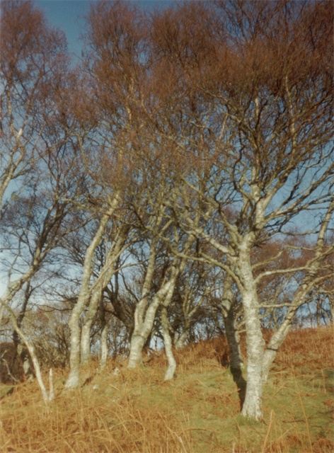
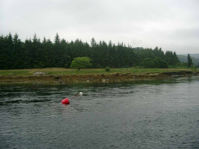
Nestled within the landscape is a charming creek, which winds its way through the countryside. The creek is fed by freshwater streams and provides a habitat for a variety of plant and animal species. Visitors can explore the creek by foot or small boat, immersing themselves in the tranquility of the surroundings.
In addition to its natural attractions, Port Nighean an Righ offers visitors a range of recreational activities. These include hiking along the coastal paths, bird watching, fishing, and simply enjoying the peaceful ambiance. The area is also home to a number of quaint villages and historic sites, allowing visitors to delve into the rich history and culture of the region.
Overall, Port Nighean an Righ in Argyllshire is a captivating coastal area that offers visitors a unique blend of natural beauty, wildlife, and cultural heritage.
If you have any feedback on the listing, please let us know in the comments section below.
Port Nighean an Righ Images
Images are sourced within 2km of 56.355465/-5.5352961 or Grid Reference NM8123. Thanks to Geograph Open Source API. All images are credited.


Port Nighean an Righ is located at Grid Ref: NM8123 (Lat: 56.355465, Lng: -5.5352961)
Unitary Authority: Argyll and Bute
Police Authority: Argyll and West Dunbartonshire
What 3 Words
///burglars.dives.internet. Near Oban, Argyll & Bute
Nearby Locations
Related Wikis
Ardentallen
Ardentallen (Scottish Gaelic: Àird an t-Sàilein) is a village in Argyll and Bute, Scotland. == References ==
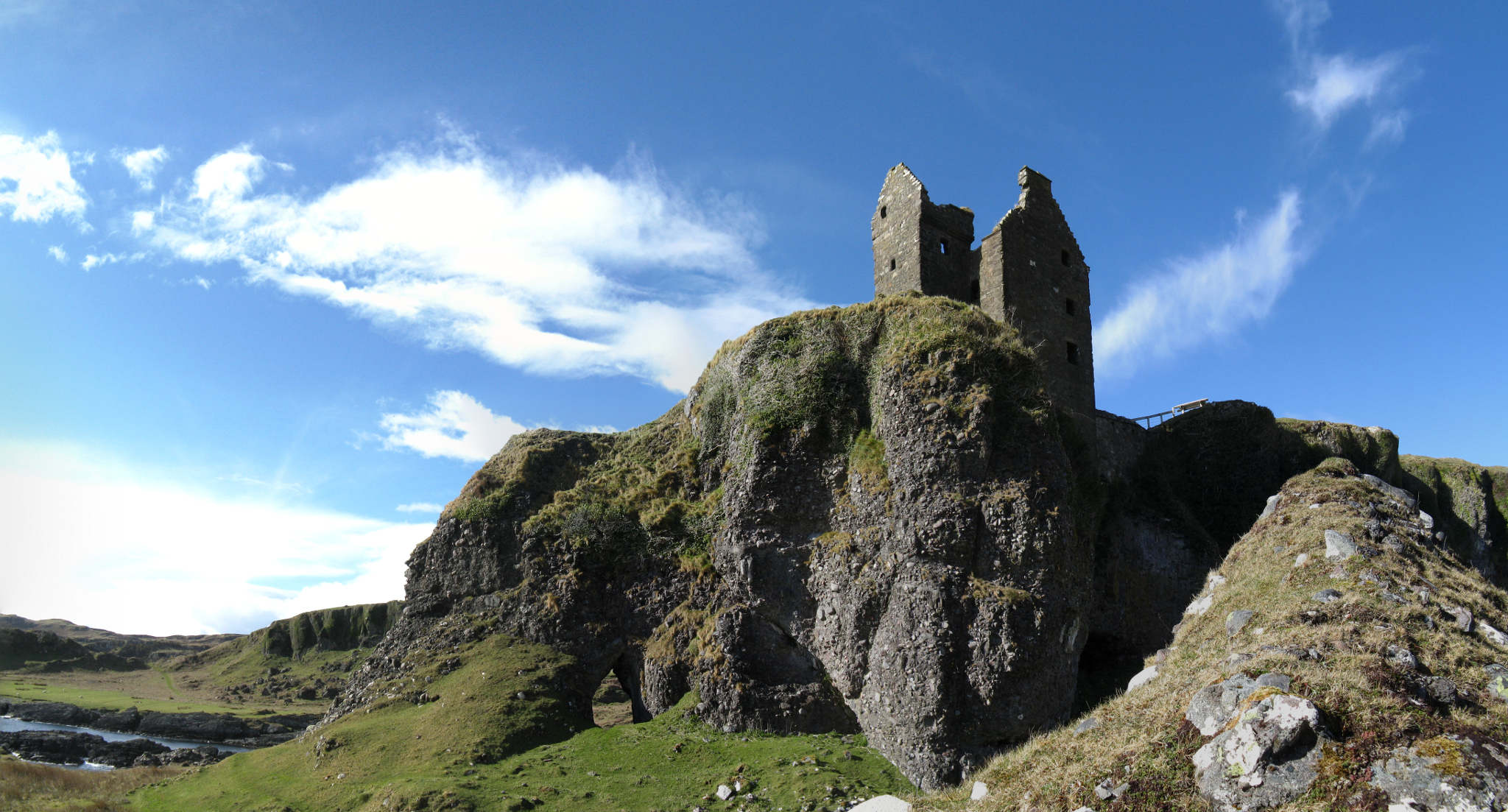
Gylen Castle
Gylen Castle is a ruined castle, or tower house, at the south end of the island of Kerrera in Argyll and Bute, Scotland, on a promontory overlooking the...

Kerrera
Kerrera (; Scottish Gaelic: Cearara or Cearrara) is an island in the Scottish Inner Hebrides, close to the town of Oban. In 2016 it had a population of...

Battle of Lagganmore
The Battle of Lagganmore took place in 1646 at Lagganmore in Glen Euchar, west of Loch Scammadale. It was part of the Wars of the Three Kingdoms, though...
Nearby Amenities
Located within 500m of 56.355465,-5.5352961Have you been to Port Nighean an Righ?
Leave your review of Port Nighean an Righ below (or comments, questions and feedback).