Sgeir a' Chopain

Island in Argyllshire

Scotland

Sgeir a' Chopain

Coast near Aird na Cuile From the MV Hebridean Isles on a journey from Oban to Colonsay.
Coast near Aird na Cuile Credit: Andrew Abbott

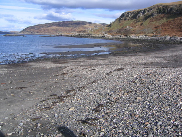
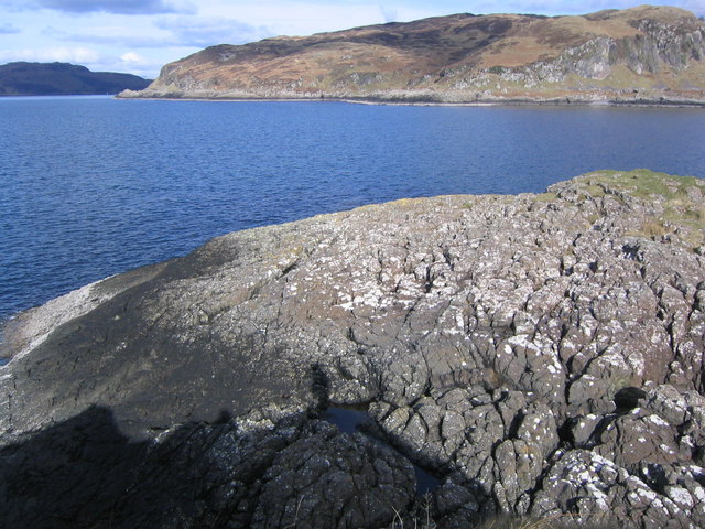
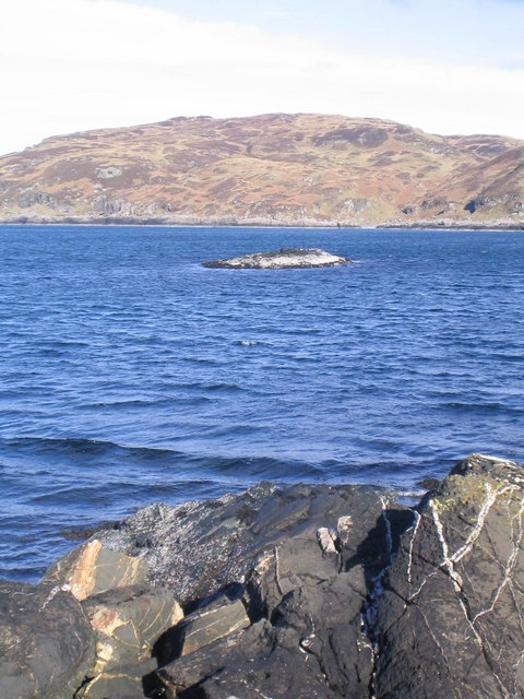
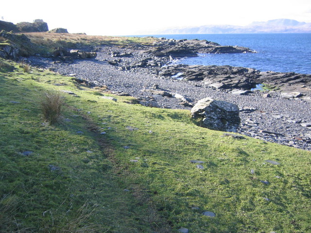
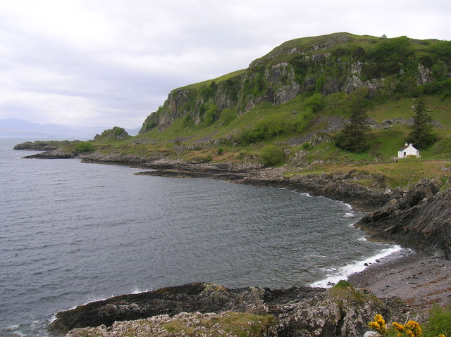
Sgeir a' Chopain is a small uninhabited island located off the coast of Argyllshire, Scotland. It lies approximately 1.5 miles southwest of the Isle of Mull and is part of the Inner Hebrides archipelago. The island is known for its rugged and rocky terrain, with its highest point reaching an elevation of about 127 feet.

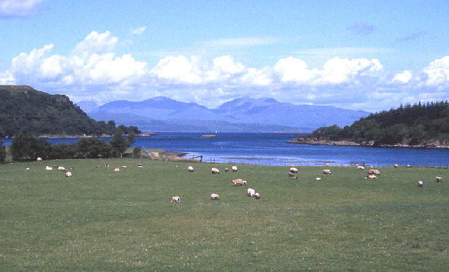
Covering an area of around 15 acres, Sgeir a' Chopain is primarily composed of basalt rock, which gives it a distinctive dark appearance. The island is surrounded by clear turquoise waters and offers breathtaking views of the surrounding landscape.

Despite its small size, Sgeir a' Chopain is home to a variety of bird species, making it a popular spot for birdwatchers. Visitors can often observe sea birds such as gulls, fulmars, and razorbills nesting on the cliffs and rocky outcrops. The island is also a sanctuary for seals and occasionally, otters can be spotted playing in the surrounding waters.

Access to Sgeir a' Chopain is mainly by boat, with several charter companies offering tours to the island. Due to its remote location, there are no facilities or amenities on the island, making it a perfect destination for those seeking solitude and tranquility. Visitors are advised to bring their own provisions and take appropriate safety precautions when exploring the island.

Overall, Sgeir a' Chopain is a picturesque and secluded island, offering a unique opportunity to experience the unspoiled beauty of the Scottish Hebrides.

If you have any feedback on the listing, please let us know in the comments section below.

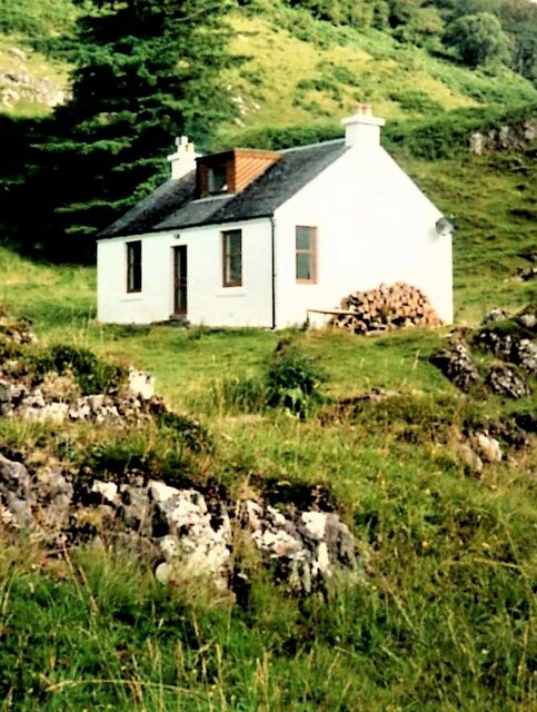
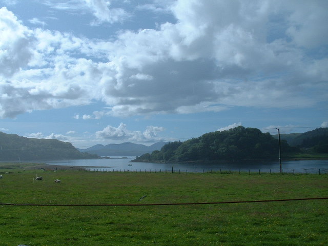
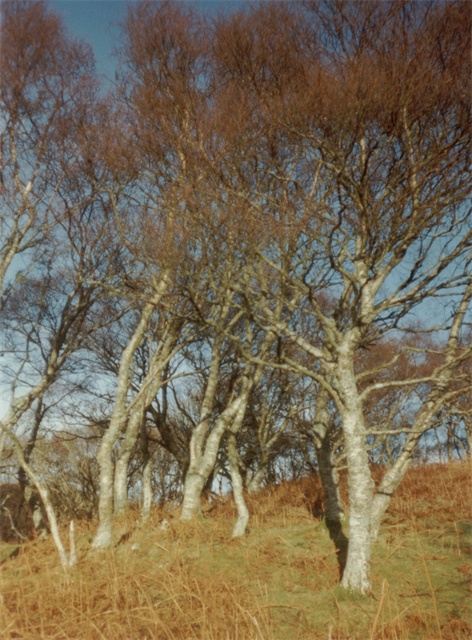
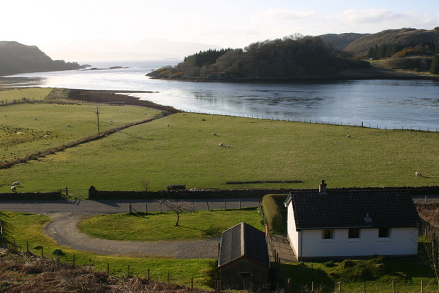
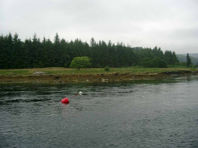
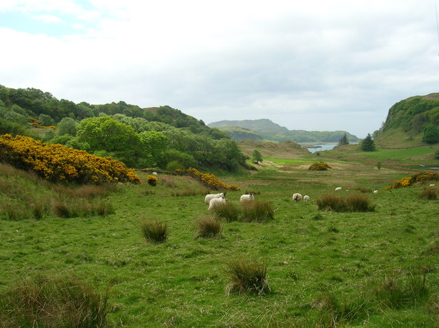
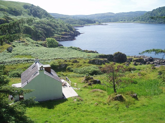
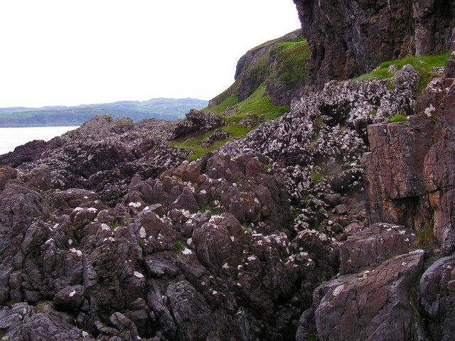
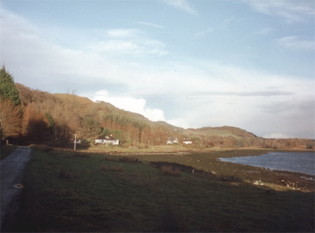
Sgeir a' Chopain Images

Images are sourced within 2km of 56.35653/-5.5367228 or Grid Reference NM8123. Thanks to Geograph Open Source API. All images are credited.

Coast near Aird na Cuile From the MV Hebridean Isles on a journey from Oban to Colonsay.
Coast near Aird na Cuile
From the MV Hebridean Isles on a journey from Oban to Colonsay.
'Ring of Bright Water' (film location) - Minard Point Tigh Beg Croft and this part of the coastline at the entrance to Loch Feochan was used in the 1968 filming of 'Ring of Bright Water'.
'Ring of Bright Water' (film location) - Minard Point
Tigh Beg Croft and this part of the coastline at the entrance to Loch Feochan was used in the 1968 filming of 'Ring of Bright Water'.
Ardentallen Point Loch Feochan looking West towards the Firth of Lorne
Ardentallen Point
Loch Feochan looking West towards the Firth of Lorne
Trees Ardentallan Point Mature silver birches.
Trees Ardentallan Point
Mature silver birches.
Shore of Loch Feochan At Ardentallan.
Shore of Loch Feochan
At Ardentallan.
Entrance to Loch Feochan, Mull beyond
Barrnacarry Beach
Barrnacarry Beach
Minard Point Across the mouth of Loch Feochan towards Minard Point
Minard Point
Across the mouth of Loch Feochan towards Minard Point
Barrnacarry Bay Rock off the west side of Barrnacarry Bay
Barrnacarry Bay
Rock off the west side of Barrnacarry Bay
Foreshore Beach and raised beach near Barrnacarry Bay
Foreshore
Beach and raised beach near Barrnacarry Bay
Looking seawards from Loch Feochan Looking NW from position
Looking seawards from Loch Feochan
Looking NW from position
Port-hand buoy on the passage into Loch Feochan A grey heron is just visible on the shore in the background.
Port-hand buoy on the passage into Loch Feochan
A grey heron is just visible on the shore in the background.
Port an t-Sruthain with Minard Point behind The bothy in the foreground was used in the filming of 'Ring of Bright Water' (1969) by Gavin Maxwell starring Bill Travers and Virginia McKenna.
Port an t-Sruthain with Minard Point behind
The bothy in the foreground was used in the filming of 'Ring of Bright Water' (1969) by Gavin Maxwell starring Bill Travers and Virginia McKenna.
Grazing and Gorse NW of Minard Point
Tigh Beg
Tigh Beg
Coastal Rocks Just above high tide and north of Minard Point.
Coastal Rocks
Just above high tide and north of Minard Point.
Minard Point Looking out to sea from just above Minard Point, Insh Island can be seen on the horizon.
Minard Point
Looking out to sea from just above Minard Point, Insh Island can be seen on the horizon.
Towards Minard Point View looking south towards Minard Point. The boat that can be seen is just off the point itself. Beinn Mhor rises in the distance.
Towards Minard Point
View looking south towards Minard Point. The boat that can be seen is just off the point itself. Beinn Mhor rises in the distance.
Show me another place!

Sgeir a' Chopain is located at Grid Ref: NM8123 (Lat: 56.35653, Lng: -5.5367228)

Unitary Authority: Argyll and Bute

Police Authority: Argyll and West Dunbartonshire

What 3 Words

///quote.incur.bond. Near Oban, Argyll & Bute

Related Wikis

Ardentallen

Ardentallen (Scottish Gaelic: Àird an t-Sàilein) is a village in Argyll and Bute, Scotland. == References ==
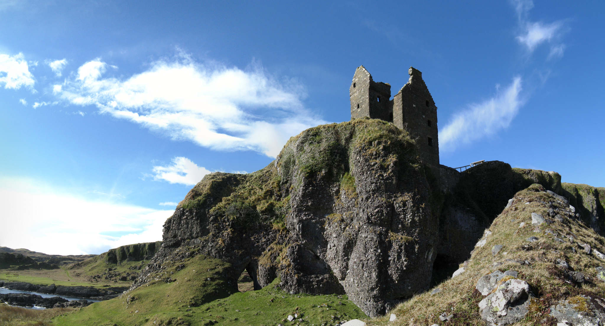
Gylen Castle

Gylen Castle is a ruined castle, or tower house, at the south end of the island of Kerrera in Argyll and Bute, Scotland, on a promontory overlooking the...

Kerrera

Kerrera (; Scottish Gaelic: Cearara or Cearrara) is an island in the Scottish Inner Hebrides, close to the town of Oban. In 2016 it had a population of...

Battle of Lagganmore

The Battle of Lagganmore took place in 1646 at Lagganmore in Glen Euchar, west of Loch Scammadale. It was part of the Wars of the Three Kingdoms, though...

Nearby Amenities

Located within 500m of 56.35653,-5.5367228
Cnoc na Faire
Ele: 100
Natural: peak
Lat/Long: 56.3561834/-5.5295615
The data included in this document is from www.openstreetmap.org. The data is made available under ODbL.

Have you been to Sgeir a' Chopain?

Leave your review of Sgeir a' Chopain below (or comments, questions and feedback).