Dùn Mhic Laitheann

Heritage Site in Inverness-shire

Scotland

Dùn Mhic Laitheann

Crogearraidh na Thobha Boggy hill top on the east coast of North Uist.
Crogearraidh na Thobha Credit: Richard Webb

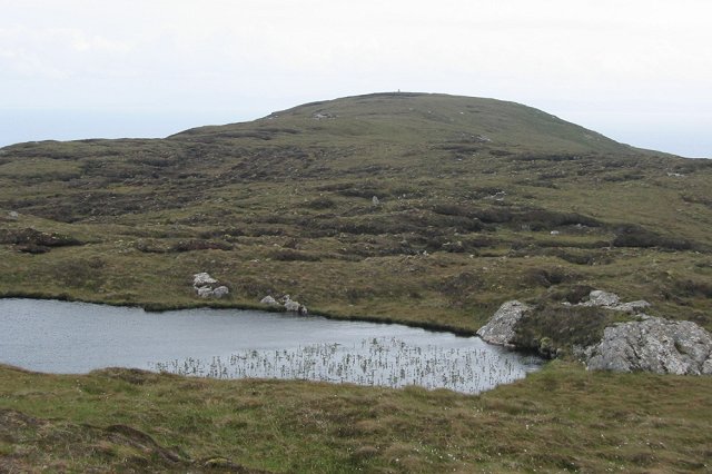
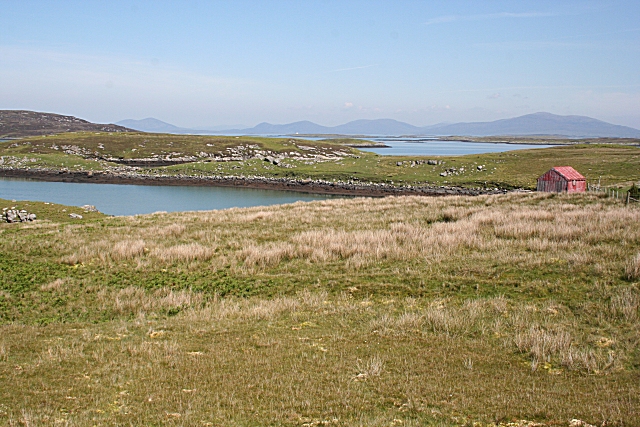
Dùn Mhic Laitheann, located in Inverness-shire, Scotland, is a significant heritage site with a rich historical past. The site is an ancient hillfort situated on a rocky outcrop overlooking the River Beauly. It is believed to have been occupied during the Iron Age, approximately 2,000 years ago.

The hillfort consists of a series of impressive earthworks and defensive features, including stone ramparts and ditches, which enclose an area of approximately 1.5 hectares. These defensive structures were likely constructed to protect the inhabitants from potential threats and to control access to the site.

Archaeological excavations at Dùn Mhic Laitheann have revealed numerous artifacts, including pottery shards, tools, and animal bones, providing valuable insights into the daily lives of the people who once inhabited the area. The discoveries suggest that the site was a thriving settlement, engaged in farming, hunting, and other subsistence activities.

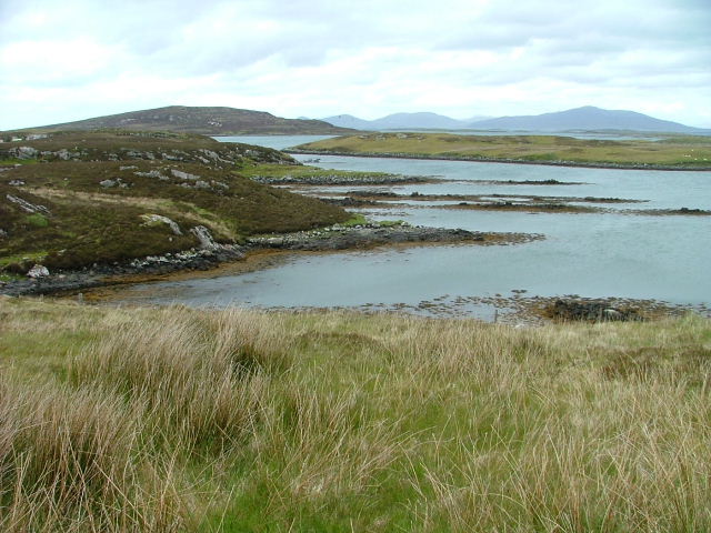
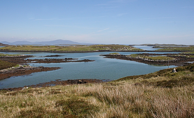
The location of Dùn Mhic Laitheann offers stunning panoramic views of the surrounding landscape, highlighting its strategic importance in the past. From the hillfort, visitors can appreciate the natural beauty of Inverness-shire, with its rolling hills, lush valleys, and the meandering River Beauly.

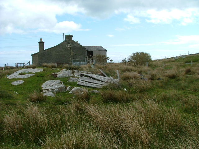
Today, Dùn Mhic Laitheann is recognized as an important heritage site, offering visitors a glimpse into Scotland's ancient past. It provides a unique opportunity to explore the remains of an Iron Age hillfort and to appreciate the historical significance of the area.

If you have any feedback on the listing, please let us know in the comments section below.

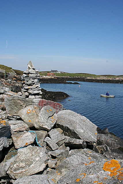
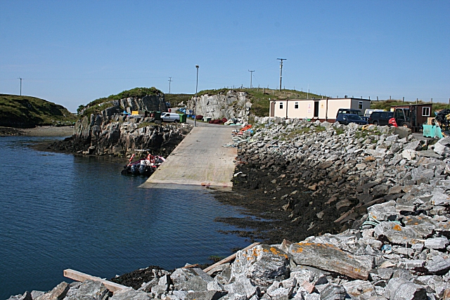
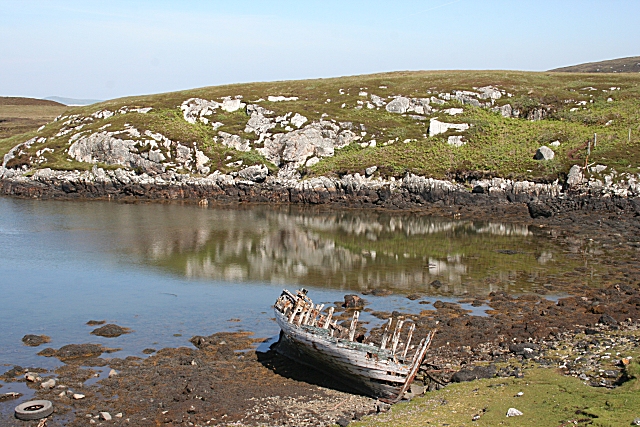
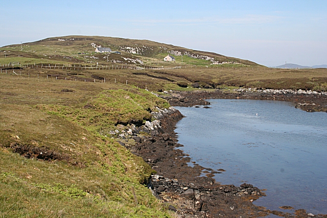
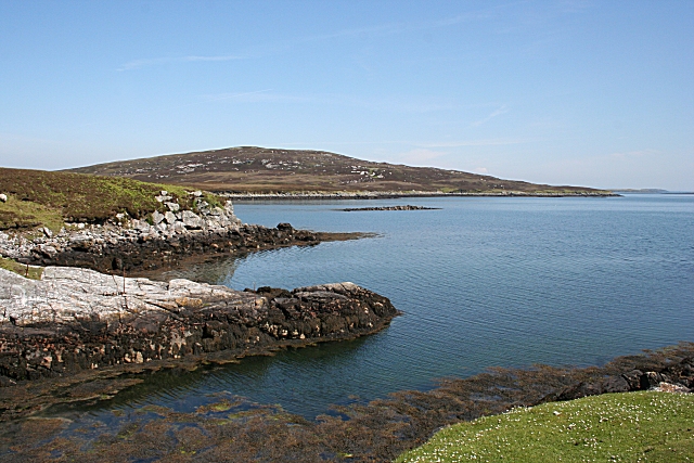
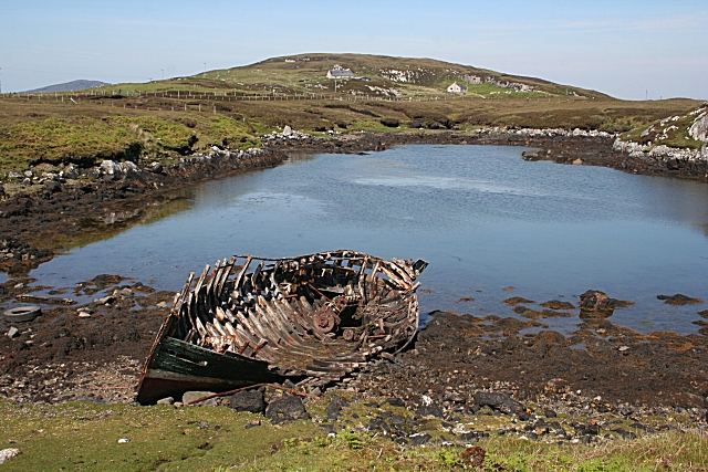
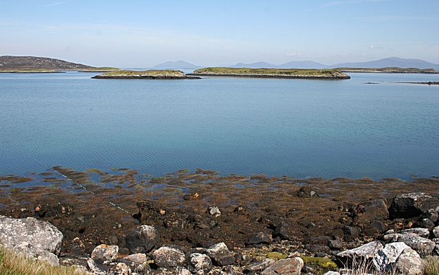
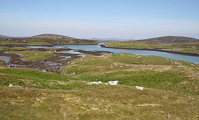
Dùn Mhic Laitheann Images

Images are sourced within 2km of 57.65/-7.072 or Grid Reference NF9773. Thanks to Geograph Open Source API. All images are credited.

Crogearraidh na Thobha Boggy hill top on the east coast of North Uist.
Crogearraidh na Thobha
Boggy hill top on the east coast of North Uist.
Deserted Crofthouse At Bàgh Chàise, a small crofting settlement on North Uist.
Deserted Crofthouse
At Bàgh Chàise, a small crofting settlement on North Uist.
Inlet on The Sound of Harris North of Bàgh Chàise, a small crofting settlement.
Inlet on The Sound of Harris
North of Bàgh Chàise, a small crofting settlement.
Strom. Looking towards Orasaigh Island.
Strom.
Looking towards Orasaigh Island.
Track and House On Bágh a' Cháise.
Track and House
On Bágh a' Cháise.
Cheese Bay Looking north from the harbour wall at Cheese Bay. This style of tall cairn seems popular in the Hebrides.
Cheese Bay
Looking north from the harbour wall at Cheese Bay. This style of tall cairn seems popular in the Hebrides.
Bàgh a'Chàise A fisherman rows ashore from his boat, moored close to the Cheese Bay harbour wall. On the right is the island of Taghaidh, in the next square.
Bàgh a'Chàise
A fisherman rows ashore from his boat, moored close to the Cheese Bay harbour wall. On the right is the island of Taghaidh, in the next square.
Cheese Bay Looking past the south end of the island of Taghaigh towards the distant mountains of South Harris.
Cheese Bay
Looking past the south end of the island of Taghaigh towards the distant mountains of South Harris.
Cheese Bay Slipway This slipway is used by Marine Harvest for access of the fish farms they operate in Bàgh a'Chàise and further offshore.
Cheese Bay Slipway
This slipway is used by Marine Harvest for access of the fish farms they operate in Bàgh a'Chàise and further offshore.
Going Nowhere The hulk of a boat lies rotting in a tidal inlet near Tigh-na-Hoe.
Going Nowhere
The hulk of a boat lies rotting in a tidal inlet near Tigh-na-Hoe.
Tobha Beag Not to be confused with the similarly named, and much better known, place in South Uist, this is almost the end of the road.
Tobha Beag
Not to be confused with the similarly named, and much better known, place in South Uist, this is almost the end of the road.
Island of Taghaigh There is not much of land on the North Uist shore in this square, but this side of the offshore island of Taghaigh, in the background here, is in square.
Island of Taghaigh
There is not much of land on the North Uist shore in this square, but this side of the offshore island of Taghaigh, in the background here, is in square.
Going Nowhere This is the same boat as in <a href="https://www.geograph.org.uk/photo/1343501">NF9574 : Going Nowhere</a>, with the houses at Tobha Beag in the background beyond the tidal inlet.
Going Nowhere
This is the same boat as in NF9574 : Going Nowhere, with the houses at Tobha Beag in the background beyond the tidal inlet.
Eileana Dubha Eileana Dubha means 'dark islands' and is applied to the two nearest islets. The distant hills are in South Harris.
Eileana Dubha
Eileana Dubha means 'dark islands' and is applied to the two nearest islets. The distant hills are in South Harris.
Strom and Orasaigh The land on the other side of the inlet of Strom, on the right, is yet another island named Orasaigh. I wonder just how many Hebridean islands bear this same name?
Strom and Orasaigh
The land on the other side of the inlet of Strom, on the right, is yet another island named Orasaigh. I wonder just how many Hebridean islands bear this same name?
Strom This inlet off Bàgh a'Chàise is named on the maps as Strom.
Strom
This inlet off Bàgh a'Chàise is named on the maps as Strom.
Bàgh a'Chàise The headland to the left of the red hut separates the inlet of Strom from Bàgh a'Chàise (Cheese Bay). In the distance are the hills of South Harris.
Bàgh a'Chàise
The headland to the left of the red hut separates the inlet of Strom from Bàgh a'Chàise (Cheese Bay). In the distance are the hills of South Harris.
Orasaigh The island on the other side of the inlet is yet another one named Orasaigh. I wonder just how many Hebridean islands bear this same name?
Orasaigh
The island on the other side of the inlet is yet another one named Orasaigh. I wonder just how many Hebridean islands bear this same name?
Show me another place!

Dùn Mhic Laitheann is located at Grid Ref: NF9773 (Lat: 57.65, Lng: -7.072)

Unitary Authority: Na h-Eileanan an Iar

Police Authority: Highlands and Islands

What 3 Words

///confusion.residual.resorting. Near Lochmaddy, Na h-Eileanan Siar

Related Wikis

Hermetray

Hermetray (Scottish Gaelic: Theàrnatraigh) is an uninhabited island off North Uist, in the Outer Hebrides of Scotland. == Geography and geology == Hermetray...

Tahay

Tahay (Scottish Gaelic: Taghaigh) is an island in the Outer Hebrides of Scotland. The name originates from the Old Norse tagg-øy meaning island with a...

South Lewis, Harris and North Uist National Scenic Area

South Lewis, Harris and North Uist is a large national scenic area (NSA) in the Western Isles of Scotland. It is one of 40 such areas in Scotland, which...

Sursaigh

Sursaigh (Scottish Gaelic: Sursaigh) is an island off North Uist in the Sound of Harris, Scotland. It lies 8 kilometres (5.0 mi) northeast of the village...

Nearby Amenities

Located within 500m of 57.65,-7.072
Ceann a' Mhuir
Natural: cape
Lat/Long: 57.6480876/-7.0752329
Passing Place
Lat/Long: 57.6466521/-7.0757946
Power: pole
Lat/Long: 57.6465858/-7.0759368
Power: pole
Lat/Long: 57.6464609/-7.0768031
Power: pole
Lat/Long: 57.6467745/-7.0747647
The data included in this document is from www.openstreetmap.org. The data is made available under ODbL.

Have you been to Dùn Mhic Laitheann?

Leave your review of Dùn Mhic Laitheann below (or comments, questions and feedback).