Dùn Mhiùghlaigh

Heritage Site in Inverness-shire

Scotland

Dùn Mhiùghlaigh

Mingulay Bay and schoolhouse A visit possible by the small Barra boat that took 20 or so folk on a tour of the southern Hebrides with time to explore the cliffs of Mingulay.
Mingulay Bay and schoolhouse Credit: Julian Paren

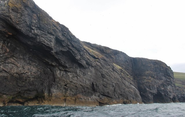
Dùn Mhiùghlaigh, located in Inverness-shire, Scotland, is a historic heritage site that holds significant cultural and historical importance. The site is an ancient hill fort, situated on the northern shore of Loch Ness, near the village of Drumnadrochit.

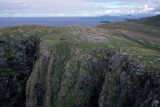
The hill fort, believed to have been built during the Iron Age, offers breathtaking views of the surrounding landscape, including the expansive Loch Ness. The fort is situated on a hilltop, providing strategic advantages such as natural defenses and excellent visibility of the surrounding area.

Dùn Mhiùghlaigh is characterized by a circular stone wall that encloses an area of approximately 0.4 hectares. The wall, built with large stones stacked without mortar, stands as a testament to the skilled craftsmanship of ancient inhabitants. Inside the fort, remnants of structures such as dwellings and storage areas can still be seen, providing insights into the daily lives of the people who once inhabited the site.

This heritage site has been the subject of archaeological investigations, uncovering artifacts that shed light on the site's history and its significance. Excavations have revealed pottery fragments, stone tools, and evidence of metalworking activities, suggesting a thriving community that engaged in trade and craft.

Today, Dùn Mhiùghlaigh serves as a popular tourist attraction, allowing visitors to explore the ancient fort and learn about its rich history. Interpretive signs and displays provide information on the site's significance, making it a valuable educational resource. The breathtaking natural beauty of the surrounding area adds to the overall appeal of Dùn Mhiùghlaigh, making it a must-visit destination in Inverness-shire for history enthusiasts and nature lovers alike.

If you have any feedback on the listing, please let us know in the comments section below.

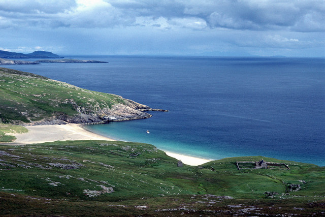
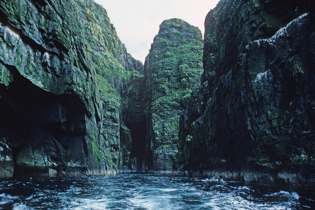
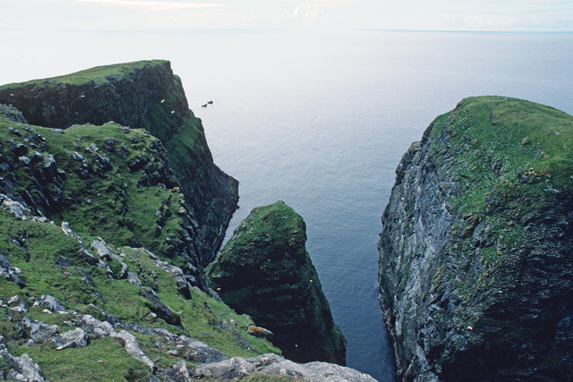
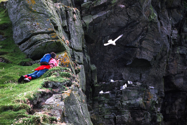
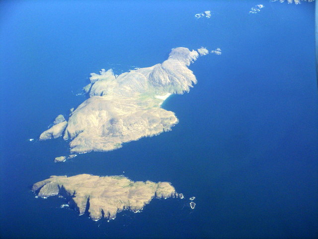
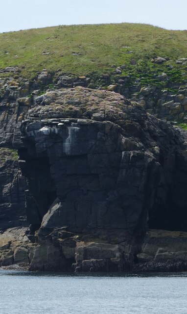
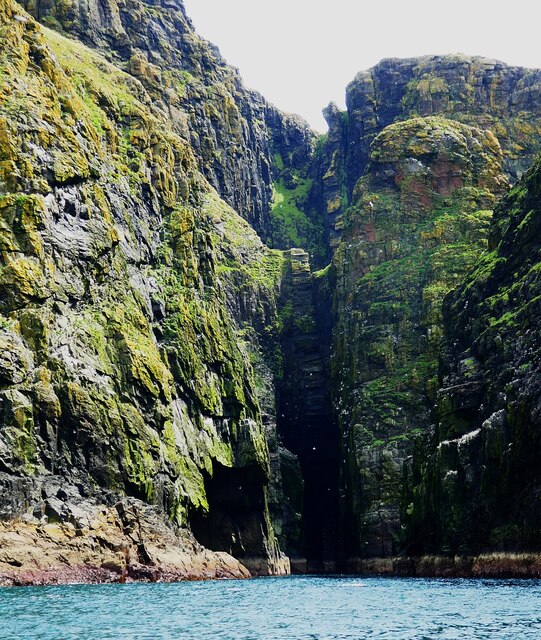
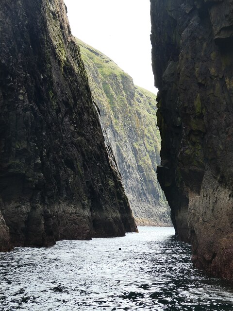
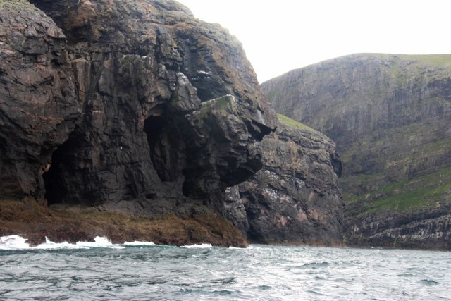
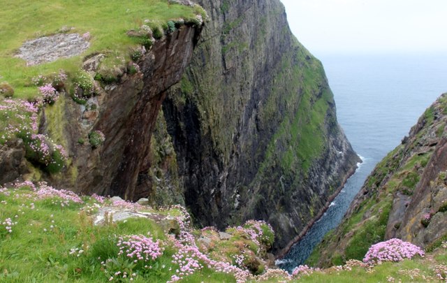
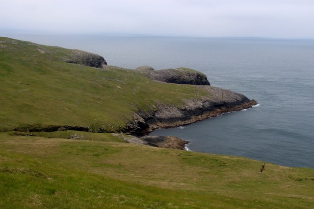
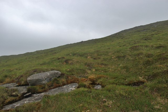
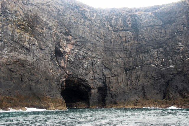
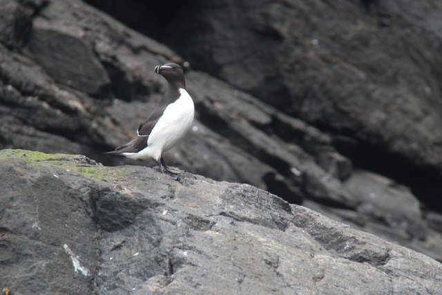
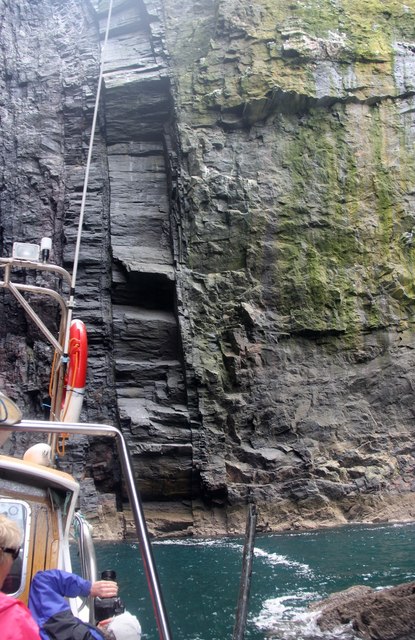
Dùn Mhiùghlaigh Images

Images are sourced within 2km of 56.805/-7.662 or Grid Reference NL5482. Thanks to Geograph Open Source API. All images are credited.

Mingulay Bay and schoolhouse A visit possible by the small Barra boat that took 20 or so folk on a tour of the southern Hebrides with time to explore the cliffs of Mingulay.
Mingulay Bay and schoolhouse
A visit possible by the small Barra boat that took 20 or so folk on a tour of the southern Hebrides with time to explore the cliffs of Mingulay.
Passage beside Arnamuil and Mingulay Looking back after the fastest left turn by a boat I have experienced. The channel narrows to just a little wider than a small 20-passenger boat.  Bob Jones shared the same experience from August 2006.  <a href="https://www.geograph.org.uk/photo/228967">NL5482 : Natural arch, Mingulay</a>
Passage beside Arnamuil and Mingulay
Looking back after the fastest left turn by a boat I have experienced. The channel narrows to just a little wider than a small 20-passenger boat. Bob Jones shared the same experience from August 2006. NL5482 : Natural arch, Mingulay
Passage between Arnamuil and Gunamuil Later that day we were to sail up the passage.  Dun Mingulay lies at the end of the left ridge.
Passage between Arnamuil and Gunamuil
Later that day we were to sail up the passage. Dun Mingulay lies at the end of the left ridge.
Cliffs of Mingulay Precipitous cliffs descending to narrow channels.
Cliffs of Mingulay
Precipitous cliffs descending to narrow channels.
Birdwatching on the Mingulay cliffs A very calm day so no problems for the birds foraging.
Birdwatching on the Mingulay cliffs
A very calm day so no problems for the birds foraging.
Mingulay/Miughlaigh and Berneray/Bearnaraigh An aerial view from the south. Mingulay is the larger of the two islands.
Mingulay/Miughlaigh and Berneray/Bearnaraigh
An aerial view from the south. Mingulay is the larger of the two islands.
Gèarum Beag - Sphinx-like rock This rock feature looks to me as though Marty Feldman had posed for a Scottish version of the Sphinx.
Gèarum Beag - Sphinx-like rock
This rock feature looks to me as though Marty Feldman had posed for a Scottish version of the Sphinx.
Mingulay - Sloc Hèisegeo The west coast of Mingulay has amazing cliff scenery such as this at Sloc Hèisegeo.
Mingulay - Sloc Hèisegeo
The west coast of Mingulay has amazing cliff scenery such as this at Sloc Hèisegeo.
Mingulay - Sloc Dubh an Duin One of many superb inlets on the western coast of Mingulay. There was an amazing range of colours in the rocks - some the actual rock colours, some from the vegetation ... and a splash of white from the guano.
Mingulay - Sloc Dubh an Duin
One of many superb inlets on the western coast of Mingulay. There was an amazing range of colours in the rocks - some the actual rock colours, some from the vegetation ... and a splash of white from the guano.
Mingulay - The narrow gap separating Arnamul from Mingulay This narrow gap is what makes the 122m (400') tall stack of Arnamul a separate islet from the main island of Mingulay. The coastal scenery on the west coast of Mingulay rivals that of the St Kilda archipelago.
Mingulay - The narrow gap separating Arnamul from Mingulay
This narrow gap is what makes the 122m (400') tall stack of Arnamul a separate islet from the main island of Mingulay. The coastal scenery on the west coast of Mingulay rivals that of the St Kilda archipelago.
The Western cliffs of Mingulay Liànamuil is cut off from the main cliff by a very narrow cleft
The Western cliffs of Mingulay
Liànamuil is cut off from the main cliff by a very narrow cleft
A deep geo splits Mingulay's western rampart Sea pink in full bloom on the edge. Not a place to lose your footing!
A deep geo splits Mingulay's western rampart
Sea pink in full bloom on the edge. Not a place to lose your footing!
Guarsay Beag on Mingulay Bonxie breeding ground. One of these great Skuas can be seen at bottom right
Guarsay Beag on Mingulay
Bonxie breeding ground. One of these great Skuas can be seen at bottom right
The grassy slopes of Càrnan on Mingulay
The high western cliffs of Mingulay at Guarsaigh Mòr The tortured strata provide tenuous nesting sites for guillemots and razorbills. The seas from across the Atlantic penetrate any weakness in the rock
The high western cliffs of Mingulay at Guarsaigh Mòr
The tortured strata provide tenuous nesting sites for guillemots and razorbills. The seas from across the Atlantic penetrate any weakness in the rock
A razorbill makes its annual landfall to breed on Mingulay
Navigating the passage behind Arnamul, a very tight corner A pair of rock dykes rise vertically through the main cliff
Navigating the passage behind Arnamul, a very tight corner
A pair of rock dykes rise vertically through the main cliff
Sròn an Dùin On top of this rock nose lie the remains of an ancient 'fort', hence the name.
Sròn an Dùin
On top of this rock nose lie the remains of an ancient 'fort', hence the name.
Show me another place!

Dùn Mhiùghlaigh is located at Grid Ref: NL5482 (Lat: 56.805, Lng: -7.662)

Unitary Authority: Na h-Eileanan an Iar

Police Authority: Highlands and Islands

What 3 Words

///vibrating.animals.others. Near CastleBay, Na h-Eileanan Siar

Related Wikis

Arnamul

Arnamul (Scottish Gaelic: Arnamuil) is a stack off the west coast of Mingulay in the Western Isles, Scotland. Although precipitous, sheep were grazed on...

Barra Isles

The Barra Isles, also known as the Bishop's Isles, are a small archipelago in the Outer Hebrides of Scotland. They lie south of the island of Barra, for...

Mingulay

Mingulay (Scottish Gaelic: Miughalaigh) is the second largest of the Bishop's Isles in the Outer Hebrides of Scotland. Located 12 nautical miles (22 kilometres...

Barra Head Lighthouse

Barra Head Lighthouse on Barra Head identifies the southern entrance to The Minch, roughly halfway between the Eilean Glas and Rinns of Islay lighthouses...

Nearby Amenities

Located within 500m of 56.805,-7.662
Dùn Mhiùghlaigh
Place: locality
Lat/Long: 56.8019452/-7.6617866
Gunamuil
Natural: cape
Lat/Long: 56.8047413/-7.6596837
The data included in this document is from www.openstreetmap.org. The data is made available under ODbL.

Have you been to Dùn Mhiùghlaigh ?

Leave your review of Dùn Mhiùghlaigh below (or comments, questions and feedback).