Arnamuil
Hill, Mountain in Inverness-shire
Scotland
Arnamuil
Arnamuil is a prominent hill located in Inverness-shire, Scotland. Situated in the western part of the county, it forms part of the wider Scottish Highlands region. With an elevation of approximately 915 meters (3,002 feet), Arnamuil stands as an impressive mountain in the landscape.
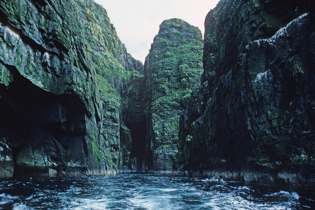
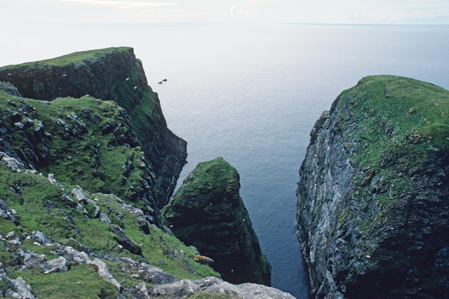
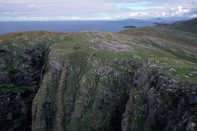
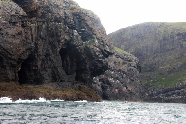
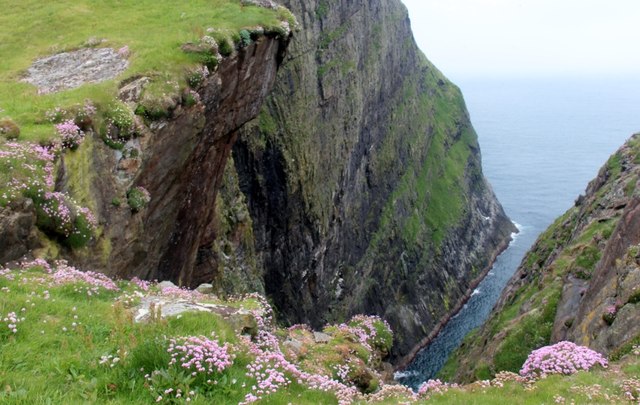
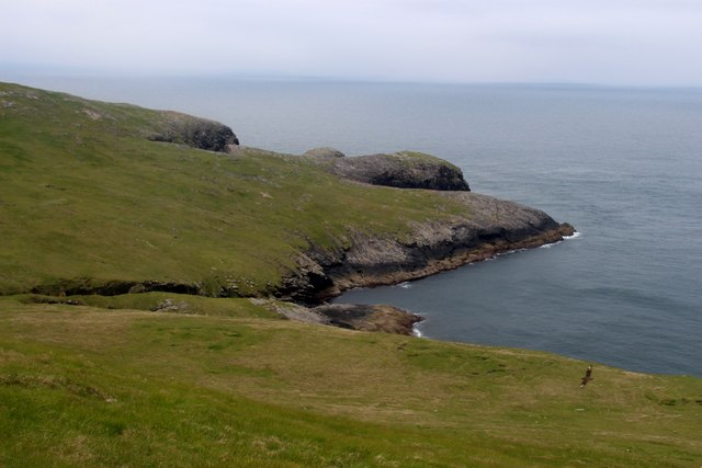
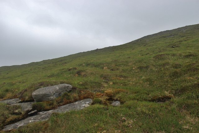
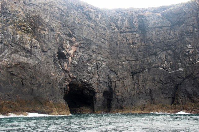
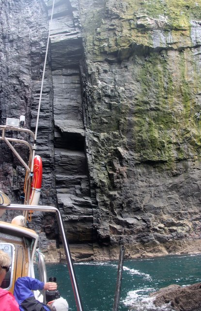
The hill is characterized by its rugged terrain, with steep slopes and rocky outcrops. Its summit offers breathtaking panoramic views of the surrounding countryside, including the nearby Loch Arkaig and Loch Lochy. On a clear day, it is even possible to catch a glimpse of the iconic Ben Nevis, the highest mountain in the British Isles.
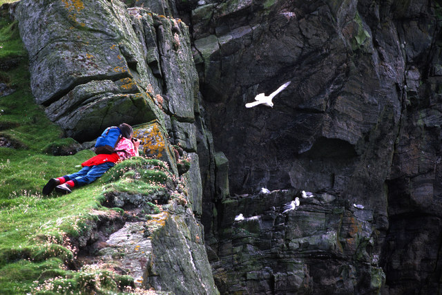
Arnamuil is a popular destination for outdoor enthusiasts, attracting hikers, mountaineers, and nature lovers alike. Several well-marked trails lead to the summit, catering to a range of skill levels. The ascent can be challenging, particularly in adverse weather conditions, so proper preparation and hiking gear are essential.
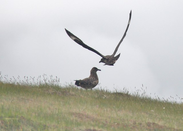
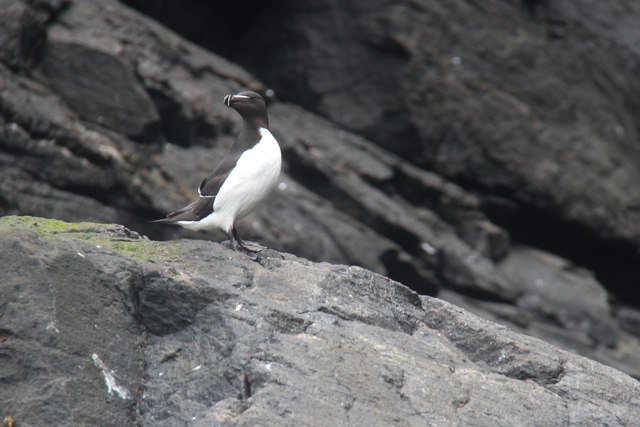
The hill is also known for its diverse flora and fauna. Its slopes are covered in heather, mosses, and grasses, providing a habitat for a variety of plant species. Wildlife is abundant, with the possibility of spotting red deer, mountain hares, and golden eagles among others.
Arnamuil is a place of natural beauty and tranquility, offering visitors a chance to connect with the stunning Scottish Highlands. Its ruggedness and stunning vistas make it a must-visit destination for those seeking adventure and exploration in Inverness-shire.
If you have any feedback on the listing, please let us know in the comments section below.
Arnamuil Images
Images are sourced within 2km of 56.805514/-7.662454 or Grid Reference NL5482. Thanks to Geograph Open Source API. All images are credited.

Arnamuil is located at Grid Ref: NL5482 (Lat: 56.805514, Lng: -7.662454)
Unitary Authority: Na h-Eileanan an Iar
Police Authority: Highlands and Islands
What 3 Words
///dried.fond.workforce. Near CastleBay, Na h-Eileanan Siar
Nearby Locations
Related Wikis

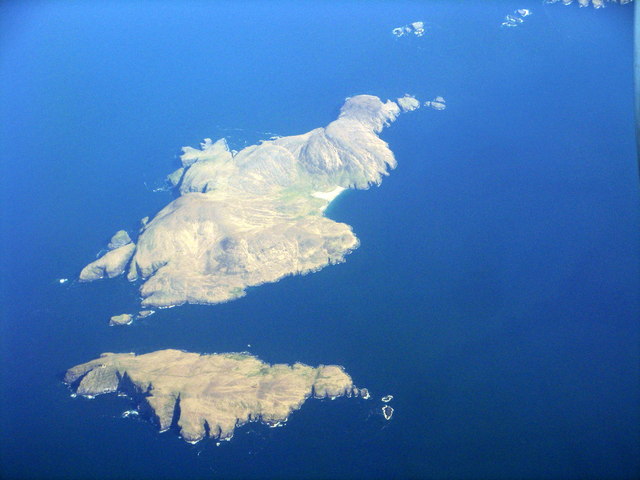
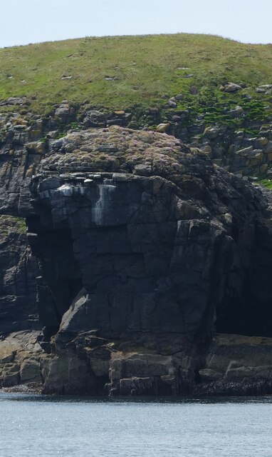
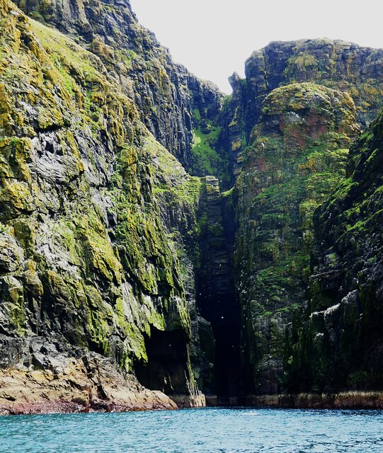
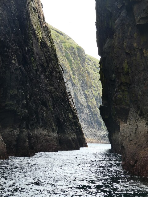
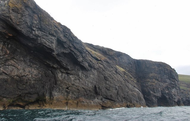
Arnamul
Arnamul (Scottish Gaelic: Arnamuil) is a stack off the west coast of Mingulay in the Western Isles, Scotland. Although precipitous, sheep were grazed on...

Barra Isles
The Barra Isles, also known as the Bishop's Isles, are a small archipelago in the Outer Hebrides of Scotland. They lie south of the island of Barra, for...

Mingulay
Mingulay (Scottish Gaelic: Miughalaigh) is the second largest of the Bishop's Isles in the Outer Hebrides of Scotland. Located 12 nautical miles (22 kilometres...

Barra Head Lighthouse
Barra Head Lighthouse on Barra Head identifies the southern entrance to The Minch, roughly halfway between the Eilean Glas and Rinns of Islay lighthouses...
Nearby Amenities
Located within 500m of 56.805514,-7.662454Have you been to Arnamuil?
Leave your review of Arnamuil below (or comments, questions and feedback).