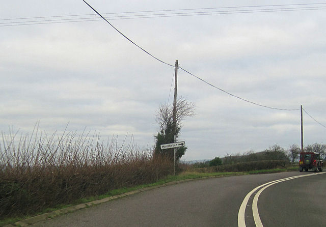
Menithwood

Settlement in Worcestershire Malvern Hills

England

Menithwood

Footpath to Frith Common Footpath to Frith Common from Dumbleton Lane.
Footpath to Frith Common Credit: Philip Halling

Menithwood is a small village located in the county of Worcestershire, England. Situated approximately 10 miles northwest of the city of Worcester, it falls within the administrative district of Malvern Hills. With a population of around 300 residents, Menithwood is a close-knit community renowned for its peaceful and picturesque surroundings.

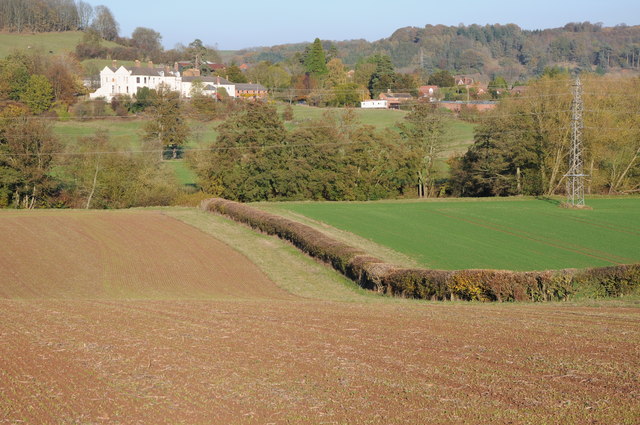
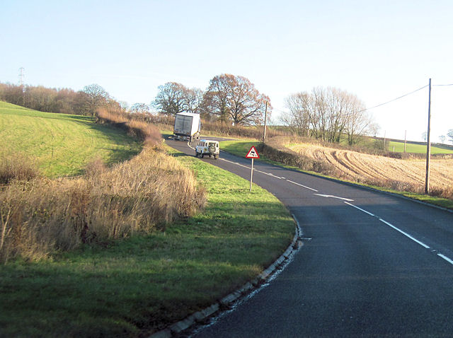
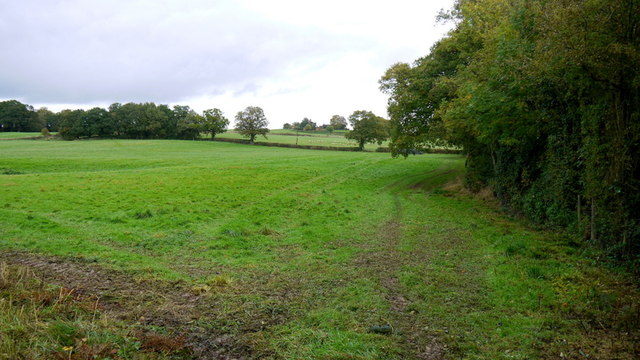
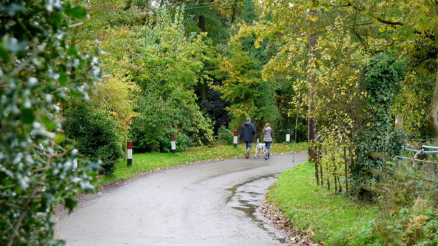
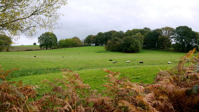
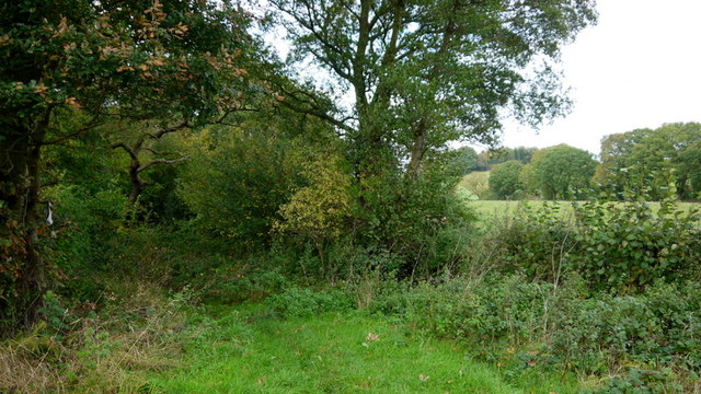
The village is nestled amidst the scenic Malvern Hills, an Area of Outstanding Natural Beauty, offering breathtaking views and ample opportunities for outdoor activities such as hiking, cycling, and horse riding. Menithwood is also surrounded by lush green fields and woodlands, providing a tranquil setting that attracts nature enthusiasts and visitors seeking a peaceful retreat from urban life.

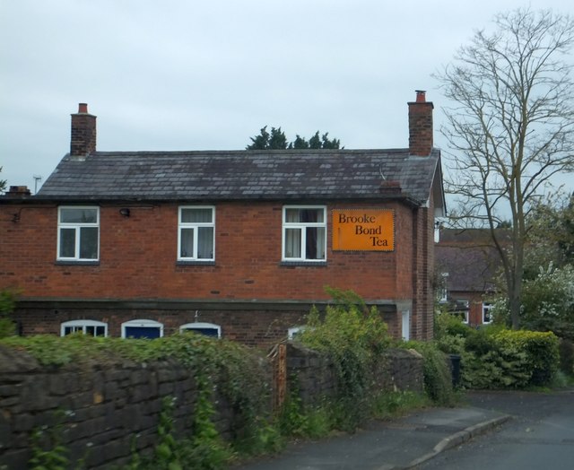
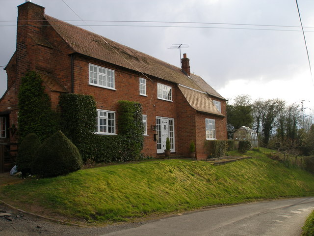
Despite its small size, Menithwood has a rich history dating back to the medieval period. The village features several well-preserved historic buildings, including a 13th-century church that stands as a testament to its past. The local community takes pride in preserving the village's heritage and maintaining its traditional charm.

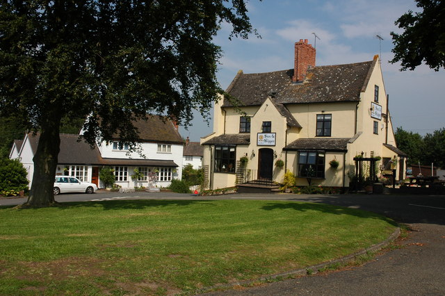
Residents of Menithwood enjoy a close community spirit and benefit from a range of local amenities. The village boasts a primary school, a village hall, and a pub, which serves as a social hub for locals and visitors alike. Additionally, Menithwood is conveniently located near larger towns, such as Worcester and Malvern, which offer a wider range of services and amenities.

In conclusion, Menithwood is a small yet charming village in Worcestershire, known for its stunning natural surroundings, rich history, and strong community spirit. It offers a peaceful and idyllic lifestyle for its residents, making it an attractive destination for those seeking a tranquil retreat in the heart of the English countryside.

If you have any feedback on the listing, please let us know in the comments section below.
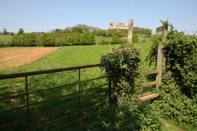
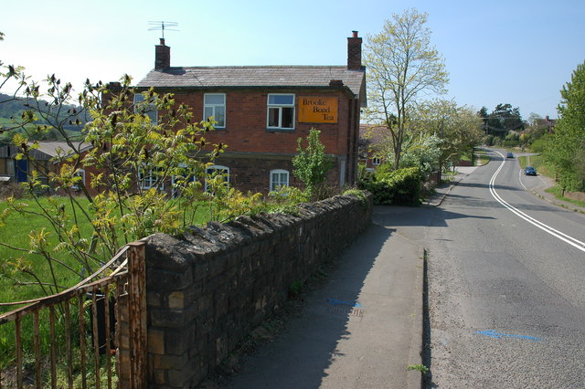
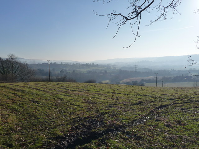
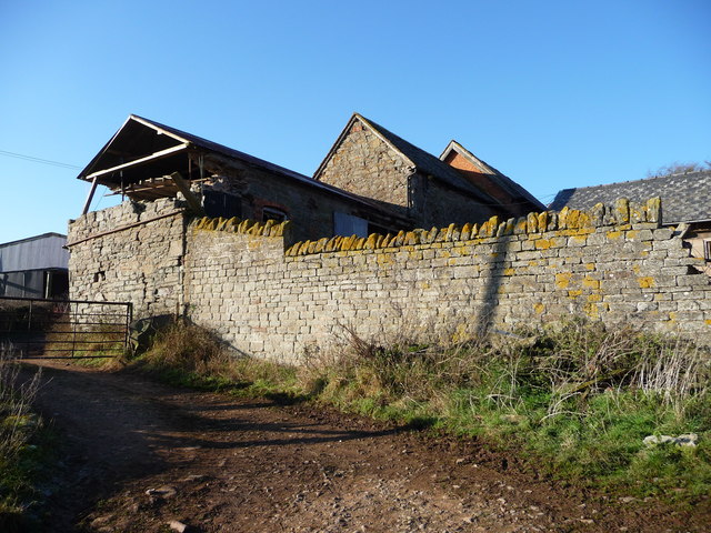
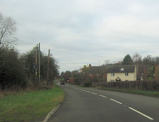
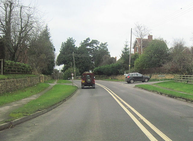
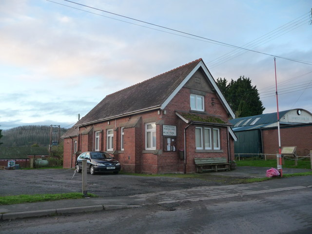
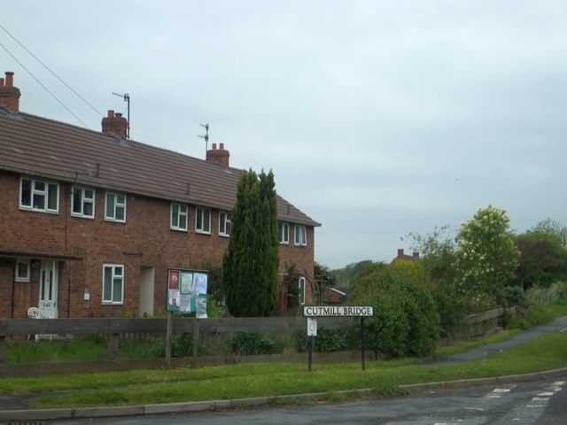
Menithwood Images

Images are sourced within 2km of 52.32026/-2.431599 or Grid Reference SO7069. Thanks to Geograph Open Source API. All images are credited.

Footpath to Frith Common Footpath to Frith Common from Dumbleton Lane.
Footpath to Frith Common
Footpath to Frith Common from Dumbleton Lane.
Cottage in Eardiston
Yew Tree Cottage
Yew Tree Cottage
Teme Valley Looking South east from above Dumbleton Farm
Teme Valley
Looking South east from above Dumbleton Farm
Ruined farm buildings, Dumbleton Farm
View to Eardiston View to Eardiston House and the village of Eardiston from across the Teme valley.
View to Eardiston
View to Eardiston House and the village of Eardiston from across the Teme valley.
Double bend on A443 near The Lowe Farm Just west of Stockton on Teme looking towards the east
Double bend on A443 near The Lowe Farm
Just west of Stockton on Teme looking towards the east
Large lay by on westbound A443 Just west of Lowgreen cottage
Large lay by on westbound A443
Just west of Lowgreen cottage
A443 approaching Menithwood turn off
A443 west through Eardiston At Cutmill Bridge. The white house is Cranhills House
A443 west through Eardiston
At Cutmill Bridge. The white house is Cranhills House
Eardiston road junction Just east of Whitehouse Farm from A443
Eardiston road junction
Just east of Whitehouse Farm from A443
Lindridge Parish Hall, Eardiston, Worcs A fine old village hall beside the main road.
Lindridge Parish Hall, Eardiston, Worcs
A fine old village hall beside the main road.
Part of the Cutmill Bridge estate, Eardiston The bridge is on the eastern side of the village, and this side road has taken its name from that structure.
Part of the Cutmill Bridge estate, Eardiston
The bridge is on the eastern side of the village, and this side road has taken its name from that structure.
Brick-built cottage in Eardiston with an old advertisement As it is a private house, purchasing Brooke Bond Tea here is no longer possible.
Brick-built cottage in Eardiston with an old advertisement
As it is a private house, purchasing Brooke Bond Tea here is no longer possible.
Frith Common Footpaths diverge from this spot.
Frith Common
Footpaths diverge from this spot.
Dog walking at Frith Common Taking to the road.
Dog walking at Frith Common
Taking to the road.
Pastures in autumn These sheep have a fine corner of West Worcestershire to call home!
Bracken along the roadside.
Pastures in autumn
These sheep have a fine corner of West Worcestershire to call home! Bracken along the roadside.
Overgrown green lane The wet scrubby land is reverting to woodland and the old lane indicated on mapping is bypassed by a footpath to the right.
Overgrown green lane
The wet scrubby land is reverting to woodland and the old lane indicated on mapping is bypassed by a footpath to the right.
Show me another place!

Menithwood is located at Grid Ref: SO7069 (Lat: 52.32026, Lng: -2.431599)

Administrative County: Worcestershire

District: Malvern Hills

Police Authority: West Mercia

What 3 Words

///performed.loosens.cross. Near Cleobury Mortimer, Shropshire

Related Wikis

Hunthouse Wood

Hunthouse Wood is a nature reserve of the Worcestershire Wildlife Trust, situated near the villages of Clows Top and Mamble, in Worcestershire, England...

Eardiston

Eardiston is a village in Worcestershire, England. The village of Eardiston lies in the valley of the river Teme between Great Witley and Tenbury Wells...

Frith Common

Frith Common is a village in Worcestershire, England. Frith Common is a village on the north side of the Teme valley, in the parish of Lindridge. It consists...

Pensax

Pensax is a village and civil parish of northwest Worcestershire in England, incorporating the hamlet of Menithwood to the west of Pensax Common. According...

Stockton on Teme

Stockton on Teme is a village and civil parish in the Malvern Hills District in the county of Worcestershire, England. It is close to the River Teme and...

Sodington Hall

Sodington Hall is an early 19th-century country house in the parish of Mamble in Worcestershire, England. The Grade II listed building was described by...

Mamble

Mamble is a village and civil parish in the Malvern Hills District in the county of Worcestershire, England. It is located on the A456 between Bewdley...

Clows Top

Clows Top is a village in north Worcestershire, England. There is a village shop/post office, a butcher's, a village hall (named the "Victory Hall") and...

Nearby Amenities

Located within 500m of 52.32026,-2.431599
Bus Stop
Crossroads
Bus: yes
Naptan AtcoCode: 2000G201300
Naptan Bearing: S
Naptan CommonName: Crossroads
Naptan Indicator: Adj
Naptan Landmark: Telephone Box
Naptan NaptanCode: wocdgtgt
Naptan Street: Crossroads
Naptan Verified: no
Public Transport: platform
Source: naptan_import
Lat/Long: 52.3184281/-2.4292108
Barrier: stile
Material: wood
Stile: stepover
Lat/Long: 52.3177308/-2.4357439
Barrier: stile
Material: wood
Stile: stepover
Lat/Long: 52.3167689/-2.4280087
Menithwood
Is In: Worcestershire
Place: hamlet
Lat/Long: 52.3201187/-2.4283345
Post Box
Collection Times: Mo-Fr 15:30; Sa 10:00
Post Box Type: wall
Ref: WR6 440
Royal Cypher: VR
Royal Cypher Wikidata: Q33102356
Lat/Long: 52.3172007/-2.4300846
Telephone
Defibrillator
Booth: K6
Covered: booth
Defibrillator Location: inside red phone box, Menithwood
Emergency: defibrillator
Man Made: telephone_box
Lat/Long: 52.3184541/-2.429217
Barrier: stile
Material: wood
Stile: stepover
Lat/Long: 52.3170792/-2.4301189
Fox House
Power: pole
Transformer: distribution
Voltage Primary: 11000
Lat/Long: 52.3219166/-2.4309732
Menithwood Pumping Station
Power: pole
Transformer: distribution
Voltage Primary: 11000
Lat/Long: 52.3215473/-2.4303409
Power: pole
Lat/Long: 52.3212854/-2.4299526
Menithwood
Power: pole
Transformer: distribution
Voltage Primary: 11000
Lat/Long: 52.3212453/-2.4294041
Power: pole
Lat/Long: 52.3211535/-2.4286947
Power: pole
Lat/Long: 52.3212588/-2.4274991
Location Transition: yes
Power: pole
Lat/Long: 52.3210797/-2.4272376
Location Transition: yes
Power: pole
Lat/Long: 52.322365/-2.4251086
Location Transition: yes
Power: pole
Lat/Long: 52.3189442/-2.4255256
Page Grove
Power: pole
Transformer: distribution
Voltage Primary: 11000
Lat/Long: 52.3169874/-2.4347739
Location Transition: yes
Power: pole
Lat/Long: 52.3174334/-2.4335951
Menithwood West
Location Transition: yes
Power: pole
Transformer: distribution
Voltage Primary: 11000
Lat/Long: 52.3182425/-2.4325302
Power: pole
Lat/Long: 52.3183958/-2.4322191
Power: pole
Lat/Long: 52.3185704/-2.4307378
Power: pole
Lat/Long: 52.3178884/-2.4302423
Woodlands Road
Power: pole
Transformer: distribution
Voltage Primary: 11000
Lat/Long: 52.3176416/-2.4304247
Power: pole
Lat/Long: 52.3182663/-2.4299982
Power: pole
Lat/Long: 52.3187266/-2.4292392
Menithwood South
Power: pole
Transformer: distribution
Voltage Primary: 11000
Lat/Long: 52.3188024/-2.428572
Power: pole
Lat/Long: 52.3187024/-2.4276902
Power: pole
Lat/Long: 52.318602/-2.4268319
Power: pole
Lat/Long: 52.3184597/-2.4258046
Power: pole
Lat/Long: 52.3182048/-2.4259669
The data included in this document is from www.openstreetmap.org. The data is made available under ODbL.

Have you been to Menithwood?

Leave your review of Menithwood below (or comments, questions and feedback).