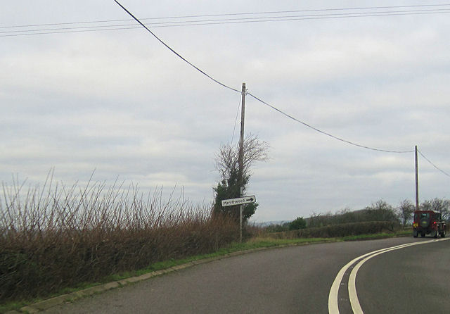
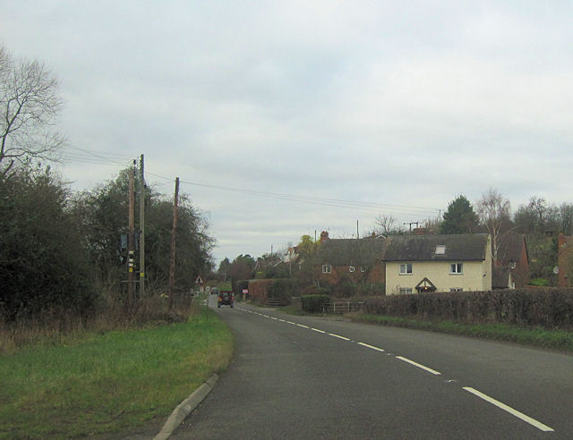
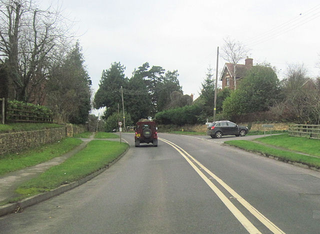
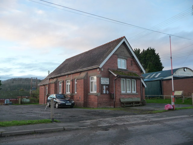
Menith Wood

Wood, Forest in Worcestershire Malvern Hills

England

Menith Wood

Approaching Frith Common Approaching Frith Common from the west.  The <a href="https://www.geograph.org.uk/photo/235136">SO6869 : Roadsign near Frith Common</a> is interesting!
Approaching Frith Common Credit: David Stowell

Menith Wood is a small woodland area located in the county of Worcestershire, England. Situated near the village of Menith, the wood is a part of the larger Malvern Hills Area of Outstanding Natural Beauty. The wood covers an area of approximately 10 hectares and is predominantly composed of deciduous trees such as oak, ash, and beech.

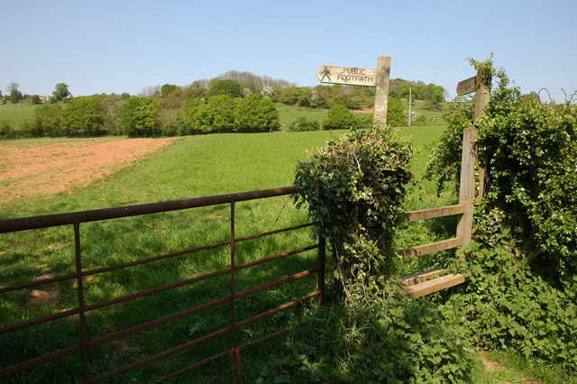
The wood is known for its tranquil and picturesque setting, making it a popular destination for nature enthusiasts and hikers. It offers a variety of walking trails that wind through the dense foliage, providing opportunities to explore the diverse flora and fauna that thrive within the wood. Bluebells carpet the forest floor in the spring, creating a stunning display of vibrant colors.

Home to a wide range of wildlife, Menith Wood provides a habitat for numerous bird species, including woodpeckers, warblers, and owls. Mammals such as foxes, badgers, and deer can also be spotted within the wood, adding to its natural charm.

The wood is managed by the Worcestershire Wildlife Trust, who work to maintain the delicate balance of the ecosystem and protect its biodiversity. They organize guided walks and educational programs to promote awareness and appreciation for the natural environment.

Overall, Menith Wood offers a peaceful retreat from the hustle and bustle of everyday life, providing visitors with an opportunity to immerse themselves in the beauty of nature.

If you have any feedback on the listing, please let us know in the comments section below.
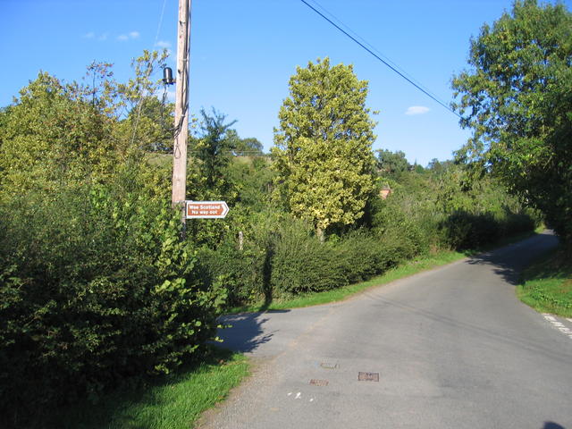
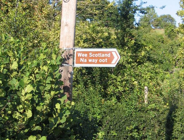
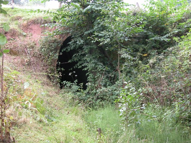
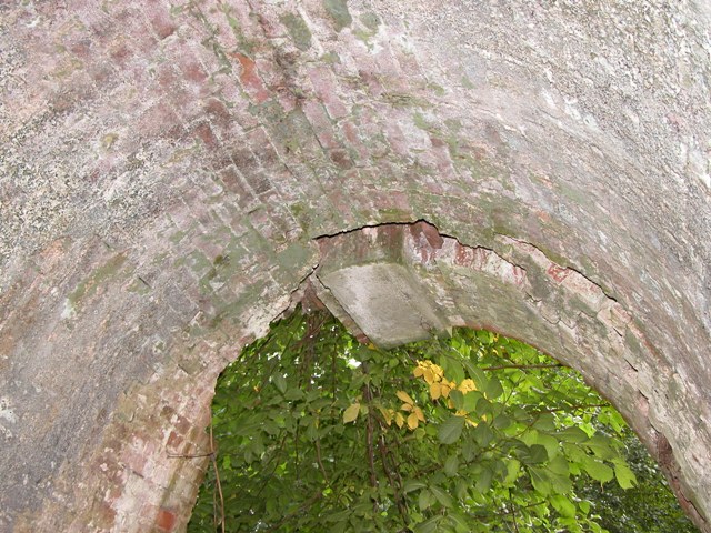
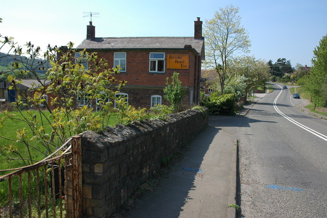
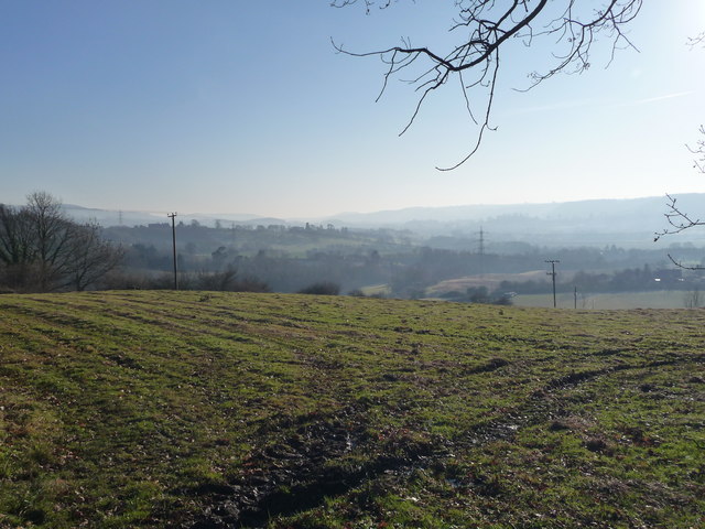
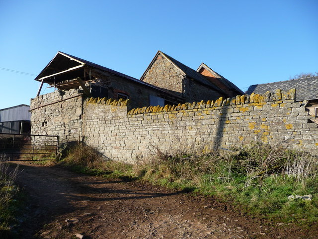
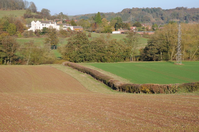
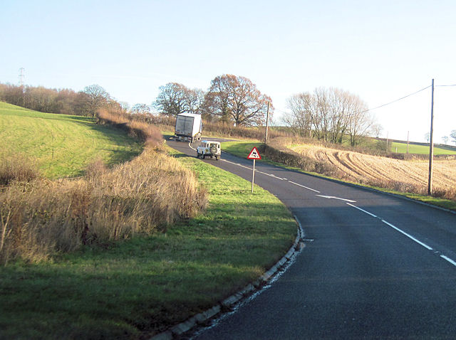
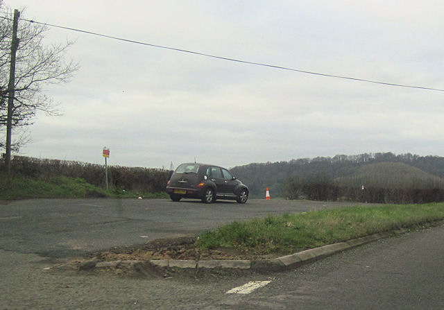
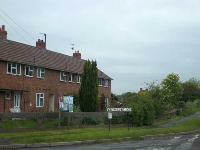
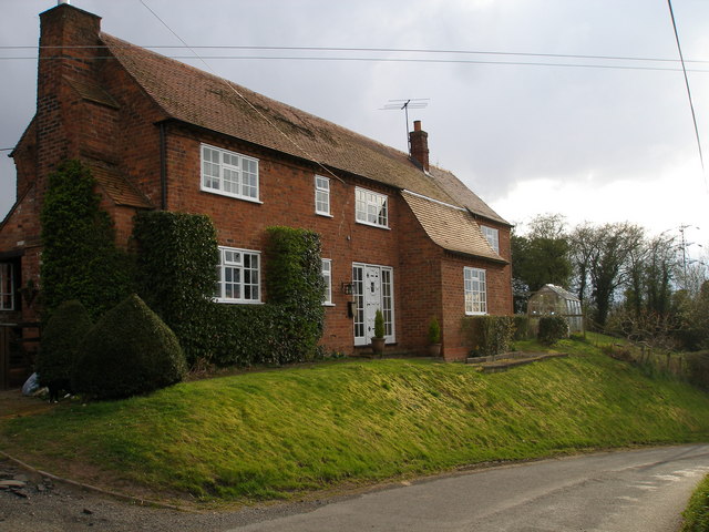
Menith Wood Images

Images are sourced within 2km of 52.320565/-2.4354394 or Grid Reference SO7069. Thanks to Geograph Open Source API. All images are credited.

Approaching Frith Common Approaching Frith Common from the west.  The <a href="https://www.geograph.org.uk/photo/235136">SO6869 : Roadsign near Frith Common</a> is interesting!
Approaching Frith Common
Approaching Frith Common from the west. The SO6869 : Roadsign near Frith Common is interesting!
Roadsign near Frith Common An unusual road sign pointing down a dead end lane from the road junction <a href="https://www.geograph.org.uk/photo/235131">SO6869 : Approaching Frith Common</a>.
Roadsign near Frith Common
An unusual road sign pointing down a dead end lane from the road junction SO6869 : Approaching Frith Common.
Southnet Tunnel entrance
Inside the Southnet Tunnel
Looking down the Southnet Tunnel
Footpath to Frith Common Footpath to Frith Common from Dumbleton Lane.
Footpath to Frith Common
Footpath to Frith Common from Dumbleton Lane.
Cottage in Eardiston
Yew Tree Cottage
Yew Tree Cottage
Teme Valley Looking South east from above Dumbleton Farm
Teme Valley
Looking South east from above Dumbleton Farm
Ruined farm buildings, Dumbleton Farm
View to Eardiston View to Eardiston House and the village of Eardiston from across the Teme valley.
View to Eardiston
View to Eardiston House and the village of Eardiston from across the Teme valley.
Double bend on A443 near The Lowe Farm Just west of Stockton on Teme looking towards the east
Double bend on A443 near The Lowe Farm
Just west of Stockton on Teme looking towards the east
Large lay by on westbound A443 Just west of Lowgreen cottage
Large lay by on westbound A443
Just west of Lowgreen cottage
A443 approaching Menithwood turn off
A443 west through Eardiston At Cutmill Bridge. The white house is Cranhills House
A443 west through Eardiston
At Cutmill Bridge. The white house is Cranhills House
Eardiston road junction Just east of Whitehouse Farm from A443
Eardiston road junction
Just east of Whitehouse Farm from A443
Lindridge Parish Hall, Eardiston, Worcs A fine old village hall beside the main road.
Lindridge Parish Hall, Eardiston, Worcs
A fine old village hall beside the main road.
Part of the Cutmill Bridge estate, Eardiston The bridge is on the eastern side of the village, and this side road has taken its name from that structure.
Part of the Cutmill Bridge estate, Eardiston
The bridge is on the eastern side of the village, and this side road has taken its name from that structure.
Show me another place!

Menith Wood is located at Grid Ref: SO7069 (Lat: 52.320565, Lng: -2.4354394)

Administrative County: Worcestershire

District: Malvern Hills

Police Authority: West Mercia

What 3 Words

///tank.cries.usage. Near Cleobury Mortimer, Shropshire

Related Wikis

Hunthouse Wood

Hunthouse Wood is a nature reserve of the Worcestershire Wildlife Trust, situated near the villages of Clows Top and Mamble, in Worcestershire, England...

Frith Common

Frith Common is a village in Worcestershire, England. Frith Common is a village on the north side of the Teme valley, in the parish of Lindridge. It consists...

Eardiston

Eardiston is a village in Worcestershire, England. The village of Eardiston lies in the valley of the river Teme between Great Witley and Tenbury Wells...

Pensax

Pensax is a village and civil parish of northwest Worcestershire in England, incorporating the hamlet of Menithwood to the west of Pensax Common. According...

Nearby Amenities

Located within 500m of 52.320565,-2.4354394
Bus Stop
Crossroads
Bus: yes
Naptan AtcoCode: 2000G201300
Naptan Bearing: S
Naptan CommonName: Crossroads
Naptan Indicator: Adj
Naptan Landmark: Telephone Box
Naptan NaptanCode: wocdgtgt
Naptan Street: Crossroads
Naptan Verified: no
Public Transport: platform
Source: naptan_import
Lat/Long: 52.3184281/-2.4292108
Barrier: stile
Material: wood
Stile: stepover
Lat/Long: 52.3177308/-2.4357439
Menithwood
Is In: Worcestershire
Place: hamlet
Lat/Long: 52.3201187/-2.4283345
Telephone
Defibrillator
Booth: K6
Covered: booth
Defibrillator Location: inside red phone box, Menithwood
Emergency: defibrillator
Man Made: telephone_box
Lat/Long: 52.3184541/-2.429217
Fox House
Power: pole
Transformer: distribution
Voltage Primary: 11000
Lat/Long: 52.3219166/-2.4309732
Menithwood Pumping Station
Power: pole
Transformer: distribution
Voltage Primary: 11000
Lat/Long: 52.3215473/-2.4303409
Power: pole
Lat/Long: 52.3212854/-2.4299526
Menithwood
Power: pole
Transformer: distribution
Voltage Primary: 11000
Lat/Long: 52.3212453/-2.4294041
Power: pole
Lat/Long: 52.3211535/-2.4286947
Page Grove
Power: pole
Transformer: distribution
Voltage Primary: 11000
Lat/Long: 52.3169874/-2.4347739
Location Transition: yes
Power: pole
Lat/Long: 52.3174334/-2.4335951
Menithwood West
Location Transition: yes
Power: pole
Transformer: distribution
Voltage Primary: 11000
Lat/Long: 52.3182425/-2.4325302
Power: pole
Lat/Long: 52.3183958/-2.4322191
Power: pole
Lat/Long: 52.3185704/-2.4307378
Power: pole
Lat/Long: 52.3178884/-2.4302423
Woodlands Road
Power: pole
Transformer: distribution
Voltage Primary: 11000
Lat/Long: 52.3176416/-2.4304247
Power: pole
Lat/Long: 52.3182663/-2.4299982
Power: pole
Lat/Long: 52.3187266/-2.4292392
The data included in this document is from www.openstreetmap.org. The data is made available under ODbL.

Have you been to Menith Wood?

Leave your review of Menith Wood below (or comments, questions and feedback).