Winricks Wood
Wood, Forest in Worcestershire Malvern Hills
England
Winricks Wood
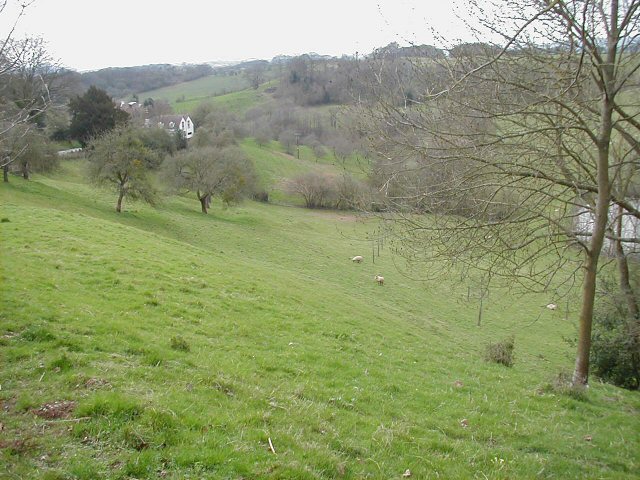
Winricks Wood is a picturesque woodland situated in the county of Worcestershire, England. Covering an area of approximately 50 acres, this ancient forest is renowned for its natural beauty and biodiversity. It is located near the small village of Winricks, just a few miles southeast of the town of Kidderminster.
The woodland is predominantly composed of deciduous trees such as oak, beech, and ash, which create a rich and diverse ecosystem. The forest floor is carpeted with a variety of wildflowers, including bluebells and primroses, adding vibrant colors to the landscape during springtime. Numerous species of birds, mammals, and insects call Winricks Wood their home, making it an important habitat for wildlife conservation.
The wood is crisscrossed by a network of well-maintained walking trails, providing visitors with the opportunity to explore the enchanting forest at their own pace. These trails offer breathtaking views of the surrounding countryside and lead to hidden gems, such as a small stream and a tranquil pond that attracts various species of waterfowl.
Throughout the year, Winricks Wood hosts a range of events and activities, including guided nature walks, birdwatching sessions, and educational programs for children. The forest also boasts a picnic area, allowing visitors to relax and enjoy a meal surrounded by the serene beauty of nature.
Winricks Wood is a cherished natural treasure in Worcestershire, offering a peaceful retreat for nature lovers and an ideal destination for those seeking to immerse themselves in the splendor of the British countryside.
If you have any feedback on the listing, please let us know in the comments section below.
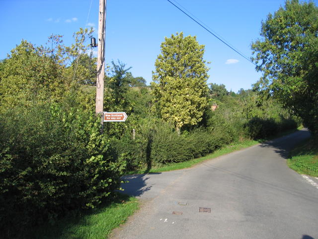
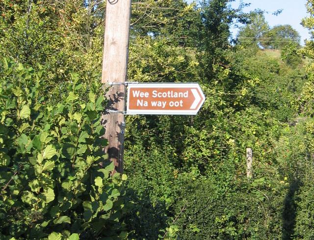
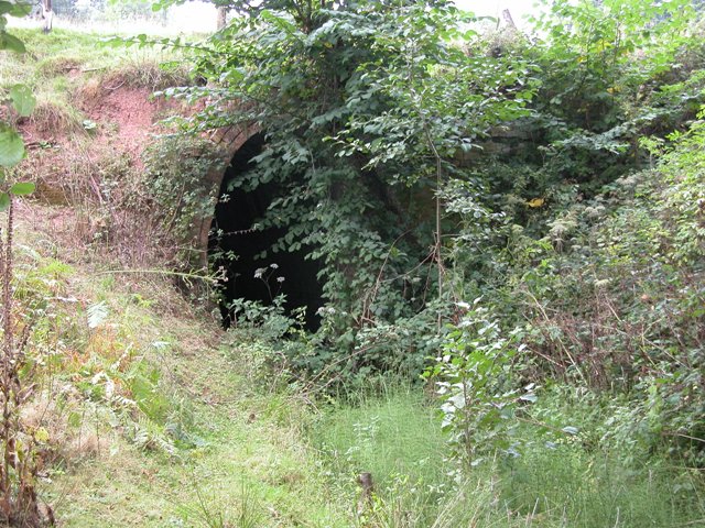
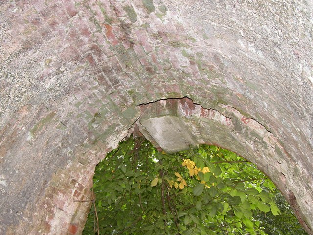
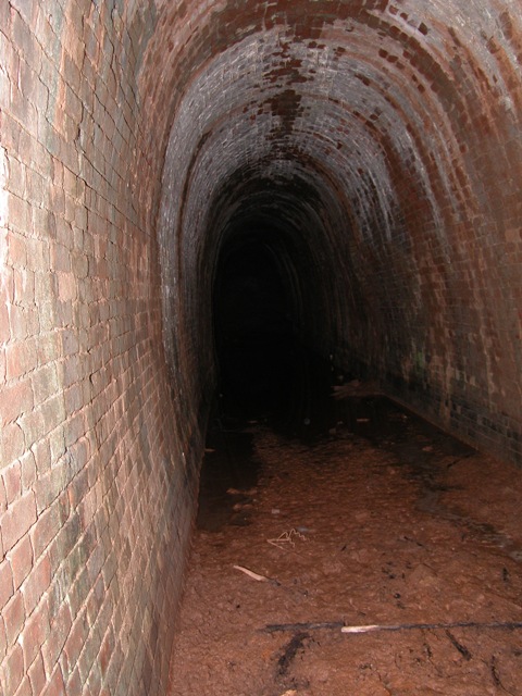
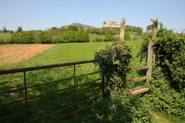
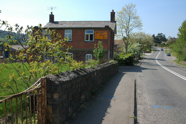
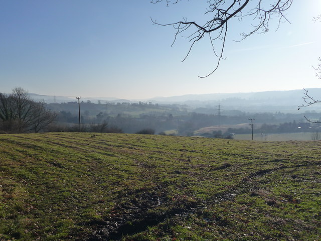
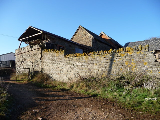
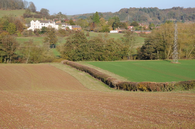
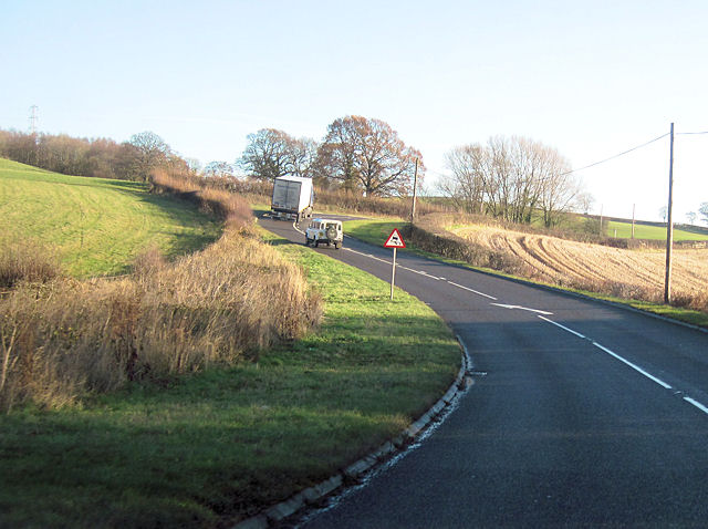
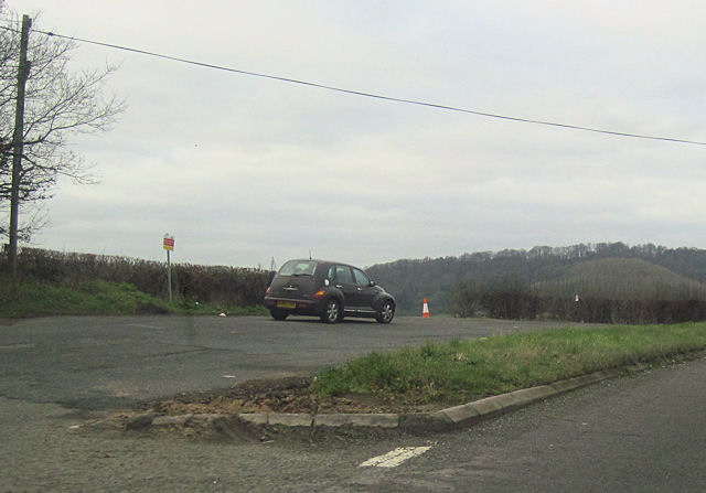
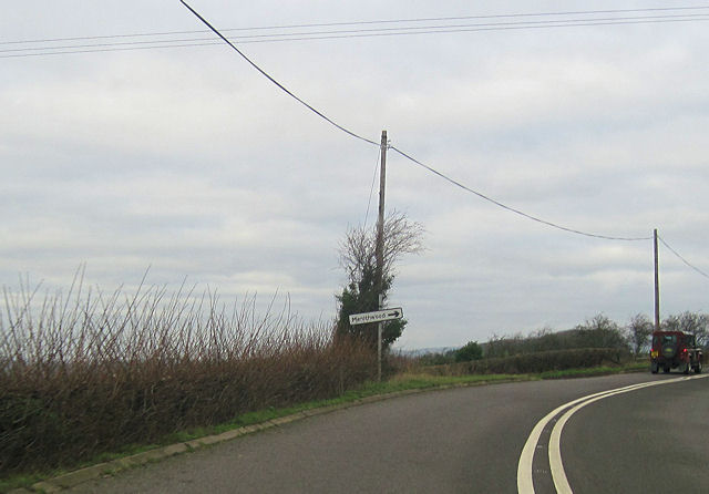
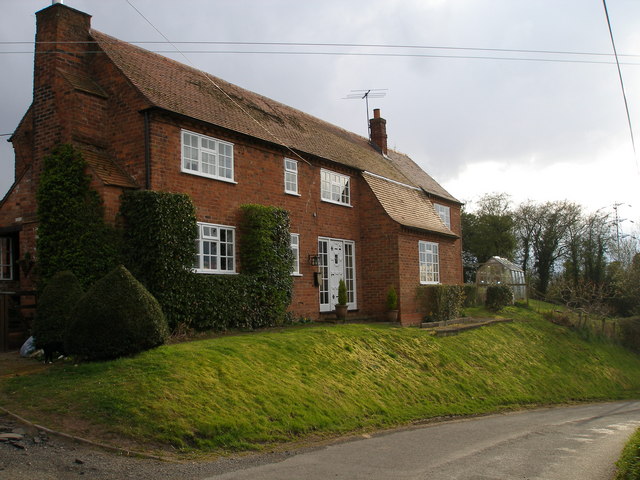
Winricks Wood Images
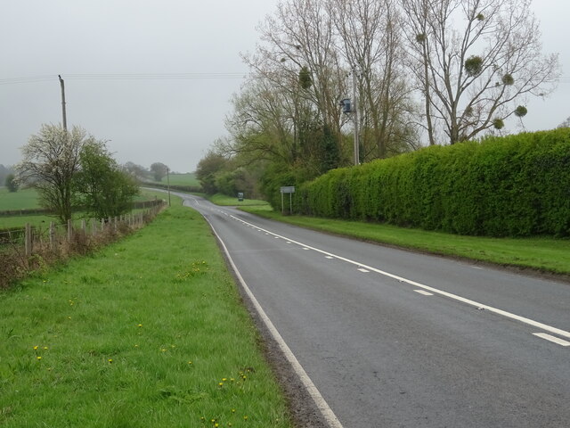
Images are sourced within 2km of 52.324225/-2.4374415 or Grid Reference SO7069. Thanks to Geograph Open Source API. All images are credited.

Winricks Wood is located at Grid Ref: SO7069 (Lat: 52.324225, Lng: -2.4374415)
Administrative County: Worcestershire
District: Malvern Hills
Police Authority: West Mercia
What 3 Words
///shifters.remain.tummy. Near Cleobury Mortimer, Shropshire
Nearby Locations
Related Wikis

Hunthouse Wood
Hunthouse Wood is a nature reserve of the Worcestershire Wildlife Trust, situated near the villages of Clows Top and Mamble, in Worcestershire, England...
Frith Common
Frith Common is a village in Worcestershire, England. Frith Common is a village on the north side of the Teme valley, in the parish of Lindridge. It consists...

Eardiston
Eardiston is a village in Worcestershire, England. The village of Eardiston lies in the valley of the river Teme between Great Witley and Tenbury Wells...

Sodington Hall
Sodington Hall is an early 19th-century country house in the parish of Mamble in Worcestershire, England. The Grade II listed building was described by...
Nearby Amenities
Located within 500m of 52.324225,-2.4374415Have you been to Winricks Wood?
Leave your review of Winricks Wood below (or comments, questions and feedback).