Menna

Settlement in Cornwall

England

Menna

Menna entrance sign
Menna entrance sign Credit: Alex McGregor

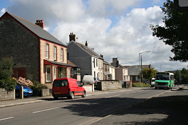
Menna is a small village located in the county of Cornwall, England. Situated in the southwestern part of the country, Menna is nestled amidst picturesque countryside, offering stunning views of rolling green hills and lush landscapes. The village is part of the civil parish of St. Minver Lowlands and lies approximately 5 miles northeast of the popular coastal town of Wadebridge.

Despite its small size, Menna has a rich history that can be traced back to medieval times. The village is home to several historic buildings, including a beautiful 15th-century church, St. Menna's Church, which serves as a focal point for the local community. The church features intricate architectural details and provides visitors with a glimpse into the area's past.

Menna is surrounded by natural beauty, making it an ideal destination for outdoor enthusiasts. The village is located close to the Camel Estuary, offering opportunities for boating, fishing, and scenic walks along the water's edge. Additionally, the nearby countryside provides ample opportunities for hiking, cycling, and exploring the region's diverse flora and fauna.

In terms of amenities, Menna may be on the smaller side, but it boasts a friendly and close-knit community. There are a few local shops and amenities, including a pub and a village hall that hosts various events throughout the year. For a wider range of amenities, residents and visitors can easily access Wadebridge, which offers a wider range of shops, restaurants, and entertainment options.

Overall, Menna is a charming village that combines its rich history, stunning natural surroundings, and a strong sense of community to create a desirable place to live or visit in Cornwall.

If you have any feedback on the listing, please let us know in the comments section below.
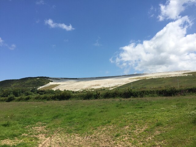
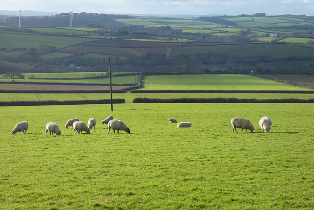
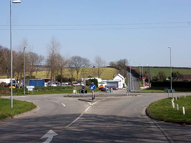
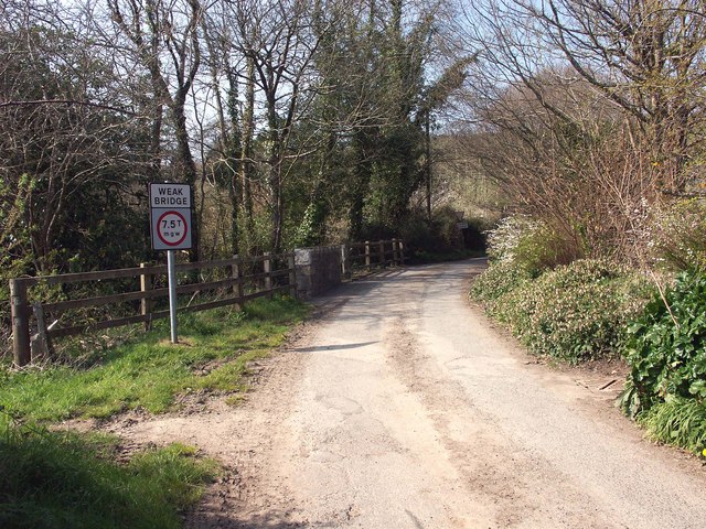
Menna Images

Images are sourced within 2km of 50.351501/-4.933701 or Grid Reference SW9154. Thanks to Geograph Open Source API. All images are credited.

Menna entrance sign
Menna entrance sign
Cross Road on the A3058 The cross roads on the A3058 to Brighton Cross and on to Summercourt and Newquay where it is crossed by the B Road from Grampound Road to Penhale and Fraddon.
Cross Road on the A3058
The cross roads on the A3058 to Brighton Cross and on to Summercourt and Newquay where it is crossed by the B Road from Grampound Road to Penhale and Fraddon.
Burthy china clay quarry and trig point Since the photo was taken the quarry has been extended and the trig point lost, see <span class="nowrap"><a title="http://trigpointinguk.com/trigs/trig-details.php?t=1801" rel="nofollow ugc noopener" href="http://trigpointinguk.com/trigs/trig-details.php?t=1801">Link</a><img style="margin-left:2px;" alt="External link" title="External link - shift click to open in new window" src="https://s1.geograph.org.uk/img/external.png" width="10" height="10"/></span>
Burthy china clay quarry and trig point
Since the photo was taken the quarry has been extended and the trig point lost, see LinkExternal link
Carrick : Seaview Terrace Houses on Seaview Terrace and a small lane heading down the hill.
Carrick : Seaview Terrace
Houses on Seaview Terrace and a small lane heading down the hill.
Carrick : The A3058 Roadside Roadside beside the A3058 in the Carrick area of Cornwall.
Carrick : The A3058 Roadside
Roadside beside the A3058 in the Carrick area of Cornwall.
Carrick : Small Road A small road heading off from A3058 in Cornwall.
Carrick : Small Road
A small road heading off from A3058 in Cornwall.
Carrick : Hedgerows & Fields Looking through the gaps in the hedgerows towards the fields.
Carrick : Hedgerows & Fields
Looking through the gaps in the hedgerows towards the fields.
Farmland near Goonabarn Farmland near Goonabarn to the south of Sumercourt.
Farmland near Goonabarn
Farmland near Goonabarn to the south of Sumercourt.
Country road near Goonabarn Country road near Goonabarn to the south of Summercourt.  This narrow country road has been widened a little by laying some hardcore on the roadside.
Country road near Goonabarn
Country road near Goonabarn to the south of Summercourt. This narrow country road has been widened a little by laying some hardcore on the roadside.
Old Milestone by the A3058 Carved stone post by the A3058, in parish of ST ENODER (RESTORMEL District), Trenithon Farm, North of Brighton Cross, the junction, on South side of road.   Erected by the Local Highways Board in the 19th century. 

Inscription reads:-
NEWQUAY
8 

Grade II Listed. List Entry Number: 1144054
<span class="nowrap"><a title="https://historicengland.org.uk/listing/the-list/list-entry/1144054" rel="nofollow ugc noopener" href="https://historicengland.org.uk/listing/the-list/list-entry/1144054">Link</a><img style="margin-left:2px;" alt="External link" title="External link - shift click to open in new window" src="https://s1.geograph.org.uk/img/external.png" width="10" height="10"/></span>

Milestone Society National ID: CW_NQSE08.
Old Milestone by the A3058
Carved stone post by the A3058, in parish of ST ENODER (RESTORMEL District), Trenithon Farm, North of Brighton Cross, the junction, on South side of road. Erected by the Local Highways Board in the 19th century. Inscription reads:- NEWQUAY 8 Grade II Listed. List Entry Number: 1144054 LinkExternal link Milestone Society National ID: CW_NQSE08.
Old Milestone by the A3058, Austell Street Carved stone post by the A3058, in parish of ST ENODER (RESTORMEL District), South of Trenithon Farm and North of Brighton Cross, at the UC road junction, on South side of road. Erected by the Local Highways Board in the 19th century. 

Inscription reads:-
NEWQUAY
8 

Grade II listed. 
List Entry Number: 1144054 <span class="nowrap"><a title="https://historicengland.org.uk/listing/the-list/list-entry/1144054" rel="nofollow ugc noopener" href="https://historicengland.org.uk/listing/the-list/list-entry/1144054">Link</a><img style="margin-left:2px;" alt="External link" title="External link - shift click to open in new window" src="https://s1.geograph.org.uk/img/external.png" width="10" height="10"/></span>

Milestone Society National ID: CW_NQSE08.
Old Milestone by the A3058, Austell Street
Carved stone post by the A3058, in parish of ST ENODER (RESTORMEL District), South of Trenithon Farm and North of Brighton Cross, at the UC road junction, on South side of road. Erected by the Local Highways Board in the 19th century. Inscription reads:- NEWQUAY 8 Grade II listed. List Entry Number: 1144054 LinkExternal link Milestone Society National ID: CW_NQSE08.
Clay Pit, near Menna
Pond and pasture, Ladock Buildings at Nankervis are seen in the distance from the bridleway at Trewarren.
Pond and pasture, Ladock
Buildings at Nankervis are seen in the distance from the bridleway at Trewarren.
Pasture, Ladock Horses and sheep in fields beside the bridleway at Iron Mine Farm.
Pasture, Ladock
Horses and sheep in fields beside the bridleway at Iron Mine Farm.
Farmland, Ladock With brassicas in the foreground and daffodils beyond, a view of Higher Hewas from the bridleway at Great Hewas.
Farmland, Ladock
With brassicas in the foreground and daffodils beyond, a view of Higher Hewas from the bridleway at Great Hewas.
Farmland, Ladock Viewed from the bridleway at Lower Hewas, daffodils and covered brassicas.
Farmland, Ladock
Viewed from the bridleway at Lower Hewas, daffodils and covered brassicas.
Farmland, St Enoder A winding section of the A3058 is seen to the left of these fields.
Farmland, St Enoder
A winding section of the A3058 is seen to the left of these fields.
Pasture, Ladock Looking down from the road to the south of Seaview Terrace. The pair of wind turbines in SW8953 are seen in the background.
Pasture, Ladock
Looking down from the road to the south of Seaview Terrace. The pair of wind turbines in SW8953 are seen in the background.
Show me another place!

Menna is located at Grid Ref: SW9154 (Lat: 50.351501, Lng: -4.933701)

Unitary Authority: Cornwall

Police Authority: Devon and Cornwall

What 3 Words

///fussed.galleries.freshest. Near St Stephen, Cornwall

Nearby Locations

Scarcewater Menna

Related Wikis

Menna, Cornwall

Menna is a hamlet in the parish of Ladock, Cornwall, England, United Kingdom. It should not be confused with Mena in the parish of Lanivet. == References ==

Brighton, Cornwall

Brighton, or Brighton Cross, is a hamlet in Cornwall, England, UK. It is on the border between St Enoder and Ladock civil parishes, 10 kilometres (6.2...

New Mills, Cornwall

New Mills (Cornish: Melinnowydh) is a hamlet in Cornwall, England, United Kingdom. It is situated in a wooded valley north of Ladock approximately seven...

St Austell and Newquay (UK Parliament constituency)

St Austell and Newquay is a constituency in Cornwall represented in the House of Commons of the UK Parliament since 2015 by Steve Double, a Conservative...

Retew

Retew was a village near St Austell in Cornwall, England, that was mostly demolished in the early 1960s when the nearby Wheal Remfrey china clay quarry...

St Stephen-in-Brannel

St Stephen-in-Brannel (known locally as St Stephen's or St Stephen) (Cornish: Eglosstefan yn Branel) is a civil parish and village in mid Cornwall, England...

Summercourt fair

Summercourt fair is a charter fair held annually in Summercourt, a village five miles (8 km) south-east of Newquay in Cornwall, United Kingdom. The fair...

Summercourt

Summercourt (Cornish: Marghashir) is a village in mid Cornwall, England, United Kingdom. It is in the civil parish of St Enoder five miles (8 km) southeast...

Nearby Amenities

Located within 500m of 50.351501,-4.933701
Junction: yes
Lat/Long: 50.3537789/-4.9289996
Menna
Is In County: Cornwall
Name Kw: Menydh
Place: hamlet
Source: OS_OpenData_StreetView
Wikidata: Q6817162
Lat/Long: 50.3505676/-4.9322625
Junction: yes
Lat/Long: 50.3513832/-4.9324639
Place: farm
Lat/Long: 50.3502364/-4.9398407
Place: farm
Lat/Long: 50.3483879/-4.9319872
Power: pole
Lat/Long: 50.3538366/-4.9310696
Power: pole
Lat/Long: 50.3527909/-4.9302194
Power: pole
Lat/Long: 50.3519609/-4.9295917
Power: pole
Lat/Long: 50.3510675/-4.9288595
Power: pole
Lat/Long: 50.3500355/-4.9280521
Power: pole
Lat/Long: 50.355731/-4.9325877
Power: pole
Lat/Long: 50.3548531/-4.9319038
Power: pole
Lat/Long: 50.353271/-4.9385369
Power: pole
Lat/Long: 50.3522535/-4.9376987
Power: pole
Lat/Long: 50.3513174/-4.9378771
Power: pole
Lat/Long: 50.3504317/-4.938038
Power: pole
Lat/Long: 50.3490565/-4.9383411
Disused Amenity: post_box
Note: Still in situ but disused Royal Mail wall box. Presumably replaced by lamp box situated 50 to east in layby
Post Box Mounting: stone_wall
Post Box Type: wall
Source: survey;aerial imagery
Lat/Long: 50.3516194/-4.9335588
Post Box
Collection Times: Mo-Fr 09:00; Sa 07:00; Su off
Operator: Royal Mail
Operator Wikidata: Q638098
Post Box Mounting: pier
Post Box Type: lamp
Ref: TR2 77D
Royal Cypher: EIIR
Royal Cypher Wikidata: Q33102113
Source: survey;aerial imagery
Lat/Long: 50.3515707/-4.9330384
Bus Stop
Menna Cottage
Long Name: Menna Cottage (SE-bound)
Naptan AdministrativeAreaCode: 73
Naptan AtcoCode: 0800COC31102
Naptan Bearing: SE
Naptan BusStopType: CUS
Naptan CommonName: Menna Cottage
Naptan Indicator: SE-bound
Naptan LocalityName: Menna
Naptan ModificationDate: 2020-02-25 08:31
Naptan NptgLocalityCode: E0002882
Naptan RegionCode: cordawjt
Naptan Street: A3058
Naptan Verified: no
Public Transport: platform
Lat/Long: 50.3515229/-4.9329239
Bus Stop
Menna Cottage
Long Name: Menna Cottage (opp)
Naptan AdministrativeAreaCode: 73
Naptan AtcoCode: 0800COC31103
Naptan Bearing: NW
Naptan BusStopType: CUS
Naptan CommonName: Menna Cottage
Naptan Indicator: opp
Naptan LocalityName: Menna
Naptan ModificationDate: 2015-04-25 12:22
Naptan NptgLocalityCode: E0002882
Naptan RegionCode: cordawjg
Naptan Street: A3058
Naptan Verified: no
Public Transport: platform
Lat/Long: 50.35149/-4.93307
The data included in this document is from www.openstreetmap.org. The data is made available under ODbL.

Have you been to Menna?

Leave your review of Menna below (or comments, questions and feedback).