Broughton House & Garden
Heritage Site in Kirkcudbrightshire
Scotland
Broughton House & Garden
Broughton House & Garden is a renowned heritage site located in Kirkcudbrightshire, Scotland. This historic property is famous for its stunning 18th-century house and picturesque gardens, attracting visitors from all over the world.
The house itself is a fine example of Georgian architecture, with its elegant façade and well-preserved interior. It was once the residence of acclaimed Scottish artist Edward Atkinson Hornel, who lived there from 1901 until his death in 1933. Today, Broughton House showcases an extensive collection of Hornel's artworks, including his vibrant paintings inspired by his travels to Japan.
The house also features a unique Japanese-style garden, which was designed by Hornel himself. This tranquil space is a fusion of Western and Eastern influences, with its carefully manicured lawns, colorful flowerbeds, and traditional Japanese elements such as a koi pond, stone lanterns, and a tea house. Visitors can take leisurely strolls through the garden, immersing themselves in its serene ambiance and admiring the harmonious blend of cultures.
Aside from its architectural and horticultural wonders, Broughton House & Garden offers educational and cultural programs for visitors of all ages. Guided tours are available, providing insights into Hornel's life and artistic legacy. The site also hosts temporary exhibitions, workshops, and events, making it a vibrant hub for art enthusiasts, history buffs, and nature lovers alike.
With its rich heritage, breathtaking scenery, and engaging programs, Broughton House & Garden is a must-visit destination for anyone seeking a unique and immersive experience in Kirkcudbrightshire.
If you have any feedback on the listing, please let us know in the comments section below.
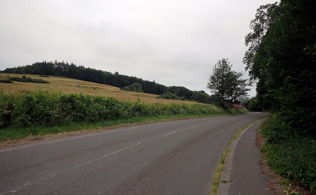
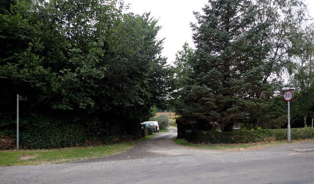
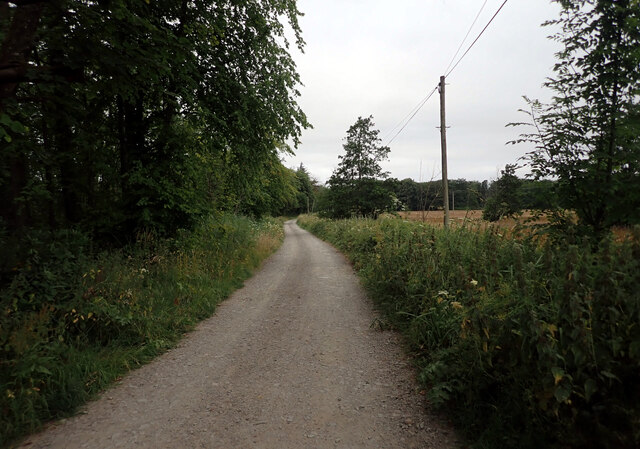
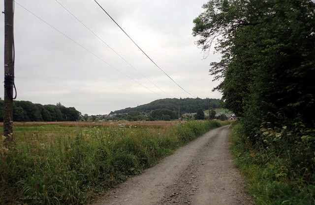
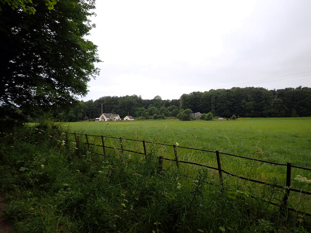
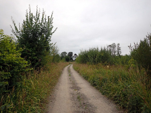
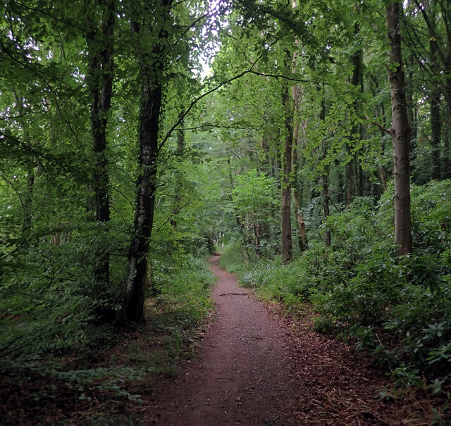
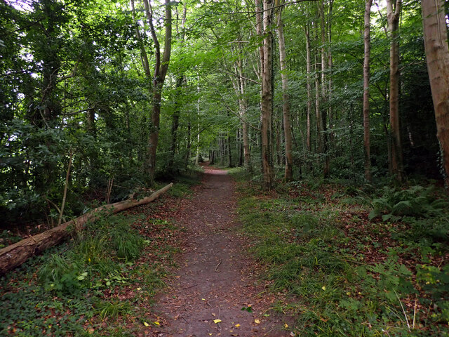
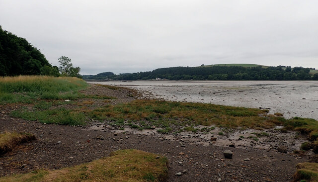
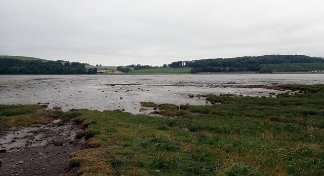
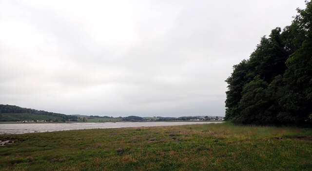
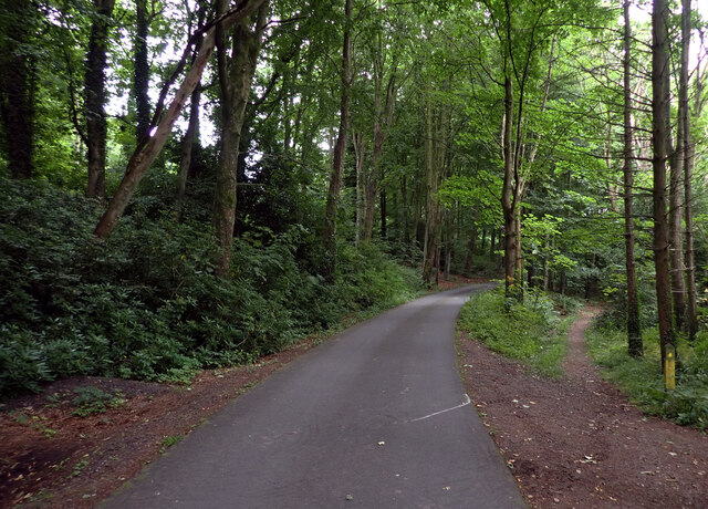
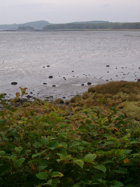
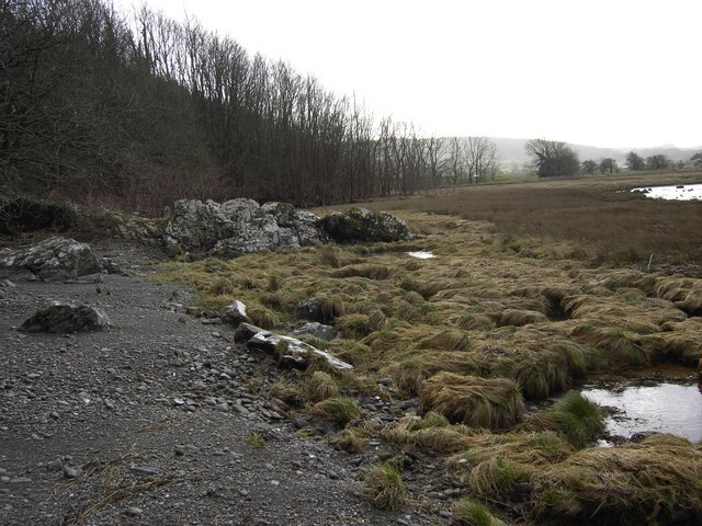
Broughton House & Garden Images
Images are sourced within 2km of 54.837/-4.055 or Grid Reference NX6851. Thanks to Geograph Open Source API. All images are credited.
Broughton House & Garden is located at Grid Ref: NX6851 (Lat: 54.837, Lng: -4.055)
Unitary Authority: Dumfries and Galloway
Police Authority: Dumfries and Galloway
What 3 Words
///riskiest.defender.spoon. Near Kirkcudbright, Dumfries & Galloway
Nearby Locations
Related Wikis

Broughton House
Broughton House is an 18th-century town house standing on the High Street of Kirkcudbright, Scotland. It was the home of Scots impressionist artist E....

MacLellan's Castle
MacLellan's Castle in the town of Kirkcudbright, in Galloway, Scotland, was built in the late 16th century. It stands in the centre of Kirkcudbright...

Kirkcudbright war memorial
Kirkcudbright war memorial commemorates the men of the Scottish town of Kirkcudbright killed during the First and Second World Wars. It is situated in...
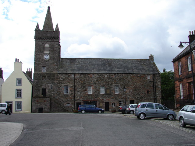
Kirkcudbright Tolbooth
Kirkcudbright Tolbooth is a historic municipal building in Kirkcudbright in Dumfries and Galloway, Scotland. Built between 1627 and 1629 to serve the town...
Nearby Amenities
Located within 500m of 54.837,-4.055Have you been to Broughton House & Garden?
Leave your review of Broughton House & Garden below (or comments, questions and feedback).