Brougham Castle

Heritage Site in Westmorland Eden

England

Brougham Castle

Brougham Castle The castle is situated in the south to southeastern corner of the grid square, southwest of Penrith in Cumbria. The picture was taken looking eastwards towards the castle from the road.
Brougham Castle Credit: Pam Brophy

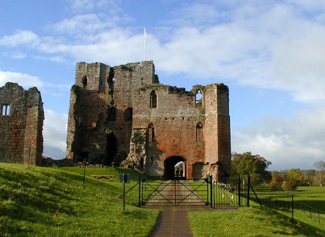
Brougham Castle, situated in Westmorland, England, is a historic site known for its rich history and architectural significance. The castle, originally built in the 13th century, was commissioned by Robert de Vieuxpont, a nobleman and prominent figure during the reign of King Edward I.

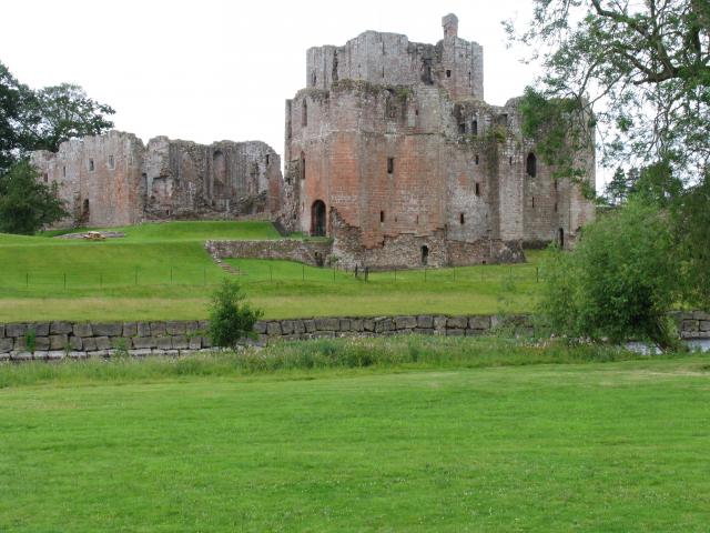
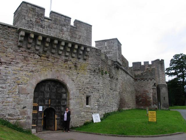
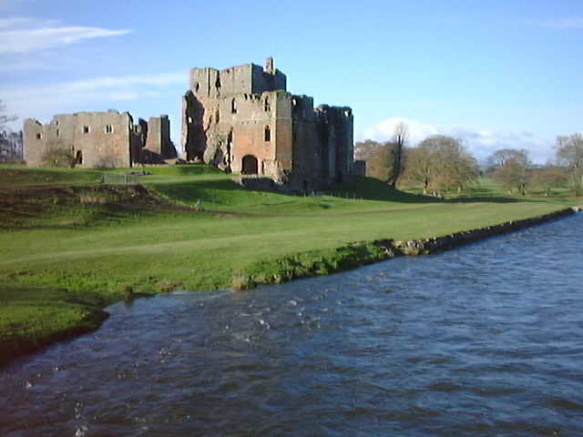
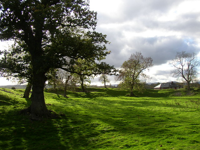
The castle is strategically located on the banks of the River Eamont, near the town of Penrith. It boasts a unique architectural blend of medieval and Tudor styles, with its impressive keep and fortified walls still intact. The castle's stone construction and imposing presence make it a notable example of medieval military architecture.

Throughout its history, Brougham Castle has witnessed several significant events. It played a role in the Anglo-Scottish conflicts, serving as a stronghold against Scottish invasions during the 14th and 15th centuries. The castle also saw its fair share of political intrigue during the Wars of the Roses in the 15th century.

Over the centuries, Brougham Castle has undergone numerous renovations, alterations, and additions, reflecting the changing architectural tastes of each era. Despite its turbulent history, the castle has managed to retain much of its original structure and character.

Today, Brougham Castle is a popular heritage site, managed by English Heritage. Visitors can explore the castle and its grounds, which include a picturesque courtyard, a ruined chapel, and a selection of exhibitions detailing the castle's history. The site offers a fascinating glimpse into medieval life and the turbulent history of the region.

If you have any feedback on the listing, please let us know in the comments section below.

Brougham Castle Images

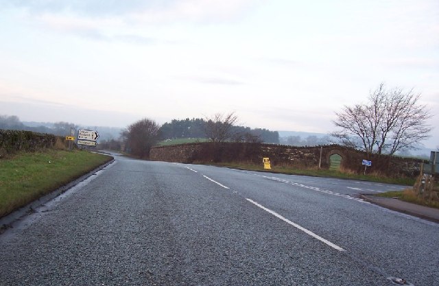
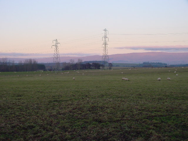
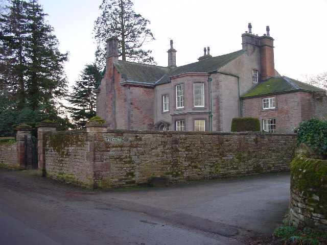
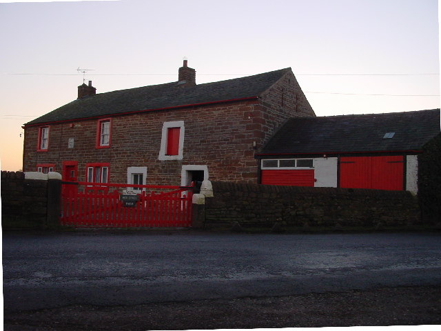
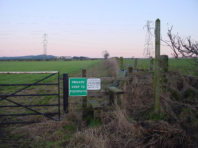
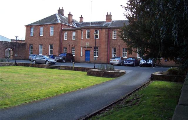
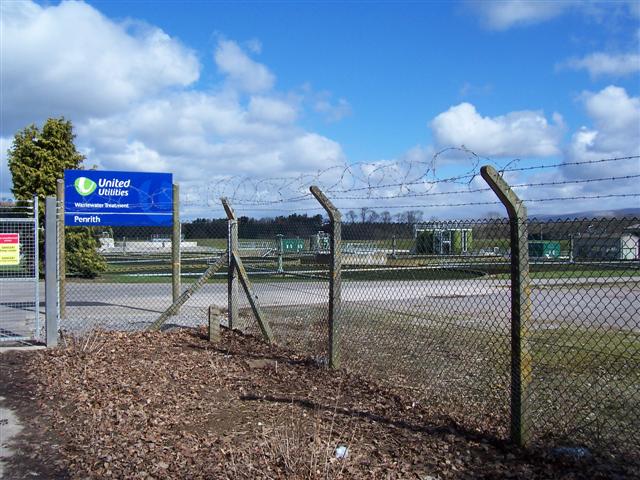
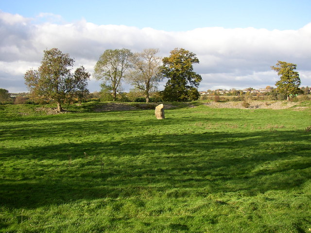
Images are sourced within 2km of 54.65/-2.72 or Grid Reference NY5328. Thanks to Geograph Open Source API. All images are credited.

Brougham Castle The castle is situated in the south to southeastern corner of the grid square, southwest of Penrith in Cumbria. The picture was taken looking eastwards towards the castle from the road.
Brougham Castle
The castle is situated in the south to southeastern corner of the grid square, southwest of Penrith in Cumbria. The picture was taken looking eastwards towards the castle from the road.
Brougham Hall This Manor House situated in the south eastern corner of the square, has seen all sorts of troubled times. It is now a craft centre and produces delicious smoked cheese.
Brougham Hall
This Manor House situated in the south eastern corner of the square, has seen all sorts of troubled times. It is now a craft centre and produces delicious smoked cheese.
One of a pair This photograph of the knocker on the door at Brougham Hall, is submitted as a supplementary photo, as it is of some interest. Its partner is to be found on the door of Durham Cathedral <a title="https://www.geograph.org.uk/photo/2532705" href="https://www.geograph.org.uk/photo/2532705">Link</a>.
One of a pair
This photograph of the knocker on the door at Brougham Hall, is submitted as a supplementary photo, as it is of some interest. Its partner is to be found on the door of Durham Cathedral Link.
Brougham Castle This ancient castle which was home to Lady Anne Clifford. Open to the public under the care of English Heritage.
Brougham Castle
This ancient castle which was home to Lady Anne Clifford. Open to the public under the care of English Heritage.
Brougham Castle near Penrith Photo shows the double gatehouse - started in the 13th century based on a roman fort.
Brougham Castle near Penrith
Photo shows the double gatehouse - started in the 13th century based on a roman fort.
Clifton Hall Pele, near Penrith, Cumbria Built in late 16th century
<span class="nowrap"><a title="www.visitcumbria.com/pen/clifthal.htm" rel="nofollow ugc noopener" href="http://www.visitcumbria.com/pen/clifthal.htm">Link</a><img style="margin-left:2px;" alt="External link" title="External link - shift click to open in new window" src="https://s1.geograph.org.uk/img/external.png" width="10" height="10"/></span>
Clifton Hall Pele, near Penrith, Cumbria
Built in late 16th century LinkExternal link
River Eamont at Brougham Castle, Cumbria This view shows the waters of the River Eamont and River Lowther meeting at Brougham Castle. <span class="nowrap"><a title="http://www.visitcumbria.com/pen/brougham.htm" rel="nofollow ugc noopener" href="http://www.visitcumbria.com/pen/brougham.htm">Link</a><img style="margin-left:2px;" alt="External link" title="External link - shift click to open in new window" src="https://s1.geograph.org.uk/img/external.png" width="10" height="10"/></span>
River Eamont at Brougham Castle, Cumbria
This view shows the waters of the River Eamont and River Lowther meeting at Brougham Castle. LinkExternal link
Old Church, Clifton, Penrith I think this could be a private house? There are no signs outside and I saw a man take his dog into the building.
Old Church, Clifton, Penrith
I think this could be a private house? There are no signs outside and I saw a man take his dog into the building.
Old Chapel, Clifton Now a private house, The plaque reads "Wesleyan Chapel 1885"
Old Chapel, Clifton
Now a private house, The plaque reads "Wesleyan Chapel 1885"
A6 to Cliburn Junction.
Evening Grazing Taken from Fremington, looking east towards the Pennines. The two power lines provide a contrast to the rural scene.
Evening Grazing
Taken from Fremington, looking east towards the Pennines. The two power lines provide a contrast to the rural scene.
Fremington House A large, imposing sandstone house.
Fremington House
A large, imposing sandstone house.
High Dykes Farm
High Dykes Farm
Footpath to High Ground Rather pointless, as there's a shorter path round the corner.
Footpath to High Ground
Rather pointless, as there's a shorter path round the corner.
Carleton Hall. Cumbria constabulary headquarters at the moment.
Carleton Hall.
Cumbria constabulary headquarters at the moment.
Penrith Waste water Treatment Works. Sewage works in old speak and on the older maps.
Penrith Waste water Treatment Works.
Sewage works in old speak and on the older maps.
Mayburgh Henge, northern part with standing-stone, Yanwath and Eamont Bridge Mayburgh Henge consists of a single circular bank, up to 6.5 metres high, and 50m across its base, with a single entrance and enclosing a level area 90m dia. It contains a single monolith 2.8m high, one of eight that existed in the 18C, four in the centre and four at the entrance. The other seven were destroyed using gunpowder.  The henge probably dates from between 2000 and 1000BC, and may have been a meeting place or refuge for a large prehistoric community.
Mayburgh Henge, northern part with standing-stone, Yanwath and Eamont Bridge
Mayburgh Henge consists of a single circular bank, up to 6.5 metres high, and 50m across its base, with a single entrance and enclosing a level area 90m dia. It contains a single monolith 2.8m high, one of eight that existed in the 18C, four in the centre and four at the entrance. The other seven were destroyed using gunpowder. The henge probably dates from between 2000 and 1000BC, and may have been a meeting place or refuge for a large prehistoric community.
Mayburgh Henge, south-western part, Yanwath and Eamont Bridge A quick search on the internet will produce several other photographs, including aerial views.
Mayburgh Henge, south-western part, Yanwath and Eamont Bridge
A quick search on the internet will produce several other photographs, including aerial views.
Show me another place!

Brougham Castle is located at Grid Ref: NY5328 (Lat: 54.65, Lng: -2.72)

Administrative County: Cumbria

District: Eden

Police Authority: Cumbria

What 3 Words

///with.merge.shot. Near Penrith, Cumbria

Related Wikis

Brocavum

Brocavum is the Latin name of a Roman fort at Brougham near Penrith, Cumbria. The fort survives as earthworks, but no excavation of these has been carried...

Brougham Castle

Brougham Castle (pronounced ) is a medieval building about 2 miles (3.2 km) south-east of Penrith, Cumbria, England. The castle was founded by Robert I...

Brougham, Cumbria

Brougham is a small village (or more properly a collection of hamlets) and civil parish on the outskirts of Penrith in the Eden District of Cumbria, England...

Brougham Hall

Brougham Hall is located in the village of Brougham just outside Penrith, Cumbria, England. == History == The de Burgham family may have held land at Brougham...

Penrith A.F.C.

Penrith Association Football Club is a football club based in Penrith, Cumbria, England. They play in the Northern Football League Division One and their...
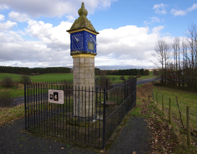
Countess Pillar

The Countess Pillar is a 17th-century monument near Brougham, Cumbria, England, between Penrith and Appleby. It is two miles east of Penrith on the A66...

Eamont Bridge

Eamont Bridge is a small village immediately to the south of Penrith, Cumbria, England. The village is named after the bridge over the River Eamont and...

Carleton, Penrith

Carleton is a suburb of the town of Penrith, Cumbria, England, that has seen a huge growth in housing since the 1960s and is, of 2018, still expanding...

Nearby Amenities

Located within 500m of 54.65,-2.72
Brocavum Roman Fort
Historic: archaeological_site
Wikidata: Q16824574
Wikipedia: en:Brocavum
Lat/Long: 54.6531671/-2.7172709
Barrier: kissing_gate
Lat/Long: 54.6543509/-2.7186901
Entrance: yes
Lat/Long: 54.6542318/-2.71866
Entrance: main
Lat/Long: 54.6540905/-2.7170394
The Keep in the 14th Century
Board Type: history
Information: board
Tourism: information
Lat/Long: 54.6541154/-2.7188708
The Castle of Lady Anne Clifford
Board Type: history
Information: board
Tourism: information
Lat/Long: 54.653909/-2.7189171
Barrier: kissing_gate
Lat/Long: 54.6536976/-2.7184714
The Castle of Roger Clifford
Information: board
Tourism: information
Lat/Long: 54.6539241/-2.7191967
The Castle of Robert de Vieuxpont
Board Type: history
Information: board
Tourism: information
Lat/Long: 54.6541185/-2.71919
Leisure: picnic_table
Lat/Long: 54.6538139/-2.7192899
Leisure: picnic_table
Lat/Long: 54.6539745/-2.7192637
Man Made: water_well
Wikimedia Commons: File:The well at Brougham Castle - geograph.org.uk - 1527904.jpg
Lat/Long: 54.6537709/-2.7191001
Entrance: yes
Lat/Long: 54.6542116/-2.7190771
The Castle of Robert Clifford
Board Type: history
Information: board
Tourism: information
Lat/Long: 54.6540083/-2.7191933
Bench
Backrest: yes
Lat/Long: 54.6542154/-2.7192557
Barrier: entrance
Lat/Long: 54.6538632/-2.7185476
Power: pole
Lat/Long: 54.6462847/-2.7231124
Power: pole
Lat/Long: 54.6529693/-2.7153077
Power: pole
Lat/Long: 54.6523276/-2.7156814
Power: pole
Lat/Long: 54.6514146/-2.7148853
Power: pole
Lat/Long: 54.6499467/-2.7136118
Power: pole
Lat/Long: 54.6491335/-2.7129133
The data included in this document is from www.openstreetmap.org. The data is made available under ODbL.

Have you been to Brougham Castle?

Leave your review of Brougham Castle below (or comments, questions and feedback).