Brocavvm
Heritage Site in Westmorland Eden
England
Brocavvm
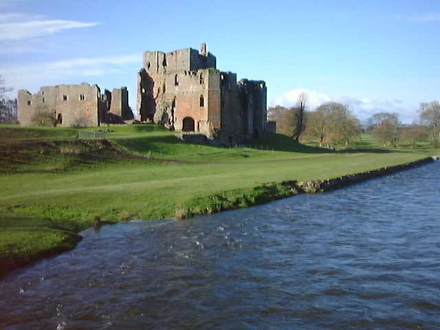
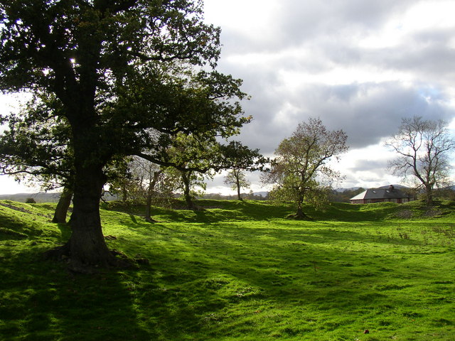
Brocavvm, located in Westmorland, is a renowned heritage site that holds significant historical and cultural value. The site, dating back to the Roman period, is situated on a hilltop overlooking the picturesque countryside of Westmorland, England.
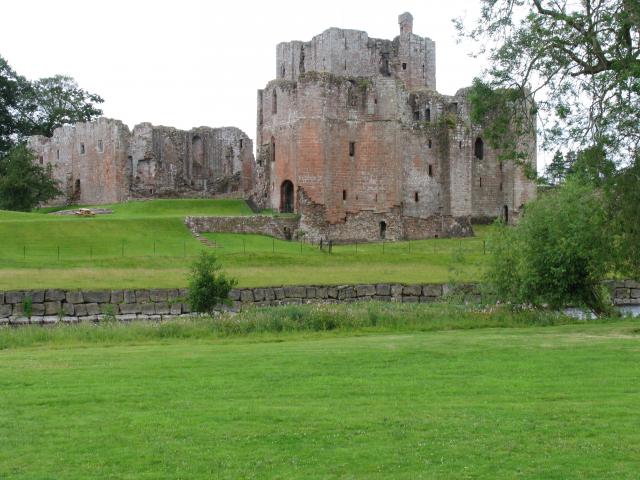
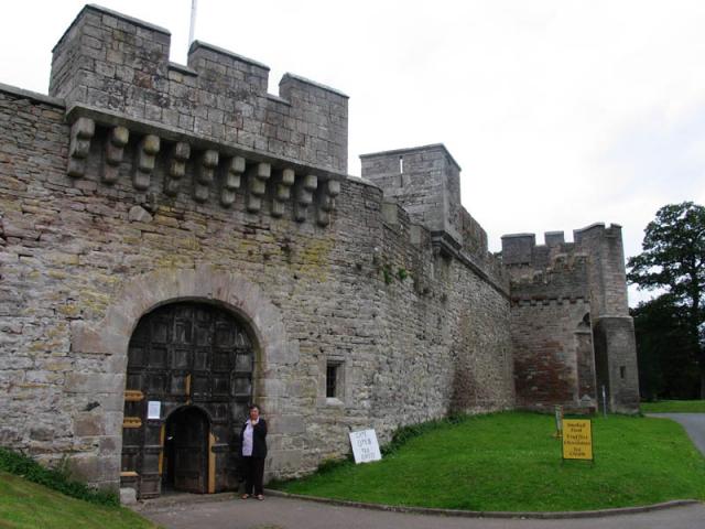
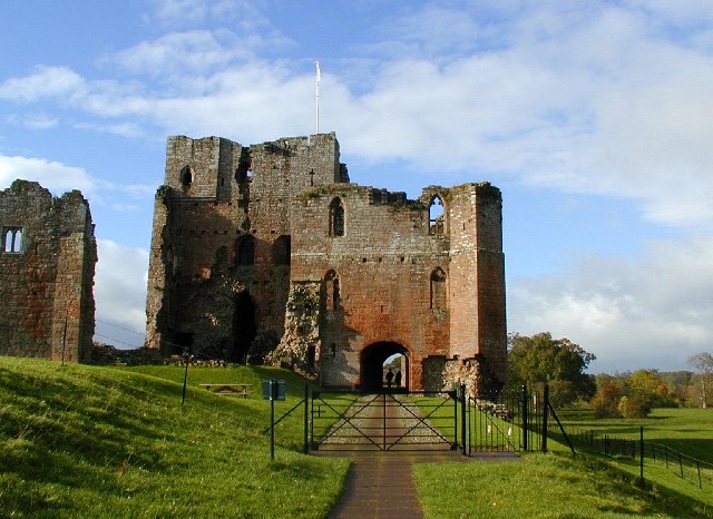
Brocavvm was once a bustling Roman fort, strategically positioned to guard the important Roman road known as the A1. The fort played a vital role in maintaining control and ensuring the safety of the region during the Roman occupation. The remains of the fortification, including walls, ditches, and gateways, can still be observed today.
The site offers visitors a fascinating glimpse into the life of Roman soldiers stationed at Brocavvm. Excavations have uncovered various artifacts, such as pottery, coins, and tools, shedding light on the daily activities and routines of the soldiers. Additionally, the remains of a bathhouse have been discovered, showcasing the luxurious amenities enjoyed by the Roman troops.
Brocavvm also boasts a small museum, which displays a wide range of artifacts found in the surrounding area. The museum provides visitors with a comprehensive overview of the site's history and significance, offering a deeper understanding of the Roman presence in Westmorland.
The location of Brocavvm offers breathtaking views of the surrounding countryside, making it an ideal destination for nature enthusiasts and history lovers alike. The site is easily accessible, with well-maintained paths and informative signage ensuring a pleasant and educational visit.
Overall, Brocavvm in Westmorland stands as a testament to the rich Roman heritage of the region, offering visitors an immersive experience into the history and culture of this ancient civilization.
If you have any feedback on the listing, please let us know in the comments section below.
Brocavvm Images
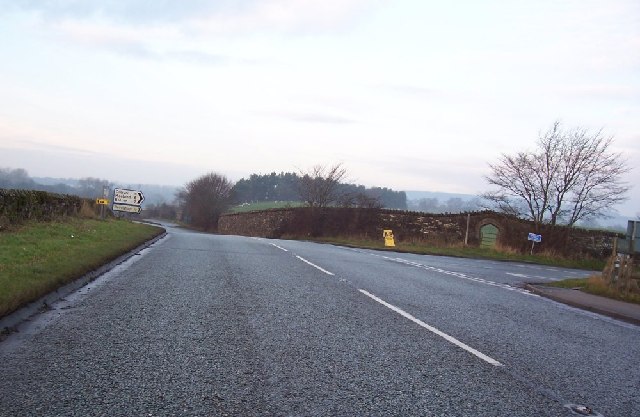
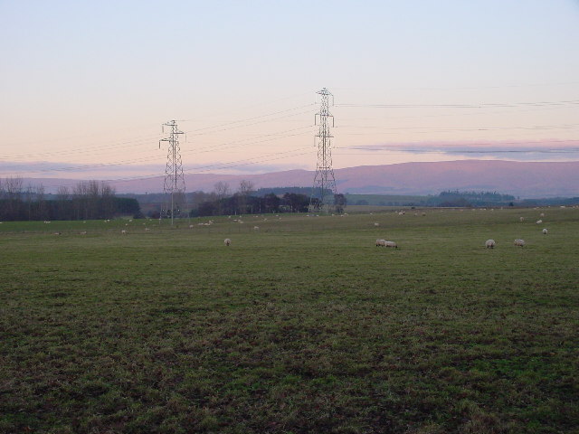
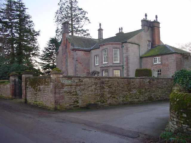
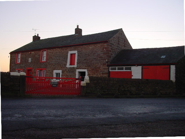
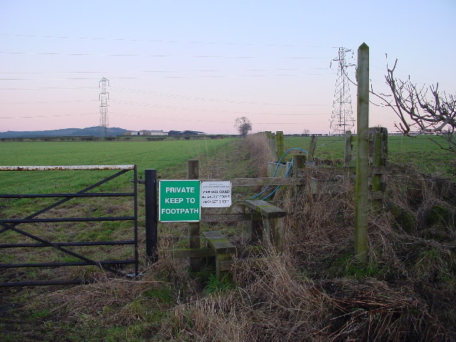
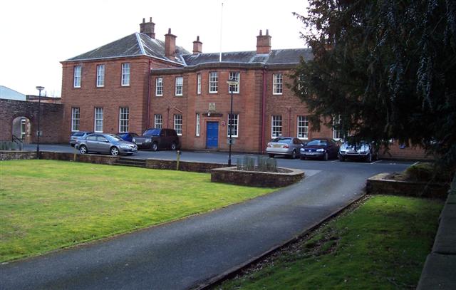
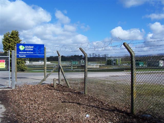
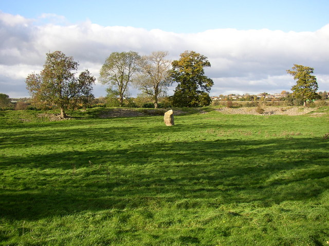
Images are sourced within 2km of 54.65/-2.72 or Grid Reference NY5328. Thanks to Geograph Open Source API. All images are credited.

Brocavvm is located at Grid Ref: NY5328 (Lat: 54.65, Lng: -2.72)
Administrative County: Cumbria
District: Eden
Police Authority: Cumbria
What 3 Words
///with.merge.shot. Near Penrith, Cumbria
Nearby Locations
Related Wikis

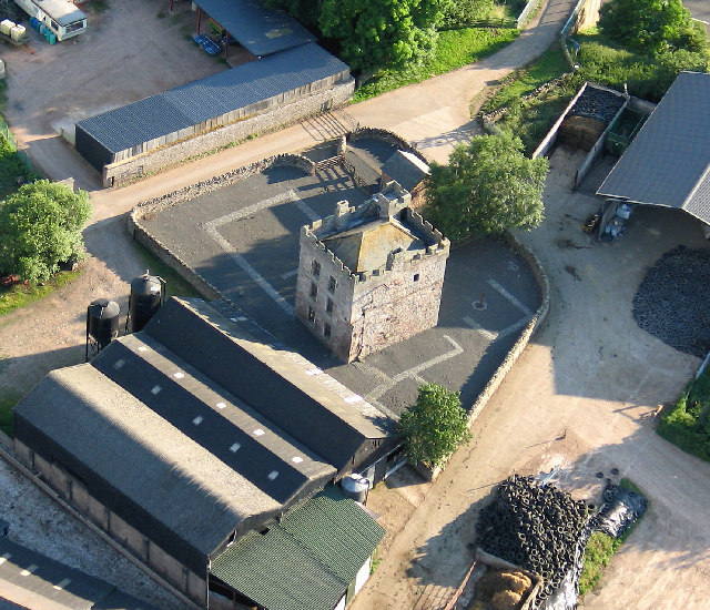
Brocavum
Brocavum is the Latin name of a Roman fort at Brougham near Penrith, Cumbria. The fort survives as earthworks, but no excavation of these has been carried...

Brougham Castle
Brougham Castle (pronounced ) is a medieval building about 2 miles (3.2 km) south-east of Penrith, Cumbria, England. The castle was founded by Robert I...

Brougham, Cumbria
Brougham is a small village (or more properly a collection of hamlets) and civil parish on the outskirts of Penrith in the Eden District of Cumbria, England...

Brougham Hall
Brougham Hall is located in the village of Brougham just outside Penrith, Cumbria, England. == History == The de Burgham family may have held land at Brougham...

Penrith A.F.C.
Penrith Association Football Club is a football club based in Penrith, Cumbria, England. They play in the Northern Football League Division One and their...
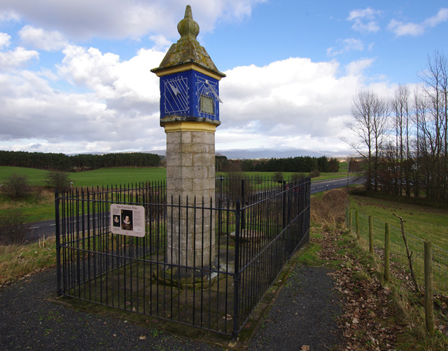
Countess Pillar
The Countess Pillar is a 17th-century monument near Brougham, Cumbria, England, between Penrith and Appleby. It is two miles east of Penrith on the A66...

Eamont Bridge
Eamont Bridge is a small village immediately to the south of Penrith, Cumbria, England. The village is named after the bridge over the River Eamont and...

Carleton, Penrith
Carleton is a suburb of the town of Penrith, Cumbria, England, that has seen a huge growth in housing since the 1960s and is, of 2018, still expanding...
Nearby Amenities
Located within 500m of 54.65,-2.72Have you been to Brocavvm ?
Leave your review of Brocavvm below (or comments, questions and feedback).