Broadway/Clump Farm

Heritage Site in Worcestershire Wychavon

England

Broadway/Clump Farm

Isolated bungalow near Broadway Country Park Photographed from a public foot path. Note the 'fox' on top of the chimney.
Isolated bungalow near Broadway Country Park Credit: Chris Allen

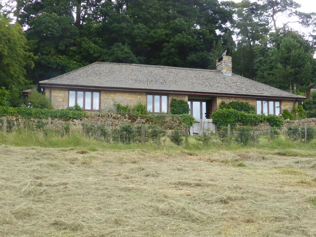
Broadway/Clump Farm is a historic heritage site located in Worcestershire, England. Situated in the picturesque village of Broadway, the farm has a rich history dating back several centuries. The site is renowned for its well-preserved traditional farm buildings and agricultural landscape, making it an important landmark in the region.

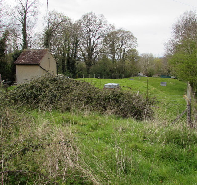
The farm consists of a cluster of traditional timber-framed buildings, including a barn, a farmhouse, and various outbuildings. These structures showcase the architectural style and construction techniques prevalent in the area during the 17th and 18th centuries. The buildings have been carefully restored and maintained, retaining their original charm and character.

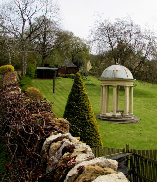
Surrounded by idyllic countryside, Broadway/Clump Farm is a testament to the agricultural heritage of Worcestershire. The farm's layout and landscape reflect the traditional farming methods practiced in the region, including pasture fields and hedgerows. The site also features a clump, a small wooded area, which adds to its aesthetic appeal and historical significance.

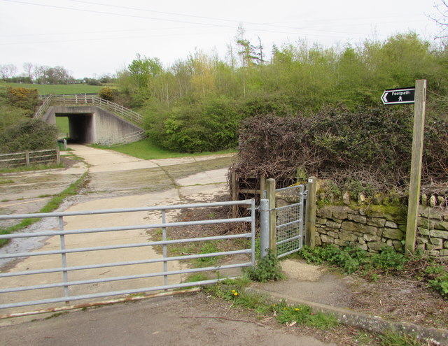
Visitors to Broadway/Clump Farm can experience a glimpse into Worcestershire's farming history. The site offers guided tours, allowing visitors to explore the farm buildings and learn about the daily life and practices of past generations. The farm also hosts educational programs, workshops, and events, providing an engaging and immersive experience for all ages.

Broadway/Clump Farm is not only a valuable heritage site but also serves as a living testament to the cultural and agricultural traditions of Worcestershire. Its well-preserved buildings and landscape make it a popular attraction for history enthusiasts, tourists, and locals alike.

If you have any feedback on the listing, please let us know in the comments section below.

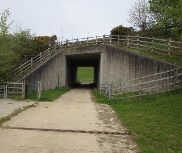
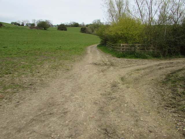
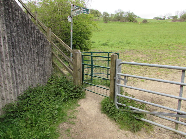
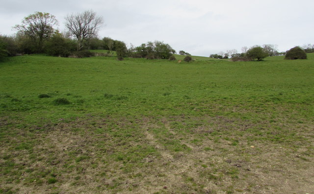
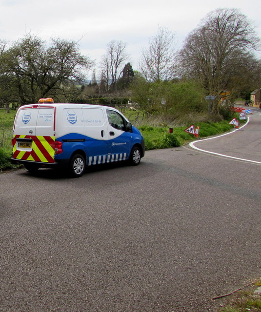
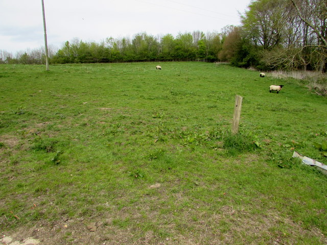
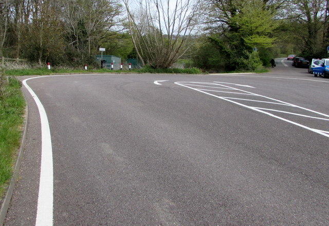
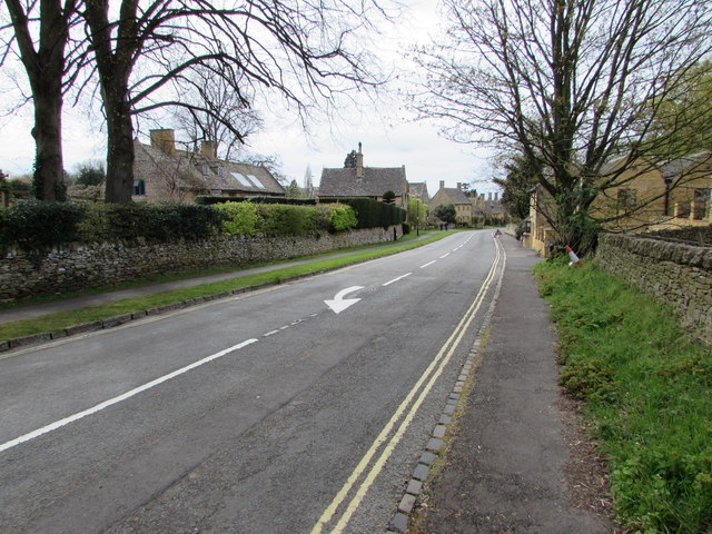
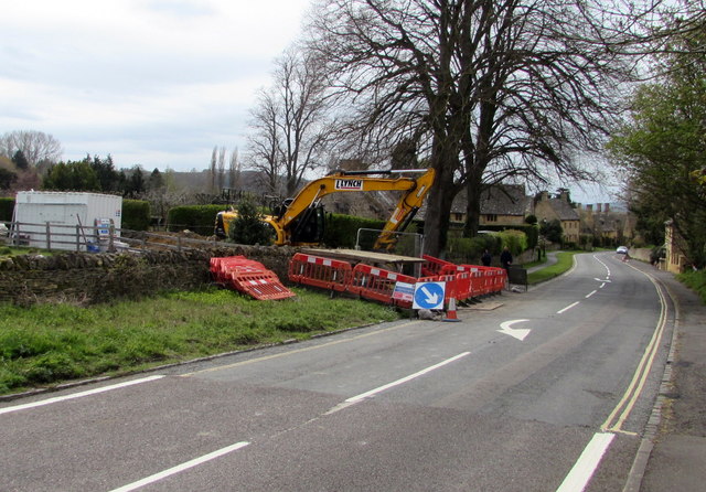
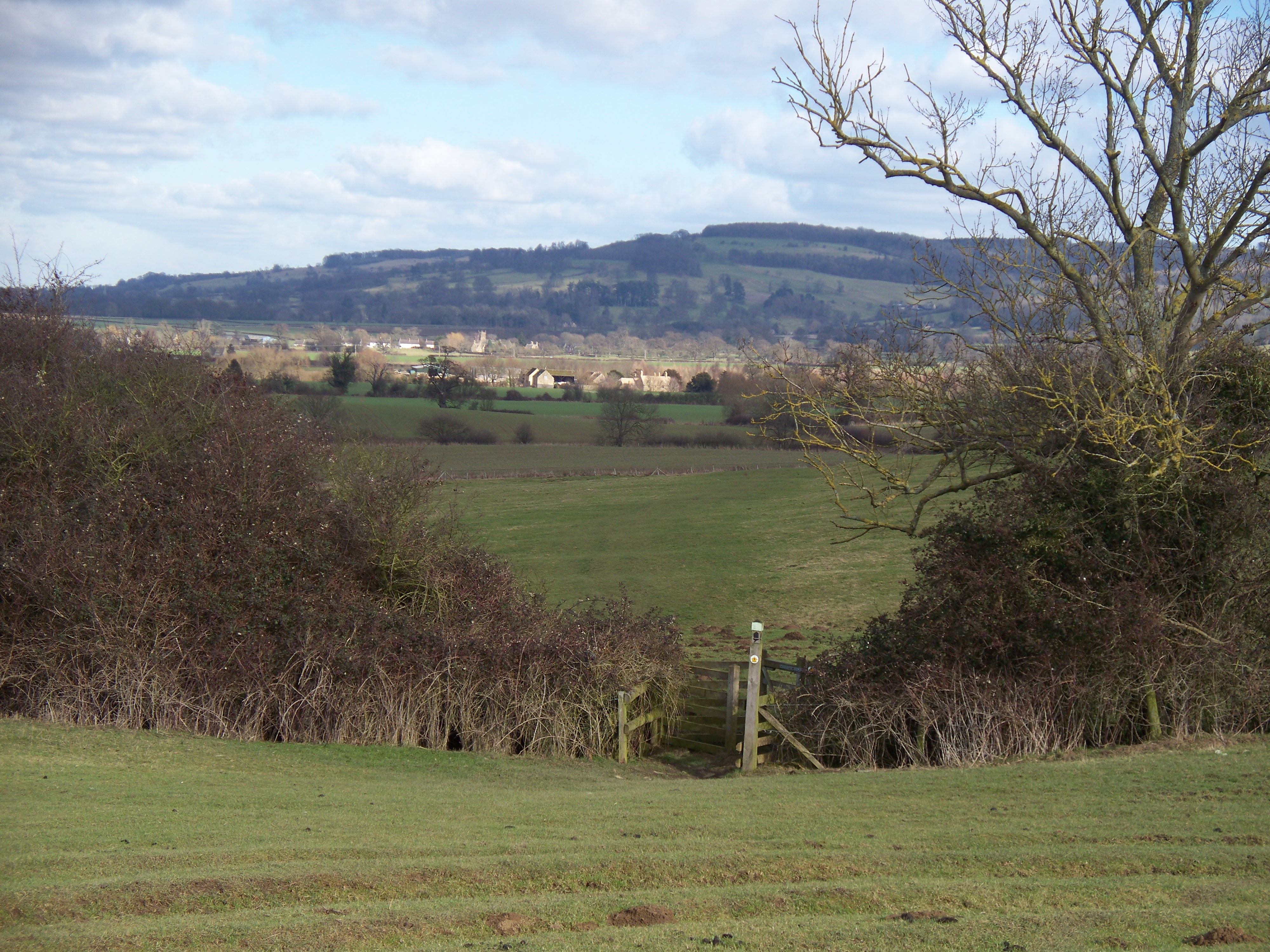
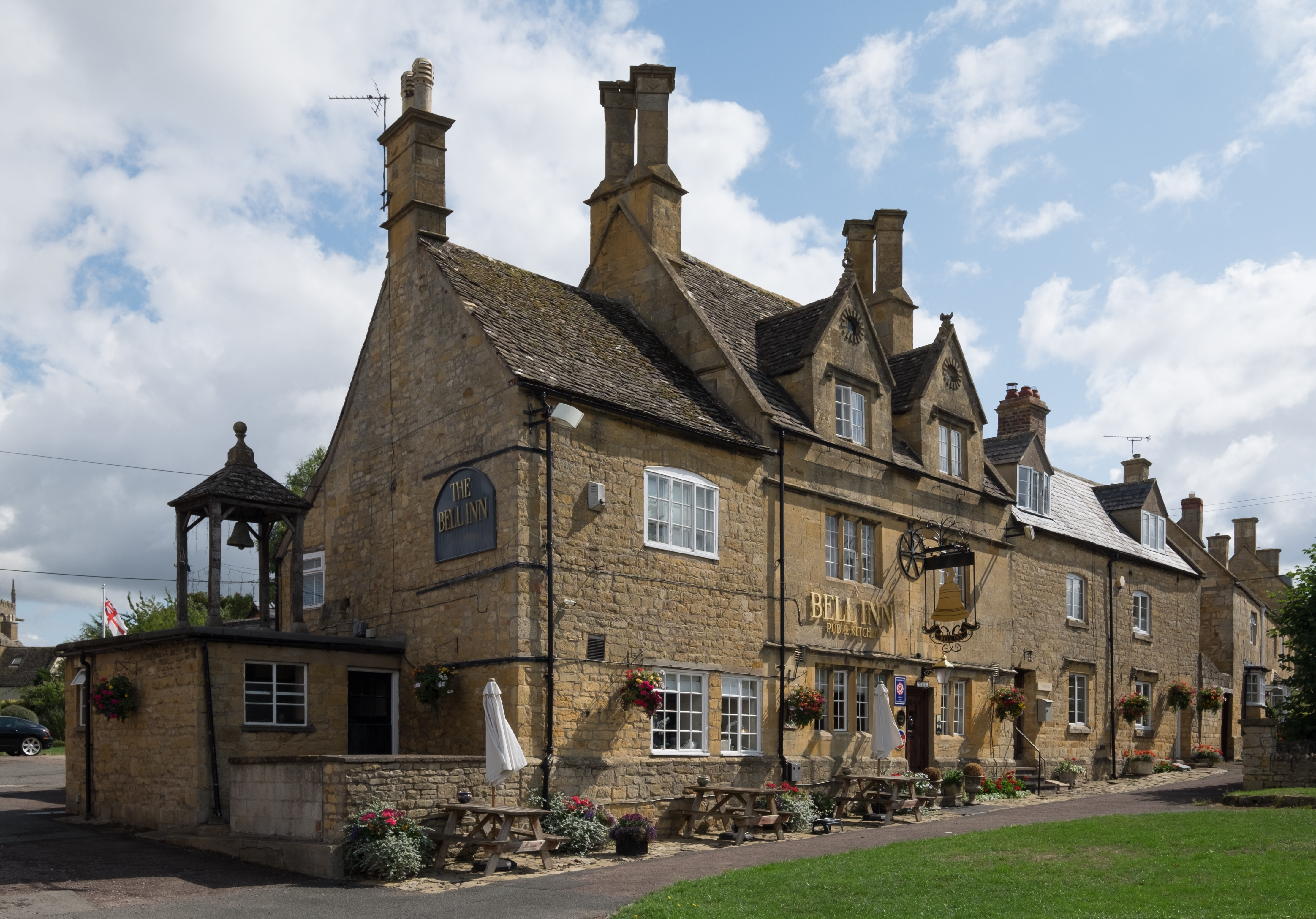
Broadway/Clump Farm Images

Images are sourced within 2km of 52.029/-1.841 or Grid Reference SP1136. Thanks to Geograph Open Source API. All images are credited.

Isolated bungalow near Broadway Country Park Photographed from a public foot path. Note the 'fox' on top of the chimney.
Isolated bungalow near Broadway Country Park
Photographed from a public foot path. Note the 'fox' on top of the chimney.
Turning area at the eastern end of High Street, Broadway Broadway's High Street east of Leamington Road is a dead end street for motor vehicles. 
Several tourist coaches passed me today as I was approaching this turning area.
For them, using this area was the easiest way to turn around on High Street.
Turning area at the eastern end of High Street, Broadway
Broadway's High Street east of Leamington Road is a dead end street for motor vehicles. Several tourist coaches passed me today as I was approaching this turning area. For them, using this area was the easiest way to turn around on High Street.
No turning area ahead sign east of High Street, Broadway Viewed from the edge of this <a title="https://www.geograph.org.uk/photo/4932544" href="https://www.geograph.org.uk/photo/4932544">Link</a> turning area.
No turning area ahead sign east of High Street, Broadway
Viewed from the edge of this Link turning area.
Locked entrance gate to a Severn Trent Water site, Broadway Near the turning area <a title="https://www.geograph.org.uk/photo/4932544" href="https://www.geograph.org.uk/photo/4932544">Link</a> at the eastern end of High Street. 
The nameboard on the left shows  Severn Trent Water Worcester District Broadway.
Maps show that the site contains covered reservoirs.
Locked entrance gate to a Severn Trent Water site, Broadway
Near the turning area Link at the eastern end of High Street. The nameboard on the left shows Severn Trent Water Worcester District Broadway. Maps show that the site contains covered reservoirs.
Fish Hill underpass, Broadway A public footpath towards Chipping Campden passes under the A44 Fish Hill.
Fish Hill underpass, Broadway
A public footpath towards Chipping Campden passes under the A44 Fish Hill.
Public footpath junction, Broadway A nearby signpost shows that the path ahead is towards Chipping Campden. The right turn is towards The Fish.
Public footpath junction, Broadway
A nearby signpost shows that the path ahead is towards Chipping Campden. The right turn is towards The Fish.
Kissing gate across a public footpath, Broadway Between the far side of this A44 underpass <a title="https://www.geograph.org.uk/photo/4932608" href="https://www.geograph.org.uk/photo/4932608">Link</a> and a path junction. <a title="https://www.geograph.org.uk/photo/4932619" href="https://www.geograph.org.uk/photo/4932619">Link</a>
Kissing gate across a public footpath, Broadway
Between the far side of this A44 underpass Link and a path junction. Link
Gently sloping ground, Broadway Ascending from the north side of this <a title="https://www.geograph.org.uk/photo/4932619" href="https://www.geograph.org.uk/photo/4932619">Link</a> path junction.
Gently sloping ground, Broadway
Ascending from the north side of this Link path junction.
Covered reservoir in the east of Broadway Viewed over the perimeter fence of the Severn Trent Water site.
Covered reservoir in the east of Broadway
Viewed over the perimeter fence of the Severn Trent Water site.
Public footpath towards an underpass, Broadway This is the Broadway side of a public footpath towards Chipping Campden. 
The underpass <a title="https://www.geograph.org.uk/photo/4932608" href="https://www.geograph.org.uk/photo/4932608">Link</a> is below the A44 Fish Hill.
Public footpath towards an underpass, Broadway
This is the Broadway side of a public footpath towards Chipping Campden. The underpass Link is below the A44 Fish Hill.
Pillared and domed structure over a bench in a Broadway garden Giving protection from rain falling vertically, but not from wind-blown rain.
Pillared and domed structure over a bench in a Broadway garden
Giving protection from rain falling vertically, but not from wind-blown rain.
Double white lines on a dead-end road east of High Street, Broadway In 2016, this road ends about 300 metres ahead, near the A44 Fish Hill. Old maps show that this used to be a through road, before the construction of the current route of the A44. 

This road appears to be where a few visitors to Broadway choose to park a car for free, to avoid using the pay and display car parks in the village, though this location is nearly a kilometre from the village centre.
Double white lines on a dead-end road east of High Street, Broadway
In 2016, this road ends about 300 metres ahead, near the A44 Fish Hill. Old maps show that this used to be a through road, before the construction of the current route of the A44. This road appears to be where a few visitors to Broadway choose to park a car for free, to avoid using the pay and display car parks in the village, though this location is nearly a kilometre from the village centre.
Thames Water van in Severn Trent Water territory, Broadway I don't know where the northern edge of the Thames Water area is, but it must be some way south of this point in SE Worcestershire. The Thames Water  van is parked near an entrance <a title="https://www.geograph.org.uk/photo/4932597" href="https://www.geograph.org.uk/photo/4932597">Link</a> to a Severn Trent Water site.
Thames Water van in Severn Trent Water territory, Broadway
I don't know where the northern edge of the Thames Water area is, but it must be some way south of this point in SE Worcestershire. The Thames Water van is parked near an entrance Link to a Severn Trent Water site.
Sheep in a Broadway field Viewed from a field gate on the north side of the turning area <a title="https://www.geograph.org.uk/photo/4932544" href="https://www.geograph.org.uk/photo/4932544">Link</a> at the eastern end of High Street.
Sheep in a Broadway field
Viewed from a field gate on the north side of the turning area Link at the eastern end of High Street.
Eastern end of High Street, Broadway High Street Broadway ends at this turning area. 
On the right, the narrow road beyond the turning area is a dead end.
Eastern end of High Street, Broadway
High Street Broadway ends at this turning area. On the right, the narrow road beyond the turning area is a dead end.
White arrow on High Street, Broadway On the approach to the turning area <a title="https://www.geograph.org.uk/photo/4932544" href="https://www.geograph.org.uk/photo/4932544">Link</a> at the eastern end of High Street.
White arrow on High Street, Broadway
On the approach to the turning area Link at the eastern end of High Street.
Flood alleviation work at the eastern end of High Street, Broadway Viewed on May 1st 2016. A nearby temporary sign shows
Flood alleviation work on behalf of Worcestershire Highways.
Flood alleviation work at the eastern end of High Street, Broadway
Viewed on May 1st 2016. A nearby temporary sign shows Flood alleviation work on behalf of Worcestershire Highways.
L Lynch excavator at the edge of High Street, Broadway Viewed on May 1st 2016. A nearby temporary sign shows
Flood alleviation work on behalf of Worcestershire Highways.
L Lynch (Lynch Plant Hire) are specialists who provide self-drive and operated 
plant hire to a variety of sectors within the construction industry.
L Lynch excavator at the edge of High Street, Broadway
Viewed on May 1st 2016. A nearby temporary sign shows Flood alleviation work on behalf of Worcestershire Highways. L Lynch (Lynch Plant Hire) are specialists who provide self-drive and operated plant hire to a variety of sectors within the construction industry.
Show me another place!

Broadway/Clump Farm is located at Grid Ref: SP1136 (Lat: 52.029, Lng: -1.841)

Administrative County: Worcestershire

District: Wychavon

Police Authority: West Mercia

What 3 Words

///lift.list.centuries. Near Broadway, Worcestershire

Related Wikis

Broadway Tower, Worcestershire

Broadway Tower is an 18th-century folly near the village of Broadway, in the English county of Worcestershire. It is a Grade II listed building.Broadway...
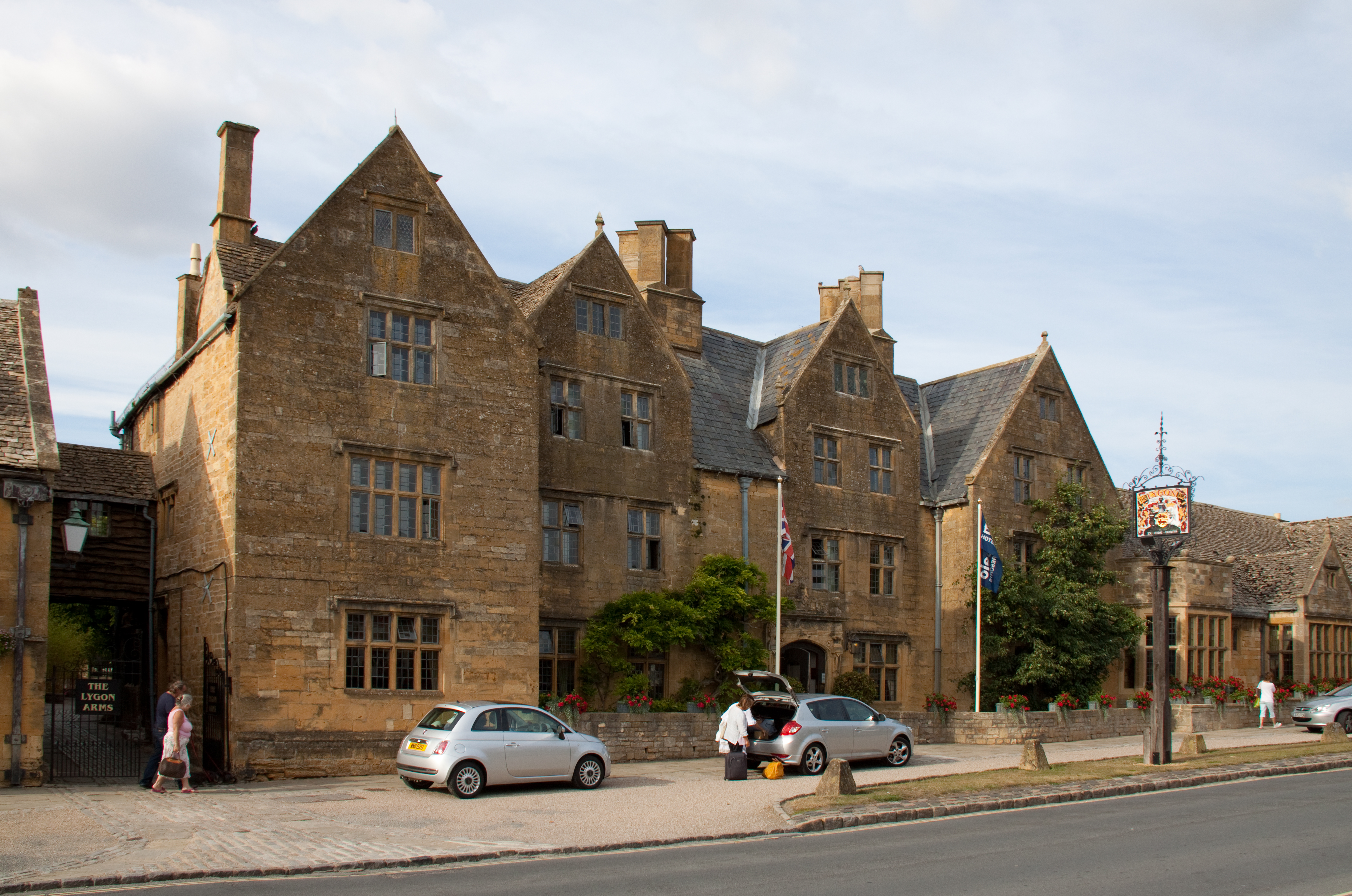
Lygon Arms

The Lygon Arms ( LIG-ən) is a Grade II* listed hotel in Broadway, Worcestershire, originally a coaching inn. The current building dates from the seventeenth...

Broadway War Memorial

The Broadway War Memorial is located on the village green in the village of Broadway in Worcestershire. The memorial marks the deaths of local individuals...

Broadway, Worcestershire

Broadway is a large village and civil parish in the Cotswolds, England, with a population of 2,540 at the 2011 census. It is in the far southeast of Worcestershire...

Seven Wells Hill

Seven Wells Hill is a prominent hill in the Cotswolds hill range in the counties of Gloucestershire and Worcestershire. At 319 metres (1,047 ft), is the...

Shenberrow Hill

Shenberrow Hill is a prominent hill in the Cotswolds hill range in the county of Gloucestershire and, at 304 metres (997 ft), is the third highest point...

Willersey

Willersey is a village in Gloucestershire, South West England, situated close to the boundary with Worcestershire, West Midlands region and southwest of...

Broadway railway station

Broadway railway station is a railway station on the heritage Gloucestershire Warwickshire Railway in the village of Broadway in Worcestershire, England...

Nearby Amenities

Located within 500m of 52.029,-1.841
Barrier: kissing_gate
Foot: yes
Lat/Long: 52.0305424/-1.8462507
Bench
Lat/Long: 52.0287626/-1.8448435
Bench
Lat/Long: 52.0287971/-1.8448021
Bench
Lat/Long: 52.0288284/-1.8447405
Barrier: stile
Foot: yes
Lat/Long: 52.0264176/-1.8400031
Tourism: viewpoint
Lat/Long: 52.0288104/-1.8447792
Barrier: stile
Foot: yes
Lat/Long: 52.0275052/-1.8423358
Barrier: stile
Foot: yes
Lat/Long: 52.0288583/-1.8444846
The data included in this document is from www.openstreetmap.org. The data is made available under ODbL.

Have you been to Broadway/Clump Farm?

Leave your review of Broadway/Clump Farm below (or comments, questions and feedback).