Bell Hill

Hill, Mountain in Kirkcudbrightshire

Scotland

Bell Hill

The A711 leaving Kirkcudbright
The A711 leaving Kirkcudbright Credit: habiloid

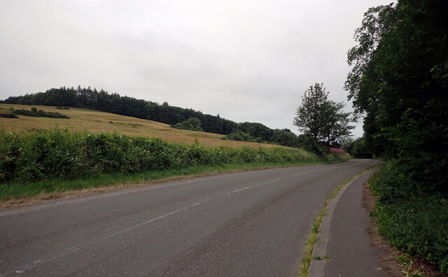
Bell Hill is a prominent hill located in the historical county of Kirkcudbrightshire, Scotland. Situated near the town of Gatehouse of Fleet, this hill stands at an elevation of approximately 163 meters (535 feet) above sea level.

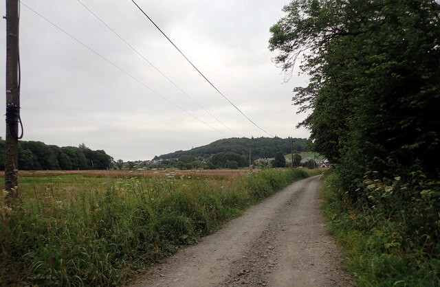
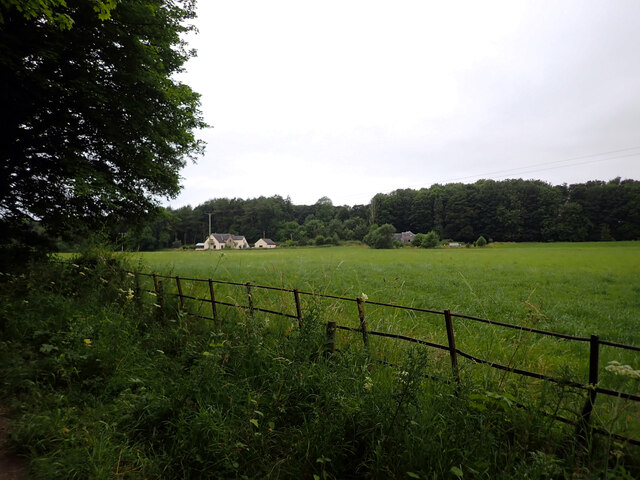
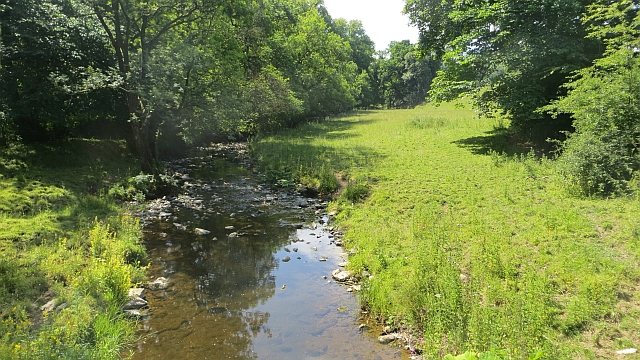
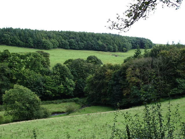
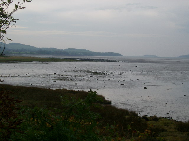
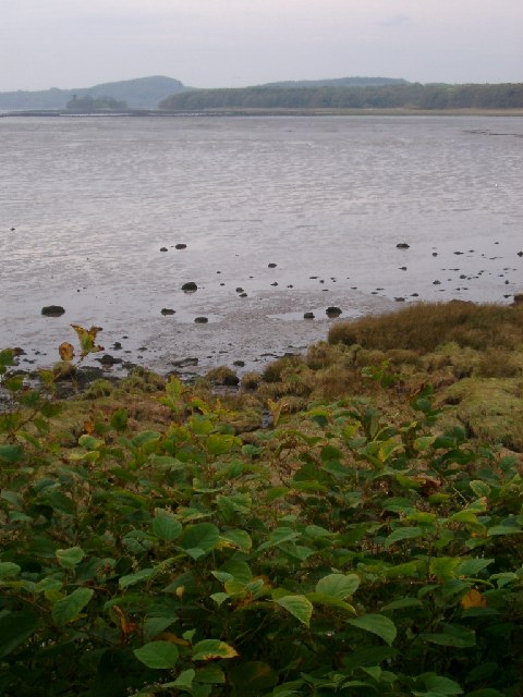
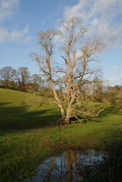
The hill is characterized by its gently sloping terrain and is primarily composed of grass and heather, providing a picturesque landscape. It offers breathtaking panoramic views of the surrounding area, including the Solway Firth and the Galloway Hills.

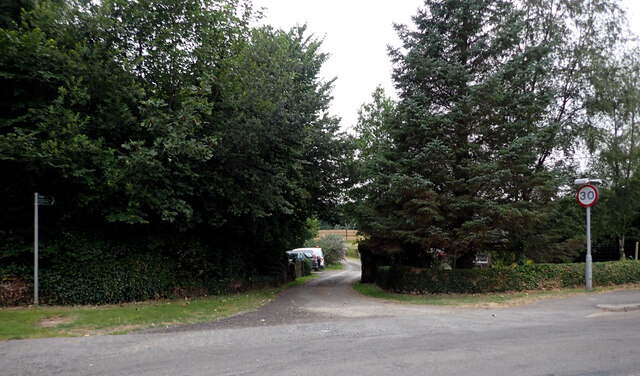
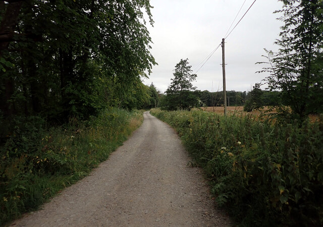
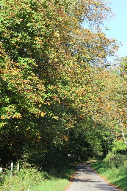
With its accessible location and well-maintained trails, Bell Hill is a popular destination for hikers and nature enthusiasts. The hill provides a range of walking routes suitable for all levels of fitness, offering opportunities for leisurely walks or more challenging hikes.

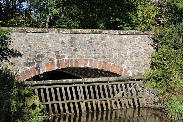
In addition to its natural beauty, Bell Hill is also known for its historical significance. Nearby, there are remnants of ancient forts and settlements, highlighting the area's rich cultural heritage. Visitors can explore these archaeological sites and learn about the region's past.

Bell Hill is an ideal spot for outdoor activities such as picnics, birdwatching, and photography. The hill's diverse flora and fauna, including wildflowers and various bird species, attract nature lovers throughout the year.

Overall, Bell Hill offers a perfect blend of natural and historical attractions, making it a must-visit destination for those seeking tranquility and a connection with Scotland's heritage.

If you have any feedback on the listing, please let us know in the comments section below.
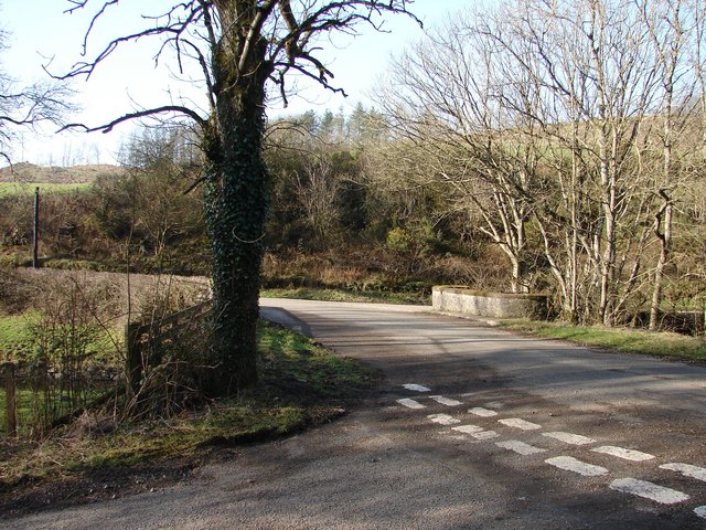
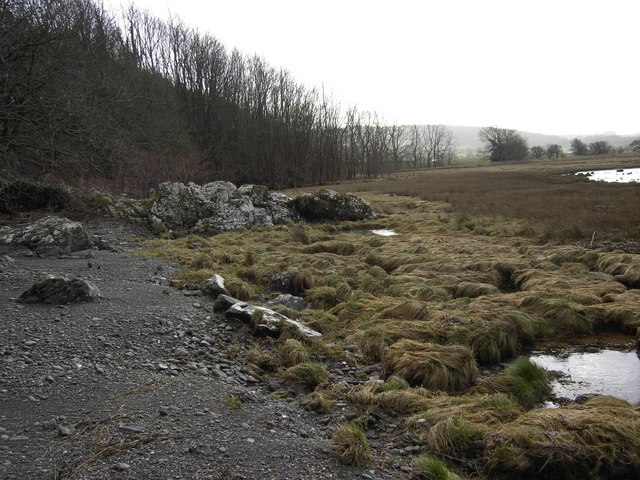
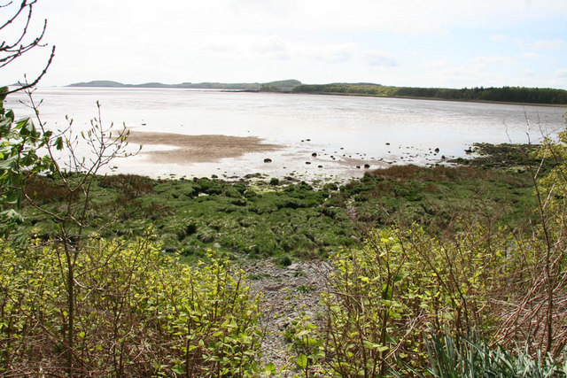
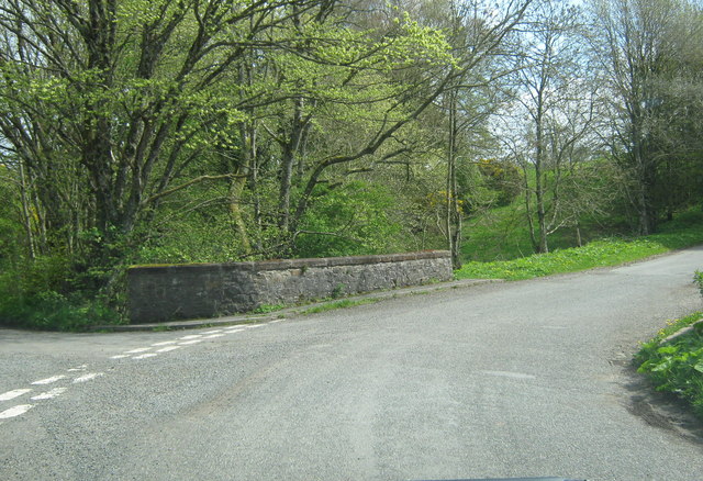
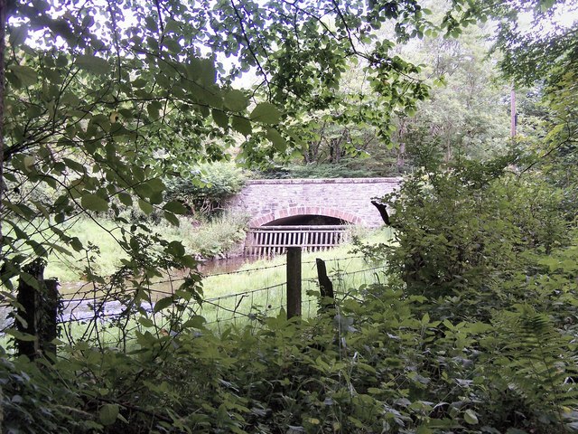
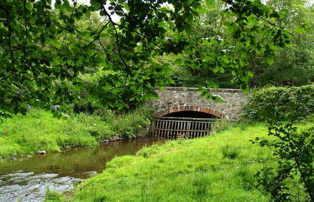
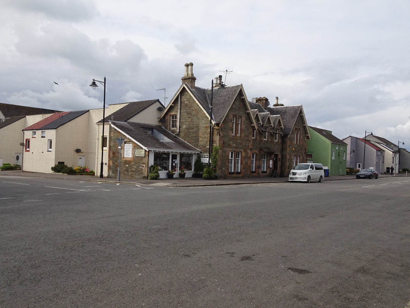
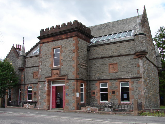
Bell Hill Images

Images are sourced within 2km of 54.837707/-4.0415792 or Grid Reference NX6851. Thanks to Geograph Open Source API. All images are credited.

The A711 leaving Kirkcudbright
A track to St. Mary's Isle leaving the A711, Kirkcudbright
Track, St. Mary's Isle, Kirkcudbright St Mary's Isle in a peninsula in the estuary of the River Dee to the south of Kirkcudbright. It lies between Manxman's Lake and Goat Well Bay. At low tide it is about 1.75km long and 550m wide at its widest. The tidal island of Inch lies to its south off Point of the Isle. There was an Augustinian Priory on the Isle between the 12th and 16th centuries; all traces of it were removed when the Earls of Selkirk landscaped the Isle in the 17th and 18th centuries.
Track, St. Mary's Isle, Kirkcudbright
St Mary's Isle in a peninsula in the estuary of the River Dee to the south of Kirkcudbright. It lies between Manxman's Lake and Goat Well Bay. At low tide it is about 1.75km long and 550m wide at its widest. The tidal island of Inch lies to its south off Point of the Isle. There was an Augustinian Priory on the Isle between the 12th and 16th centuries; all traces of it were removed when the Earls of Selkirk landscaped the Isle in the 17th and 18th centuries.
Cow Green, St. Mary's Isle, Kirkcudbright St Mary's Isle in a peninsula in the estuary of the River Dee to the south of Kirkcudbright. It lies between Manxman's Lake and Goat Well Bay. At low tide it is about 1.75km long and 550m wide at its widest. The tidal island of Inch lies to its south off Point of the Isle. There was an Augustinian Priory on the Isle between the 12th and 16th centuries; all traces of it were removed when the Earls of Selkirk landscaped the Isle in the 17th and 18th centuries.
Cow Green, St. Mary's Isle, Kirkcudbright
St Mary's Isle in a peninsula in the estuary of the River Dee to the south of Kirkcudbright. It lies between Manxman's Lake and Goat Well Bay. At low tide it is about 1.75km long and 550m wide at its widest. The tidal island of Inch lies to its south off Point of the Isle. There was an Augustinian Priory on the Isle between the 12th and 16th centuries; all traces of it were removed when the Earls of Selkirk landscaped the Isle in the 17th and 18th centuries.
Buckland Burn Downstream from Buckland Bridge.
Buckland Burn
Downstream from Buckland Bridge.
Minor Road SW of Buckland Bridge
Buckland Bridge
Buckland Bridge
The Buckland Burn at Cannee This is a view of the burn just after the Buckland Bridge, taken from the road, just before it enters the former Orchard Banks Plantation
The Buckland Burn at Cannee
This is a view of the burn just after the Buckland Bridge, taken from the road, just before it enters the former Orchard Banks Plantation
Manxman's Lake near Kirkcudbright on the East side of Kirkcudbright Bay looking Southish
Manxman's Lake
near Kirkcudbright on the East side of Kirkcudbright Bay looking Southish
shore on Black Moray Plantation, Kirkcudbright looking across Manxman's Bay (tide fairly well out) to St Mary's Isle
shore on Black Moray Plantation, Kirkcudbright
looking across Manxman's Bay (tide fairly well out) to St Mary's Isle
Dead Tree, Buckland Burn
Buckland Bridge Buckland Bridge crosses the Buckland Burn at the lower end of Bombie Glen. It is also a junction of 4 lanes to/from Dundrennan, Kirkcudbright, Mutehill and Whinnieliggate.
Buckland Bridge
Buckland Bridge crosses the Buckland Burn at the lower end of Bombie Glen. It is also a junction of 4 lanes to/from Dundrennan, Kirkcudbright, Mutehill and Whinnieliggate.
Foreshore The foreshore near Kirkcudbright.
Foreshore
The foreshore near Kirkcudbright.
Manxman's Lake Looking across to St. Mary's Isle.
Manxman's Lake
Looking across to St. Mary's Isle.
Buckland bridge The Buckland Bridge is on an unclassified road near to Kirkcudbright.  It crosses the Buckland Burn.
Buckland bridge
The Buckland Bridge is on an unclassified road near to Kirkcudbright. It crosses the Buckland Burn.
Buckland Bridge
Buckland Bridge
Buckland Bridge and the Buckland Burn.
Show me another place!

Bell Hill is located at Grid Ref: NX6851 (Lat: 54.837707, Lng: -4.0415792)

Unitary Authority: Dumfries and Galloway

Police Authority: Dumfries and Galloway

What 3 Words

///pricing.panting.devalued. Near Kirkcudbright, Dumfries & Galloway

Related Wikis

Kirkcudbright railway station

Kirkcudbright railway station served the town of Kirkcudbright, Dumfries and Galloway, Scotland from 1864 to 1965 on the Kirkcudbright Railway. == History... ==

Kirkcudbright Railway

The Kirkcudbright Railway was a railway branch line linking Kirkcudbright to the Castle Douglas and Dumfries Railway at Castle Douglas. It opened in 1864...

Kirkcudbright Town Hall

Kirkcudbright Town Hall is a municipal building in St Mary's Street, Kirkcudbright, Scotland. The building, which was the headquarters of Kirkcudbright...

Kirkcudbright Hospital

Kirkcudbright Hospital is a health facility in Barrhill Road, Kirkcudbright, Dumfries and Galloway, Scotland. It is managed by NHS Dumfries and Galloway...

Stewartry Museum

The Stewartry Museum is a local museum in Kirkcudbright, Scotland, which covers the history of this part of Galloway. == History == The museum was originally...

Kirkcudbright war memorial

Kirkcudbright war memorial commemorates the men of the Scottish town of Kirkcudbright killed during the First and Second World Wars. It is situated in...

County Buildings, Kirkcudbright

County Buildings is a municipal building in Kirkcudbright, in the Dumfries and Galloway council area in Scotland. It was originally two houses on High...

MacLellan's Castle

MacLellan's Castle in the town of Kirkcudbright, in Galloway, Scotland, was built in the late 16th century. It stands in the centre of Kirkcudbright...

Nearby Amenities

Located within 500m of 54.837707,-4.0415792
Source: PGS
Lat/Long: 54.8399327/-4.0478674
Source: PGS
Lat/Long: 54.8396203/-4.0481648
Source: PGS
Lat/Long: 54.8392171/-4.0484874
Source: PGS
Lat/Long: 54.8388943/-4.0488929
Bus Stop
Millflats
Naptan AtcoCode: 680000372222
Naptan Bearing: SW
Naptan CommonName: Millflats
Naptan Indicator: no 29
Naptan Landmark: Stirling Crescent
Naptan NaptanCode: 34236527
Naptan Notes: none
Naptan Street: Millflats
Naptan Verified: no
Source: naptan_import
Lat/Long: 54.8420731/-4.0418111
Bus Stop
Victoria Park
Naptan AtcoCode: 680000462111
Naptan Bearing: NE
Naptan CommonName: Victoria Park
Naptan Indicator: no 13
Naptan Landmark: Millflats
Naptan NaptanCode: 34236463
Naptan Notes: none
Naptan Street: Victoria Park
Naptan Verified: no
Source: naptan_import
Lat/Long: 54.8415359/-4.0438242
Bus Stop
Victoria Park
Naptan AtcoCode: 680000462222
Naptan Bearing: SE
Naptan CommonName: Victoria Park
Naptan Indicator: no 2
Naptan Landmark: Millflats
Naptan NaptanCode: 34236464
Naptan Notes: none
Naptan Street: Victoria Park
Naptan Verified: no
Source: naptan_import
Lat/Long: 54.8415852/-4.043562
Bus Stop
Johnston Place
Naptan AtcoCode: 680000986111
Naptan Bearing: NE
Naptan BusStopType: CUS
Naptan CommonName: Johnston Place
Naptan Indicator: no 13
Naptan Landmark: Johnston Place
Naptan NaptanCode: 34236459
Naptan Notes: none
Naptan Street: St Mary Street
Naptan Verified: no
Source: naptan_import
Lat/Long: 54.8386954/-4.047029
Bus Stop
Johnston Place
Naptan AtcoCode: 680000986222
Naptan Bearing: SW
Naptan BusStopType: CUS
Naptan CommonName: Johnston Place
Naptan Indicator: School
Naptan Landmark: Johnston Primary
Naptan NaptanCode: 34236462
Naptan Notes: none
Naptan Street: St Mary Street
Naptan Verified: no
Source: naptan_import
Lat/Long: 54.8380861/-4.0474498
Leisure: playground
Lat/Long: 54.836183/-4.044983
Kirkcudbright
Abandoned Railway: station
Operator: Glasgow and South Western Railway
Railway: site
Lat/Long: 54.8384059/-4.04774
Post Box
Post Box Type: pillar
Ref: DG6 49
Royal Cypher: GR
Royal Cypher Wikidata: Q33102273
Lat/Long: 54.840943/-4.0441726
Seamark Landmark Function: church
Seamark Type: landmark
Lat/Long: 54.8379178/-4.0474572
Seamark Landmark Category: mast
Seamark Type: landmark
Lat/Long: 54.8395506/-4.0468206
Parking
Lat/Long: 54.8355504/-4.0411273
Telephone
Booth: K6
Covered: booth
Lat/Long: 54.8408033/-4.0434883
White House Gallery
Tourism: artwork
Lat/Long: 54.8373997/-4.0482112
Ncn Milepost: rowe
Sustrans Ref: MP366
Lat/Long: 54.8384/-4.0491494
Barrier: lift_gate
Lift Gate Type: single
Lat/Long: 54.834893/-4.0474012
Leisure: playground
Lat/Long: 54.8408465/-4.0428651
Power: substation
Lat/Long: 54.8407501/-4.0432742
Dark Art Distillery
Addr Postcode: DG6 4EG
Addr Street: St Mary Street
Email: info@darkartdistillery.com
Shop: alcohol
Website: https://www.darkartdistillery.com/
Lat/Long: 54.8383331/-4.0467772
Restaurant
Auld Alliance Restaurant
Addr Housenumber: 9
Addr Postcode: DG6 4DX
Addr Street: St Cuthbert Street
Cuisine: local
Phone: +44 1557 330888
Website: https://www.auldalliancekirkcudbright.co.uk/
Lat/Long: 54.8369569/-4.048623
The data included in this document is from www.openstreetmap.org. The data is made available under ODbL.

Have you been to Bell Hill?

Leave your review of Bell Hill below (or comments, questions and feedback).