Kirkcudbright

Settlement in Kirkcudbrightshire

Scotland

Kirkcudbright

The A711 leaving Kirkcudbright
The A711 leaving Kirkcudbright Credit: habiloid

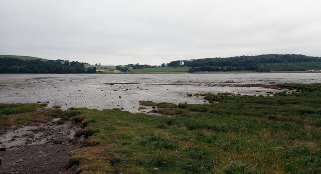
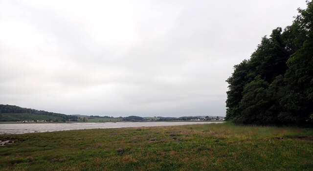
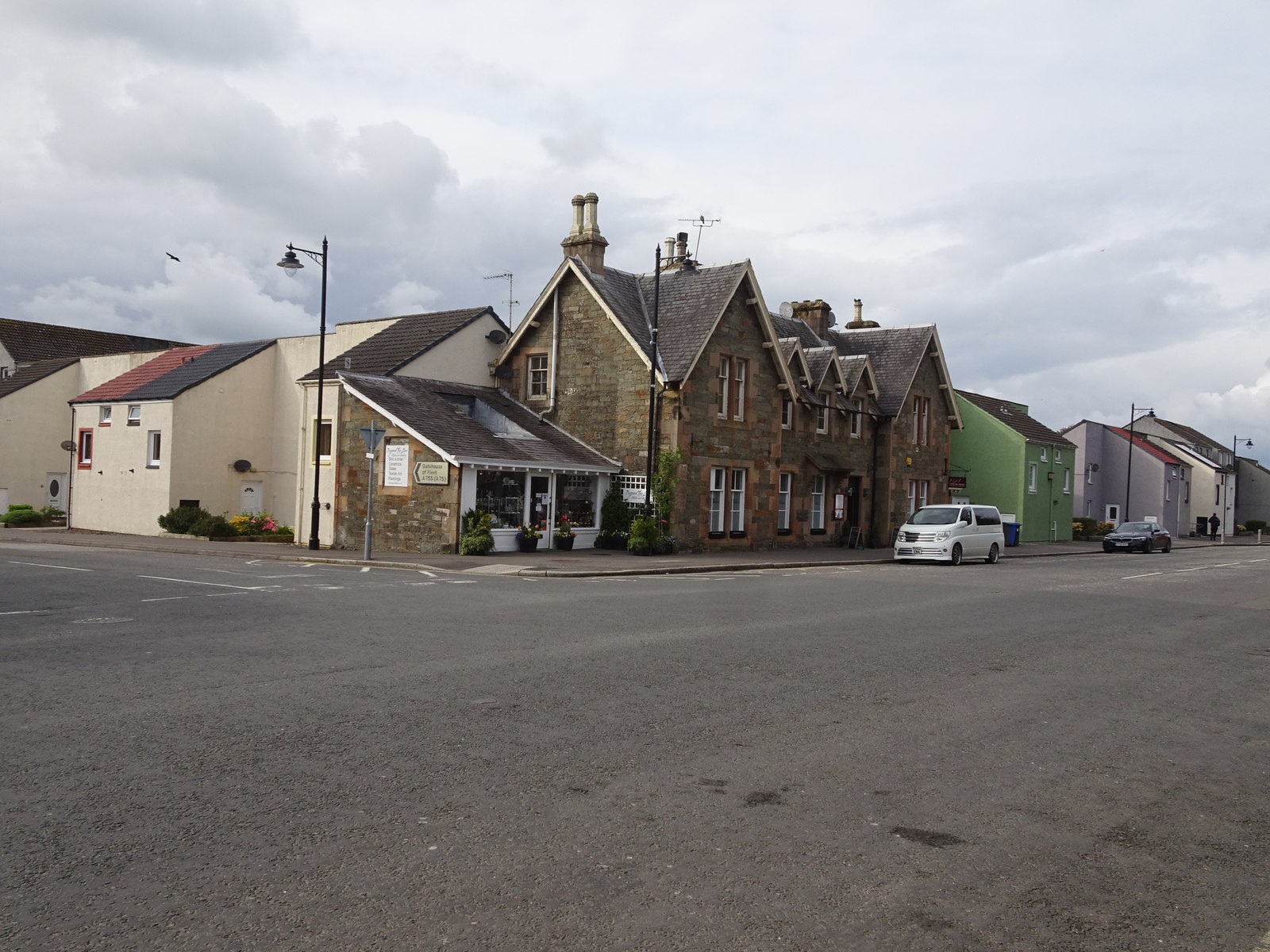
Kirkcudbright is a small town located in the historic county of Kirkcudbrightshire, in the southwest of Scotland. Situated on the banks of the River Dee, it is known for its picturesque setting, charming architecture, and artistic heritage.

The town has a population of around 3,500 people and is a popular tourist destination due to its rich cultural and historical significance. It boasts a well-preserved medieval street plan, with narrow winding streets and attractive buildings that date back to the 17th and 18th centuries. The town is often referred to as the "Artist Town" due to its strong connection with the arts, attracting numerous painters, sculptors, and craftspeople over the years.

Kirkcudbright is home to several art galleries and studios, including the popular Tolbooth Art Centre, which showcases the works of local and international artists. The town also hosts an annual summer arts festival, attracting visitors from far and wide.

Aside from its artistic appeal, Kirkcudbright offers visitors a range of other attractions. The MacLellan's Castle, a 16th-century tower house, is a prominent historical site, while the nearby St. Cuthbert's Church, built in the 19th century, is an architectural gem.

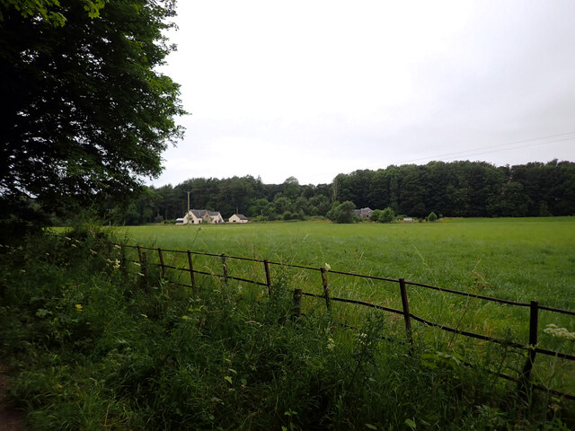
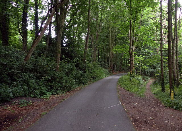
Nature lovers can enjoy the beautiful surrounding countryside, including the nearby Galloway Forest Park, which is renowned for its stunning landscapes, wildlife, and outdoor recreational activities such as hiking and cycling.

Overall, Kirkcudbright is a charming and culturally vibrant town, offering a delightful blend of history, art, and natural beauty to its residents and visitors alike.

If you have any feedback on the listing, please let us know in the comments section below.

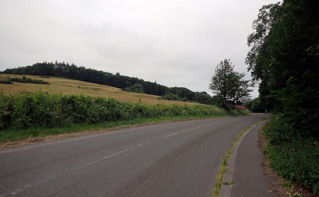
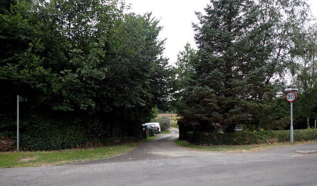
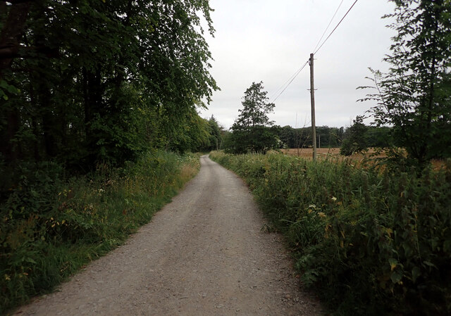
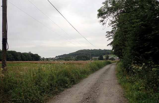
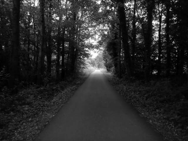
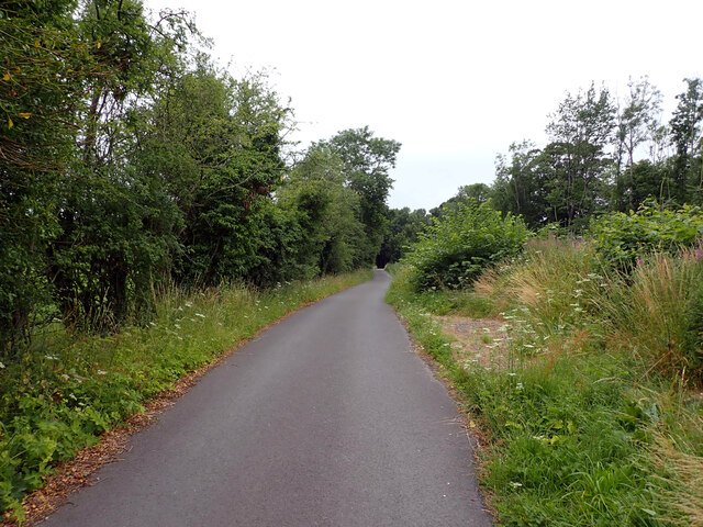
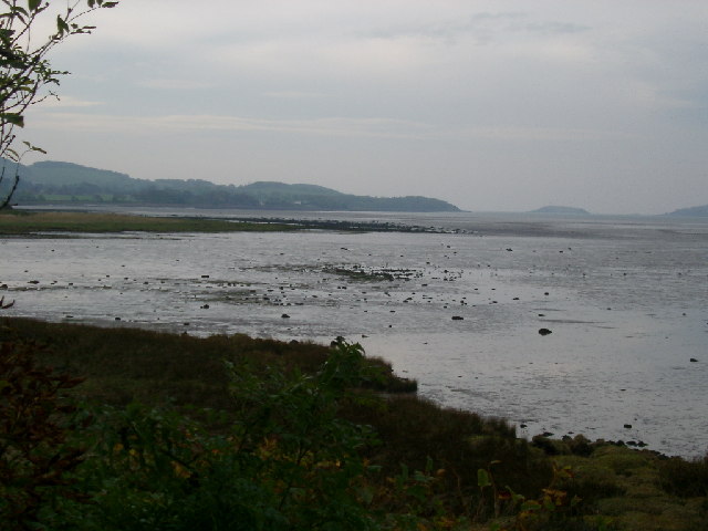
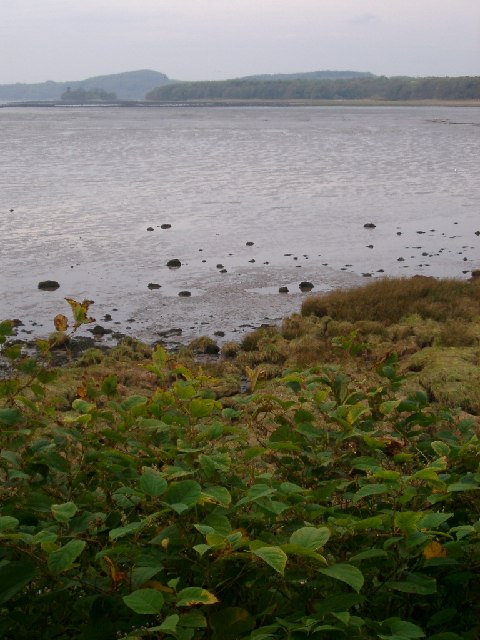
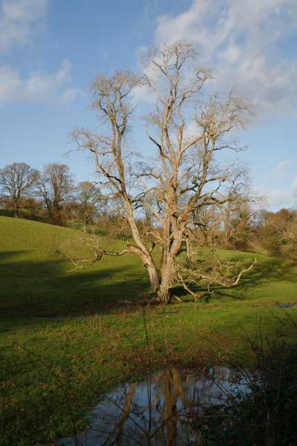
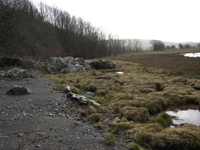
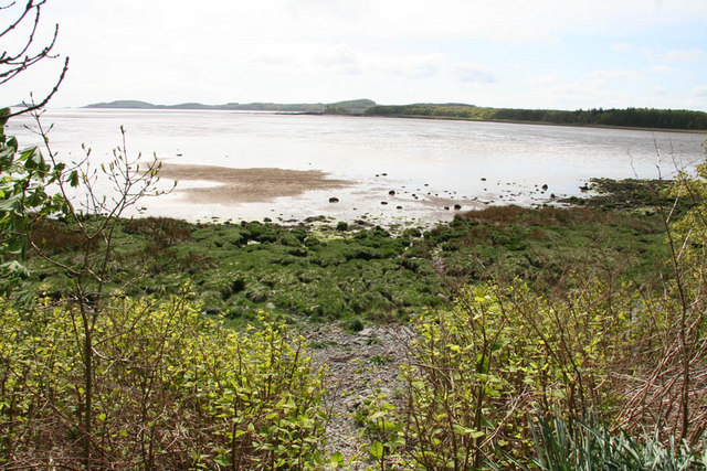
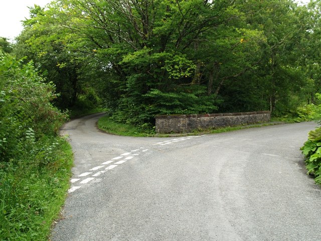
Kirkcudbright Images

Images are sourced within 2km of 54.837876/-4.047903 or Grid Reference NX6851. Thanks to Geograph Open Source API. All images are credited.

The A711 leaving Kirkcudbright
A track to St. Mary's Isle leaving the A711, Kirkcudbright
Track, St. Mary's Isle, Kirkcudbright St Mary's Isle in a peninsula in the estuary of the River Dee to the south of Kirkcudbright. It lies between Manxman's Lake and Goat Well Bay. At low tide it is about 1.75km long and 550m wide at its widest. The tidal island of Inch lies to its south off Point of the Isle. There was an Augustinian Priory on the Isle between the 12th and 16th centuries; all traces of it were removed when the Earls of Selkirk landscaped the Isle in the 17th and 18th centuries.
Track, St. Mary's Isle, Kirkcudbright
St Mary's Isle in a peninsula in the estuary of the River Dee to the south of Kirkcudbright. It lies between Manxman's Lake and Goat Well Bay. At low tide it is about 1.75km long and 550m wide at its widest. The tidal island of Inch lies to its south off Point of the Isle. There was an Augustinian Priory on the Isle between the 12th and 16th centuries; all traces of it were removed when the Earls of Selkirk landscaped the Isle in the 17th and 18th centuries.
Cow Green, St. Mary's Isle, Kirkcudbright St Mary's Isle in a peninsula in the estuary of the River Dee to the south of Kirkcudbright. It lies between Manxman's Lake and Goat Well Bay. At low tide it is about 1.75km long and 550m wide at its widest. The tidal island of Inch lies to its south off Point of the Isle. There was an Augustinian Priory on the Isle between the 12th and 16th centuries; all traces of it were removed when the Earls of Selkirk landscaped the Isle in the 17th and 18th centuries.
Cow Green, St. Mary's Isle, Kirkcudbright
St Mary's Isle in a peninsula in the estuary of the River Dee to the south of Kirkcudbright. It lies between Manxman's Lake and Goat Well Bay. At low tide it is about 1.75km long and 550m wide at its widest. The tidal island of Inch lies to its south off Point of the Isle. There was an Augustinian Priory on the Isle between the 12th and 16th centuries; all traces of it were removed when the Earls of Selkirk landscaped the Isle in the 17th and 18th centuries.
The Dee estuary seen from St. Mary's Isle, Kirkcudbright The River Dee, in south-west Scotland, flows from Loch Dee in the Galloway Hills. It passes through Clatteringshaws Loch and Loch Ken towards to Kirkcudbright, where there is a harbour on its banks. It ends at Kirkcudbright Bay where it flows into the Solway Firth. It is approximately 61km long.
The Dee estuary seen from St. Mary's Isle, Kirkcudbright
The River Dee, in south-west Scotland, flows from Loch Dee in the Galloway Hills. It passes through Clatteringshaws Loch and Loch Ken towards to Kirkcudbright, where there is a harbour on its banks. It ends at Kirkcudbright Bay where it flows into the Solway Firth. It is approximately 61km long.
Track, St. Mary's Isle, Kirkcudbright St Mary's Isle in a peninsula in the estuary of the River Dee to the south of Kirkcudbright. It lies between Manxman's Lake and Goat Well Bay. At low tide it is about 1.75km long and 550m wide at its widest. The tidal island of Inch lies to its south off Point of the Isle. There was an Augustinian Priory on the Isle between the 12th and 16th centuries; all traces of it were removed when the Earls of Selkirk landscaped the Isle in the 17th and 18th centuries.
Track, St. Mary's Isle, Kirkcudbright
St Mary's Isle in a peninsula in the estuary of the River Dee to the south of Kirkcudbright. It lies between Manxman's Lake and Goat Well Bay. At low tide it is about 1.75km long and 550m wide at its widest. The tidal island of Inch lies to its south off Point of the Isle. There was an Augustinian Priory on the Isle between the 12th and 16th centuries; all traces of it were removed when the Earls of Selkirk landscaped the Isle in the 17th and 18th centuries.
Track, St. Mary's Isle, Kirkcudbright
Track, St. Mary's Isle, Kirkcudbright St Mary's Isle in a peninsula in the estuary of the River Dee to the south of Kirkcudbright. It lies between Manxman's Lake and Goat Well Bay. At low tide it is about 1.75km long and 550m wide at its widest. The tidal island of Inch lies to its south off Point of the Isle. There was an Augustinian Priory on the Isle between the 12th and 16th centuries; all traces of it were removed when the Earls of Selkirk landscaped the Isle in the 17th and 18th centuries.
Track, St. Mary's Isle, Kirkcudbright
St Mary's Isle in a peninsula in the estuary of the River Dee to the south of Kirkcudbright. It lies between Manxman's Lake and Goat Well Bay. At low tide it is about 1.75km long and 550m wide at its widest. The tidal island of Inch lies to its south off Point of the Isle. There was an Augustinian Priory on the Isle between the 12th and 16th centuries; all traces of it were removed when the Earls of Selkirk landscaped the Isle in the 17th and 18th centuries.
Manxman's Lake near Kirkcudbright on the East side of Kirkcudbright Bay looking Southish
Manxman's Lake
near Kirkcudbright on the East side of Kirkcudbright Bay looking Southish
shore on Black Moray Plantation, Kirkcudbright looking across Manxman's Bay (tide fairly well out) to St Mary's Isle
shore on Black Moray Plantation, Kirkcudbright
looking across Manxman's Bay (tide fairly well out) to St Mary's Isle
Dead Tree, Buckland Burn
Foreshore The foreshore near Kirkcudbright.
Foreshore
The foreshore near Kirkcudbright.
Sunshine on Mudflats Afternoon sunshine on Manxman's Lake, near Kirkcudbright.
Sunshine on Mudflats
Afternoon sunshine on Manxman's Lake, near Kirkcudbright.
Manxman's Lake Looking across to St. Mary's Isle.
Manxman's Lake
Looking across to St. Mary's Isle.
Kirkcudbright, the River Dee and St Mary's Isle As seen en route for France from Prestwick.
Kirkcudbright, the River Dee and St Mary's Isle
As seen en route for France from Prestwick.
Sypland Road at Buckland Bridge Sypland Road is the road on the left, the main road goes over the bridge.
Sypland Road at Buckland Bridge
Sypland Road is the road on the left, the main road goes over the bridge.
Show me another place!

Kirkcudbright is located at Grid Ref: NX6851 (Lat: 54.837876, Lng: -4.047903)

Unitary Authority: Dumfries and Galloway

Police Authority: Dumfries and Galloway

What 3 Words

///adhesive.trying.expressed. Near Kirkcudbright, Dumfries & Galloway

Related Wikis

Kirkcudbright railway station

Kirkcudbright railway station served the town of Kirkcudbright, Dumfries and Galloway, Scotland from 1864 to 1965 on the Kirkcudbright Railway. == History... ==

Kirkcudbright Railway

The Kirkcudbright Railway was a railway branch line linking Kirkcudbright to the Castle Douglas and Dumfries Railway at Castle Douglas. It opened in 1864...

Kirkcudbright Town Hall

Kirkcudbright Town Hall, currently operating as Kirkcudbright Galleries, is a municipal building in St Mary's Street, Kirkcudbright, Scotland. The building...

Kirkcudbright war memorial

Kirkcudbright war memorial commemorates the men of the Scottish town of Kirkcudbright killed during the First and Second World Wars. It is situated in...

Nearby Amenities

Located within 500m of 54.837876,-4.047903
Source: PGS
Lat/Long: 54.8394633/-4.0547722
Source: PGS
Lat/Long: 54.8393686/-4.0532427
Source: PGS
Lat/Long: 54.8390357/-4.0528328
Source: PGS
Lat/Long: 54.8389069/-4.0523184
Source: PGS
Lat/Long: 54.8389792/-4.0520818
Source: PGS
Lat/Long: 54.8391351/-4.0517899
Source: PGS
Lat/Long: 54.8390914/-4.0513479
Source: PGS
Lat/Long: 54.8392672/-4.0511989
Source: PGS
Lat/Long: 54.8398981/-4.0506487
Source: PGS
Lat/Long: 54.8405898/-4.0501586
Source: PGS
Lat/Long: 54.8409606/-4.0500693
Source: PGS
Lat/Long: 54.8412899/-4.0499172
Source: PGS
Lat/Long: 54.8421076/-4.0493562
Source: PGS
Lat/Long: 54.8417906/-4.0467741
Source: PGS
Lat/Long: 54.8409323/-4.0472273
Source: PGS
Lat/Long: 54.8399327/-4.0478674
Source: PGS
Lat/Long: 54.8396203/-4.0481648
Source: PGS
Lat/Long: 54.8392171/-4.0484874
Source: PGS
Lat/Long: 54.8388943/-4.0488929
Source: PGS
Lat/Long: 54.8385491/-4.0493684
Source: PGS
Lat/Long: 54.8382801/-4.0500034
Source: PGS
Lat/Long: 54.8382413/-4.0502337
Created By: almien_coastlines
Source: PGS
Lat/Long: 54.8378345/-4.0514871
Source: PGS
Lat/Long: 54.837639/-4.0523733
Source: PGS
Lat/Long: 54.8376084/-4.0527998
Source: PGS
Lat/Long: 54.8376057/-4.0534884
Source: PGS
Lat/Long: 54.8374857/-4.0539001
Source: PGS
Lat/Long: 54.8374537/-4.0549416
Source: PGS
Lat/Long: 54.8373745/-4.0552574
Source: PGS
Lat/Long: 54.8373677/-4.0556292
Barrier: yes
Lat/Long: 54.8376352/-4.0511744
Kirkcudbright Visitor Centre
Addr City: Kirkcudbright
Addr Housename: The Johnston
Addr Postcode: DG6 4EY
Addr Street: St Mary Street
Information: office
Operator: Kirkcudbright Development Trust
Tourism: information
Lat/Long: 54.8374979/-4.0511853
Toilets
Lat/Long: 54.8375624/-4.0513212
Fuel
Lat/Long: 54.8376964/-4.0503407
Pub
Steam Packet
Lat/Long: 54.8371784/-4.05031
Bicycle Parking
Capacity: 6
Lat/Long: 54.8374341/-4.0511677
Co-Operative
Shop: supermarket
Lat/Long: 54.8376651/-4.0508932
Bus Stop
Harbour Square
Naptan AtcoCode: 680000051501
Naptan Bearing: NE
Naptan CommonName: Harbour Square
Naptan Indicator: Shelter
Naptan Landmark: Beaconsfield Place
Naptan NaptanCode: 34236458
Naptan Notes: none
Naptan Street: Harbour Square
Naptan Verified: no
Source: naptan_import
Lat/Long: 54.8378734/-4.0504602
Bus Stop
Castle Street
Naptan AtcoCode: 680000370111
Naptan Bearing: NE
Naptan BusStopType: CUS
Naptan CommonName: Castle Street
Naptan Indicator: no 16
Naptan Landmark: Union Street
Naptan NaptanCode: 34236457
Naptan Notes: none
Naptan Street: Castle Street
Naptan Verified: no
Source: naptan_import
Lat/Long: 54.8363577/-4.0529218
Bus Stop
Bridge Street
Naptan AtcoCode: 680000373501
Naptan Bearing: NW
Naptan CommonName: Bridge Street
Naptan Indicator: opp creamery
Naptan Landmark: Creamery
Naptan NaptanCode: 34236532
Naptan Notes: none
Naptan Street: Bridge Street
Naptan Verified: no
Source: naptan_import
Lat/Long: 54.8406538/-4.053627
Bus Stop
Victoria Park
Naptan AtcoCode: 680000462111
Naptan Bearing: NE
Naptan CommonName: Victoria Park
Naptan Indicator: no 13
Naptan Landmark: Millflats
Naptan NaptanCode: 34236463
Naptan Notes: none
Naptan Street: Victoria Park
Naptan Verified: no
Source: naptan_import
Lat/Long: 54.8415359/-4.0438242
Bus Stop
Victoria Park
Naptan AtcoCode: 680000462222
Naptan Bearing: SE
Naptan CommonName: Victoria Park
Naptan Indicator: no 2
Naptan Landmark: Millflats
Naptan NaptanCode: 34236464
Naptan Notes: none
Naptan Street: Victoria Park
Naptan Verified: no
Source: naptan_import
Lat/Long: 54.8415852/-4.043562
Bus Stop
Woodlands Avenue
Naptan AtcoCode: 680000710503
Naptan Bearing: SW
Naptan BusStopType: CUS
Naptan CommonName: Woodlands Avenue
Naptan Indicator: Mid
Naptan Landmark: Rossway Road
Naptan NaptanCode: 34236769
Naptan Notes: none
Naptan Street: Woodlands Avenue
Naptan Verified: no
Source: naptan_import
Lat/Long: 54.8335486/-4.0481372
Bus Stop
Johnston Place
Naptan AtcoCode: 680000986111
Naptan Bearing: NE
Naptan BusStopType: CUS
Naptan CommonName: Johnston Place
Naptan Indicator: no 13
Naptan Landmark: Johnston Place
Naptan NaptanCode: 34236459
Naptan Notes: none
Naptan Street: St Mary Street
Naptan Verified: no
Source: naptan_import
Lat/Long: 54.8386954/-4.047029
Bus Stop
Johnston Place
Naptan AtcoCode: 680000986222
Naptan Bearing: SW
Naptan BusStopType: CUS
Naptan CommonName: Johnston Place
Naptan Indicator: School
Naptan Landmark: Johnston Primary
Naptan NaptanCode: 34236462
Naptan Notes: none
Naptan Street: St Mary Street
Naptan Verified: no
Source: naptan_import
Lat/Long: 54.8380861/-4.0474498
Bus Stop
Kirkcudbright Galleries
Bus: yes
Naptan AtcoCode: 680000991222
Naptan Bearing: S
Naptan CommonName: Town Hall
Naptan Indicator: o/s hall
Naptan Landmark: St Marys Place
Naptan NaptanCode: 34236528
Naptan Notes: none
Naptan Street: St Mary Street
Naptan Verified: no
Public Transport: platform
Source: naptan_import
Lat/Long: 54.8364792/-4.0494552
Bus Stop
Merse Rd
Naptan AtcoCode: 680001050111
Naptan Bearing: NE
Naptan BusStopType: CUS
Naptan CommonName: Merse Rd
Naptan Indicator: Merse Cl
Naptan Landmark: Merse Close
Naptan NaptanCode: 34236768
Naptan Notes: none
Naptan Street: Merse Road
Naptan Verified: no
Source: naptan_import
Lat/Long: 54.8411201/-4.0519487
Bus Stop
Health Centre
Naptan AtcoCode: 680003001501
Naptan Bearing: SW
Naptan BusStopType: CUS
Naptan CommonName: Health Centre
Naptan Indicator: at Centre
Naptan NaptanCode: 34238683
Naptan Street: Barrhill Road
Naptan Verified: no
Source: naptan_import
Lat/Long: 54.8344453/-4.0506757
Leisure: playground
Lat/Long: 54.836183/-4.044983
Kirkcudbright
Abandoned Railway: station
Operator: Glasgow and South Western Railway
Railway: site
Lat/Long: 54.8384059/-4.04774
Post Box
Ref: DG6 55
Lat/Long: 54.8344277/-4.0508328
Post Box
Post Box Type: wall
Ref: DG6 1
Lat/Long: 54.8373514/-4.0504075
Fast Food
Polarbites
Cuisine: fish_and_chips
Lat/Long: 54.8375285/-4.0504256
Post Box
Ref: DG6 50
Source: Flickr
Lat/Long: 54.8351141/-4.0537251
Post Box
Post Box Type: pillar
Ref: DG6 49
Royal Cypher: GR
Royal Cypher Wikidata: Q33102273
Lat/Long: 54.840943/-4.0441726
Seamark Light Character: Fl
Seamark Light Colour: green
Seamark Light Period: 4
Seamark Type: light_minor
Lat/Long: 54.8378334/-4.0548134
Seamark Landmark Function: church
Seamark Type: landmark
Lat/Long: 54.8379178/-4.0474572
Seamark Landmark Category: mast
Seamark Type: landmark
Lat/Long: 54.8395506/-4.0468206
Seamark Landmark Category: chimney
Seamark Type: landmark
Lat/Long: 54.8398278/-4.0514743
Power: pole
Lat/Long: 54.840374/-4.0538526
Telephone
Booth: K6
Covered: booth
Lat/Long: 54.8408033/-4.0434883
White House Gallery
Tourism: artwork
Lat/Long: 54.8373997/-4.0482112
Harbour Cottage Gallery
Tourism: artwork
Lat/Long: 54.8374318/-4.0528196
Ncn Milepost: rowe
Sustrans Ref: MP366
Lat/Long: 54.8384/-4.0491494
Post Office
Kirkcudbright Post Office
Addr City: Kirkcudbright
Addr Country: GB
Addr Housenumber: 23
Addr Postcode: DG6 4DJ
Addr Street: St Cuthbert Street
Branch: Kirkcudbright
Brand: Post Office
Brand Wikidata: Q1783168
Check Date: 2022‑05‑27
Check Date Opening Hours: 2022‑05‑27
Contact Website: https://www.postoffice.co.uk/branch-finder/2238187/kirkcudbright
Opening Hours: Mo-Fr 09:00-16:00; Sa 09:00-12:30
Operator: Thomsons
Ref Pol Id: 125959
Lat/Long: 54.8370377/-4.04957
Barrier: yes
Lat/Long: 54.8379377/-4.0503292
Barrier: lift_gate
Lift Gate Type: single
Lat/Long: 54.834893/-4.0474012
Leisure: playground
Lat/Long: 54.8408465/-4.0428651
Street Lamp
Lat/Long: 54.8370417/-4.0506294
Power: substation
Lat/Long: 54.8407501/-4.0432742
Dark Art Distillery
Addr Postcode: DG6 4EG
Addr Street: St Mary Street
Email: info@darkartdistillery.com
Shop: alcohol
Website: https://www.darkartdistillery.com/
Lat/Long: 54.8383331/-4.0467772
Restaurant
Auld Alliance Restaurant
Addr Housenumber: 9
Addr Postcode: DG6 4DX
Addr Street: St Cuthbert Street
Cuisine: local
Phone: +44 1557 330888
Website: https://www.auldalliancekirkcudbright.co.uk/
Lat/Long: 54.8369569/-4.048623
Pub
The Masonic Arms
Addr Housenumber: 19
Addr Postcode: DG6 4JA
Addr Street: Castle Street
Cuisine: local;regional
Phone: +44 1557 330517
Website: http://masonic-arms.co.uk
Lat/Long: 54.8362298/-4.052777
Cafe
Feast
Lat/Long: 54.8368131/-4.0509041
Charging Station
Lat/Long: 54.8353755/-4.0525204
Charging Station
Lat/Long: 54.8373072/-4.0507913
Defibrillator
Defibrillator Location: External wall. Harbourmaster's building
Emergency: defibrillator
Indoor: no
Lat/Long: 54.8375659/-4.0516498
The data included in this document is from www.openstreetmap.org. The data is made available under ODbL.

Have you been to Kirkcudbright?

Leave your review of Kirkcudbright below (or comments, questions and feedback).