Bolebroke Castle

Heritage Site in Sussex Wealden

England

Bolebroke Castle

Sawpit Wood From Forest Way
Sawpit Wood Credit: Simon Carey

Bolebroke Castle, located in Sussex, England, is a historic heritage site that holds immense architectural and historical significance. Also known as Hever Castle, this fortified manor house was originally constructed in the 13th century. The castle's name is derived from "bole," meaning bull, and "broke," meaning brook, alluding to its location near a stream.

The castle's architecture showcases a stunning blend of medieval and Tudor styles. It features a moat, gatehouse, and a central courtyard surrounded by a range of buildings, including a chapel, great hall, and residential quarters. The exterior of the castle exhibits intricate brickwork, mullioned windows, and steep gabled roofs, while the interior boasts beautifully carved wooden paneling, ornate ceilings, and grand fireplaces.

Bolebroke Castle is famous for its association with the Boleyn family, particularly Anne Boleyn, the second wife of King Henry VIII. Anne Boleyn spent her early years at Hever Castle, and it was here that she received her education. The castle remained in the Boleyn family until the late 16th century when it passed on to the Waldegrave family through marriage.

Today, Bolebroke Castle has been meticulously restored and preserved, allowing visitors to experience the rich history and grandeur of the past. The castle grounds encompass beautiful gardens, including a rose garden, a Tudor herb garden, and a yew maze. Additionally, the castle houses a museum, displaying an impressive collection of Tudor artifacts and artworks.

Bolebroke Castle stands as a captivating testament to the medieval and Tudor periods, providing visitors with a glimpse into the lives of the Boleyn family and the architectural splendor of the era.

If you have any feedback on the listing, please let us know in the comments section below.

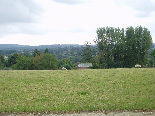
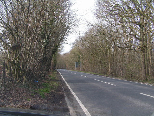
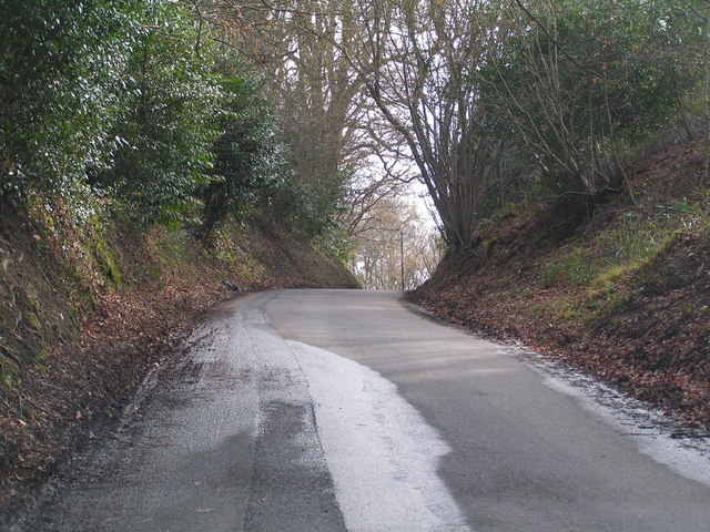
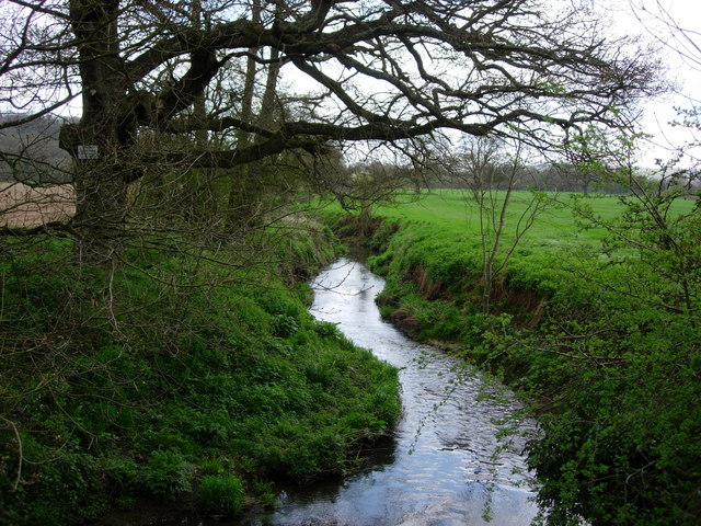
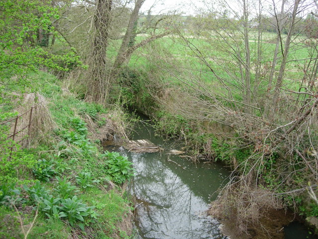
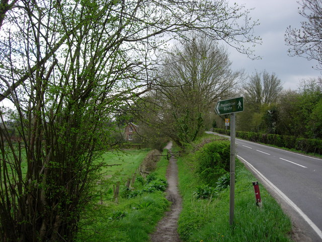
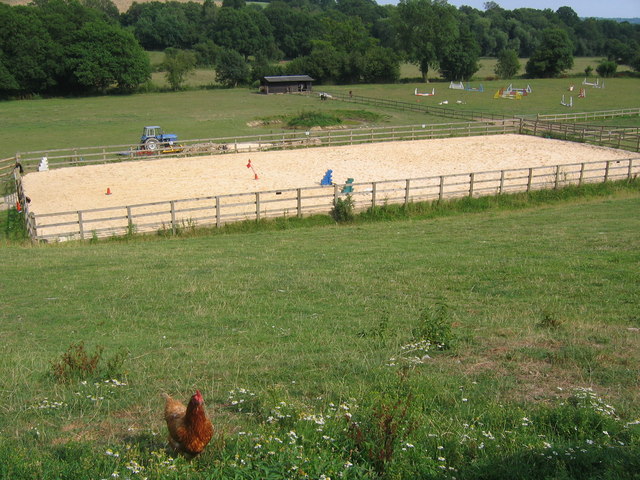
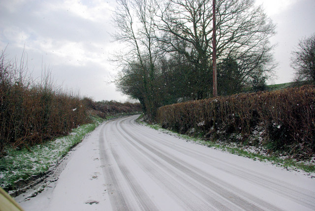
Bolebroke Castle Images

Images are sourced within 2km of 51.117/0.107 or Grid Reference TQ4737. Thanks to Geograph Open Source API. All images are credited.

Sawpit Wood From Forest Way
Sawpit Wood
From Forest Way
Former Hartfield Station Now a nursery just off the Edenbridge Road.
Former Hartfield Station
Now a nursery just off the Edenbridge Road.
Hartfield village View of the Church from over the green.
Hartfield village
View of the Church from over the green.
Motte and Bailey earthwork, Castlefields, Hartfield Looking north
Motte and Bailey earthwork, Castlefields, Hartfield
Looking north
Castlefields, Hartfield The B2110 heads east out of the village
Castlefields, Hartfield
The B2110 heads east out of the village
Roman road near Holtye Near Holtye a section of the Roman road from London to Lewes was excavated and bought for preservation by the Sussex Archaeological Society.
Roman road near Holtye
Near Holtye a section of the Roman road from London to Lewes was excavated and bought for preservation by the Sussex Archaeological Society.
Bassett's Manor Looking northwards from the road/path towards Bassett's Manor farm buildings. Cattle in the far field.
Bassett's Manor
Looking northwards from the road/path towards Bassett's Manor farm buildings. Cattle in the far field.
Bassett's Manor fields Looking south west over the farm buildings towards the distant sunshine
Bassett's Manor fields
Looking south west over the farm buildings towards the distant sunshine
Bolebrook Castle Reputedly the earliest brick building in Sussex (around 1480) and legend has it that Henry VIII came here to hunt the deer, wild boar and woo Ann Boleyn who lived 5 miles away at Hever.
Bolebrook Castle
Reputedly the earliest brick building in Sussex (around 1480) and legend has it that Henry VIII came here to hunt the deer, wild boar and woo Ann Boleyn who lived 5 miles away at Hever.
Towards Hartfield From Butcherfield Lane looking south towards Hartfield. You can just make out the spire at St Mary the Virgin Parish Church
Towards Hartfield
From Butcherfield Lane looking south towards Hartfield. You can just make out the spire at St Mary the Virgin Parish Church
The Road to Edenbridge (B2026) The B2026 runs 20 miles north - south from Westerham to Maresfield, via Edenbridge. It crosses Ashdown Forest.
<span class="nowrap"><a title="http://www.sabre-roads.org.uk/wiki/index.php?title=B2026" rel="nofollow ugc noopener" href="http://www.sabre-roads.org.uk/wiki/index.php?title=B2026">Link</a><img style="margin-left:2px;" alt="External link" title="External link - shift click to open in new window" src="https://s1.geograph.org.uk/img/external.png" width="10" height="10"/></span>
The Road to Edenbridge (B2026)
The B2026 runs 20 miles north - south from Westerham to Maresfield, via Edenbridge. It crosses Ashdown Forest. LinkExternal link
Kentish Byway
Kentish Byway
River Medway - Hartfield This is the River Medway looking east from a bridge in Hartfield

This is the River Medway looking east from a road bridge in Hartfield.
River Medway - Hartfield
This is the River Medway looking east from a bridge in Hartfield This is the River Medway looking east from a road bridge in Hartfield.
The River Medway - Hartfield A tiny River Medway looking west from a road bridge in Hartfield.
The River Medway - Hartfield
A tiny River Medway looking west from a road bridge in Hartfield.
Footpath  -Hartfield A footpath leading to the old station in Hartfield, now a nursery school
Footpath -Hartfield
A footpath leading to the old station in Hartfield, now a nursery school
Sand school and horse paddocks
Butcherfield Lane in the snow The snow was increasing.
Butcherfield Lane in the snow
The snow was increasing.
B2026 by Tye Farm Cottages A snowy morning, but a well salted road.
B2026 by Tye Farm Cottages
A snowy morning, but a well salted road.
Show me another place!

Bolebroke Castle is located at Grid Ref: TQ4737 (Lat: 51.117, Lng: 0.107)

Administrative County: East Sussex

District: Wealden

Police Authority: Sussex

What 3 Words

///haggling.phantom.rests. Near Groombridge, East Sussex

Related Wikis

Bolebroke Castle Miniature Railway

The Bolebroke Castle Miniature Railway or Bolebroke Castle and Lakes Railway (often abbreviated to BC&LR) was a 7+1⁄4 inches (180 mm) railway that ran...

Bolebroke Castle

Bolebroke Castle is a 15th-century hunting lodge located north of the village of Hartfield, East Sussex, England. It is a Grade II* listed building.The...

Mills Rocks

Mills Rocks is a 1.9-hectare (4.7-acre) biological Site of Special Scientific Interest south-east of East Grinstead in West Sussex.This site has rock outcrops...

Bassetts Manor

Bassetts Manor is a Grade II-listed building in Hartfield, East Sussex, England. == Location == The manor is located North of the village of Hartfield...

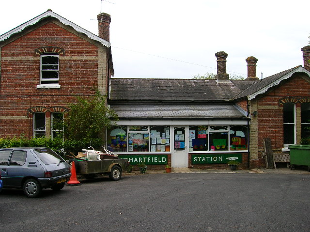
Hartfield railway station

Hartfield was a railway station serving Hartfield, England, on the Three Bridges to Tunbridge Wells Central Line which closed in 1967, a casualty of the...
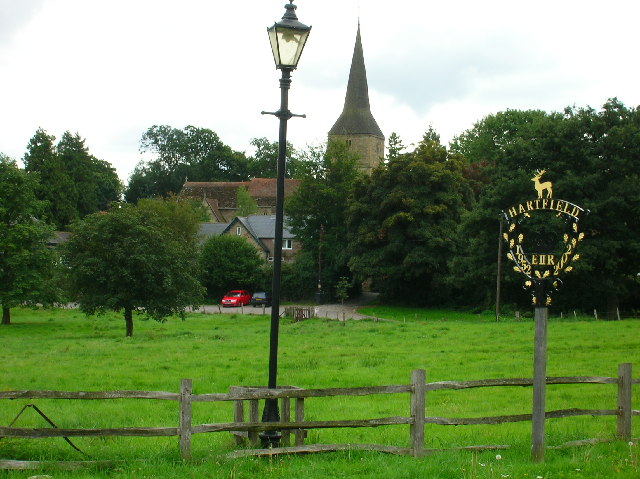
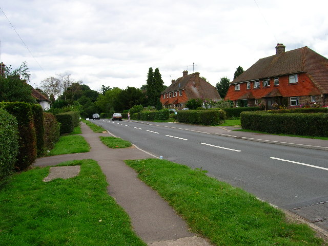
Hartfield

Hartfield is a village and civil parish in the Wealden district of East Sussex, England. The parish also includes the settlements of Colemans Hatch, Hammerwood...

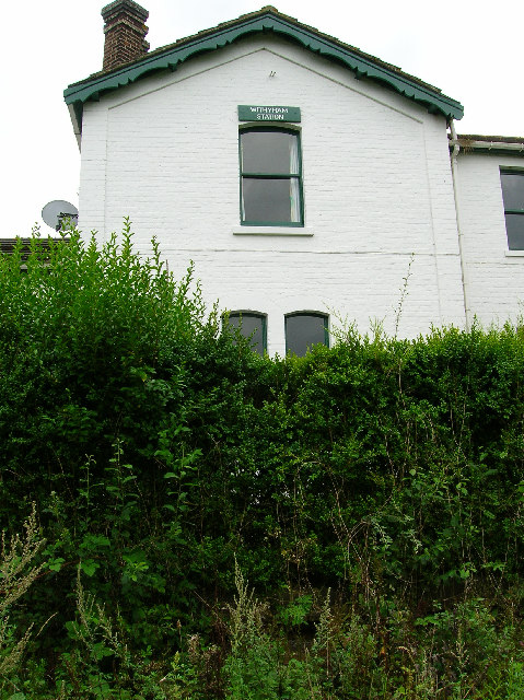
Withyham railway station

Withyham was a railway station on the Three Bridges to Tunbridge Wells Central Line which closed in 1967, a casualty of the Beeching Axe. The station opened...

Withyham

Withyham is a village and large civil parish in the Wealden district of East Sussex, England. The village is situated 7 miles south west of Royal Tunbridge...

Nearby Amenities

Located within 500m of 51.117,0.107
Post Box
Operator: Royal Mail
Post Box Type: lamp
Ref: TN7 109
Royal Cypher: EIIR
Royal Cypher Wikidata: Q33102113
Lat/Long: 51.1179523/0.112901
Cafe
Perryhill Orchards Tea Rooms
Addr City: Hartfield
Addr Postcode: TN7 4JJ
Addr Street: Edenbridge Road
Cuisine: breakfast;cake;coffee_shop;tea
Opening Hours: Mo-Su 09:30-16:30
Phone: +44 1892 770595
Website: http://www.peryhillorchards.co.uk
Lat/Long: 51.1175688/0.1120623
Perryhill Farm Shop & Cider Centre
Addr City: Hartfield
Addr Postcode: TN7 4JJ
Addr Street: Edenbridge Road
Opening Hours: Mo-Su 09:30-17:00
Phone: +44 1892 770595
Shop: greengrocer
Website: https://www.perryhillorchards.co.uk/
Lat/Long: 51.1177385/0.1120551
Perryhill Farm Butchers
Addr City: Hartfield
Addr Postcode: TN7 4JJ
Addr Street: Edenbridge Road
Opening Hours: Mo-Su 09:00-17:00
Phone: +44 1892 770720
Shop: butcher
Website: https://www.perryhillorchards.co.uk/
Lat/Long: 51.1178179/0.1118327
The data included in this document is from www.openstreetmap.org. The data is made available under ODbL.

Have you been to Bolebroke Castle?

Leave your review of Bolebroke Castle below (or comments, questions and feedback).