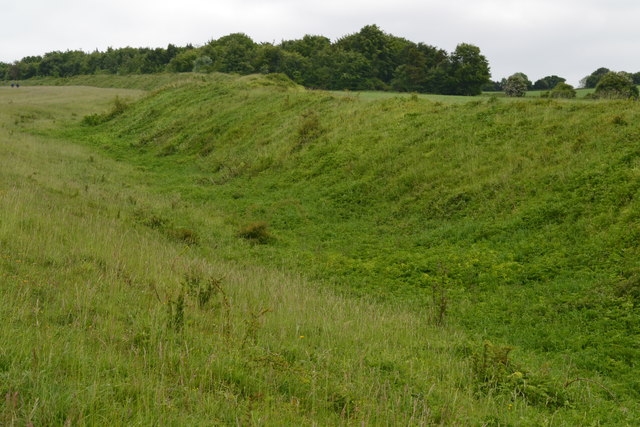
Bokerley Ditch
Heritage Site in Wiltshire
England
Bokerley Ditch
The requested URL returned error: 429 Too Many Requests
If you have any feedback on the listing, please let us know in the comments section below.
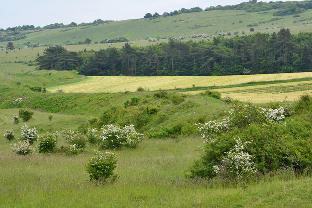
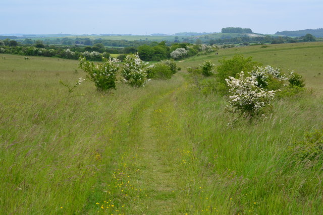
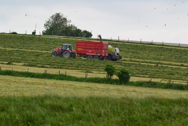
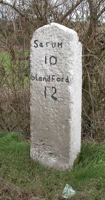
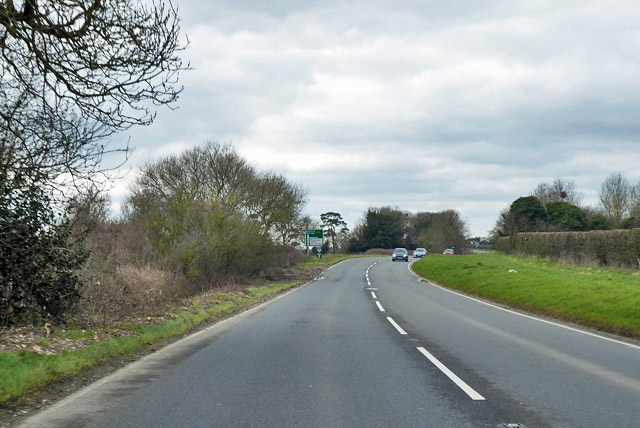
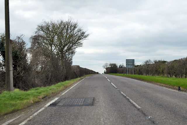
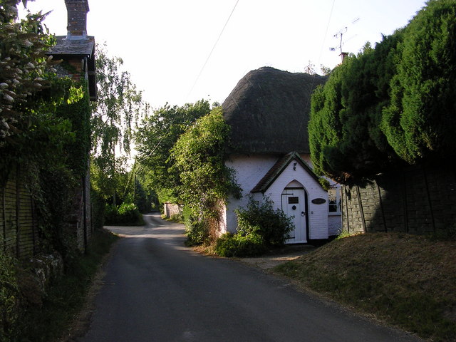
Bokerley Ditch Images
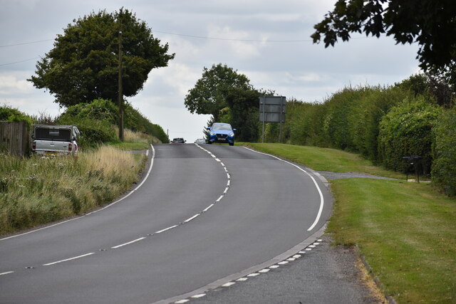
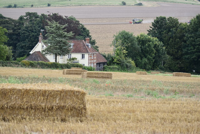
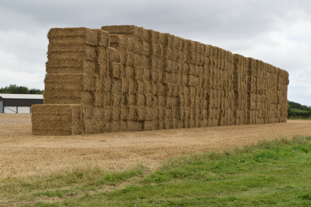
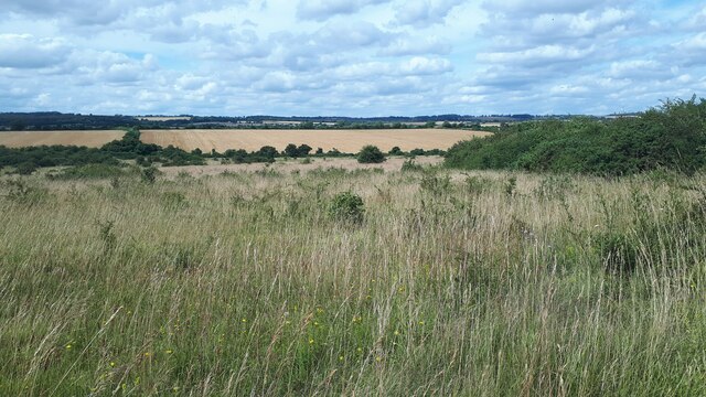
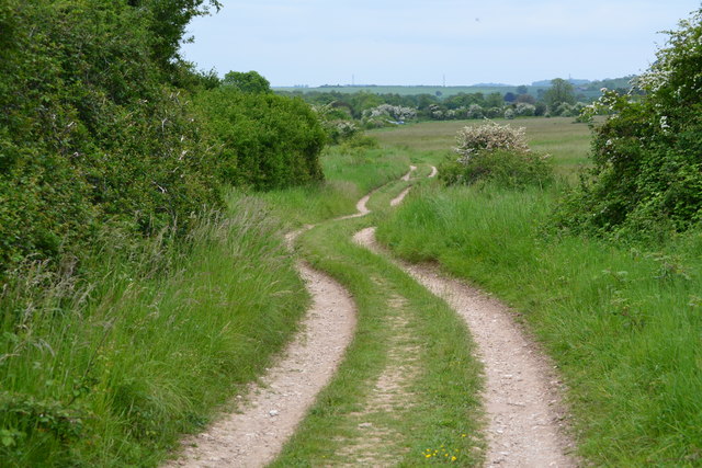
Images are sourced within 2km of 50.975/-1.937 or Grid Reference SU0419. Thanks to Geograph Open Source API. All images are credited.
Bokerley Ditch is located at Grid Ref: SU0419 (Lat: 50.975, Lng: -1.937)
What 3 Words
///control.crisis.everybody. Near Bower Chalke, Wiltshire
Nearby Locations
Related Wikis

Martin and Tidpit Downs
Martin and Tidpit Downs is a 367.5-hectare (908-acre) biological Site of Special Scientific Interest north-west of Fordingbridge in Hampshire. Martin Down...

Bokerley Dyke
Bokerley Dyke, Bokerly Dyke, Bokerley Ditch, is a linear earthwork 5.75 kilometres (3.6 mi) long in Hampshire, between Woodyates and Martin. It is a Scheduled...

Martin Down Enclosure
The Martin Down Enclosure is an archaeological site on Martin Down, near the village of Martin, in Hampshire, England. It is near the boundaries with Dorset...
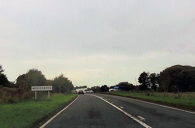
Woodyates
Woodyates is a hamlet, sometimes considered a village, in the county of Dorset, near its border with Wiltshire, in the west of England. == History == The...
Nearby Amenities
Located within 500m of 50.975,-1.937Have you been to Bokerley Ditch?
Leave your review of Bokerley Ditch below (or comments, questions and feedback).