Bolter's Bridge
Heritage Site in Somerset Mendip
England
Bolter's Bridge
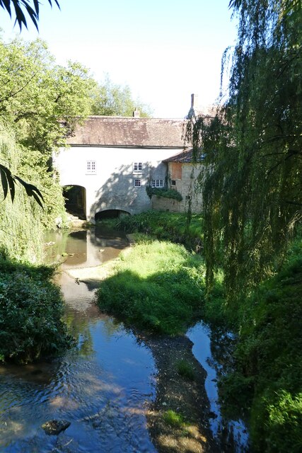
Bolter's Bridge, located in Somerset, England, is a significant heritage site that holds historical and cultural importance. Spanning the River Brue, this stone bridge dates back to the 17th century and has played a vital role in connecting the nearby villages of Baltonsborough and Butleigh.
The construction of Bolter's Bridge is attributed to the renowned architect, Sir Christopher Wren, who is best known for his iconic works in London, including St. Paul's Cathedral. The bridge features a single arch design, which was a popular architectural style during the period. The sturdy stone structure has withstood the test of time, serving as a testament to the craftsmanship of the past.
The heritage site holds great value, not only for its architectural significance but also for its historical context. It is believed that Bolter's Bridge was a crucial crossing point during the English Civil War in the mid-17th century. The bridge played a strategic role in the movement of troops, supplies, and communication between the opposing forces.
Today, Bolter's Bridge continues to be an essential landmark and a picturesque attraction for visitors. Surrounded by scenic countryside, the bridge offers an idyllic setting for walks, photography, and picnics. It is a popular destination for tourists interested in exploring the historical and cultural heritage of Somerset.
Bolter's Bridge stands as a reminder of the region's rich history, providing a glimpse into the past while remaining an integral part of the present community.
If you have any feedback on the listing, please let us know in the comments section below.
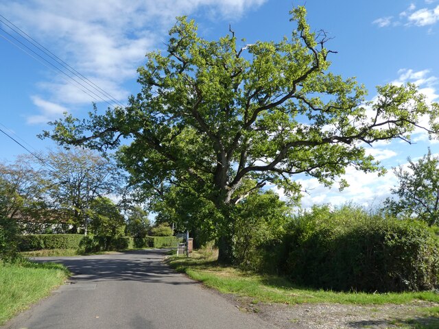
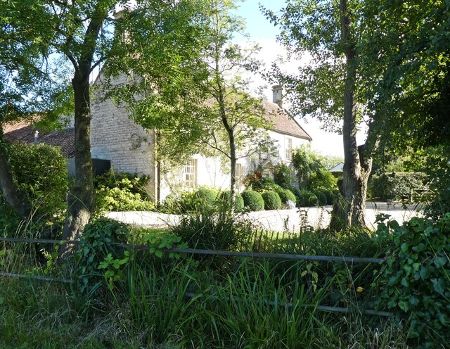
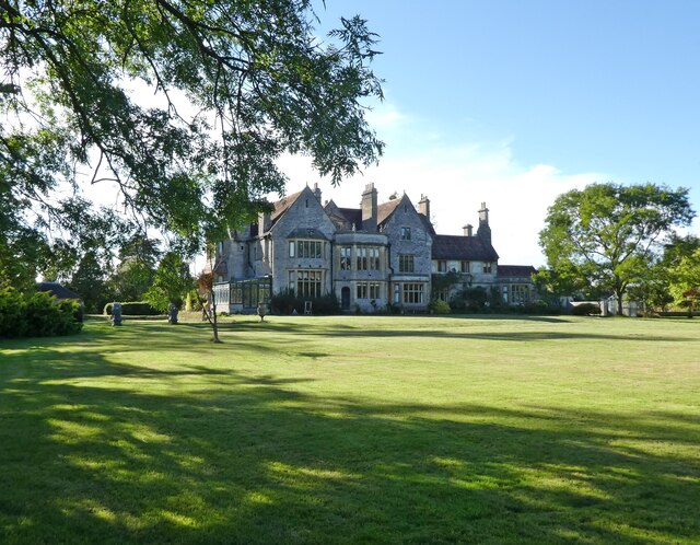
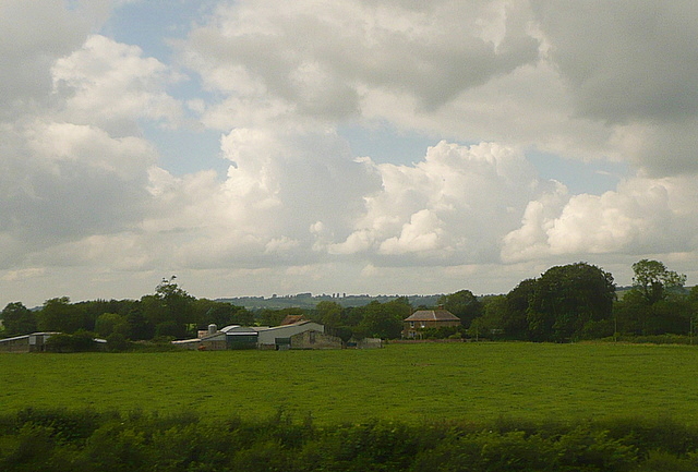
Bolter's Bridge Images
Images are sourced within 2km of 51.098/-2.563 or Grid Reference ST6033. Thanks to Geograph Open Source API. All images are credited.


Bolter's Bridge is located at Grid Ref: ST6033 (Lat: 51.098, Lng: -2.563)
Administrative County: Somerset
District: Mendip
Police Authority: Avon and Somerset
What 3 Words
///sketches.flattered.spruced. Near Castle Cary, Somerset
Nearby Locations
Related Wikis

River Alham
The River Alham flows through Somerset, England. It rises at Higher Alham above Batcombe and runs through Alhampton, Milton Clevedon and joins the River...

Church of All Saints, Alford
The Church of All Saints which is next to the River Brue in Alford, Somerset, England, dates from the 15th century, with minor 19th-century restoration...
Alford, Somerset
Alford is a village and parish on the River Alham, in Somerset, England, situated 8 miles (12.9 km) south of Shepton Mallet and two miles west of Castle...

Alhampton Mission Church
Alhampton Mission Church is a Church of England church in Alhampton, Somerset, England. The tin tabernacle was erected in 1892 and now forms part of the...
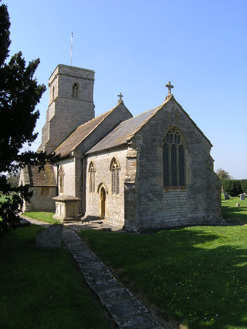
Church of St Thomas of Canterbury, Lovington
The Church of St Thomas of Canterbury in Lovington, Somerset, England, was built in the 13th century. It is a Grade II* listed building. == History... ==
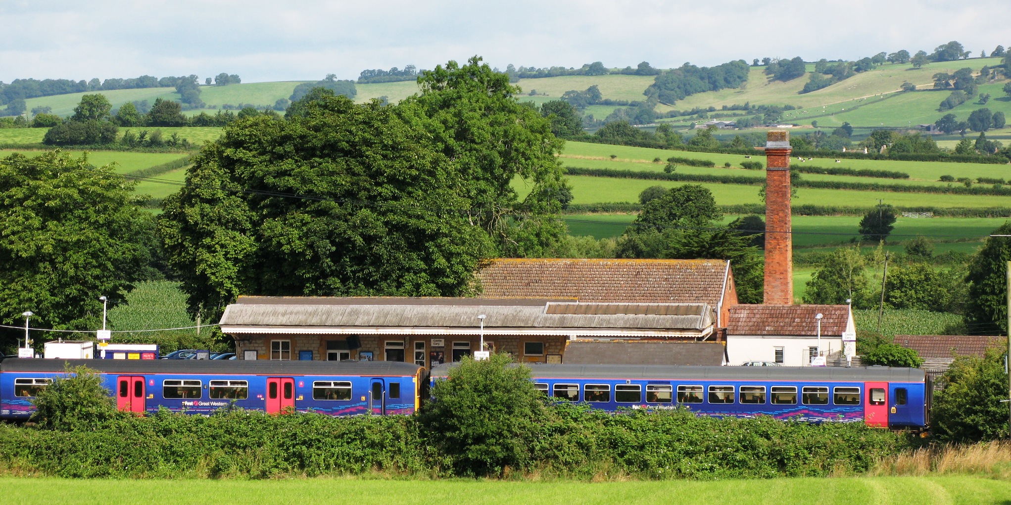
Castle Cary railway station
Castle Cary railway station is on the Reading to Taunton line 115.25 miles (185.48 km) south west of London Paddington and the Bristol to Weymouth line...
Lovington, Somerset
Lovington is a village and civil parish in Somerset, England, situated 3 miles (4.8 km) south west of Castle Cary, between the River Brue and River Cary...

Church of St Andrew, Ansford
The Church of St Andrew in Ansford, Somerset, England, was built in the 15th century. It is a Grade II* listed building. == History == The tower remains...
Nearby Amenities
Located within 500m of 51.098,-2.563Have you been to Bolter's Bridge?
Leave your review of Bolter's Bridge below (or comments, questions and feedback).