Tory Wood
Wood, Forest in Sussex Wealden
England
Tory Wood

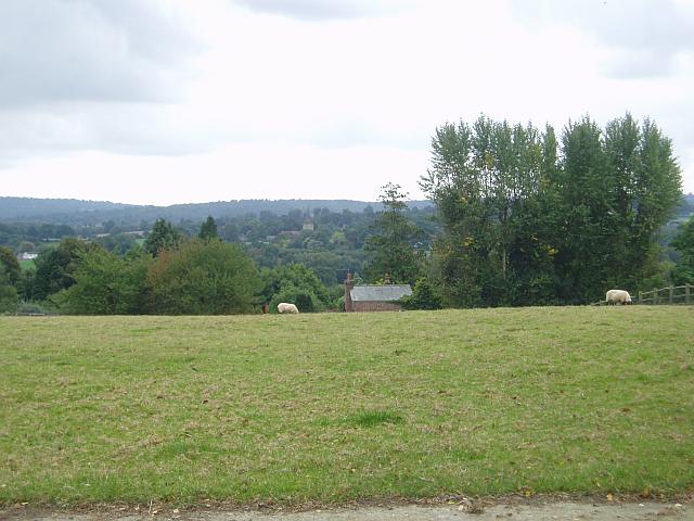
Tory Wood is a picturesque forest located in Sussex, England. Covering an area of approximately 100 acres, Tory Wood is known for its dense vegetation, towering trees, and tranquil atmosphere. The forest is situated on the outskirts of a small village, providing a serene and secluded environment for visitors to enjoy.
The wood is predominantly composed of deciduous trees such as oak, ash, and beech, which create a stunning canopy of foliage during the spring and summer months. These trees also provide a habitat for a diverse range of wildlife, including various bird species, deer, and small mammals.
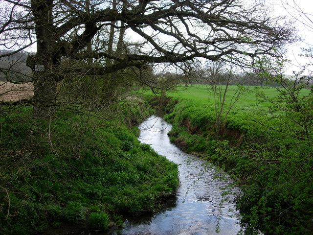
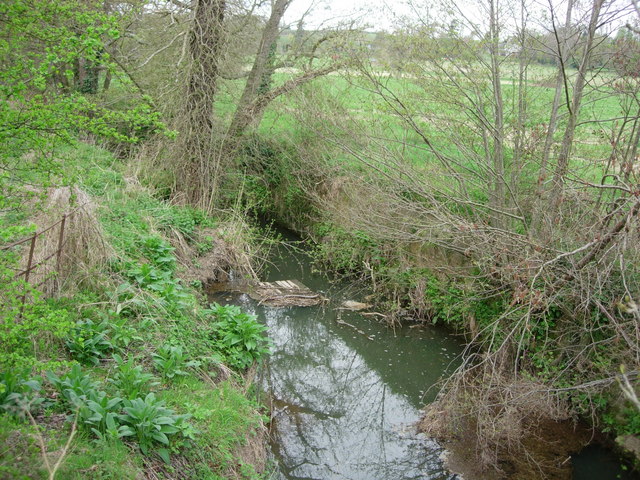
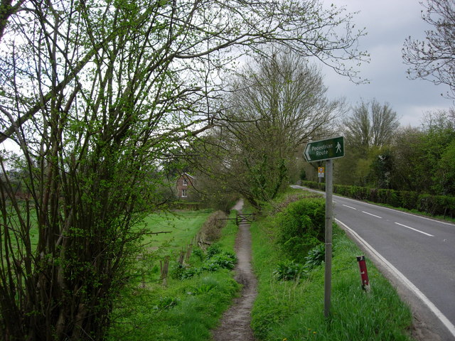
Tory Wood offers a network of well-maintained trails, allowing visitors to explore the forest at their own pace. These trails wind through the woodland, offering glimpses of beautiful wildflowers, moss-covered rocks, and babbling brooks. Nature enthusiasts will find plenty of opportunities for birdwatching and wildlife spotting along these paths.
Within the wood, there is a designated picnic area where visitors can enjoy a peaceful lunch surrounded by nature's beauty. Additionally, there are several benches scattered throughout the forest, providing the perfect spot to rest and take in the serene ambiance.
Tory Wood is a popular destination for nature lovers, hikers, and photographers seeking a tranquil escape from the hustle and bustle of everyday life. Whether one is looking for a leisurely stroll, a challenging hike, or simply a place to reconnect with nature, Tory Wood offers a serene and picturesque setting for all to enjoy.
If you have any feedback on the listing, please let us know in the comments section below.
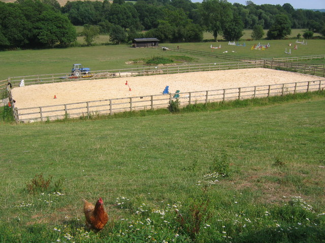
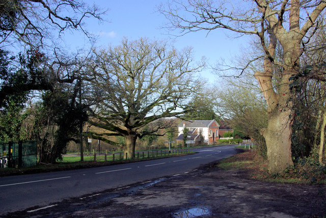
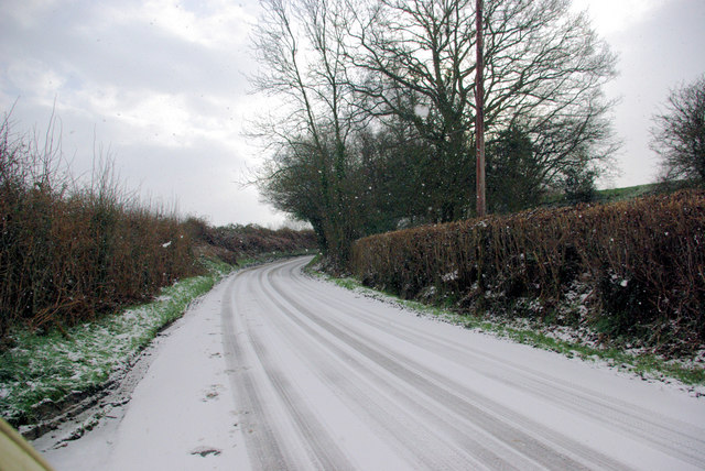
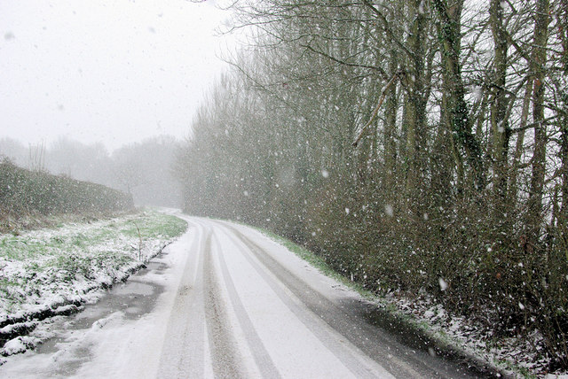
Tory Wood Images
Images are sourced within 2km of 51.114746/0.10536889 or Grid Reference TQ4737. Thanks to Geograph Open Source API. All images are credited.


Tory Wood is located at Grid Ref: TQ4737 (Lat: 51.114746, Lng: 0.10536889)
Administrative County: East Sussex
District: Wealden
Police Authority: Sussex
What 3 Words
///mammoth.monument.crunches. Near Groombridge, East Sussex
Related Wikis

Bolebroke Castle Miniature Railway
The Bolebroke Castle Miniature Railway or Bolebroke Castle and Lakes Railway (often abbreviated to BC&LR) was a 7+1⁄4 inches (180 mm) railway that ran...

Bolebroke Castle
Bolebroke Castle is a 15th-century hunting lodge located north of the village of Hartfield, East Sussex, England. It is a Grade II* listed building.The...

Mills Rocks
Mills Rocks is a 1.9-hectare (4.7-acre) biological Site of Special Scientific Interest south-east of East Grinstead in West Sussex.This site has rock outcrops...

Bassetts Manor
Bassetts Manor is a Grade II-listed building in Hartfield, East Sussex, England. == Location == The manor is located North of the village of Hartfield...

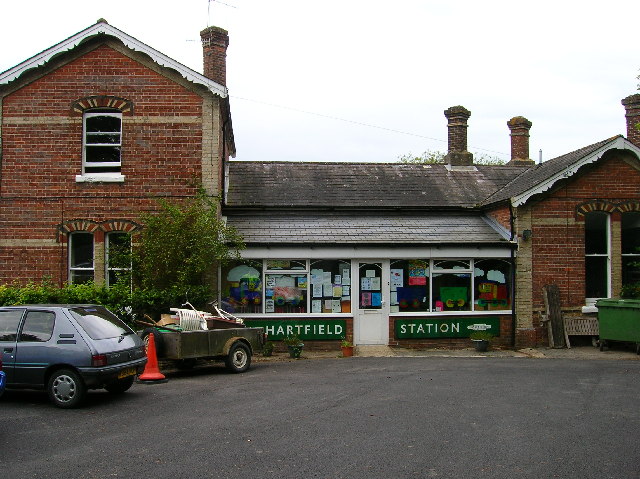
Hartfield railway station
Hartfield was a railway station serving Hartfield, England, on the Three Bridges to Tunbridge Wells Central Line which closed in 1967, a casualty of the...

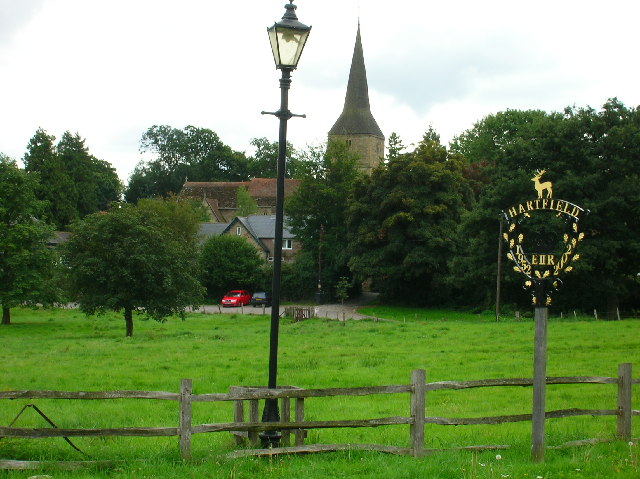
Hartfield
Hartfield is a village and civil parish in the Wealden district of East Sussex, England. The parish also includes the settlements of Colemans Hatch, Hammerwood...

Withyham
Withyham is a village and large civil parish in the Wealden district of East Sussex, England. The village is situated 7 miles south west of Royal Tunbridge...
Oliver Sutton (RAF officer)
Captain Oliver Manners Sutton (12 March 1896 – 16 August 1921) was a British First World War flying ace credited with seven aerial victories. == Family... ==
Nearby Amenities
Located within 500m of 51.114746,0.10536889Have you been to Tory Wood?
Leave your review of Tory Wood below (or comments, questions and feedback).