Upper Warehams Wood

Wood, Forest in Sussex Wealden

England

Upper Warehams Wood

Sawpit Wood From Forest Way
Sawpit Wood Credit: Simon Carey

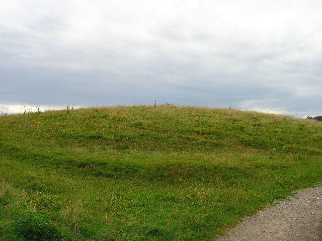
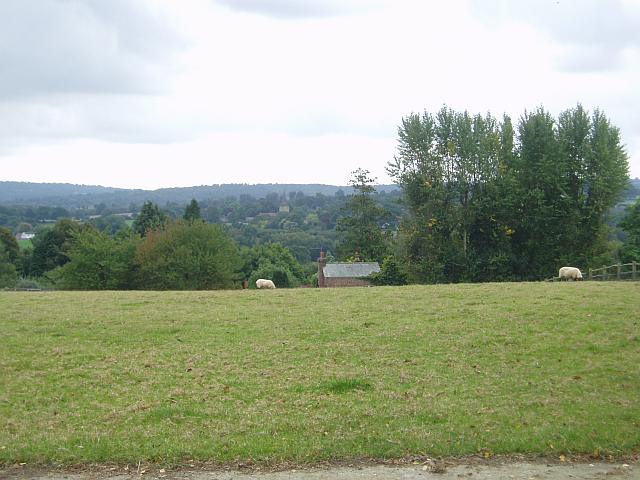
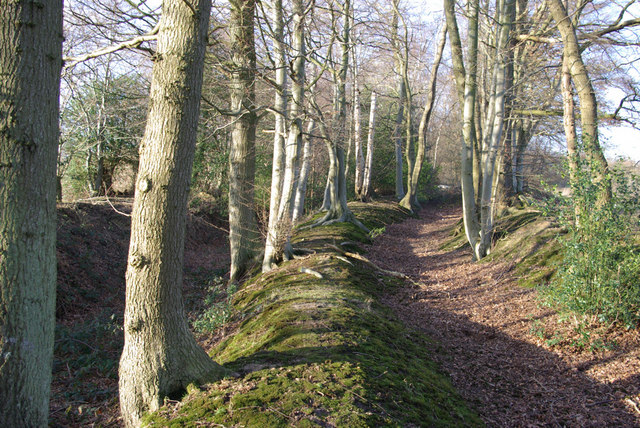
Upper Warehams Wood is a picturesque woodland located in the county of Sussex, England. Covering an area of approximately 100 acres, this enchanting forest is known for its diverse flora and fauna, making it a popular destination for nature enthusiasts and hikers alike.

The wood is predominantly made up of broadleaved trees, including oak, beech, and birch, which create a dense canopy overhead, providing shelter for a variety of wildlife. The forest floor is carpeted with a rich assortment of wildflowers, such as bluebells, primroses, and wood anemones, adding bursts of color to the woodland.

Trails wind through the wood, allowing visitors to explore its beauty on foot. The paths are well-maintained and suitable for all ages and abilities, providing a tranquil escape from the hustle and bustle of everyday life. Along the way, one may encounter a multitude of bird species, including woodpeckers, owls, and warblers, as well as small mammals like foxes, badgers, and squirrels.

Upper Warehams Wood is also home to a diverse range of insect life, including butterflies and bees, which thrive on the nectar provided by the abundant wildflowers. The wood is a haven for wildlife, offering a sustainable habitat for many species.

With its serene atmosphere, Upper Warehams Wood is the perfect place to immerse oneself in nature and enjoy the beauty of the Sussex countryside. Whether it's a leisurely stroll, a birdwatching expedition, or a picnic among the trees, this woodland promises a memorable experience for all who visit.

If you have any feedback on the listing, please let us know in the comments section below.

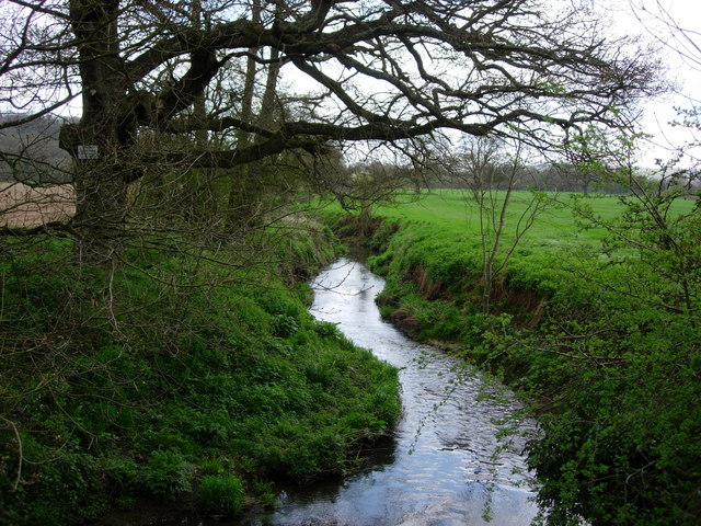
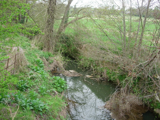
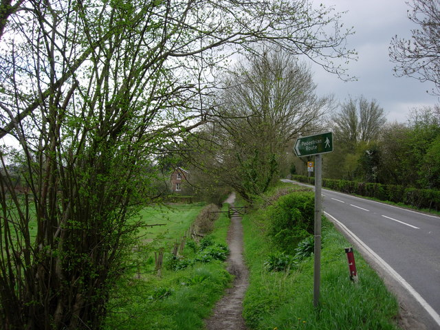
Upper Warehams Wood Images

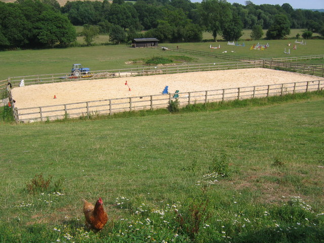
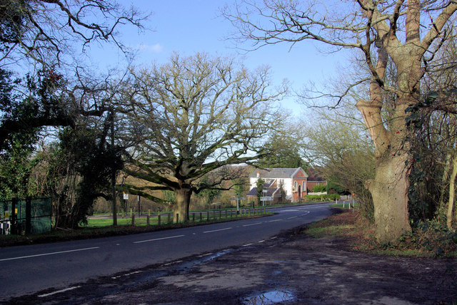
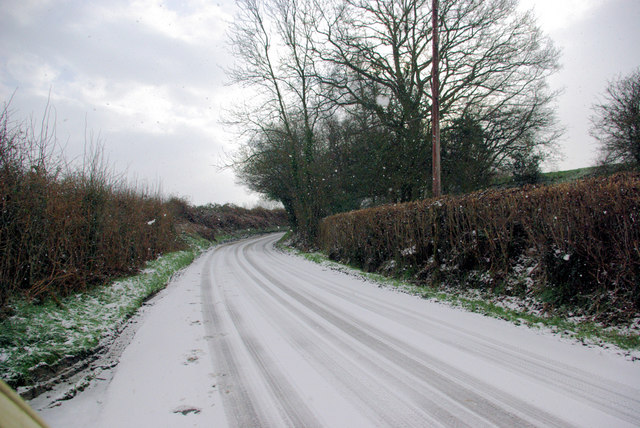
Images are sourced within 2km of 51.113609/0.10055941 or Grid Reference TQ4737. Thanks to Geograph Open Source API. All images are credited.

Sawpit Wood From Forest Way
Sawpit Wood
From Forest Way
Former Hartfield Station Now a nursery just off the Edenbridge Road.
Former Hartfield Station
Now a nursery just off the Edenbridge Road.
Hartfield village View of the Church from over the green.
Hartfield village
View of the Church from over the green.
Motte and Bailey earthwork, Castlefields, Hartfield Looking north
Motte and Bailey earthwork, Castlefields, Hartfield
Looking north
Castlefields, Hartfield The B2110 heads east out of the village
Castlefields, Hartfield
The B2110 heads east out of the village
Roman road near Holtye Near Holtye a section of the Roman road from London to Lewes was excavated and bought for preservation by the Sussex Archaeological Society.
Roman road near Holtye
Near Holtye a section of the Roman road from London to Lewes was excavated and bought for preservation by the Sussex Archaeological Society.
Bassett's Manor Looking northwards from the road/path towards Bassett's Manor farm buildings. Cattle in the far field.
Bassett's Manor
Looking northwards from the road/path towards Bassett's Manor farm buildings. Cattle in the far field.
Bassett's Manor fields Looking south west over the farm buildings towards the distant sunshine
Bassett's Manor fields
Looking south west over the farm buildings towards the distant sunshine
Bolebrook Castle Reputedly the earliest brick building in Sussex (around 1480) and legend has it that Henry VIII came here to hunt the deer, wild boar and woo Ann Boleyn who lived 5 miles away at Hever.
Bolebrook Castle
Reputedly the earliest brick building in Sussex (around 1480) and legend has it that Henry VIII came here to hunt the deer, wild boar and woo Ann Boleyn who lived 5 miles away at Hever.
Towards Hartfield From Butcherfield Lane looking south towards Hartfield. You can just make out the spire at St Mary the Virgin Parish Church
Towards Hartfield
From Butcherfield Lane looking south towards Hartfield. You can just make out the spire at St Mary the Virgin Parish Church
River Medway - Hartfield This is the River Medway looking east from a bridge in Hartfield

This is the River Medway looking east from a road bridge in Hartfield.
River Medway - Hartfield
This is the River Medway looking east from a bridge in Hartfield This is the River Medway looking east from a road bridge in Hartfield.
The River Medway - Hartfield A tiny River Medway looking west from a road bridge in Hartfield.
The River Medway - Hartfield
A tiny River Medway looking west from a road bridge in Hartfield.
Footpath  -Hartfield A footpath leading to the old station in Hartfield, now a nursery school
Footpath -Hartfield
A footpath leading to the old station in Hartfield, now a nursery school
Sand school and horse paddocks
B2110/B2026 Junction, Hartfield. This is the junction south of Hartfield, the B2026 is in the foreground, the B2110 behind the tree.
B2110/B2026 Junction, Hartfield.
This is the junction south of Hartfield, the B2026 is in the foreground, the B2110 behind the tree.
Butcherfield Lane in the snow The snow was increasing.
Butcherfield Lane in the snow
The snow was increasing.
B2026 by Tye Farm Cottages A snowy morning, but a well salted road.
B2026 by Tye Farm Cottages
A snowy morning, but a well salted road.
Old Trackways above Lower Parrock These were probably formed when iron ore from the Wadhurst Clay along the higher ground north of the Medway was brought down to the iron works at Lower Parrock. The public footpath now forms a parallel third way at the field edge to the right.
Old Trackways above Lower Parrock
These were probably formed when iron ore from the Wadhurst Clay along the higher ground north of the Medway was brought down to the iron works at Lower Parrock. The public footpath now forms a parallel third way at the field edge to the right.
Show me another place!

Upper Warehams Wood is located at Grid Ref: TQ4737 (Lat: 51.113609, Lng: 0.10055941)

Administrative County: East Sussex

District: Wealden

Police Authority: Sussex

What 3 Words

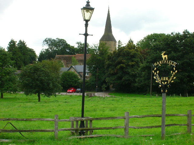
///broth.comically.editor. Near Forest Row, East Sussex

Related Wikis

Bolebroke Castle Miniature Railway

The Bolebroke Castle Miniature Railway or Bolebroke Castle and Lakes Railway (often abbreviated to BC&LR) was a 7+1⁄4 inches (180 mm) railway that ran...

Bolebroke Castle

Bolebroke Castle is a 15th-century hunting lodge located north of the village of Hartfield, East Sussex, England. It is a Grade II* listed building.The...

Bassetts Manor

Bassetts Manor is a Grade II-listed building in Hartfield, East Sussex, England. == Location == The manor is located North of the village of Hartfield...

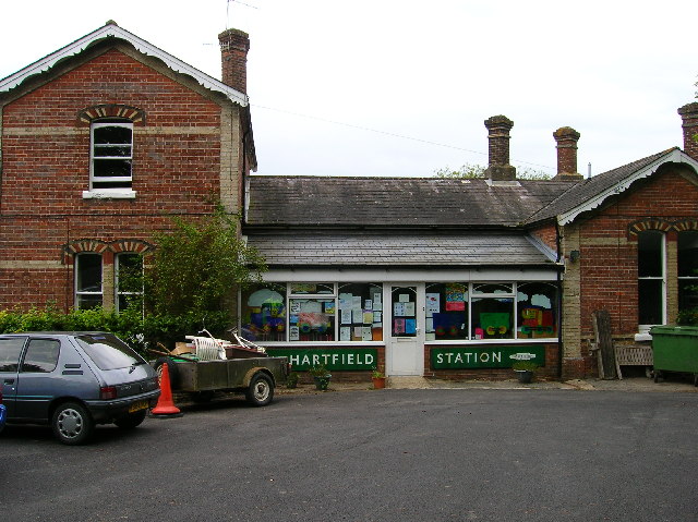
Hartfield railway station

Hartfield was a railway station serving Hartfield, England, on the Three Bridges to Tunbridge Wells Central Line which closed in 1967, a casualty of the...

Nearby Amenities

Located within 500m of 51.113609,0.10055941
Access: no
Barrier: yes
Lat/Long: 51.1120536/0.1057941
The data included in this document is from www.openstreetmap.org. The data is made available under ODbL.

Have you been to Upper Warehams Wood?

Leave your review of Upper Warehams Wood below (or comments, questions and feedback).