Gillwell Plantation

Wood, Forest in Lincolnshire East Lindsey

England

Gillwell Plantation

Ploughed out earthwork and soil marks at Claxby St. Andrew: aerial 2021 (1)
Ploughed out earthwork and soil marks at Claxby St. Andrew: aerial 2021 (1) Credit: Simon Tomson

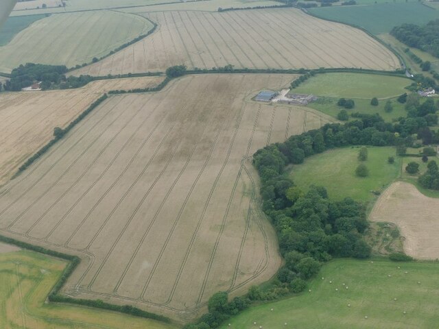
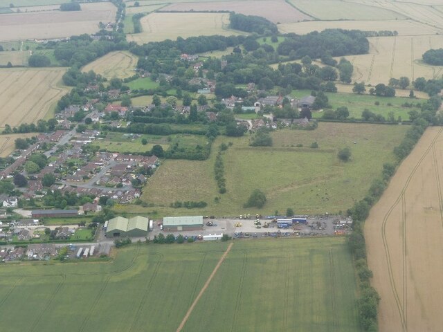
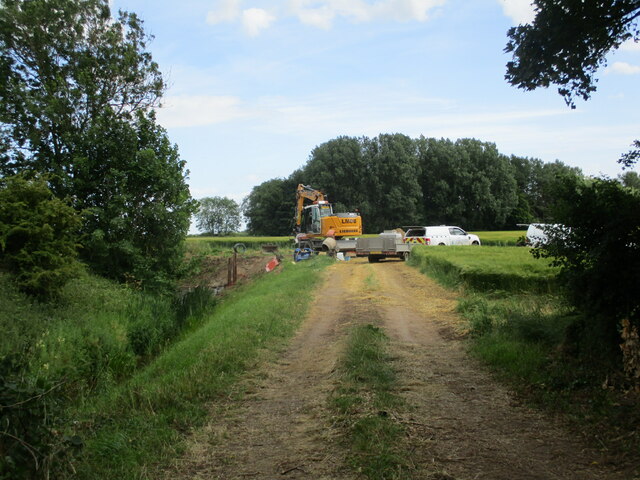
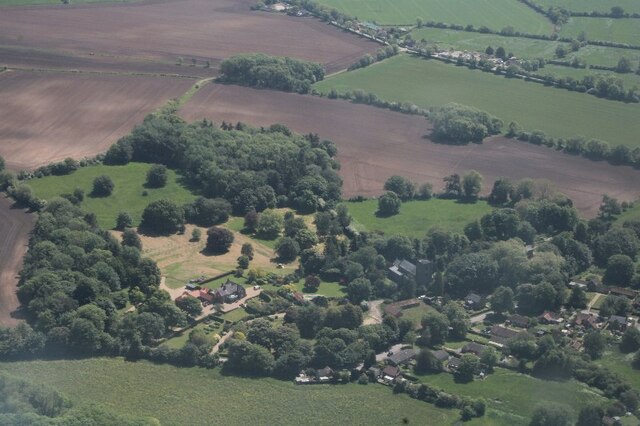
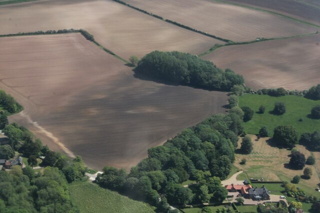
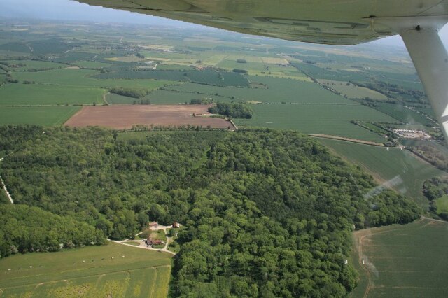
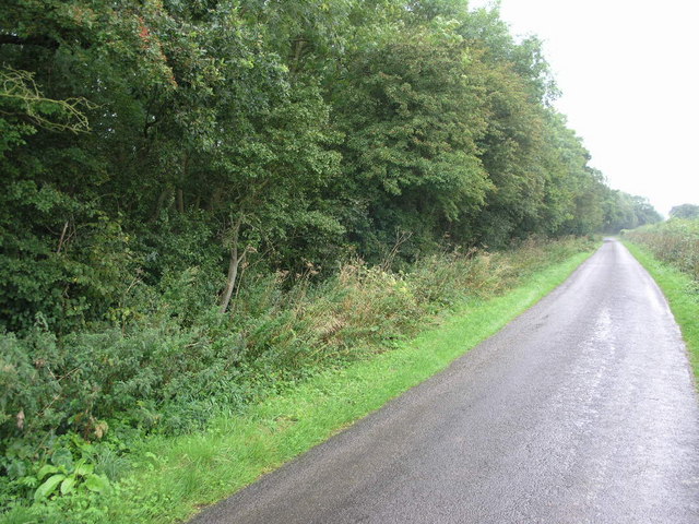
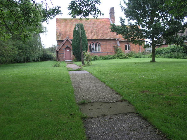
Gillwell Plantation, located in Lincolnshire, is a sprawling woodland area renowned for its scenic beauty and rich biodiversity. Spanning over several acres, the plantation is primarily composed of a diverse mix of trees, including oak, birch, beech, and pine, which collectively create a captivating forest landscape.

The plantation serves as an important habitat for numerous wildlife species, making it a popular destination for nature enthusiasts and birdwatchers. It is home to a wide range of bird species, such as woodpeckers, owls, and various songbirds, which thrive amidst the lush greenery. Additionally, the woodland provides a haven for mammals like squirrels, foxes, and deer, which can often be spotted roaming freely.

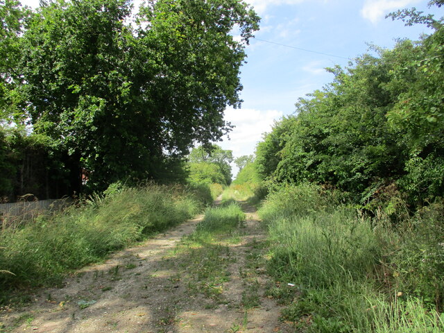
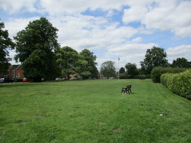
The plantation offers visitors a tranquil escape from the hustle and bustle of city life. It features well-maintained walking trails that wind through the woods, allowing visitors to explore the natural beauty at their own pace. These paths are often frequented by hikers and joggers, as well as families seeking a pleasant picnic spot surrounded by nature.

Gillwell Plantation also holds educational value, attracting students and researchers interested in studying the local flora and fauna. Its diverse ecosystem provides ample opportunities for scientific observation and ecological research.

Overall, Gillwell Plantation in Lincolnshire is a captivating woodland area that offers a picturesque setting for nature lovers, hikers, and researchers alike. With its lush foliage, abundant wildlife, and serene atmosphere, it continues to be a cherished natural gem in the region.

If you have any feedback on the listing, please let us know in the comments section below.

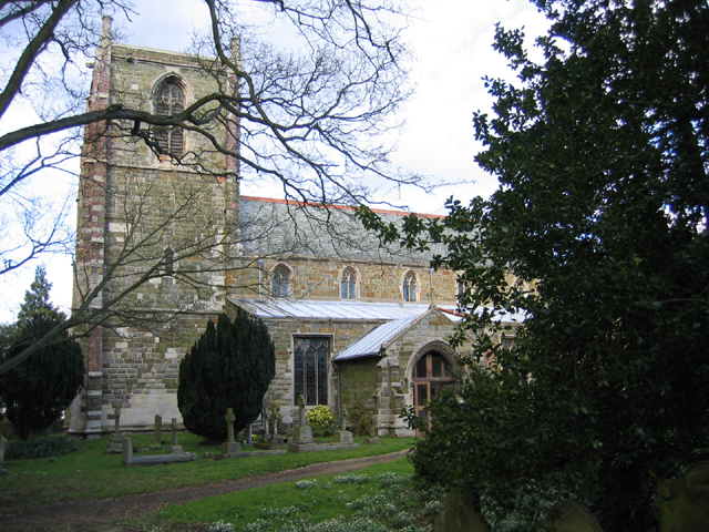
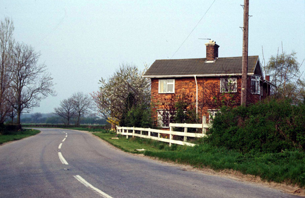
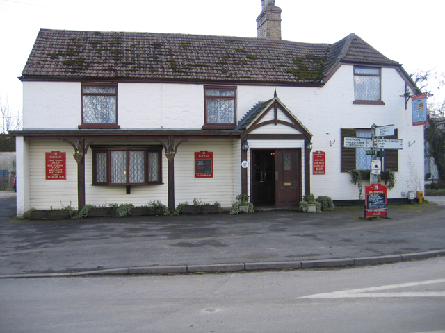
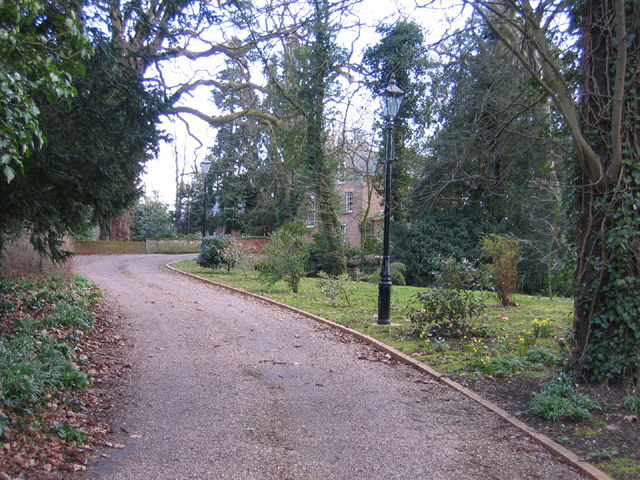
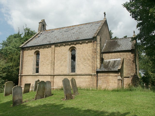
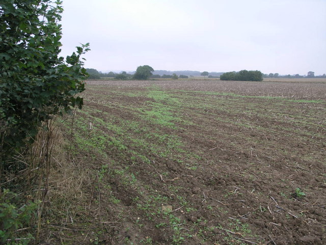
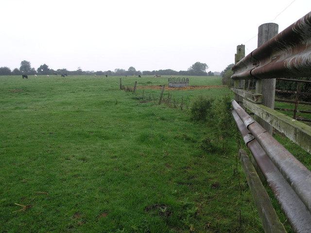
Gillwell Plantation Images

Images are sourced within 2km of 53.213751/0.20196041 or Grid Reference TF4770. Thanks to Geograph Open Source API. All images are credited.

Ploughed out earthwork and soil marks at Claxby St. Andrew: aerial 2021 (1)
Dam Close and Willoughby: aerial 2021 "Dam Close" appears to be two fortified enclosures with entrances on the north and south sides. The banks have been reduced in height to the north west and end in a small hollow and subsidiary enclosure. To the south east the area has been levelled. There are no signs of foundations within the enclosure. See:
<span class="nowrap"><a title="http://www.heritagegateway.org.uk/Gateway/Results_Single.aspx?uid=MLI42004&resourceID=1006" rel="nofollow ugc noopener" href="http://www.heritagegateway.org.uk/Gateway/Results_Single.aspx?uid=MLI42004&resourceID=1006">Link</a><img style="margin-left:2px;" alt="External link" title="External link - shift click to open in new window" src="https://s1.geograph.org.uk/img/external.png" width="10" height="10"/></span>
Dam Close and Willoughby: aerial 2021
"Dam Close" appears to be two fortified enclosures with entrances on the north and south sides. The banks have been reduced in height to the north west and end in a small hollow and subsidiary enclosure. To the south east the area has been levelled. There are no signs of foundations within the enclosure. See: LinkExternal link
Bridleway towards Farlesthorpe
The village green, Willoughby
Drainage work near Willoughby Duck Pond Spinney in the background.
Drainage work near Willoughby
Duck Pond Spinney in the background.
The Grange, Willoughby: aerial 2023
Cropmarks near Willoughby Grange: aerial 2023 (1)
TF4772 : Cropmarks near Willoughby Grange: aerial 2023 (2)
Welton Low Wood and Castle Hill: aerial 2023 Castle Hill and moated site centre, above the wood.
Welton Low Wood and Castle Hill: aerial 2023
Castle Hill and moated site centre, above the wood.
Church of St Helena, Willoughby, Lincs The church is early 14th, late 14th, & early 15th Century. Consisting of Western tower, clerestoried nave, aisles, chancel, & south porch. There was a major restoration by James Fowler of Louth in 1880. The construction is squared coursed greenstone rubble, limestone ashlar rubble, red brick patching, with slate and lead roofs (<span class="nowrap"><a title="www.willoughbylincs.f9.co.uk/churches/w-history-04.html)" rel="nofollow ugc noopener" href="http://www.willoughbylincs.f9.co.uk/churches/w-history-04.html)">Link</a><img style="margin-left:2px;" alt="External link" title="External link - shift click to open in new window" src="https://s1.geograph.org.uk/img/external.png" width="10" height="10"/></span>
Church of St Helena, Willoughby, Lincs
The church is early 14th, late 14th, & early 15th Century. Consisting of Western tower, clerestoried nave, aisles, chancel, & south porch. There was a major restoration by James Fowler of Louth in 1880. The construction is squared coursed greenstone rubble, limestone ashlar rubble, red brick patching, with slate and lead roofs (LinkExternal link
Hanby Lane Gatehouse, Willoughby, Lincs Former gatehouse on the disused East Lincolnshire line from Firsby to Louth, where my great-grandfather was platelayer and gateman from 1856 until c.1910; now a private residence.
Hanby Lane Gatehouse, Willoughby, Lincs
Former gatehouse on the disused East Lincolnshire line from Firsby to Louth, where my great-grandfather was platelayer and gateman from 1856 until c.1910; now a private residence.
Willoughby Arms, Willoughby, Lincs – on Church Lane, selling Bateman's Real Ale.
Willoughby Arms, Willoughby, Lincs
– on Church Lane, selling Bateman's Real Ale.
Old Rectory and drive, Willoughby, Lincs – adjacent to the church, but in private ownership since 1993.
Old Rectory and drive, Willoughby, Lincs
– adjacent to the church, but in private ownership since 1993.
St Andrew's Church, Claxby (by Alford) The church of St Andrew is now a private dwelling.
St Andrew's Church, Claxby (by Alford)
The church of St Andrew is now a private dwelling.
Willoughby World War 1 Plaque This is a white marble plaque listing 10 men who left Willoughby to fight in the Great War and never returned. It is fixed to the south wall of the Parish Church of St Helena.
Willoughby World War 1 Plaque
This is a white marble plaque listing 10 men who left Willoughby to fight in the Great War and never returned. It is fixed to the south wall of the Parish Church of St Helena.
Path to Willoughby This footpath which is visible in the field as a line of small green plants leads to Willoughby in the next square west.
Path to Willoughby
This footpath which is visible in the field as a line of small green plants leads to Willoughby in the next square west.
Cows and Crash Barrier The cows in this field must need some controlling at times given the motorway barrier in use at the field entrance.
Cows and Crash Barrier
The cows in this field must need some controlling at times given the motorway barrier in use at the field entrance.
Willoughby Wood This lane cuts through the NW corner of this square whereas Willoughby Wood fills the entire NW quarter of the square.
Willoughby Wood
This lane cuts through the NW corner of this square whereas Willoughby Wood fills the entire NW quarter of the square.
Show me another place!

Gillwell Plantation is located at Grid Ref: TF4770 (Lat: 53.213751, Lng: 0.20196041)

Administrative County: Lincolnshire

District: East Lindsey

Police Authority: Lincolnshire

What 3 Words

///recorders.skipped.soaks. Near Alford, Lincolnshire

Related Wikis

Thwaite Priory

Thwaite Priory was a monastery at Welton le Marsh in Lincolnshire, England. It was a house of Augustinian Canons Regular, dependent on Thornton Abbey...

Willoughby, Lincolnshire

Willoughby is a village in the district of East Lindsey, Lincolnshire, England. It is situated three miles (five kilometres) south from the market town...

Willoughby railway station

Willoughby was a railway station on the East Lincolnshire Railway which served the village of Willoughby in Lincolnshire between 1848 and 1970. In 1886...

Welton le Marsh

Welton le Marsh (or Welton in the Marsh) is a village and civil parish in the East Lindsey district of Lincolnshire, England. It is situated approximately...

Claxby St Andrew

Claxby St Andrew (sometimes known as Claxby), is a village and civil parish about 3 miles (5 km) south of Alford, in the East Lindsey district of Lincolnshire...

Bonthorpe

Bonthorpe is a hamlet in the East Lindsey district of Lincolnshire, England. It is situated 1 mile (1.6 km) north-east from the village of Willoughby....

Sloothby

Sloothby is a small village in the East Lindsey district of Lincolnshire, England. It is situated approximately 5 miles (8 km) south from the Lincolnshire...

Willoughby with Sloothby

Willoughby with Sloothby is a civil parish in the East Lindsey district of Lincolnshire in the East Midlands of England. The parish includes the settlements...

Nearby Amenities

Located within 500m of 53.213751,0.20196041
Beckfield House
Place: isolated_dwelling
Source: Bing
Lat/Long: 53.2150574/0.2020188
Oakdene
Place: isolated_dwelling
Source: Bing
Lat/Long: 53.2118758/0.1991722
The data included in this document is from www.openstreetmap.org. The data is made available under ODbL.

Have you been to Gillwell Plantation?

Leave your review of Gillwell Plantation below (or comments, questions and feedback).