Aqvae Arnemetiae

Heritage Site in Derbyshire

England

Aqvae Arnemetiae

The southern entrance to the Pavilion Gardens Buxton
The southern entrance to the Pavilion Gardens Buxton Credit: Rod Allday

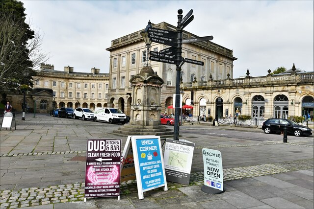
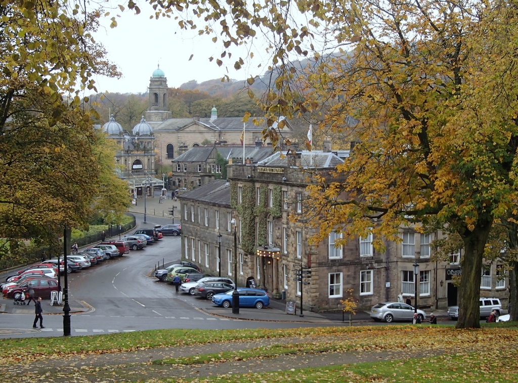
Aqvae Arnemetiae is a notable heritage site located in Derbyshire, England. It is an ancient Roman spa town that was established around the 1st century AD. The name Aqvae Arnemetiae translates to "the waters of the goddess Arnemetia," referring to the local deity worshipped at the site.

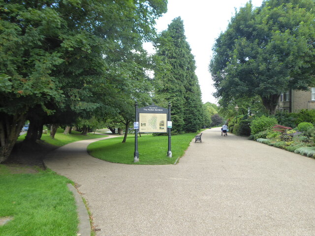
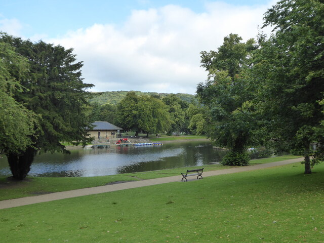
The spa town was built around a natural thermal spring, which was believed to have healing properties. The Romans constructed a complex system of baths and buildings to harness and utilize the hot spring water. The site became a popular destination for people seeking relaxation and medicinal treatments.

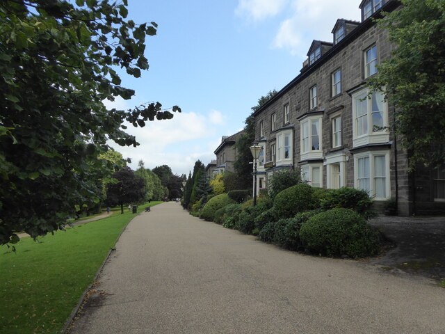
Aqvae Arnemetiae was an important hub during Roman times, serving as a social and commercial center. It featured various amenities such as bathhouses, temples, shops, and public squares. The town's prosperity and significance can be evidenced by the several grand structures that were constructed, including a large bathhouse and a temple dedicated to the goddess Arnemetia.

Today, Aqvae Arnemetiae is an archaeological site that provides valuable insights into Roman life and culture. Excavations have uncovered numerous artifacts, including coins, pottery, and architectural remains. The site offers visitors the opportunity to explore the ruins, envisioning the once-thriving Roman spa town.

Aqvae Arnemetiae is a cherished heritage site that not only showcases the Romans' engineering prowess but also sheds light on the importance of spa culture in ancient times. It serves as a reminder of the rich history and cultural heritage of Derbyshire.

If you have any feedback on the listing, please let us know in the comments section below.

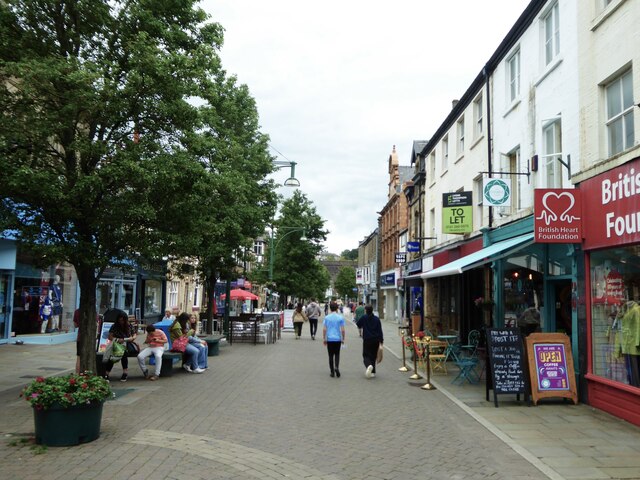
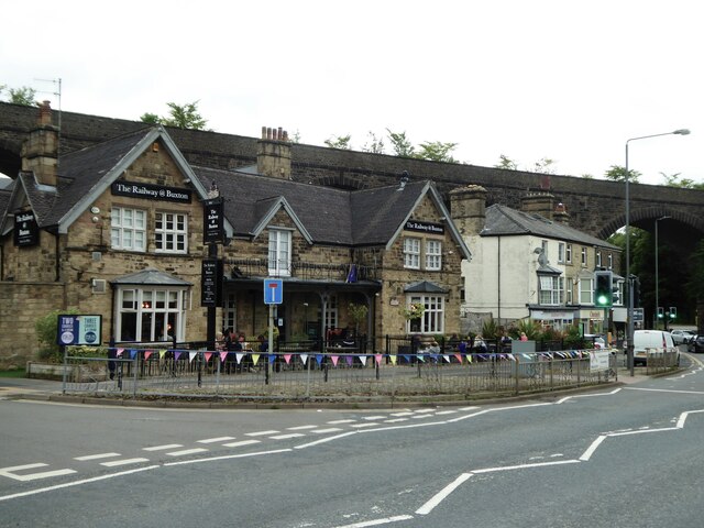
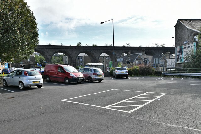
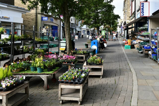
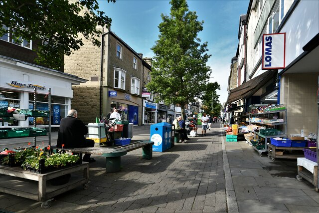
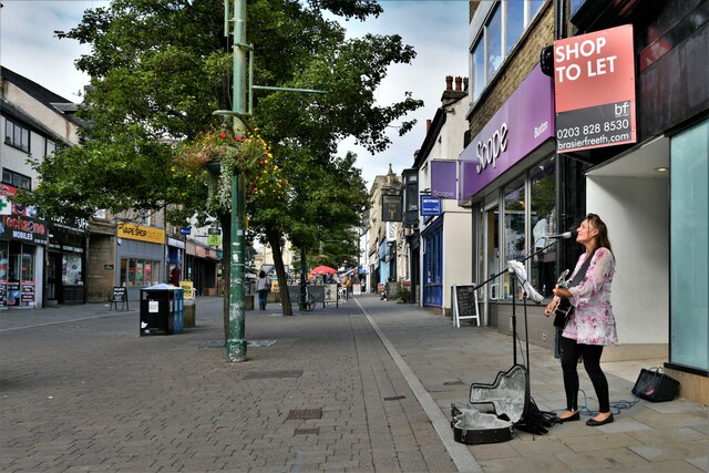
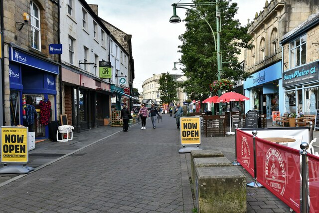
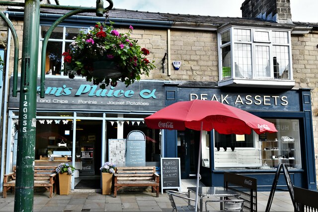
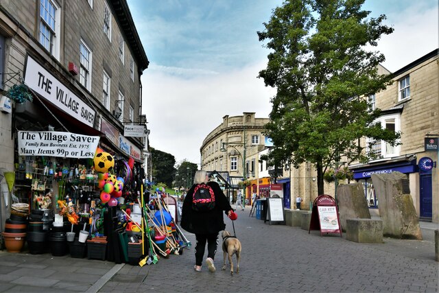
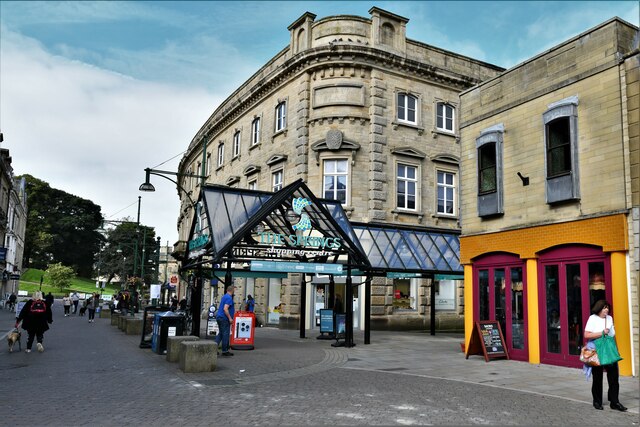
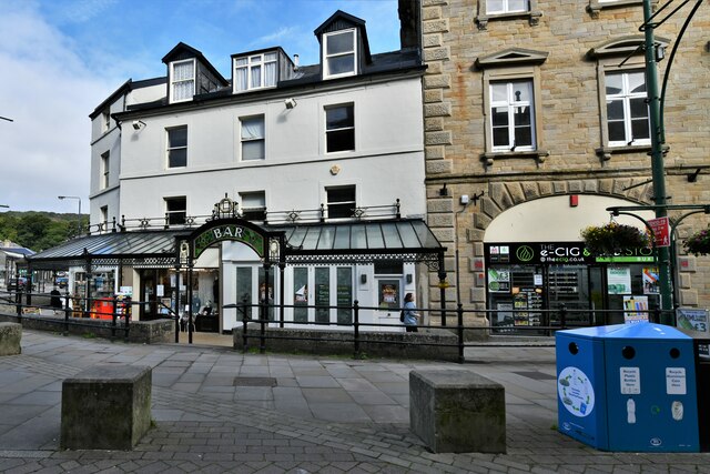
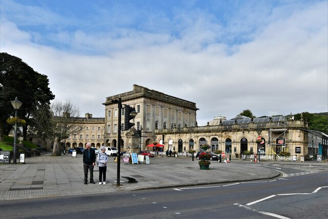
Aqvae Arnemetiae Images

Images are sourced within 2km of 53.258/-1.903 or Grid Reference SK0673. Thanks to Geograph Open Source API. All images are credited.

The southern entrance to the Pavilion Gardens Buxton
The lake in Pavilion Gardens Buxton
Large houses on Broad Walk overlooking Pavilion Gardens Originally grand town houses these are now nearly all guest accommodation or businesses.
Large houses on Broad Walk overlooking Pavilion Gardens
Originally grand town houses these are now nearly all guest accommodation or businesses.
Queen Victoria (VR) Post Box (1837-1901), Buxton
Looking east along Spring Gardens
The Railway @ Buxton public house
Buxton: Small private car park
Buxton: Spring Gardens
Buxton: Busking in Spring Gardens
Buxton: Spring Gardens
Buxton, Spring Gardens: Sam's Plaice and Peak Assets
Buxton: Spring Gardens
Buxton: Entrance to the Spring Gardens Shopping Centre
Buxton: Busking near to the entrance to the Spring Gardens Shopping Centre
Buxton: Spring Gardens
Buxton: The Crescent
Buxton: Multidirectional sign and a few ads in front of The Crescent
Show me another place!

Aqvae Arnemetiae is located at Grid Ref: SK0673 (Lat: 53.258, Lng: -1.903)

Police Authority: Derbyshire

What 3 Words

///zebra.entitles.backward. Near Buxton, Derbyshire

Related Wikis

Buxton F.C.

Buxton Football Club is a football club based in Buxton, Derbyshire, England. They are currently members of the National League North and play at the Silverlands...

Higher Buxton railway station

Higher Buxton railway station was opened in 1894 to the south east of Buxton, Derbyshire, on the LNWR line to Ashbourne and the south. It utilised part...

Hogshawe

Hogshawe or Hogshaw is an area of settlement in Derbyshire, England. It is a part of Buxton, located between the A6 Fairfield Road and the present Peak...

Buxton

Buxton is a spa town in the Borough of High Peak, Derbyshire, in the East Midlands region of England. It is England's highest market town, sited at some...

Municipal Borough of Buxton

Buxton was an Urban District from 1894 to 1917 and a Municipal Borough from 1917 to 1974 in Derbyshire, England.It was created as an Urban District in...

Fairfield, Derbyshire

Fairfield is a district of Buxton in the High Peak of Derbyshire. The historic medieval village of Fairfield was centred around a village green. ��2�...

Buxton railway station (Midland Railway)

Buxton (Midland) railway station served the town of Buxton, Derbyshire, England between 1863 and 1967. == History == The station was opened by the Midland...

Buxton Museum and Art Gallery

Buxton Museum and Art Gallery focuses its collection on history, geology and archaeology primarily from the Peak District and Derbyshire.The museum is...

Nearby Amenities

Located within 500m of 53.258,-1.903
Buxton
Name Arz: باكستين
Name Azb: بوکستون
Name Br: Buxton
Name Ceb: Buxton
Name Cy: Buxton
Name Da: Buxton
Name De: Buxton
Name Es: Buxton
Name Fa: بوکستون
Name Fr: Buxton
Name Ga: Buxton
Name It: Buxton
Name Ko: 벅스턴
Name Nl: Buxton
Name Nn: Buxton
Name No: Buxton
Name Pl: Buxton
Name Pt: Buxton
Name Ro: Buxton
Name Ru: Бакстон
Name Sv: Buxton
Name Vo: Buxton
Name Zh: 巴克斯頓
Place: town
Wikidata: Q971223
Wikipedia: en:Buxton
Lat/Long: 53.2593422/-1.9100768
Mini Roundabout
Direction: clockwise
Lat/Long: 53.2592154/-1.9064667
Post Office
Buxton Post Office
Addr Country: GB
Addr Postcode: SK17 6AA
Brand: Post Office
Brand Wikidata: Q1783168
Contact Website: https://www.postoffice.co.uk/branch-finder/3424324/buxton
Opening Hours: Mo-Sa 09:00-17:30
Ref Pol Id: 22792
Lat/Long: 53.2595457/-1.9085619
Pub
The Railway @ Buxton
Addr City: Buxton
Addr Postcode: SK17 6BS
Addr Street: Bridge Street
Brewery: yes
Fhrs Id: 1258748
Opening Hours: Mo-Th,Su 11:30-22:00; Fr-Sa 11:30-23:00
Operator: Joseph Holt's Brewery
Phone: +44 1298 71858
Real Ale: yes
Smoking: outside
Toilets: yes
Toilets Wheelchair: yes
Website: https://www.joseph-holt.com/pubs/railway-buxton
Wheelchair: yes
Wikidata: Q10540942
Wikipedia: en:Joseph Holt's Brewery
Lat/Long: 53.2597694/-1.9077453
Disused Amenity: pub
Old Name: Prince Of Wales
Lat/Long: 53.2601985/-1.9051668
Turning Circle
Lat/Long: 53.2556294/-1.9053359
Turning Circle
Lat/Long: 53.2547398/-1.9063604
Turning Circle
Lat/Long: 53.2555011/-1.9062751
Traffic Signals
Lat/Long: 53.2601014/-1.9054187
Turning Circle
Lat/Long: 53.2559696/-1.9061614
Turning Circle
Lat/Long: 53.2560376/-1.905166
Traffic Signals
Crossing: traffic_signals
Kerb: lowered
Tactile Paving: yes
Traffic Signals: pedestrian_crossing
Lat/Long: 53.2596428/-1.9080467
Police
'B' Divisional Headquarters (Buxton Enquiry Office)
Addr City: Buxton
Addr Housename: Buxton Enquiry Office
Addr Postcode: SK17 6QL
Addr Street: Silverlands
Opening Hours: Mo-Fr 10:00-16:00
Operator: Derbyshire Constabulary
Operator Wikidata: Q5261560
Website: https://www.derbyshire.police.uk/area/your-area/derbyshire/high-peak/buxton-town/about-us/top-reported-crimes-in-this-area
Lat/Long: 53.2574438/-1.9069027
Post Box
Lat/Long: 53.260825/-1.900733
Fast Food
Wing Lee
Addr City: Buxton
Addr Housenumber: 3
Addr Postcode: SK17 7PJ
Addr Street: Bench Road
Cuisine: chinese
Fhrs Id: 1280105
Old Fhrs Id: 1258742
Takeaway: only
Wheelchair: limited
Lat/Long: 53.2610865/-1.9009827
Fast Food
China House
Addr City: Buxton
Addr Housenumber: 115
Addr Postcode: SK17 7PE
Addr Street: Victoria Park Road
Cuisine: chinese
Fhrs Id: 1258664
Old Fhrs Id: 389730
Wheelchair: yes
Lat/Long: 53.2575408/-1.8982905
Fast Food
Fairfield Plaice
Addr City: Buxton
Addr Housenumber: 159
Addr Postcode: SK17 7PE
Addr Street: Victoria Park Road
Cuisine: fish_and_chips
Fhrs Id: 1258834
Old Fhrs Id: 389462
Wheelchair: no
Lat/Long: 53.257612/-1.8978329
Post Box
Lat/Long: 53.257475/-1.8981658
Post Box
Brand: Royal Mail
Brand Wikidata: Q638098
Mapillary: 271793211523732
Operator: Royal Mail
Operator Wikidata: Q638098
Post Box Type: pillar
Survey Date: 2021-07-17
Lat/Long: 53.260765/-1.905645
Barrier: fence
Lat/Long: 53.2561214/-1.9038937
Barrier: fence
Lat/Long: 53.2561624/-1.9040264
Buxton Curve Junction
Alt Name: Buxton East Junction
Railway: junction
Lat/Long: 53.2605781/-1.9072596
Higher Buxton
Historic Railway: station
Railway: site
Lat/Long: 53.2557894/-1.9083298
Traffic Signals
Lat/Long: 53.2593217/-1.9071523
Recycling
Location: overground
Operator: Salvation Army, Morrisons Foundation
Recycling Clothes: yes
Recycling Shoes: yes
Recycling Type: container
Lat/Long: 53.2542001/-1.9038477
Barrier: bollard
Lat/Long: 53.2600527/-1.9050603
Barrier: bollard
Lat/Long: 53.2600647/-1.9050643
Barrier: bollard
Lat/Long: 53.2600414/-1.9050569
Barrier: bollard
Lat/Long: 53.2600751/-1.905067
Barrier: kerb
Kerb: lowered
Tactile Paving: yes
Wheelchair: yes
Lat/Long: 53.2601014/-1.9053492
Bank
Halifax
Addr Housenumber: 74
Addr Postcode: SK17 6DL
Addr Street: Spring Gardens
Atm: yes
Brand: Halifax
Brand Wikidata: Q3310164
Brand Wikipedia: en:Halifax (bank)
Opening Hours: Mo, We-Fr 09:00-16:00; Sa 09:00-13:00
Phone: +44 345 720 3040
Website: https://branches.halifax.co.uk/buxton/74-spring-gardens
Wheelchair: yes
Lat/Long: 53.2592539/-1.9096578
Crossing
Crossing: marked
Crossing Island: no
Kerb: flush_[road_hump]
Tactile Paving: yes
Traffic Calming: table
Lat/Long: 53.2593818/-1.9084625
Crossing
Crossing: marked
Crossing Island: no
Kerb: flush_[road_hump]
Tactile Paving: no
Traffic Calming: table
Lat/Long: 53.2596959/-1.9081988
Crossing
Crossing: marked
Crossing Island: no
Kerb: lowered_and_sloped
Tactile Paving: yes
Traffic Calming: rumble_strip
Lat/Long: 53.2593156/-1.9091983
Barrier: kerb
Kerb: lowered
Tactile Paving: yes
Wheelchair: yes
Lat/Long: 53.2591836/-1.9077211
Telephone
Booth: KX100
Covered: booth
Lat/Long: 53.2594302/-1.9085112
Post Box
Collection Times: Mo-Fr 17:15; Sa 12:00
Operator: Royal Mail
Operator Wikidata: Q638098
Post Box Type: pillar
Ref: SK17 27
Royal Cypher: EIIR
Lat/Long: 53.2594382/-1.9086721
Boots
Addr Housenumber: 62
Addr Street: Spring Gardens
Brand: Boots
Brand Wikidata: Q6123139
Brand Wikipedia: en:Boots (company)
Opening Hours: Mo-Fr 09:00-17:30; Sa 09:00-17:00; Su 10:00-16:00
Phone: +44 1298 23084
Shop: chemist
Toilets Wheelchair: no
Website: https://www.boots.com/stores/1118-buxton-spring-gardens-sk17-6bz
Wheelchair: yes
Lat/Long: 53.2592159/-1.9101416
Iceland
Addr City: Buxton
Addr Housenumber: 88
Addr Postcode: SK17 6BZ
Addr Street: Spring Gardens
Brand: Iceland
Brand Wikidata: Q721810
Brand Wikipedia: en:Iceland (supermarket)
Contact Website: https://www.iceland.co.uk/store-finder/store?StoreID=264&StoreName=BUXTON
Fhrs Id: 1419324
Shop: frozen_food
Toilets Wheelchair: no
Wheelchair: yes
Lat/Long: 53.2592156/-1.90868
Lomas Foods
Addr City: Buxton
Addr Housenumber: 77-79
Addr Postcode: SK17 6BP
Addr Street: Spring Gardens
Fhrs Id: 1259227
Shop: supermarket
Toilets Wheelchair: no
Wheelchair: yes
Lat/Long: 53.2594614/-1.9094364
Cafe
Stars Cafe
Addr City: Buxton
Addr Housenumber: 95
Addr Postcode: SK17 6BP
Addr Street: Spring Gardens
Fhrs Id: 1260418
Toilets Wheelchair: no
Wheelchair: no
Lat/Long: 53.2594868/-1.908776
3D Luxury Nails
Beauty: nails
Old Name: Thomas Cook
Old Ref: travel_agency
Shop: beauty
Lat/Long: 53.2592802/-1.9093954
Barrier: bollard
Bicycle: yes
Foot: yes
Motor Vehicle: no
Lat/Long: 53.2594204/-1.9097949
Bus Stop
Bus: yes
Naptan AtcoCode: 1000DFVP2715
Naptan NaptanCode: dbsgawmg
Public Transport: platform
Lat/Long: 53.2574777/-1.8999117
Entrance: main
Lat/Long: 53.2538093/-1.9032247
Charging Station
Capacity: 2
Covered: no
Manufacturer: EVBox
Operator: GeniePoint
Operator Wikidata: Q111363966
Lat/Long: 53.2537764/-1.9038439
Generator Method: photovoltaic
Generator Output Electricity: yes
Generator Source: solar
Generator Type: solar_photovoltaic_panel
Location: roof
Power: generator
Lat/Long: 53.255645/-1.9013647
Generator Method: photovoltaic
Generator Output Electricity: yes
Generator Source: solar
Generator Type: solar_photovoltaic_panel
Location: roof
Power: generator
Lat/Long: 53.2558168/-1.90047
Generator Method: photovoltaic
Generator Output Electricity: yes
Generator Source: solar
Generator Type: solar_photovoltaic_panel
Location: roof
Power: generator
Lat/Long: 53.2558604/-1.9002027
Generator Method: photovoltaic
Generator Output Electricity: yes
Generator Source: solar
Generator Type: solar_photovoltaic_panel
Location: roof
Power: generator
Lat/Long: 53.2571568/-1.8986432
Generator Method: photovoltaic
Generator Output Electricity: yes
Generator Source: solar
Generator Type: solar_photovoltaic_panel
Location: roof
Power: generator
Lat/Long: 53.2574013/-1.9008202
Generator Method: photovoltaic
Generator Output Electricity: yes
Generator Source: solar
Generator Type: solar_photovoltaic_panel
Location: roof
Power: generator
Lat/Long: 53.2606798/-1.8980773
Generator Method: photovoltaic
Generator Output Electricity: yes
Generator Source: solar
Generator Type: solar_photovoltaic_panel
Location: roof
Power: generator
Lat/Long: 53.2613267/-1.9025136
Generator Method: photovoltaic
Generator Output Electricity: yes
Generator Source: solar
Generator Type: solar_photovoltaic_panel
Location: roof
Power: generator
Lat/Long: 53.2610973/-1.9036938
Generator Method: photovoltaic
Generator Output Electricity: yes
Generator Source: solar
Generator Type: solar_photovoltaic_panel
Location: roof
Power: generator
Lat/Long: 53.255826/-1.9063452
Generator Method: photovoltaic
Generator Output Electricity: yes
Generator Source: solar
Generator Type: solar_photovoltaic_panel
Location: roof
Power: generator
Lat/Long: 53.2558765/-1.9064042
Generator Method: photovoltaic
Generator Output Electricity: yes
Generator Source: solar
Generator Type: solar_photovoltaic_panel
Location: roof
Power: generator
Lat/Long: 53.2555479/-1.9069849
Generator Method: photovoltaic
Generator Output Electricity: yes
Generator Source: solar
Generator Type: solar_photovoltaic_panel
Location: roof
Power: generator
Lat/Long: 53.2553136/-1.9073792
Generator Method: photovoltaic
Generator Output Electricity: yes
Generator Source: solar
Generator Type: solar_photovoltaic_panel
Location: roof
Power: generator
Lat/Long: 53.2545642/-1.906832
Direction: SW
Generator Method: photovoltaic
Generator Output Electricity: yes
Generator Solar Modules: 21
Generator Source: solar
Generator Type: solar_photovoltaic_panel
Location: roof
Power: generator
Lat/Long: 53.2618553/-1.9048521
Direction: 175
Generator Method: photovoltaic
Generator Output Electricity: yes
Generator Solar Modules: 13
Generator Source: solar
Generator Type: solar_photovoltaic_panel
Location: roof
Power: generator
Lat/Long: 53.2568716/-1.8961318
Direction: SSE
Generator Method: photovoltaic
Generator Output Electricity: yes
Generator Solar Modules: 13
Generator Source: solar
Generator Type: solar_photovoltaic_panel
Location: roof
Power: generator
Lat/Long: 53.2560499/-1.8970263
Direction: ENE
Generator Method: photovoltaic
Generator Output Electricity: yes
Generator Solar Modules: 8
Generator Source: solar
Generator Type: solar_photovoltaic_panel
Location: roof
Power: generator
Lat/Long: 53.255952/-1.8974997
Direction: WSW
Generator Method: photovoltaic
Generator Output Electricity: yes
Generator Solar Modules: 8
Generator Source: solar
Generator Type: solar_photovoltaic_panel
Location: roof
Power: generator
Lat/Long: 53.2559392/-1.8975614
Barrier: kerb
Kerb: lowered
Tactile Paving: no
Wheelchair: yes
Lat/Long: 53.2592421/-1.9078634
Bicycle Parking
Bicycle Parking: stands
Capacity: 1
Description: Serpentine/wave style parking - capacity limited to one if locking to frame
Operator: HPBC
Lat/Long: 53.2594581/-1.908206
Fairfield
Place: suburb
Lat/Long: 53.2589026/-1.8980573
Mr Simms Olde Sweet Shoppe
Addr City: Buxton
Addr Housenumber: 91
Addr Postcode: SK17 6BP
Addr Street: Spring Gardens
Brand: Mr Simms Olde Sweet Shoppe
Brand Wikidata: Q24960010
Fhrs Id: 1419323
Phone: +44 1298 71785
Shop: confectionery
Lat/Long: 53.2594852/-1.9089131
Barrier: bollard
Lat/Long: 53.2594412/-1.9091851
Crossing
Crossing: unmarked
Crossing Island: no
Kerb: lowered
Tactile Paving: yes
Lat/Long: 53.2594256/-1.9083207
Barrier: kerb
Kerb: lowered
Lat/Long: 53.2594619/-1.9083226
Crossing
Crossing: unmarked
Crossing Island: no
Kerb: lowered
Tactile Paving: no
Lat/Long: 53.2593095/-1.9083286
Crossing
Crossing: unmarked
Crossing Island: no
Kerb: lowered
Tactile Paving: no
Lat/Long: 53.2593018/-1.9081513
Crossing
Crossing: unmarked
Crossing Island: no
Kerb: lowered
Tactile Paving: no
Lat/Long: 53.2592391/-1.9078064
Crossing
Crossing: unmarked
Crossing Island: no
Kerb: lowered
Tactile Paving: yes
Lat/Long: 53.2598635/-1.9080786
Crossing
Crossing: unmarked
Crossing Island: no
Kerb: lowered
Tactile Paving: yes
Lat/Long: 53.2603958/-1.9086641
Crossing
Crossing: unmarked
Crossing Island: no
Crossing Markings: no
Kerb: lowered
Tactile Paving: yes
Lat/Long: 53.2601169/-1.9089659
Crossing
Crossing: unmarked
Crossing Island: no
Kerb: lowered
Tactile Paving: yes
Lat/Long: 53.2600164/-1.9090007
Crossing
Crossing: unmarked
Crossing Island: no
Crossing Markings: no
Kerb: lowered
Tactile Paving: yes
Lat/Long: 53.2599571/-1.909269
Crossing
Crossing: unmarked
Crossing Island: no
Crossing Markings: no
Kerb: lowered
Tactile Paving: yes
Lat/Long: 53.2598634/-1.9093041
Barrier: kerb
Lat/Long: 53.2597283/-1.9096106
Barrier: kerb
Kerb: lowered
Lat/Long: 53.2596711/-1.909945
Bus Stop
Fairfield, Queens Road / opposite Windsor Road
Bus: yes
Network: Derbyshire County Council
Operator: Derbyshire County Council
Public Transport: platform
Lat/Long: 53.262097/-1.9030447
Bus Stop
Buxton, Fairfield Road / opposite Working Mens Club
Bus: yes
Network: Derbyshire County Council
Operator: Derbyshire County Council
Public Transport: platform
Lat/Long: 53.2604726/-1.9053566
Bus Stop
Buxton, Bridge Street / Sylvan Park
Alt Name: Buxton, Bridge Street / Spring Gardens
Bus: yes
Naptan AltCommonName: Spring Gardens
Naptan AltIndicator: adj
Naptan AltLandmark: Dukes Drive
Naptan AltStreet: Bridge Street
Naptan AtcoCode: 1000DBBS2431
Naptan Bearing: N
Naptan CommonName: Sylvan Park
Naptan Indicator: Adj
Naptan Landmark: Sylvan Park
Naptan LocalityName: Buxton
Naptan NaptanCode: dbsjadmt
Naptan PlusbusZoneRef: BUXTON
Naptan Street: Bridge Street
Network: Derbyshire County Council
Operator: Derbyshire County Council
Public Transport: platform
Source: naptan_import
Lat/Long: 53.2595872/-1.9083318
Bus Stop
Buxton, Bridge Street / Sylvan Park
Alt Name: Buxton, Bridge Street / Railway Hotel
Bus: yes
Naptan AltCommonName: Railway Hotel
Naptan AtcoCode: 1000DBBSR801
Naptan Bearing: SE
Naptan CommonName: Sylvan Park
Naptan Indicator: Opp
Naptan Landmark: Sylvan Park
Naptan LocalityName: Buxton
Naptan NaptanCode: dbsjadpj
Naptan PlusbusZoneRef: BUXTON
Naptan Street: Bridge Street
Network: Derbyshire County Council
Operator: Derbyshire County Council
Public Transport: platform
Source: naptan_import
Lat/Long: 53.2599698/-1.9082552
Bus Stop
Buxton, Fairfield Road / adjacent Working Mens Club
Bus: yes
Naptan AtcoCode: 1000DBFR2796
Naptan NaptanCode: dbsagmpj
Network: Derbyshire County Council
Operator: Derbyshire County Council
Public Transport: platform
Lat/Long: 53.260746/-1.9056467
Bicycle Parking
Bicycle Parking: stands
Capacity: 6
Covered: partial
Lat/Long: 53.2592697/-1.9070896
Barrier: kerb
Kerb: lowered
Tactile Paving: yes
Wheelchair: yes
Lat/Long: 53.2615959/-1.906766
Barrier: kerb
Kerb: lowered
Tactile Paving: yes
Wheelchair: yes
Lat/Long: 53.2615188/-1.9066509
Barrier: kerb
Kerb: lowered
Tactile Paving: yes
Wheelchair: yes
Lat/Long: 53.2601013/-1.9054747
Barrier: kerb
Kerb: lowered
Tactile Paving: yes
Wheelchair: yes
Lat/Long: 53.2601486/-1.9090478
Barrier: kerb
Kerb: lowered
Tactile Paving: yes
Wheelchair: yes
Lat/Long: 53.2598903/-1.9093578
Barrier: kerb
Kerb: lowered
Tactile Paving: yes
Wheelchair: yes
Lat/Long: 53.2604173/-1.9087524
Barrier: kerb
Kerb: raised
Wheelchair: no
Lat/Long: 53.2606422/-1.9086036
Barrier: kerb
Kerb: lowered
Tactile Paving: yes
Wheelchair: yes
Lat/Long: 53.260376/-1.9085982
Barrier: kerb
Kerb: lowered
Tactile Paving: yes
Wheelchair: yes
Lat/Long: 53.2598995/-1.908122
Barrier: kerb
Kerb: lowered
Tactile Paving: yes
Wheelchair: yes
Lat/Long: 53.2598242/-1.908026
Barrier: kerb
Tactile Paving: yes
Wheelchair: yes
Lat/Long: 53.2596786/-1.9079448
Barrier: kerb
Kerb: lowered
Tactile Paving: yes
Wheelchair: yes
Lat/Long: 53.2594593/-1.9082587
Barrier: kerb
Kerb: lowered
Tactile Paving: yes
Wheelchair: yes
Lat/Long: 53.2594593/-1.9083912
Barrier: kerb
Kerb: lowered
Tactile Paving: yes
Lat/Long: 53.2593808/-1.9071495
Barrier: kerb
Kerb: lowered
Tactile Paving: yes
Wheelchair: yes
Lat/Long: 53.2592732/-1.9071493
Barrier: kerb
Kerb: lowered
Tactile Paving: no
Wheelchair: yes
Lat/Long: 53.2592457/-1.9077068
Barrier: kerb
Kerb: flush
Tactile Paving: yes
Wheelchair: yes
Lat/Long: 53.2593153/-1.9091176
Barrier: kerb
Kerb: flush
Tactile Paving: yes
Wheelchair: yes
Lat/Long: 53.2593161/-1.9092785
Barrier: kerb
Kerb: flush
Lat/Long: 53.2594124/-1.9084602
Barrier: kerb
Kerb: flush
Lat/Long: 53.25935/-1.9084629
Barrier: kerb
Kerb: flush
Lat/Long: 53.2597659/-1.9082681
Barrier: kerb
Kerb: flush
Lat/Long: 53.2596516/-1.9081519
Barrier: kerb
Kerb: lowered
Tactile Paving: yes
Wheelchair: yes
Lat/Long: 53.2600821/-1.9089021
Barrier: kerb
Kerb: lowered
Tactile Paving: yes
Wheelchair: yes
Lat/Long: 53.2600386/-1.9089729
Barrier: kerb
Kerb: lowered
Tactile Paving: yes
Wheelchair: yes
Lat/Long: 53.2599941/-1.9090337
Barrier: kerb
Kerb: lowered
Wheelchair: yes
Lat/Long: 53.2598428/-1.909261
Barrier: kerb
Kerb: lowered
Tactile Paving: no
Wheelchair: limited
Lat/Long: 53.2597797/-1.9092285
Barrier: kerb
Kerb: driveway
Lat/Long: 53.2607227/-1.9084538
Barrier: kerb
Kerb: lowered
Tactile Paving: yes
Wheelchair: yes
Lat/Long: 53.2611204/-1.9075823
Barrier: kerb
Kerb: lowered
Tactile Paving: yes
Wheelchair: yes
Lat/Long: 53.2611884/-1.9074687
Barrier: kerb
Kerb: lowered
Lat/Long: 53.2610497/-1.9079485
Barrier: kerb
Kerb: lowered
Tactile Paving: no
Wheelchair: limited
Lat/Long: 53.260559/-1.9084158
Barrier: kerb
Kerb: lowered
Tactile Paving: no
Wheelchair: yes
Lat/Long: 53.2604966/-1.9083939
Barrier: kerb
Kerb: lowered
Tactile Paving: yes
Lat/Long: 53.2589117/-1.9062526
Barrier: kerb
Kerb: lowered
Tactile Paving: yes
Lat/Long: 53.2589863/-1.9061215
Barrier: kerb
Kerb: driveway
Lat/Long: 53.2590003/-1.9063932
Barrier: kerb
Kerb: driveway
Lat/Long: 53.2600746/-1.9053065
Barrier: kerb
Kerb: driveway
Tactile Paving: no
Lat/Long: 53.2600182/-1.9053049
GT Motor Spares
Shop: car_parts
Lat/Long: 53.2603141/-1.9082317
NDA Motors
Shop: repair
Lat/Long: 53.260398/-1.9080233
Simon's Jewellers
Shop: jewelry
Lat/Long: 53.2592401/-1.9099078
Lighthouse Charity Shop
Shop: charity
Lat/Long: 53.2592562/-1.9097594
Cafe
Vigour & Virtue
Addr City: Buxton
Addr Housename: Vigour & Virtue
Addr Housenumber: 68
Addr Postcode: SK17 6BZ
Addr Street: Spring Gardens
Cuisine: coffee_shop
Fhrs Id: 1502345
Opening Hours: Mo-Su 09:30-16:00
Outdoor Seating: no
Website: https://www.happycow.net/reviews/vigour-and-virtue-buxton-288215
Lat/Long: 53.2592776/-1.9093195
Lomas
Shop: clothes
Lat/Long: 53.2594663/-1.9093557
Derbyshire Air Ambulance Shop
Shop: charity
Lat/Long: 53.2594833/-1.9089941
Jobcentre Plus
Brand: Jobcentre Plus
Brand Wikidata: Q6206793
Brand Wikipedia: en:Jobcentre Plus
Office: employment_agency
Lat/Long: 53.2592696/-1.9090834
Hays Travel
Brand: Hays Travel
Brand Wikidata: Q70250954
Brand Wikipedia: en:Hays Travel
Shop: travel_agency
Lat/Long: 53.2592856/-1.9094893
Scope
Addr Housenumber: 71
Addr Street: Spring Gardens
Brand: Scope
Brand Wikidata: Q7434435
Brand Wikipedia: en:Scope (charity)
Opening Hours: Mo-Sa 09:30-17:00; Su 10:00-16:00
Phone: +44 1298 72284
Shop: charity
Website: https://www.scope.org.uk
Lat/Long: 53.2594204/-1.9100494
Oxfam
Brand: Oxfam
Brand Wikidata: Q267941
Brand Wikipedia: en:Oxfam
Contact Website: https://www.oxfam.org.uk/shops/oxfam-shop-buxton/
Shop: charity
Lat/Long: 53.2594857/-1.9088371
High Peak Carpets & Furniture
Shop: carpet
Lat/Long: 53.2590389/-1.909113
Charging Station
Access: yes
Brand: BP Pulse
Brand Wikidata: Q39057719
Capacity: 2
Fee: yes
Operator: BP Pulse
Operator Wikidata: Q39057719
Lat/Long: 53.259124/-1.9080901
Hydro Cafe
Disused Amenity: cafe
Lat/Long: 53.2594482/-1.909667
Morrisons Daily
Addr City: Buxton
Addr Housenumber: 91
Addr Postcode: SK17 7PU
Addr Street: Victoria Park Road
Brand: Morrisons Daily
Brand Wikidata: Q99752411
Opening Hours: Mo-Sa 06:00-21:00; Su 07:00-21:00
Operator: McColls
Phone: +44 1298 214 845
Shop: convenience
Website: https://my.morrisons.com/storefinder/69155/morrisons-daily-buxton-victoria-park-road
Lat/Long: 53.2574885/-1.8986606
Man Made: flagpole
Lat/Long: 53.2571157/-1.9073518
Power: substation
Lat/Long: 53.2571093/-1.9074992
Crossing
Crossing: unmarked
Crossing Markings: no
Lat/Long: 53.257196/-1.9073695
Barrier: kerb
Kerb: lowered
Lat/Long: 53.2570918/-1.9074472
Crossing
Crossing: unmarked
Crossing Markings: no
Lat/Long: 53.2571837/-1.906501
Barrier: kerb
Kerb: lowered
Lat/Long: 53.2571976/-1.9063391
Barrier: kerb
Kerb: lowered
Lat/Long: 53.2571802/-1.9065401
Crossing
Crossing: unmarked
Crossing Markings: no
Lat/Long: 53.2570873/-1.9074824
Barrier: kerb
Kerb: lowered
Lat/Long: 53.2570829/-1.9075157
Buxton Detactment Army Cadets - A Company
Military: office
Website: https://armycadets.com/county/derbyshire-acf/
Lat/Long: 53.2573258/-1.9062918
Buxton Sea Cadet Corps - T S Bulwark
Military: office
Website: https://www.sea-cadets.org/buxton
Lat/Long: 53.2573286/-1.9061939
2517 (Buxton) Squadron Air Training Corps
Military: office
Lat/Long: 53.2573332/-1.9060877
The data included in this document is from www.openstreetmap.org. The data is made available under ODbL.

Have you been to Aqvae Arnemetiae ?

Leave your review of Aqvae Arnemetiae below (or comments, questions and feedback).