Ashwood Dale

Valley in Derbyshire High Peak

England

Ashwood Dale

The southern entrance to the Pavilion Gardens Buxton
The southern entrance to the Pavilion Gardens Buxton Credit: Rod Allday

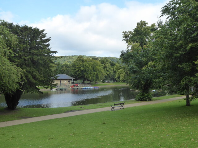
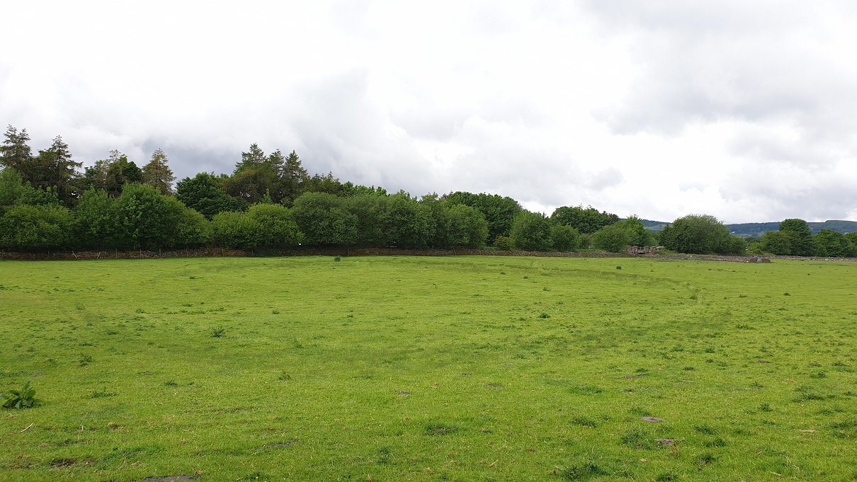
Ashwood Dale is a picturesque valley located in Derbyshire, England. It is situated within the Peak District National Park, renowned for its stunning landscapes and natural beauty. The dale is characterized by its steep sides, lush greenery, and meandering river that runs through its center.

The valley is home to a diverse range of flora and fauna, making it a popular destination for nature enthusiasts and wildlife lovers. The wooded areas are filled with oak, beech, and birch trees, providing a habitat for various bird species, including the elusive kingfisher and the majestic buzzard. The river is home to brown trout, adding to the area's natural charm.

Ashwood Dale offers visitors a tranquil and peaceful environment, perfect for those seeking a break from the hustle and bustle of city life. The area is crisscrossed by several walking trails, allowing visitors to explore the valley and take in its breathtaking views. The valley is particularly renowned for its wildflower displays during spring and summer, creating a vibrant and colorful landscape.

For those interested in history, Ashwood Dale is also home to several archaeological sites, including Iron Age hillforts and Roman ruins. These remnants provide a glimpse into the area's rich past and offer an opportunity for visitors to delve into its historical significance.

Overall, Ashwood Dale is a hidden gem within Derbyshire, offering visitors a chance to connect with nature, explore its history, and enjoy the peace and tranquility of this stunning valley.

If you have any feedback on the listing, please let us know in the comments section below.
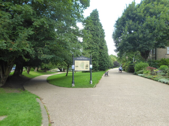
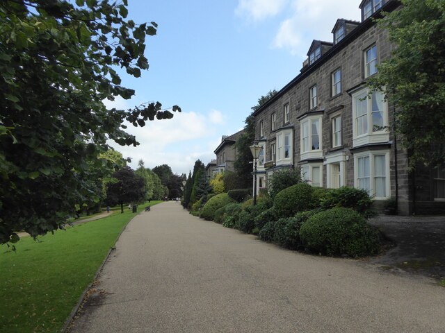
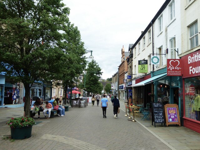
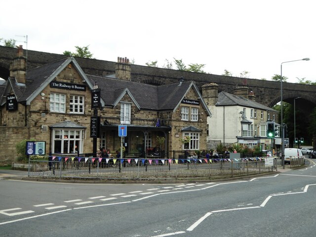
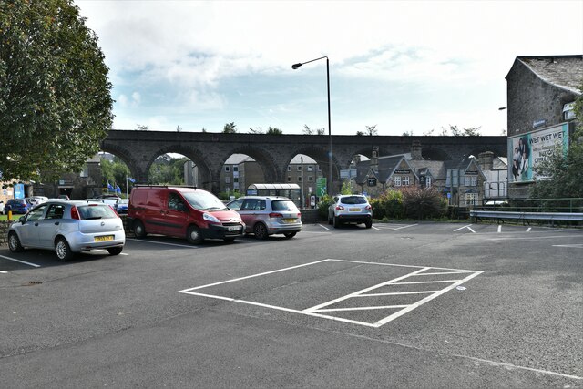
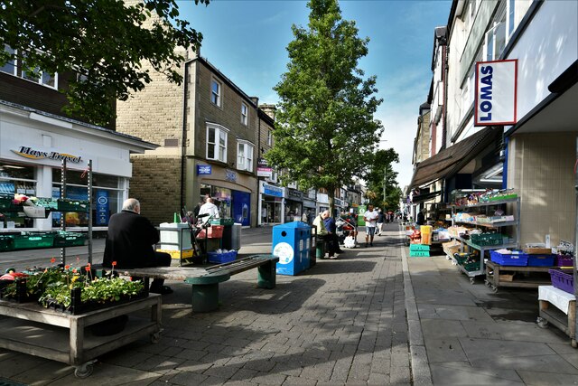
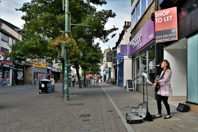
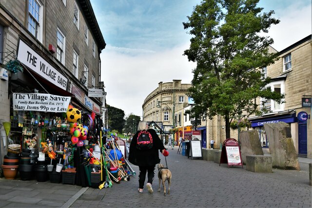
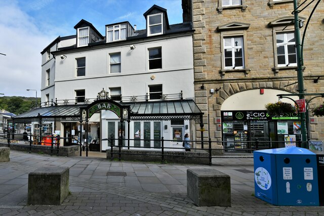
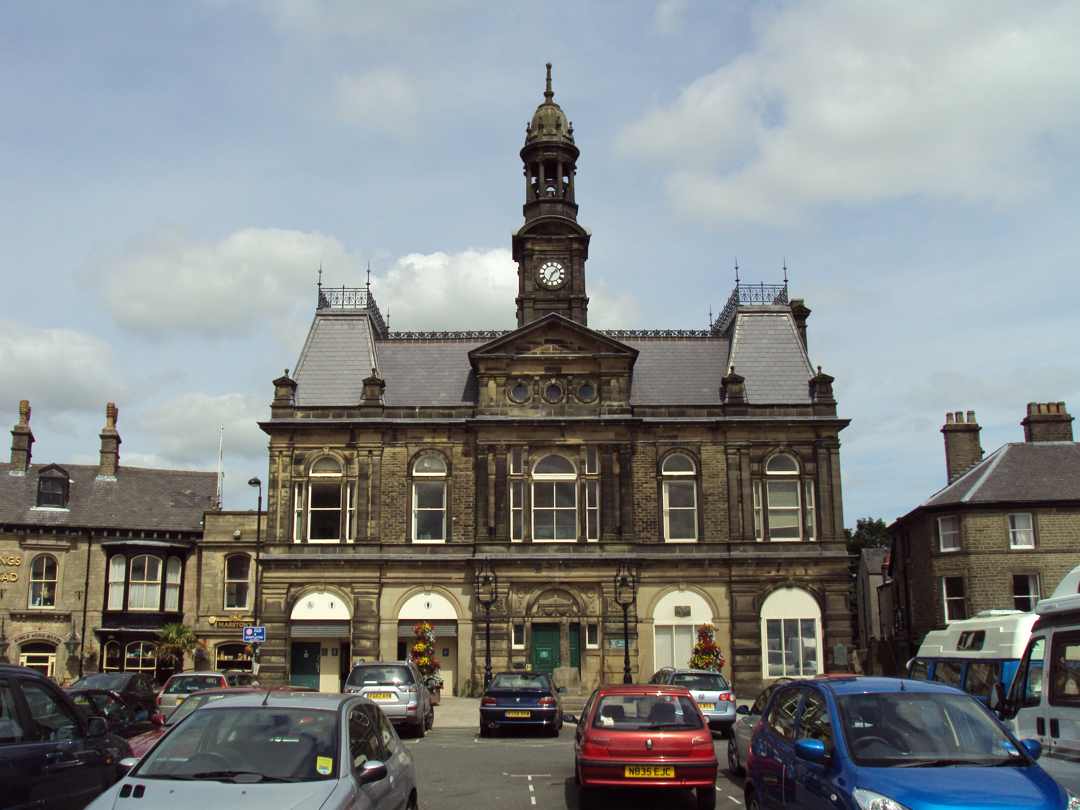
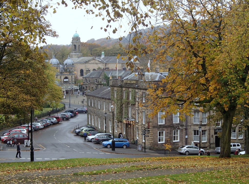
Ashwood Dale Images

Images are sourced within 2km of 53.25433/-1.9034934 or Grid Reference SK0673. Thanks to Geograph Open Source API. All images are credited.

The southern entrance to the Pavilion Gardens Buxton
The lake in Pavilion Gardens Buxton
Large houses on Broad Walk overlooking Pavilion Gardens Originally grand town houses these are now nearly all guest accommodation or businesses.
Large houses on Broad Walk overlooking Pavilion Gardens
Originally grand town houses these are now nearly all guest accommodation or businesses.
Queen Victoria (VR) Post Box (1837-1901), Buxton
Looking east along Spring Gardens
The Railway @ Buxton public house
Buxton: Small private car park
Buxton: Spring Gardens
Buxton: Busking in Spring Gardens
Buxton: Spring Gardens
Buxton, Spring Gardens: Sam's Plaice and Peak Assets
Buxton: Spring Gardens
Buxton: Entrance to the Spring Gardens Shopping Centre
Buxton: Busking near to the entrance to the Spring Gardens Shopping Centre
Buxton: Spring Gardens
Buxton: The Crescent
Buxton: Multidirectional sign and a few ads in front of The Crescent
Show me another place!

Ashwood Dale is located at Grid Ref: SK0673 (Lat: 53.25433, Lng: -1.9034934)

Administrative County: Derbyshire

District: High Peak

Police Authority: Derbyshire

What 3 Words

///prefect.employer.elbow. Near Buxton, Derbyshire

Related Wikis

Nearby Amenities

Located within 500m of 53.25433,-1.9034934
Turning Circle
Lat/Long: 53.2556294/-1.9053359
Turning Circle
Lat/Long: 53.2547398/-1.9063604
Turning Circle
Lat/Long: 53.2555011/-1.9062751
Traffic Signals
Lat/Long: 53.2549618/-1.91017
Turning Circle
Lat/Long: 53.2559696/-1.9061614
Turning Circle
Lat/Long: 53.2560376/-1.905166
Police
'B' Divisional Headquarters (Buxton Enquiry Office)
Addr City: Buxton
Addr Housename: Buxton Enquiry Office
Addr Postcode: SK17 6QL
Addr Street: Silverlands
Opening Hours: Mo-Fr 10:00-16:00
Operator: Derbyshire Constabulary
Operator Wikidata: Q5261560
Website: https://www.derbyshire.police.uk/area/your-area/derbyshire/high-peak/buxton-town/about-us/top-reported-crimes-in-this-area
Lat/Long: 53.2574438/-1.9069027
Fast Food
China House
Addr City: Buxton
Addr Housenumber: 115
Addr Postcode: SK17 7PE
Addr Street: Victoria Park Road
Cuisine: chinese
Fhrs Id: 1258664
Old Fhrs Id: 389730
Wheelchair: yes
Lat/Long: 53.2575408/-1.8982905
Post Box
Lat/Long: 53.257475/-1.8981658
Barrier: fence
Lat/Long: 53.2561214/-1.9038937
Barrier: fence
Lat/Long: 53.2561624/-1.9040264
Higher Buxton
Historic Railway: station
Railway: site
Lat/Long: 53.2557894/-1.9083298
Recycling
Location: overground
Operator: Salvation Army, Morrisons Foundation
Recycling Clothes: yes
Recycling Shoes: yes
Recycling Type: container
Lat/Long: 53.2542001/-1.9038477
Barrier: stile
Lat/Long: 53.252957/-1.9030463
Traffic Calming: table
Lat/Long: 53.2529426/-1.9094284
Traffic Calming: hump
Lat/Long: 53.2527072/-1.9090463
Traffic Calming: hump
Lat/Long: 53.2545908/-1.9100951
Traffic Calming: hump
Lat/Long: 53.2537677/-1.9096716
Traffic Calming: hump
Lat/Long: 53.2544439/-1.9109582
Traffic Calming: hump
Lat/Long: 53.2537467/-1.9105572
Traffic Calming: hump
Lat/Long: 53.2530511/-1.9103319
Traffic Calming: hump
Lat/Long: 53.2546357/-1.9090604
Traffic Calming: hump
Lat/Long: 53.2532781/-1.908414
Traffic Calming: hump
Lat/Long: 53.253283/-1.9084141
Traffic Calming: cushion
Lat/Long: 53.2513532/-1.9077784
Post Box
Collection Times: Mo-Fr 09:00; Sa 07:00
Operator: Royal Mail
Operator Wikidata: Q638098
Post Box Type: pillar
Ref: SK17 61D
Royal Cypher: VR
Royal Cypher Wikidata: Q33102356
Lat/Long: 53.2537842/-1.9062458
Bus Stop
Bus: yes
Naptan AtcoCode: 1000DFVP2715
Naptan NaptanCode: dbsgawmg
Public Transport: platform
Lat/Long: 53.2574777/-1.8999117
Atm
NoteMachine
Brand: NoteMachine
Brand Wikidata: Q104368525
Fee: no
Opening Hours: 24/7
Operator: NoteMachine
Operator Wikidata: Q104368525
Short Name: NMATM
Lat/Long: 53.2534107/-1.9034458
Atm
NoteMachine
Brand: NoteMachine
Brand Wikidata: Q104368525
Fee: no
Opening Hours: 24/7
Operator: NoteMachine
Operator Wikidata: Q104368525
Short Name: NMATM
Lat/Long: 53.2534153/-1.9034647
Entrance: main
Lat/Long: 53.2538093/-1.9032247
Charging Station
Capacity: 2
Covered: no
Manufacturer: EVBox
Operator: GeniePoint
Operator Wikidata: Q111363966
Lat/Long: 53.2537764/-1.9038439
Direction: 170
Generator Method: photovoltaic
Generator Output Electricity: yes
Generator Solar Modules: 15
Generator Source: solar
Generator Type: solar_photovoltaic_panel
Location: roof
Power: generator
Lat/Long: 53.2511634/-1.9083423
Generator Method: photovoltaic
Generator Output Electricity: yes
Generator Source: solar
Generator Type: solar_photovoltaic_panel
Location: roof
Power: generator
Lat/Long: 53.2552406/-1.8967633
Generator Method: photovoltaic
Generator Output Electricity: yes
Generator Source: solar
Generator Type: solar_photovoltaic_panel
Location: roof
Power: generator
Lat/Long: 53.255645/-1.9013647
Generator Method: photovoltaic
Generator Output Electricity: yes
Generator Source: solar
Generator Type: solar_photovoltaic_panel
Location: roof
Power: generator
Lat/Long: 53.2558168/-1.90047
Generator Method: photovoltaic
Generator Output Electricity: yes
Generator Source: solar
Generator Type: solar_photovoltaic_panel
Location: roof
Power: generator
Lat/Long: 53.2558604/-1.9002027
Generator Method: photovoltaic
Generator Output Electricity: yes
Generator Source: solar
Generator Type: solar_photovoltaic_panel
Location: roof
Power: generator
Lat/Long: 53.2571568/-1.8986432
Generator Method: photovoltaic
Generator Output Electricity: yes
Generator Source: solar
Generator Type: solar_photovoltaic_panel
Location: roof
Power: generator
Lat/Long: 53.2574013/-1.9008202
Generator Method: photovoltaic
Generator Output Electricity: yes
Generator Source: solar
Generator Type: solar_photovoltaic_panel
Location: roof
Power: generator
Lat/Long: 53.255826/-1.9063452
Generator Method: photovoltaic
Generator Output Electricity: yes
Generator Source: solar
Generator Type: solar_photovoltaic_panel
Location: roof
Power: generator
Lat/Long: 53.2558765/-1.9064042
Generator Method: photovoltaic
Generator Output Electricity: yes
Generator Source: solar
Generator Type: solar_photovoltaic_panel
Location: roof
Power: generator
Lat/Long: 53.2555479/-1.9069849
Generator Method: photovoltaic
Generator Output Electricity: yes
Generator Source: solar
Generator Type: solar_photovoltaic_panel
Location: roof
Power: generator
Lat/Long: 53.2553136/-1.9073792
Generator Method: photovoltaic
Generator Output Electricity: yes
Generator Source: solar
Generator Type: solar_photovoltaic_panel
Location: roof
Power: generator
Lat/Long: 53.2545642/-1.906832
Generator Method: photovoltaic
Generator Output Electricity: yes
Generator Source: solar
Generator Type: solar_photovoltaic_panel
Location: roof
Power: generator
Lat/Long: 53.254884/-1.9108038
Generator Method: photovoltaic
Generator Output Electricity: yes
Generator Source: solar
Generator Type: solar_photovoltaic_panel
Location: roof
Power: generator
Lat/Long: 53.254888/-1.9108695
Direction: 165
Generator Method: photovoltaic
Generator Output Electricity: yes
Generator Solar Modules: 6
Generator Source: solar
Generator Type: solar_photovoltaic_panel
Location: roof
Power: generator
Lat/Long: 53.2537146/-1.9099087
Direction: 75
Generator Method: photovoltaic
Generator Output Electricity: yes
Generator Solar Modules: 7
Generator Source: solar
Generator Type: solar_photovoltaic_panel
Location: roof
Power: generator
Lat/Long: 53.2536741/-1.9088149
Direction: 255
Generator Method: photovoltaic
Generator Output Electricity: yes
Generator Solar Modules: 7
Generator Source: solar
Generator Type: solar_photovoltaic_panel
Location: roof
Power: generator
Lat/Long: 53.2536637/-1.9089263
Direction: SSE
Generator Method: photovoltaic
Generator Output Electricity: yes
Generator Solar Modules: 13
Generator Source: solar
Generator Type: solar_photovoltaic_panel
Location: roof
Power: generator
Lat/Long: 53.2560499/-1.8970263
Direction: ENE
Generator Method: photovoltaic
Generator Output Electricity: yes
Generator Solar Modules: 8
Generator Source: solar
Generator Type: solar_photovoltaic_panel
Location: roof
Power: generator
Lat/Long: 53.255952/-1.8974997
Direction: WSW
Generator Method: photovoltaic
Generator Output Electricity: yes
Generator Solar Modules: 8
Generator Source: solar
Generator Type: solar_photovoltaic_panel
Location: roof
Power: generator
Lat/Long: 53.2559392/-1.8975614
Morrisons Daily
Addr City: Buxton
Addr Housenumber: 91
Addr Postcode: SK17 7PU
Addr Street: Victoria Park Road
Brand: Morrisons Daily
Brand Wikidata: Q99752411
Opening Hours: Mo-Sa 06:00-21:00; Su 07:00-21:00
Operator: McColls
Phone: +44 1298 214 845
Shop: convenience
Website: https://my.morrisons.com/storefinder/69155/morrisons-daily-buxton-victoria-park-road
Lat/Long: 53.2574885/-1.8986606
Man Made: flagpole
Lat/Long: 53.2571157/-1.9073518
Power: substation
Lat/Long: 53.2571093/-1.9074992
Crossing
Crossing: unmarked
Crossing Markings: no
Lat/Long: 53.257196/-1.9073695
Barrier: kerb
Kerb: lowered
Lat/Long: 53.2570918/-1.9074472
Crossing
Crossing: unmarked
Crossing Markings: no
Lat/Long: 53.2571837/-1.906501
Barrier: kerb
Kerb: lowered
Lat/Long: 53.2571976/-1.9063391
Barrier: kerb
Kerb: lowered
Lat/Long: 53.2571802/-1.9065401
Crossing
Crossing: unmarked
Crossing Markings: no
Lat/Long: 53.2570873/-1.9074824
Barrier: kerb
Kerb: lowered
Lat/Long: 53.2570829/-1.9075157
Buxton Detactment Army Cadets - A Company
Military: office
Website: https://armycadets.com/county/derbyshire-acf/
Lat/Long: 53.2573258/-1.9062918
Buxton Sea Cadet Corps - T S Bulwark
Military: office
Website: https://www.sea-cadets.org/buxton
Lat/Long: 53.2573286/-1.9061939
2517 (Buxton) Squadron Air Training Corps
Military: office
Lat/Long: 53.2573332/-1.9060877
The data included in this document is from www.openstreetmap.org. The data is made available under ODbL.

Have you been to Ashwood Dale?

Leave your review of Ashwood Dale below (or comments, questions and feedback).