Barrett Clough
Valley in Yorkshire
England
Barrett Clough
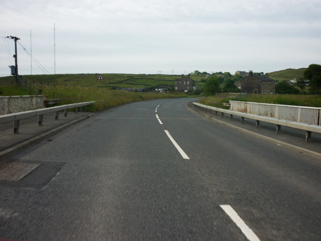
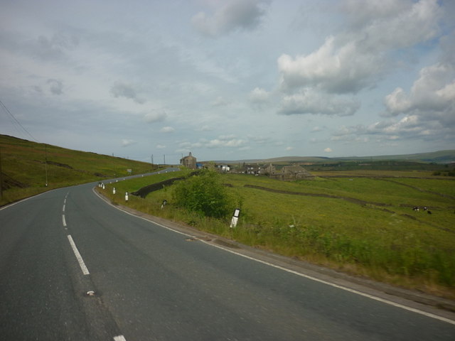
Barrett Clough is a picturesque village nestled in the heart of Yorkshire, England. Situated in a beautiful valley surrounded by rolling hills and lush greenery, this small rural community offers a tranquil and idyllic setting for its residents and visitors alike.
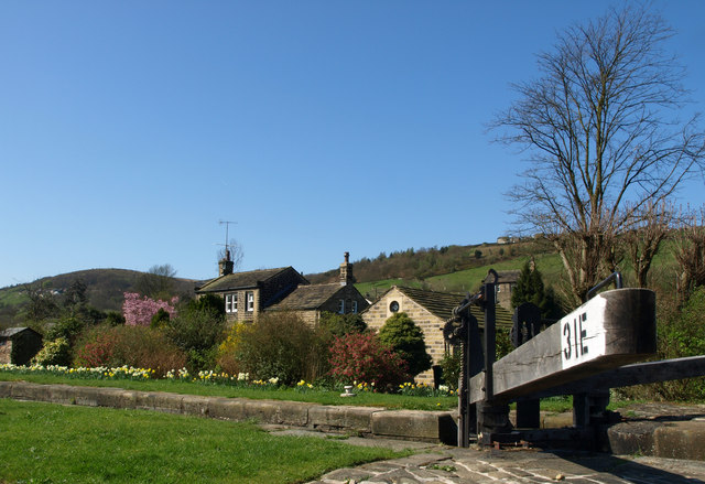
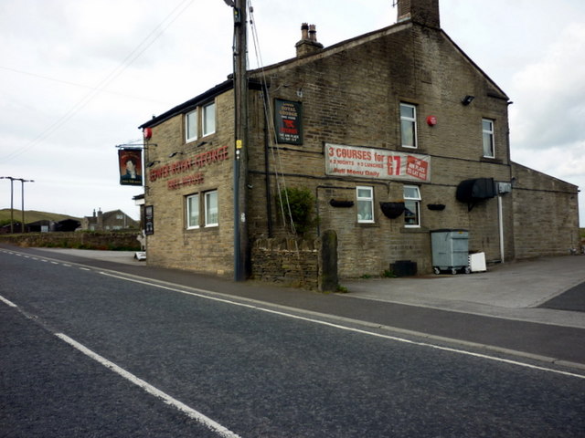
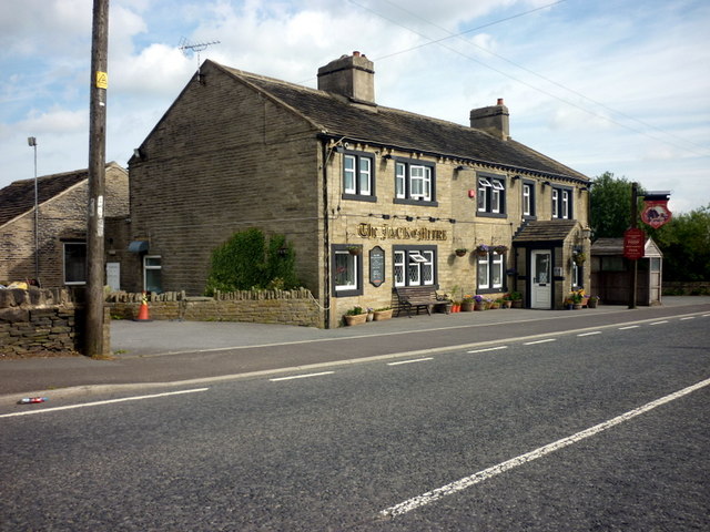
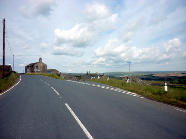
The village is known for its charming stone cottages, traditional architecture, and well-preserved historical buildings. The Barrett Clough Parish Church, dating back to the 12th century, is a prominent landmark and a testament to the area's rich history.
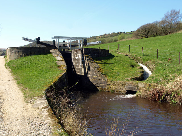
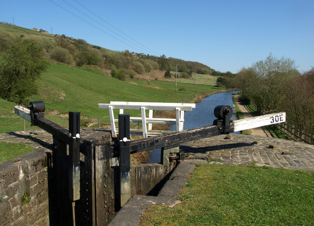
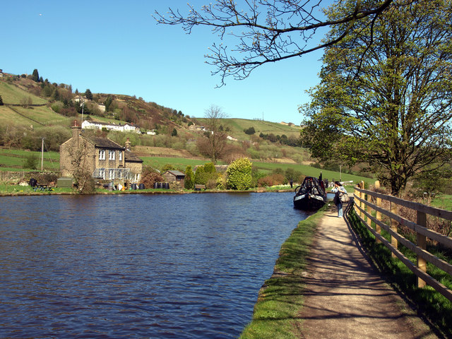
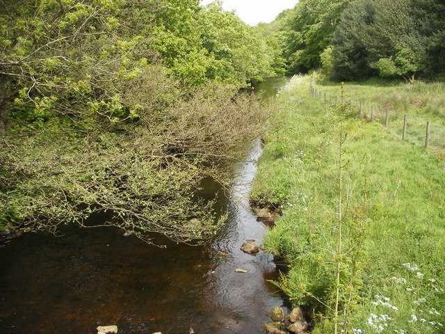
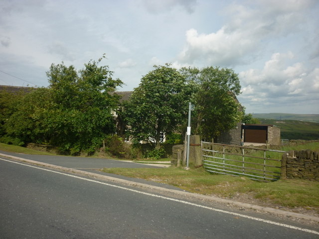
Nature enthusiasts will find themselves in awe of the breathtaking landscapes that surround Barrett Clough. The valley is traversed by a meandering river, which adds to the village's picturesque charm. The nearby moors and forests provide ample opportunities for hiking, birdwatching, and exploring the abundant flora and fauna.
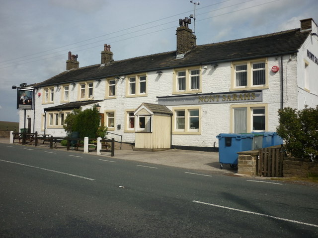
Despite its small size, Barrett Clough boasts a strong sense of community. The locals are friendly and welcoming, and the village hosts various events and festivals throughout the year. The annual Barrett Clough Fair, held in the summer, is a highlight for both residents and visitors, featuring traditional music, crafts, and local delicacies.
For those seeking a peaceful retreat away from the hustle and bustle of city life, Barrett Clough offers a serene escape. The village is well-connected to nearby towns and cities, ensuring that essential amenities and services are within easy reach. Whether it's enjoying the charm of its historic buildings, immersing oneself in nature, or experiencing the warmth of its community, Barrett Clough has something to offer for everyone.
If you have any feedback on the listing, please let us know in the comments section below.
Barrett Clough Images
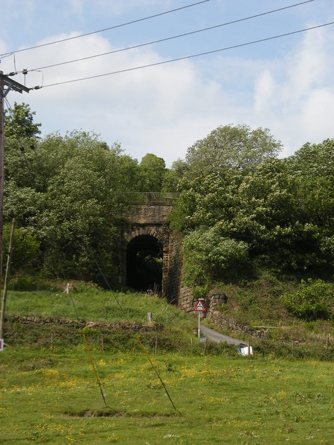
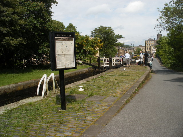
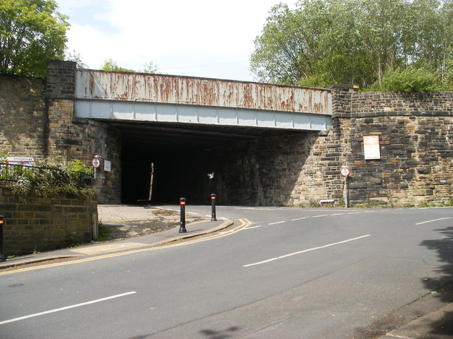
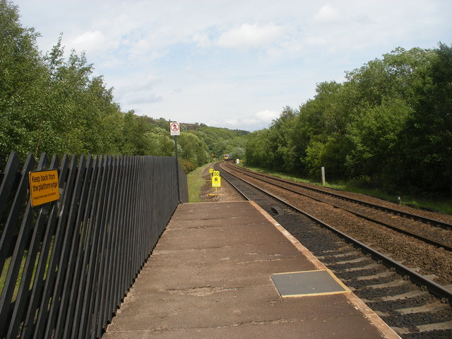
Images are sourced within 2km of 53.627909/-1.9020558 or Grid Reference SE0614. Thanks to Geograph Open Source API. All images are credited.
Barrett Clough is located at Grid Ref: SE0614 (Lat: 53.627909, Lng: -1.9020558)
Division: West Riding
Unitary Authority: Kirklees
Police Authority: West Yorkshire
What 3 Words
///quits.courier.refreshed. Near Marsden, West Yorkshire
Nearby Locations
Related Wikis

Wilberlee
Wilberlee is a hamlet in the Colne Valley, in the Kirklees district, in the county of West Yorkshire, England. It is near the town of Huddersfield and...

Moorside Edge
The Moorside Edge is a steeply sloping area of moorland at grid reference SE070154 just north of Slaithwaite and about 5 miles (8 km) west of Huddersfield...
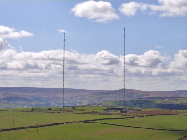
Moorside Edge transmitting station
Moorside Edge transmitting station, opened in 1931, was originally constructed to radiate the BBC's North Regional (from 17 May on 626 kHz) and National...

Pole Moor
Pole Moor is a hamlet between Outlane and Scammonden in Kirklees, England. It is situated on a high moorland plateau between Slaithwaite and Wholestone...
Nearby Amenities
Located within 500m of 53.627909,-1.9020558Have you been to Barrett Clough?
Leave your review of Barrett Clough below (or comments, questions and feedback).