Wilberlee
Settlement in Yorkshire
England
Wilberlee
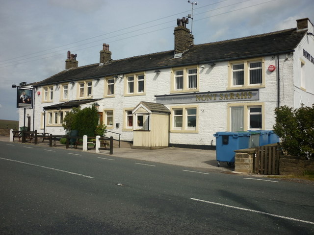
Wilberlee is a small village located in the county of Yorkshire, England. Situated in the Holme Valley, it is part of the Kirklees district and is nestled between the towns of Huddersfield and Holmfirth. With a population of around 500 residents, Wilberlee offers a peaceful and picturesque setting for its inhabitants.
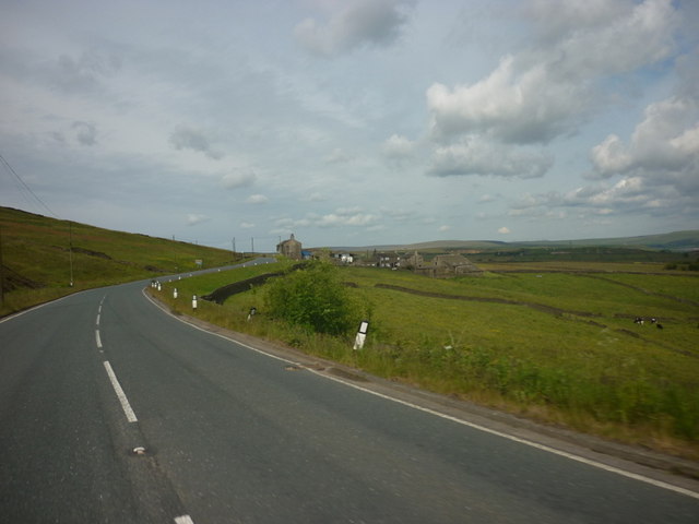
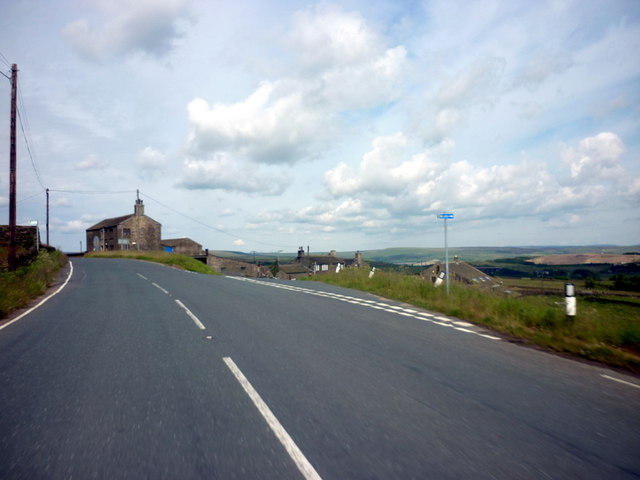
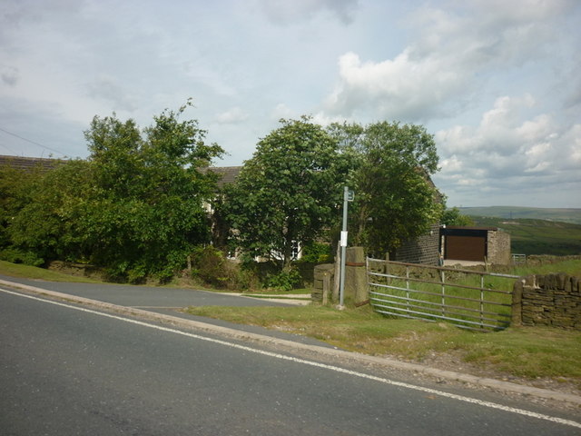
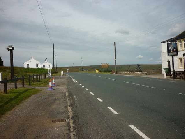
Surrounded by rolling hills and lush green countryside, Wilberlee is a popular destination for nature enthusiasts and outdoor activities. The village is blessed with stunning views of the Peak District National Park, which lies just a few miles away, providing ample opportunities for hiking, cycling, and exploring the beautiful surroundings.
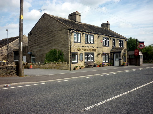
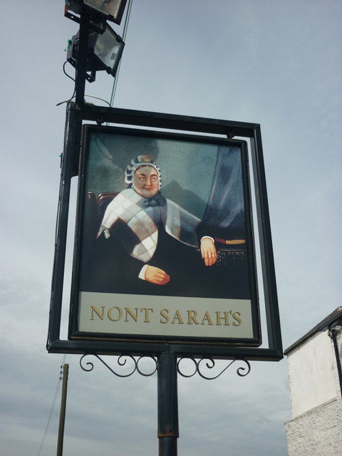
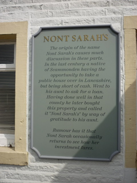
Despite its small size, Wilberlee has a strong sense of community and boasts a range of amenities for its residents. These include a local pub, a primary school, a village hall, and a small convenience store, offering convenience and local services to its inhabitants.
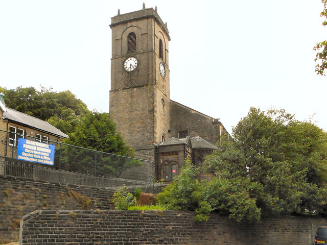
The village is also rich in history, with several historic buildings and landmarks. St. Mary's Church, a Grade II listed building, stands as a prominent feature in the village and dates back to the 19th century. In addition, the nearby Holme Valley Memorial Hospital is a well-known institution that provides healthcare services to the wider area.
Overall, Wilberlee is a charming village that offers a tranquil escape from the hustle and bustle of city life. Its natural beauty, strong community spirit, and historical significance make it an idyllic place to live or visit.
If you have any feedback on the listing, please let us know in the comments section below.
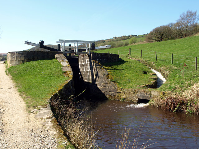
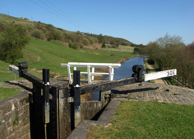
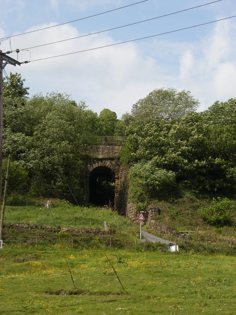
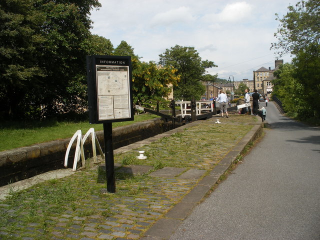
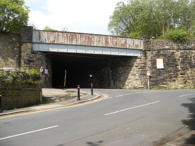
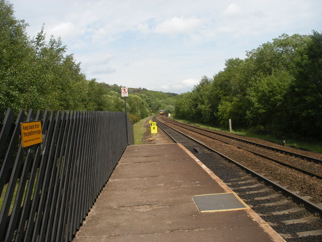
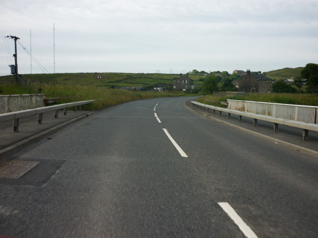
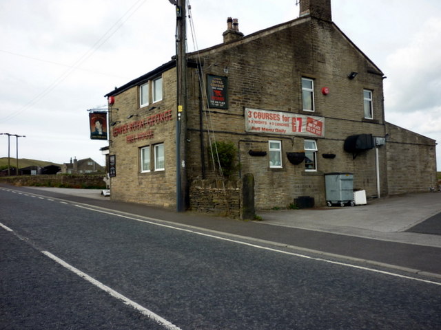
Wilberlee Images
Images are sourced within 2km of 53.629454/-1.9004494 or Grid Reference SE0614. Thanks to Geograph Open Source API. All images are credited.
Wilberlee is located at Grid Ref: SE0614 (Lat: 53.629454, Lng: -1.9004494)
Division: West Riding
Unitary Authority: Kirklees
Police Authority: West Yorkshire
What 3 Words
///adopters.increment.names. Near Marsden, West Yorkshire
Nearby Locations
Related Wikis

Wilberlee
Wilberlee is a hamlet in the Colne Valley, in the Kirklees district, in the county of West Yorkshire, England. It is near the town of Huddersfield and...

Moorside Edge
The Moorside Edge is a steeply sloping area of moorland at grid reference SE070154 just north of Slaithwaite and about 5 miles (8 km) west of Huddersfield...
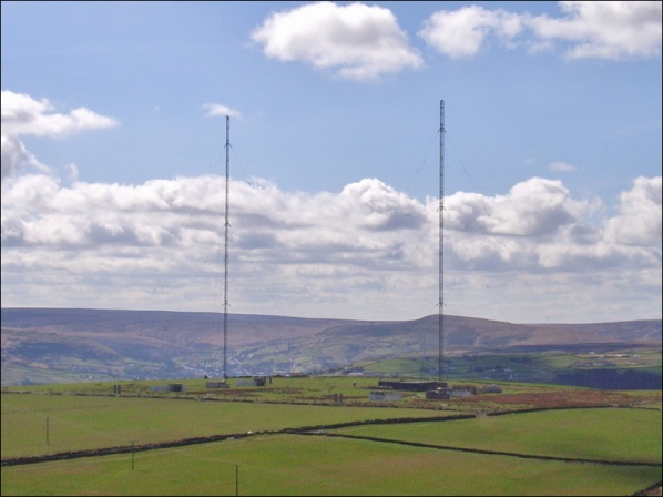
Moorside Edge transmitting station
Moorside Edge transmitting station, opened in 1931, was originally constructed to radiate the BBC's North Regional (from 17 May on 626 kHz) and National...

Pole Moor
Pole Moor is a hamlet between Outlane and Scammonden in Kirklees, England. It is situated on a high moorland plateau between Slaithwaite and Wholestone...

Slaithwaite railway station
Slaithwaite railway station serves the town of Slaithwaite, West Yorkshire, England. The station is 4 miles (6 km) west of Huddersfield railway station...

Slaithwaite Town Hall
Slaithwaite Town Hall, also known as Empire House is a former municipal building in Lewisham Road in the town of Slaithwaite, West Yorkshire, England....

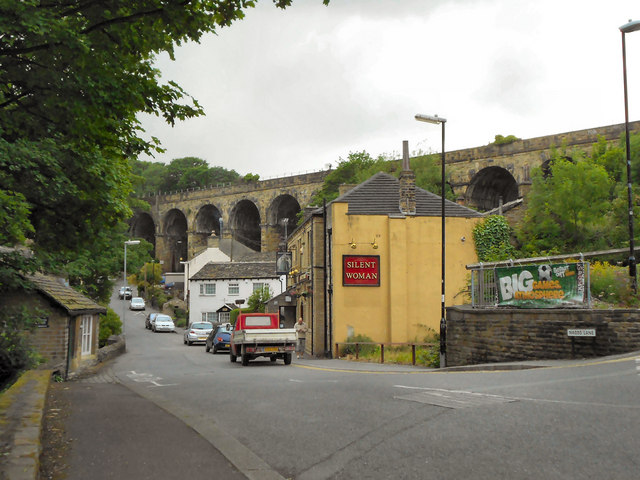
Slaithwaite
Slaithwaite (, locally 'Slaithwaite' ; Old Norse for "timber-fell thwaite/clearing") is a town and former civil parish in the Colne Valley area of the...
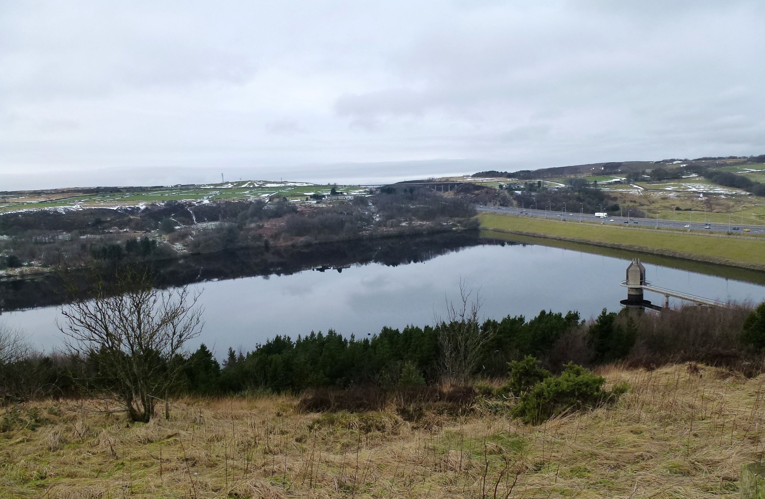
Scammonden Reservoir
Scammonden Reservoir is a water reservoir in West Yorkshire, England. Its water surface area when full is 42 hectares (0.16 sq mi). The level of the bellmouth...
Nearby Amenities
Located within 500m of 53.629454,-1.9004494Have you been to Wilberlee?
Leave your review of Wilberlee below (or comments, questions and feedback).