Fernheath Valley
Valley in Dorset
England
Fernheath Valley

Fernheath Valley is a picturesque valley located in the county of Dorset, England. It is nestled between the towns of Bournemouth and Poole, and is part of the larger protected heathland known as the Dorset Heathlands.
The valley is characterized by its rolling hills, lush green meadows, and dense woodland, which adds to its natural beauty. It is home to a diverse range of flora and fauna, making it a haven for nature enthusiasts and wildlife lovers. The valley is known for its vibrant display of wildflowers during the spring and summer months, including heather, gorse, and various species of orchids.
Fernheath Valley is also intersected by several small streams and brooks, which contribute to the overall charm of the area. These waterways not only add to the aesthetic appeal but also provide habitats for a variety of aquatic creatures.
The valley offers several recreational opportunities, including hiking, cycling, and birdwatching. There are well-maintained footpaths and trails that wind through the valley, providing visitors with stunning views and a chance to explore the surrounding countryside. The area is particularly popular with birdwatchers, as it is home to a wide array of bird species, including the iconic Dartford warbler and nightjar.
Overall, Fernheath Valley is a natural gem in Dorset, offering visitors a chance to immerse themselves in the beauty of the British countryside and experience the tranquility of its diverse ecosystem.
If you have any feedback on the listing, please let us know in the comments section below.
Fernheath Valley Images
Images are sourced within 2km of 50.7544/-1.9077327 or Grid Reference SZ0694. Thanks to Geograph Open Source API. All images are credited.


Fernheath Valley is located at Grid Ref: SZ0694 (Lat: 50.7544, Lng: -1.9077327)
Unitary Authority: Bournemouth, Christchurch and Poole
Police Authority: Dorset
What 3 Words
///visit.loud.punt. Near Parkstone, Dorset
Nearby Locations
Related Wikis
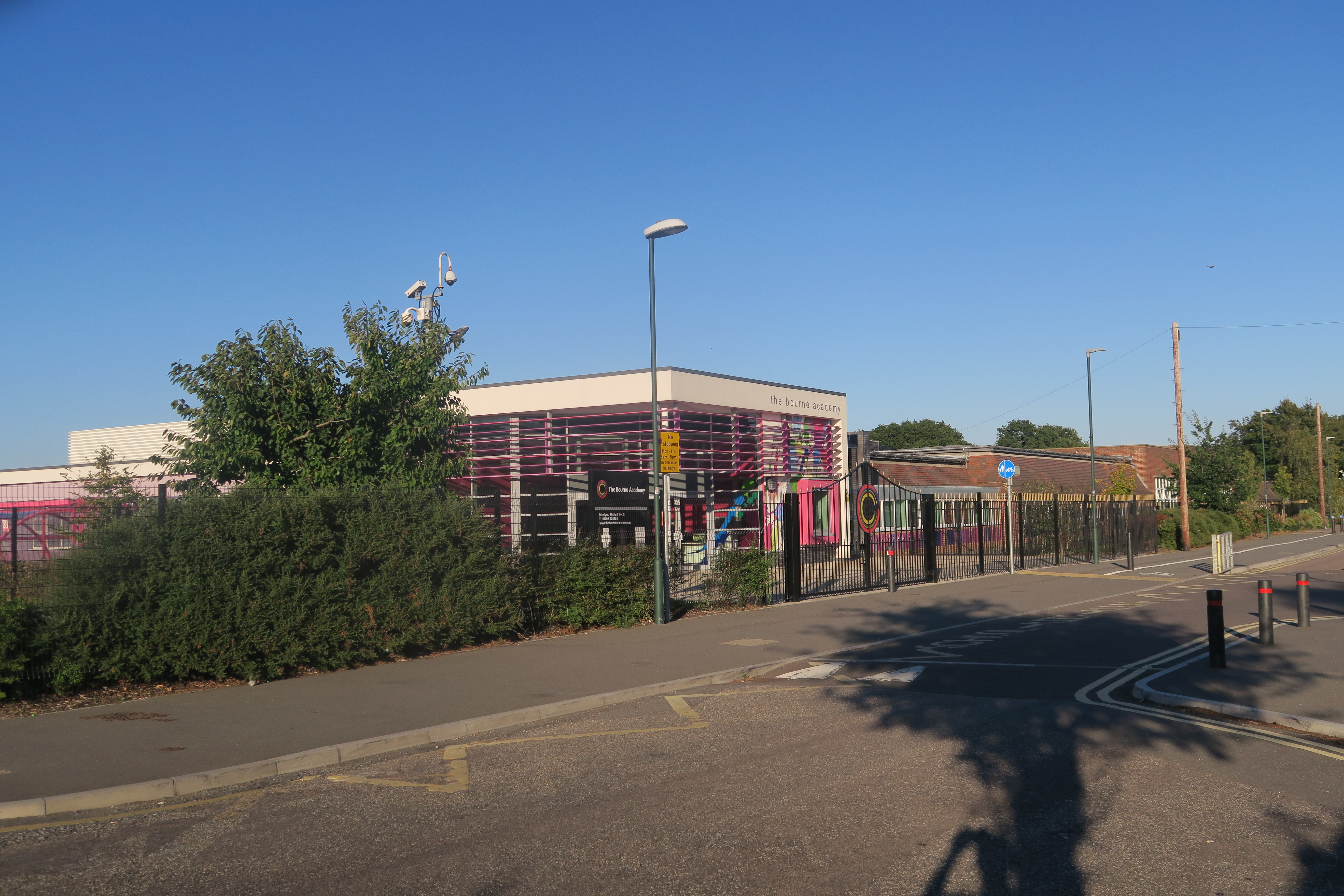
The Bourne Academy
== History == === 1937-1967: East Howe Senior School === The school was built in 1937 as East Howe Senior School for boys and girls. The original East Howe...
East Howe
East Howe is a residential district of the town of Bournemouth, Dorset on the south coast of England. == Origins == The district takes its name from the...
Turbary Park
Turbary Park is an area of West Howe, Bournemouth in Dorset. Turbary Park is south of Kinson and north of Wallisdown. == Geography == Turbary Common is...

Kinson Cemetery
Kinson Cemetery is a municipal cemetery in Kinson, a suburb of Bournemouth, England. The cemetery is owned by Bournemouth, Christchurch and Poole Council...
Nearby Amenities
Located within 500m of 50.7544,-1.9077327Have you been to Fernheath Valley?
Leave your review of Fernheath Valley below (or comments, questions and feedback).