Appuldurcombe House
Heritage Site in Hampshire
England
Appuldurcombe House

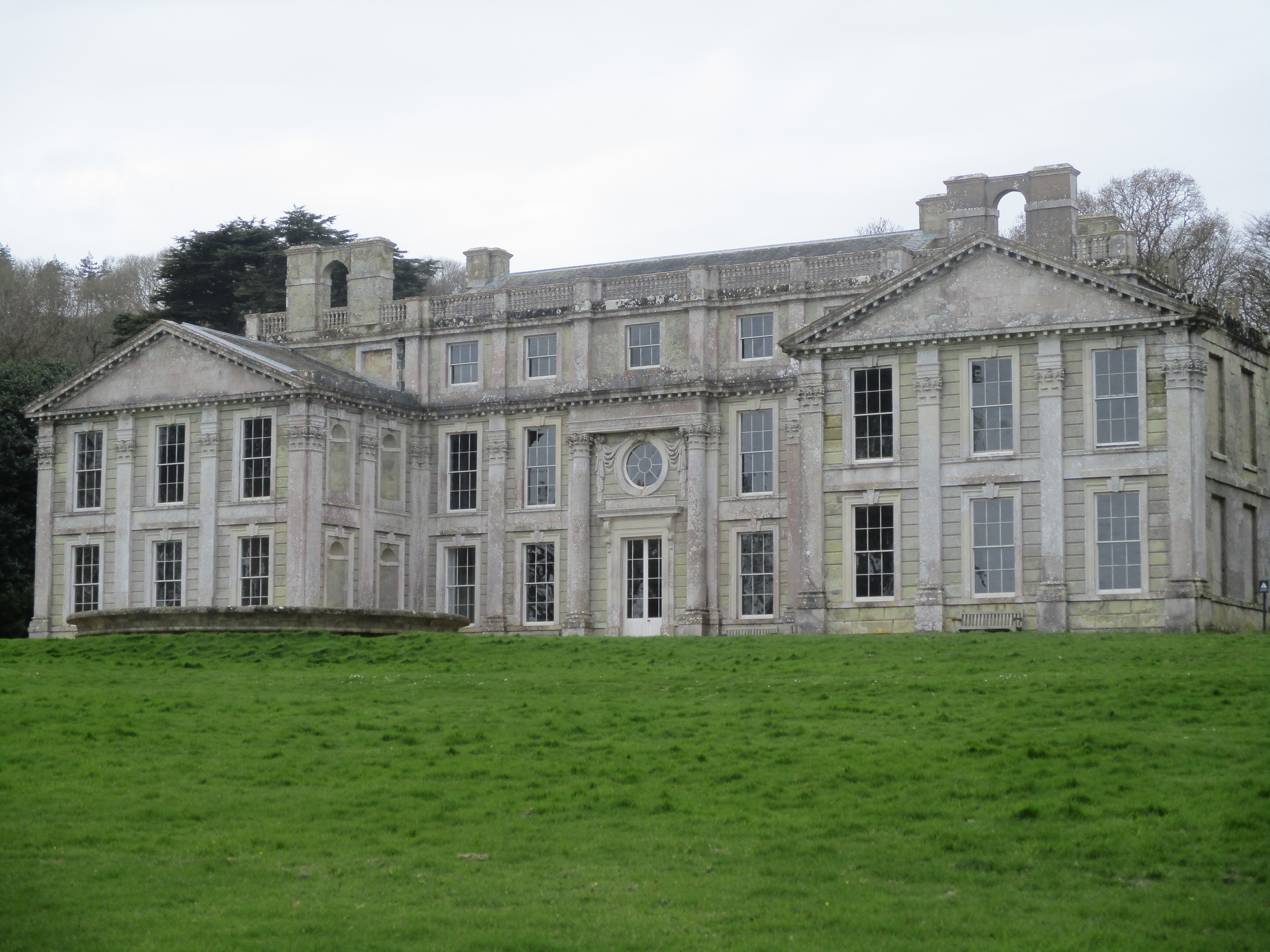
Appuldurcombe House is an imposing and historic mansion located in the picturesque village of Wroxall, on the Isle of Wight in Hampshire, England. This magnificent heritage site is a popular tourist attraction, renowned for its grandeur and architectural beauty.
Built in the 18th century by Sir Robert Worsley, Appuldurcombe House showcases the elegance of Baroque architecture. The mansion features a stunning facade adorned with intricate stone carvings and a grand entrance portico. The interior boasts spacious rooms with exquisite plasterwork, ornate fireplaces, and grand staircases, reflecting the opulence and sophistication of the era.
The house has a rich history, having been a residence for prominent figures such as the Worsley family and later the Worsley-Holmes family. During the English Civil War, it served as a garrison for Parliamentary troops, and later, during World War II, it was used by the military as a command center.
Today, Appuldurcombe House is managed by English Heritage and open to the public. Visitors can explore the stunning gardens surrounding the mansion, which include a beautiful walled garden and a tranquil ornamental pond. The site also offers guided tours, providing visitors with an insight into the history and significance of the house.
Appuldurcombe House is a captivating heritage site, offering a glimpse into the grandeur of the past. Its architectural splendor, rich history, and beautiful surroundings make it a must-visit destination for history enthusiasts and tourists alike.
If you have any feedback on the listing, please let us know in the comments section below.
Appuldurcombe House Images
Images are sourced within 2km of 50.612/-1.23 or Grid Reference SZ5479. Thanks to Geograph Open Source API. All images are credited.


Appuldurcombe House is located at Grid Ref: SZ5479 (Lat: 50.612, Lng: -1.23)
What 3 Words
///pancakes.exporters.thinker. Near Wroxall, Isle of Wight
Nearby Locations
Related Wikis
Appuldurcombe House
Appuldurcombe House (also spelt Appledorecombe or Appledore Combe) is the shell of a large 18th-century English Baroque country house of the Worsley family...
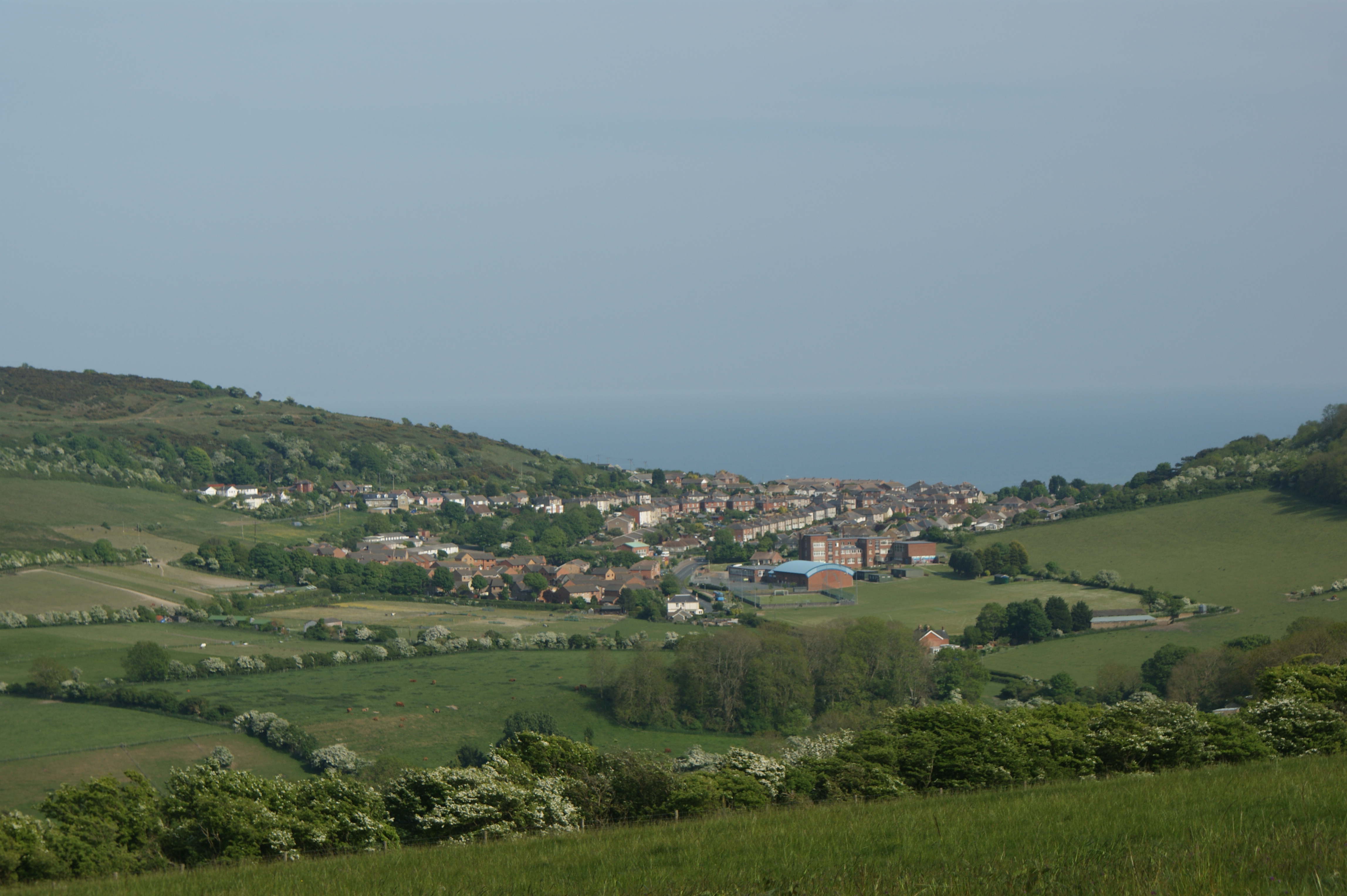
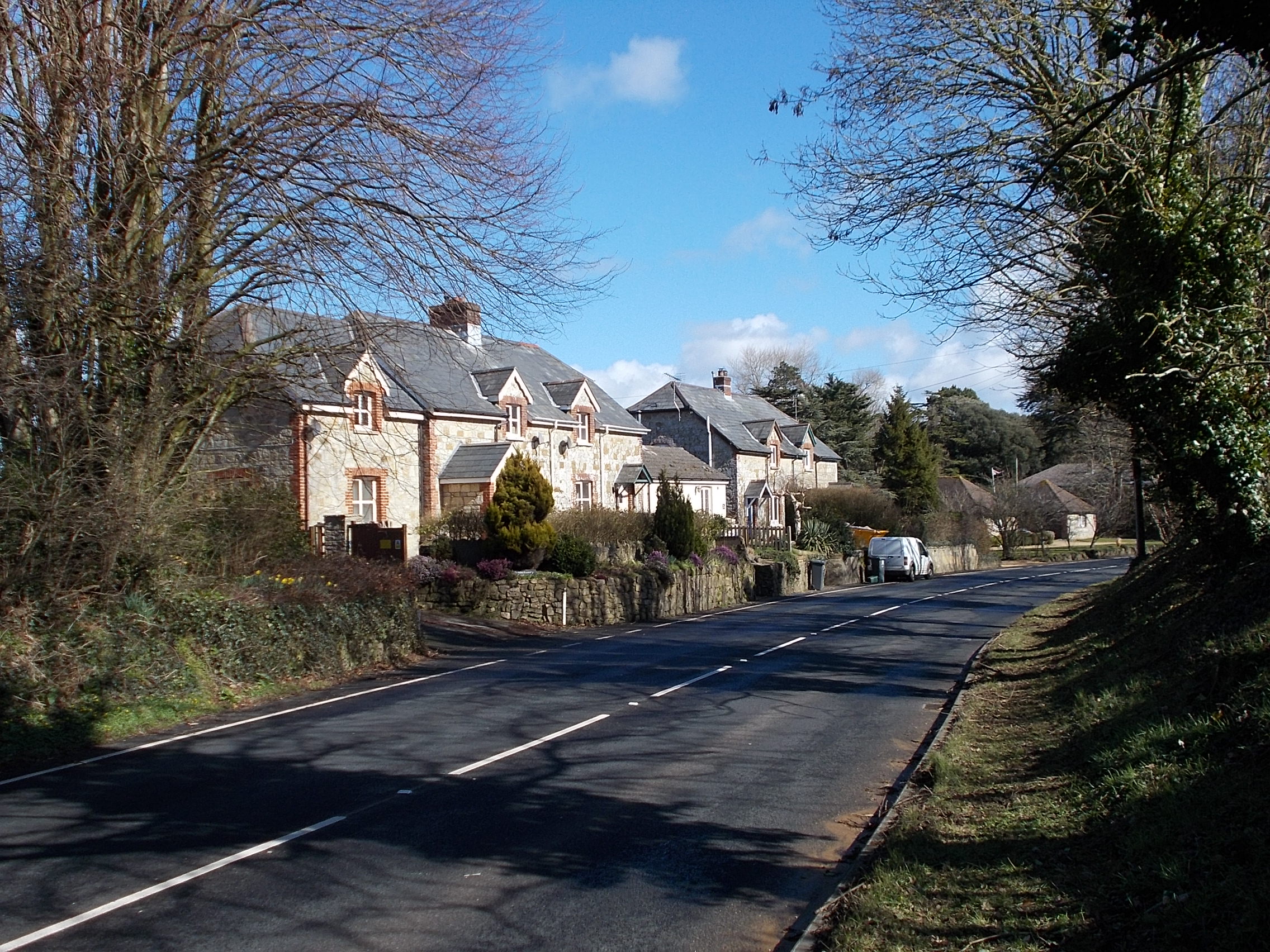
Wroxall, Isle of Wight
Wroxall is a village and civil parish in the central south of the Isle of Wight. It is close to Appuldurcombe House.The parish church is St. John's Church...

Wroxall railway station
Wroxall railway station was an intermediate station on the Isle of Wight Railway line from Ryde, situated between Shanklin and Ventnor with an upland situation...

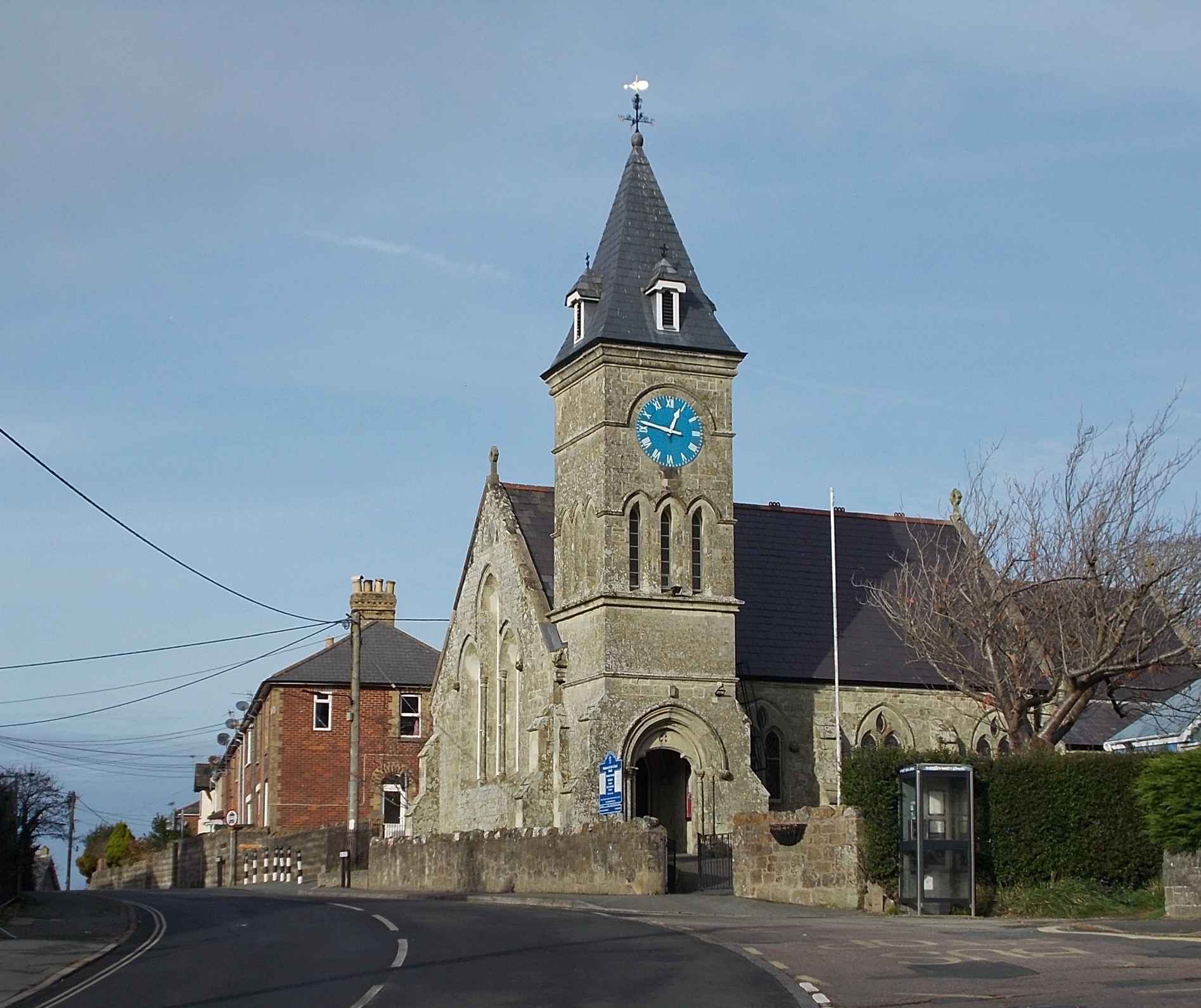
St John's Church, Wroxall
St. John's Church, Wroxall is a parish church in the Church of England located in Wroxall, Isle of Wight. == History == The church dates from 1875 to 1877...

Stenbury Down
Stenbury Down is a chalk down on the Isle of Wight. It is located close to the town of Ventnor, in the southeast of the island, and rises to 226 metres...
Rew Down
Rew Down is a 23.5-hectare biological Site of Special Scientific Interest and Local Nature Reserve located on the south-east edge of the Isle of Wight...
Nettlecombe, Isle of Wight
Nettlecombe is a farming hamlet on the Isle of Wight. It is the site of a deserted medieval village and there is evidence of earthworks close to the present...
Sandford, Isle of Wight
Sandford is a hamlet on the Isle of Wight. Sandford is on the outskirts of Godshill (where the 2011 population was listed) in the southeast part of the...
Nearby Amenities
Located within 500m of 50.612,-1.23Have you been to Appuldurcombe House?
Leave your review of Appuldurcombe House below (or comments, questions and feedback).